
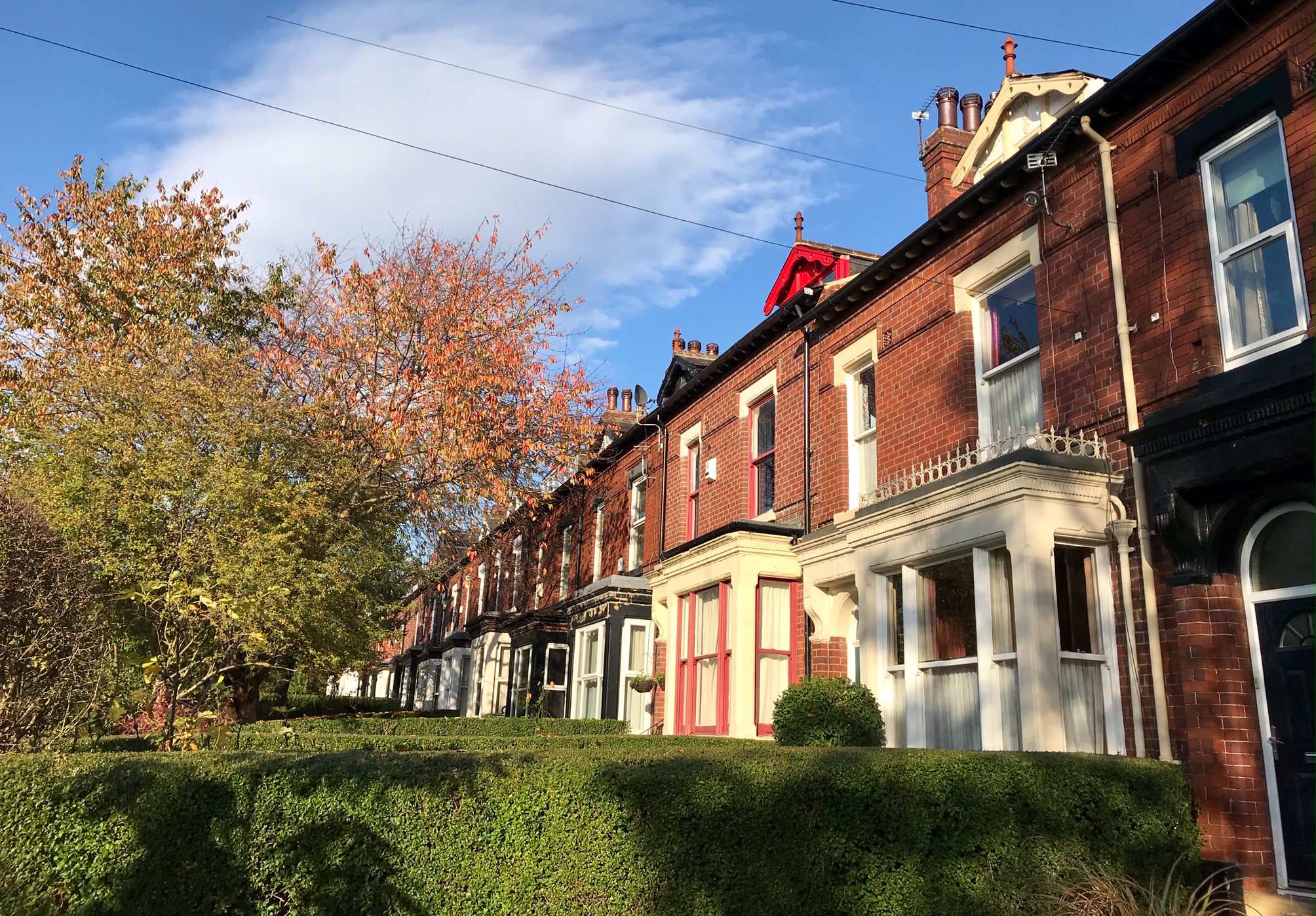
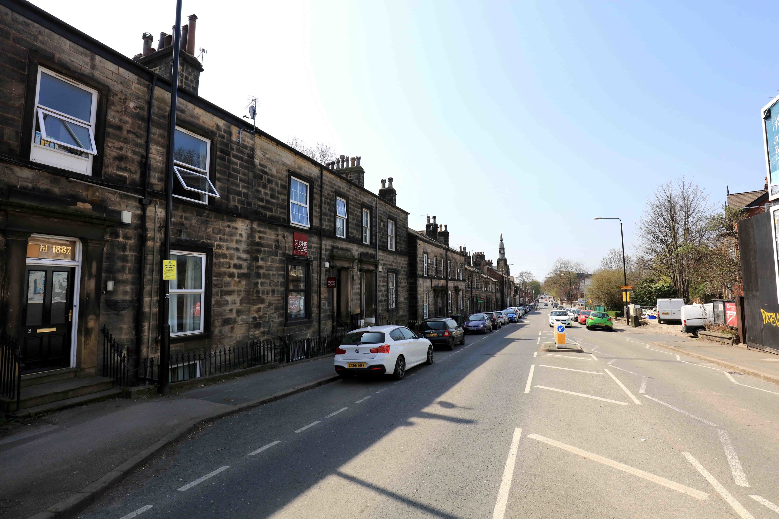
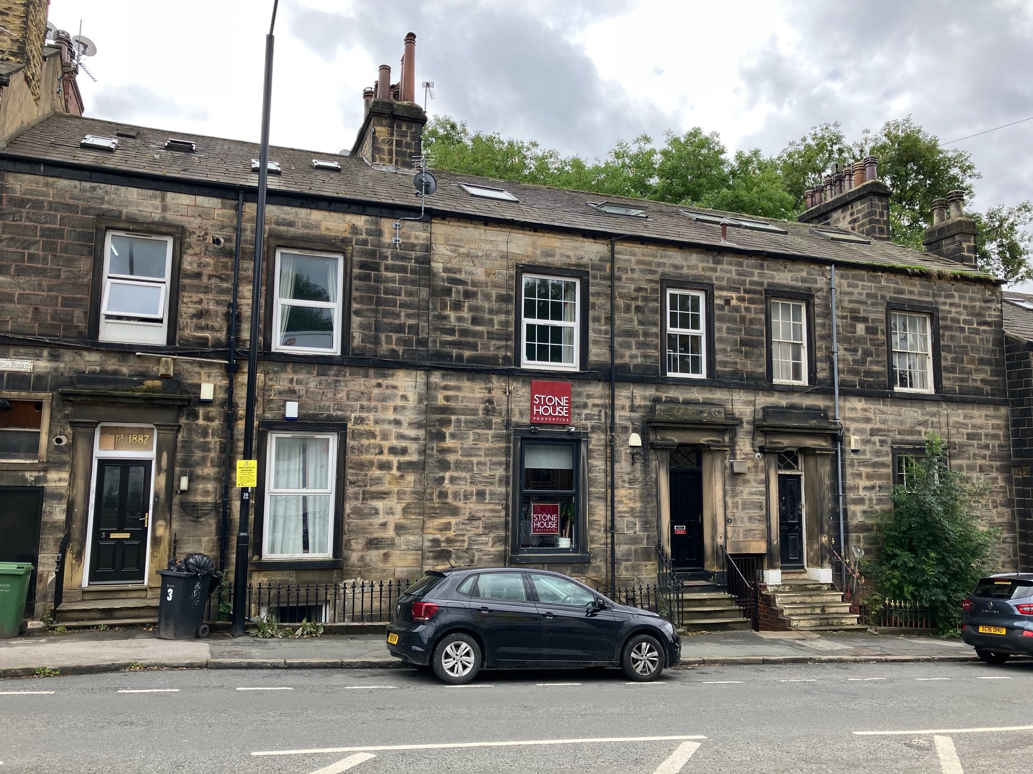
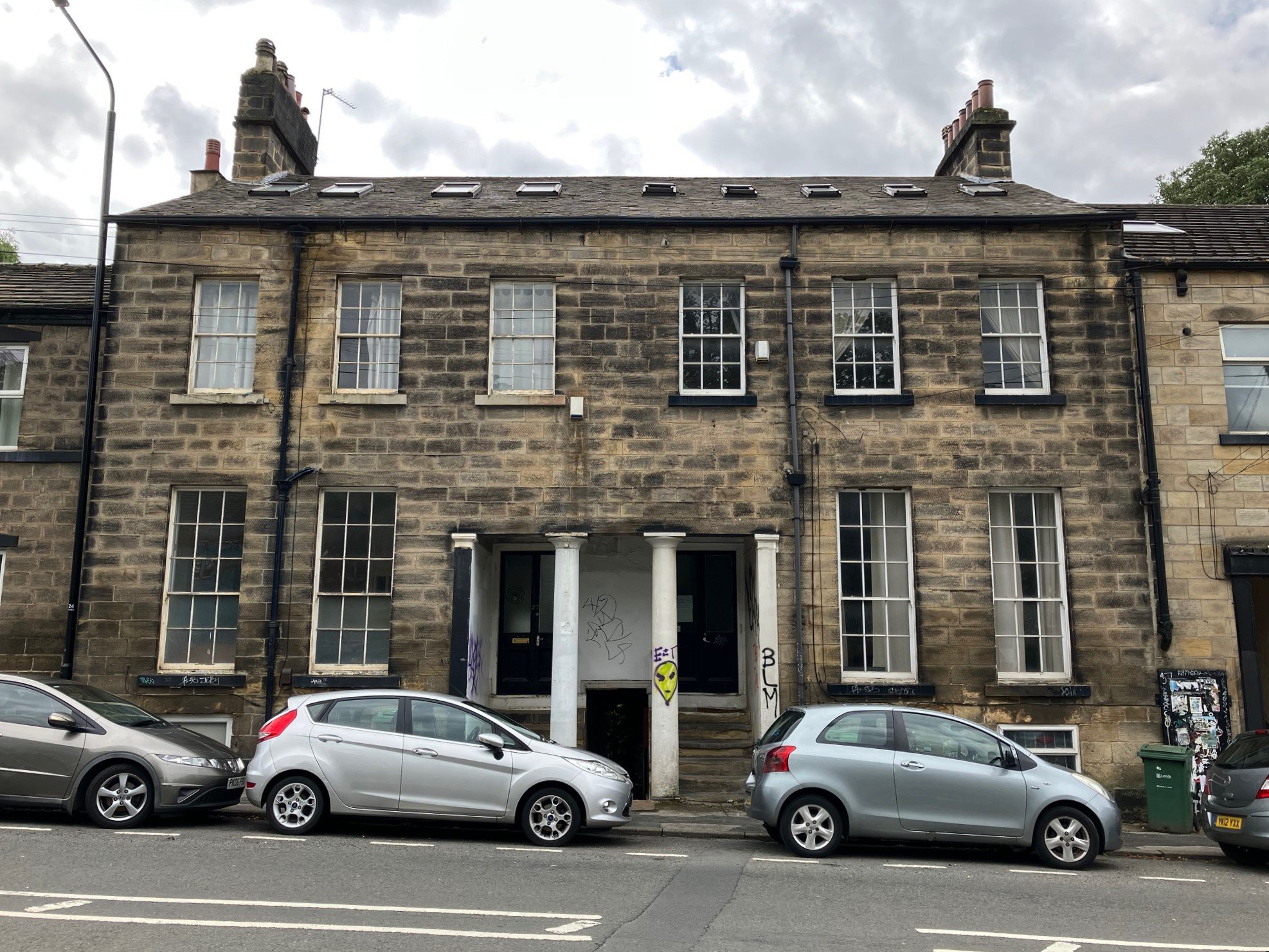
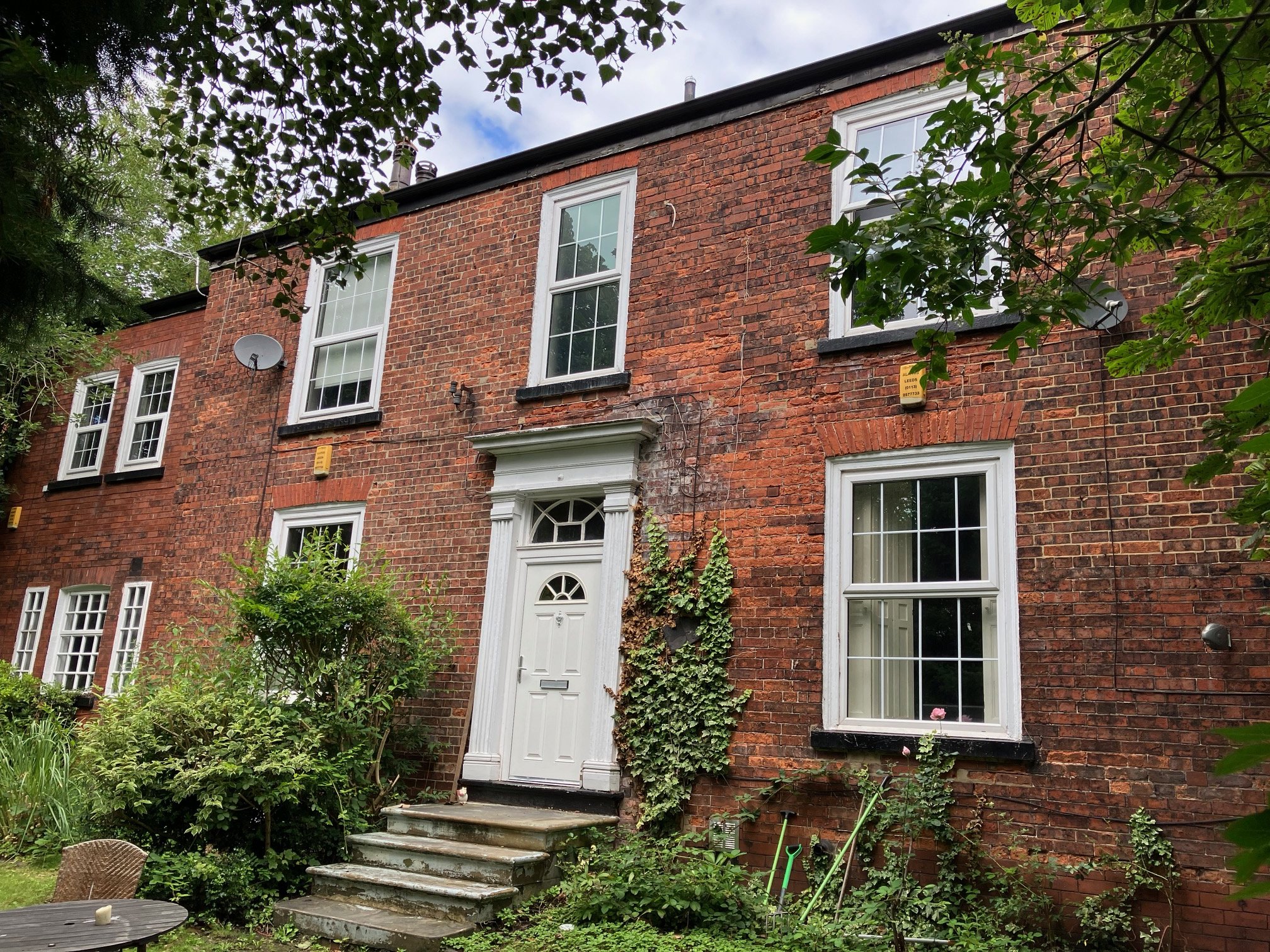
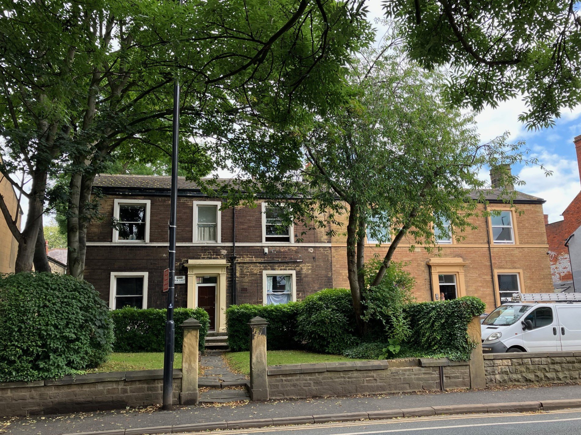
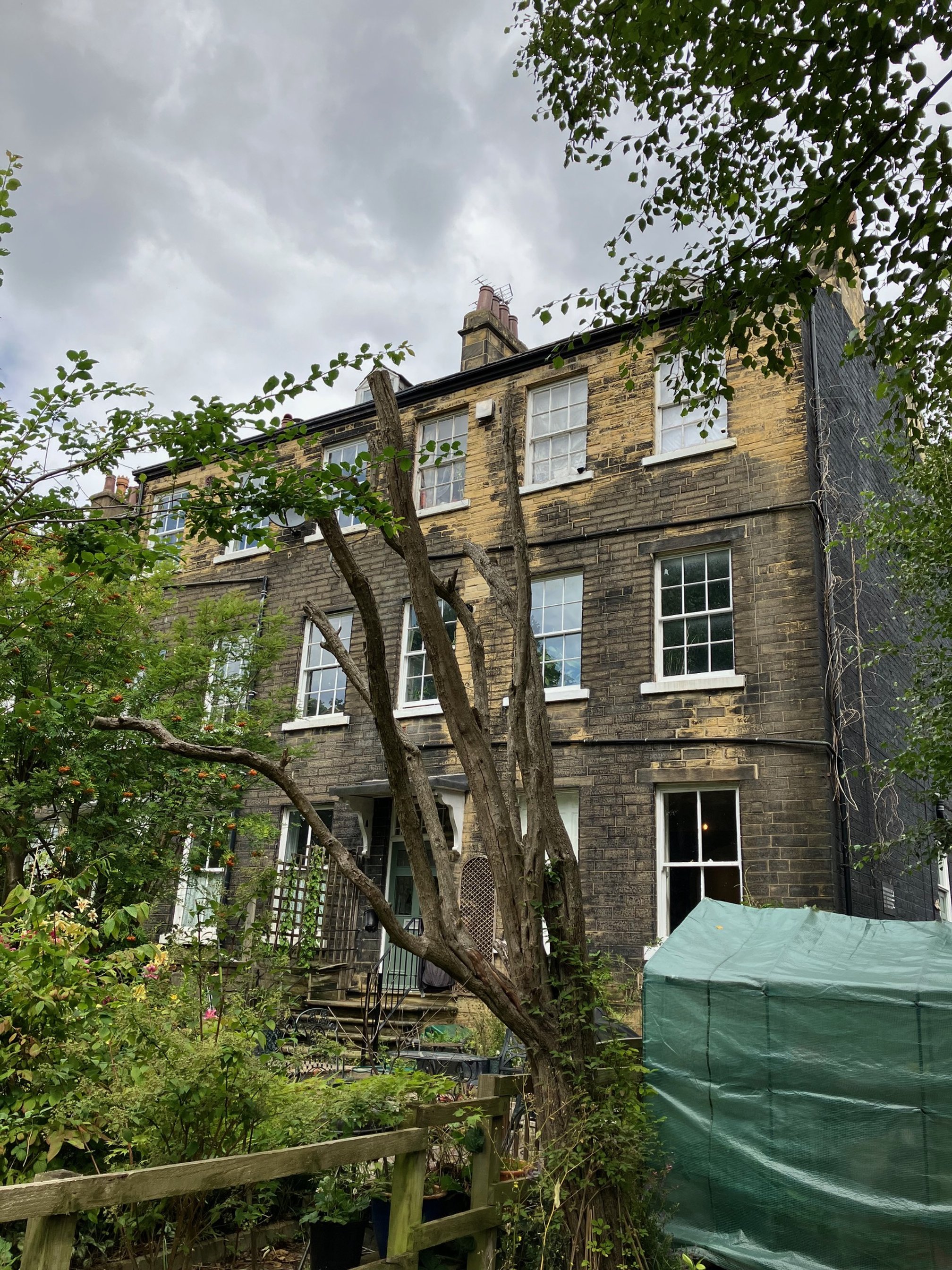
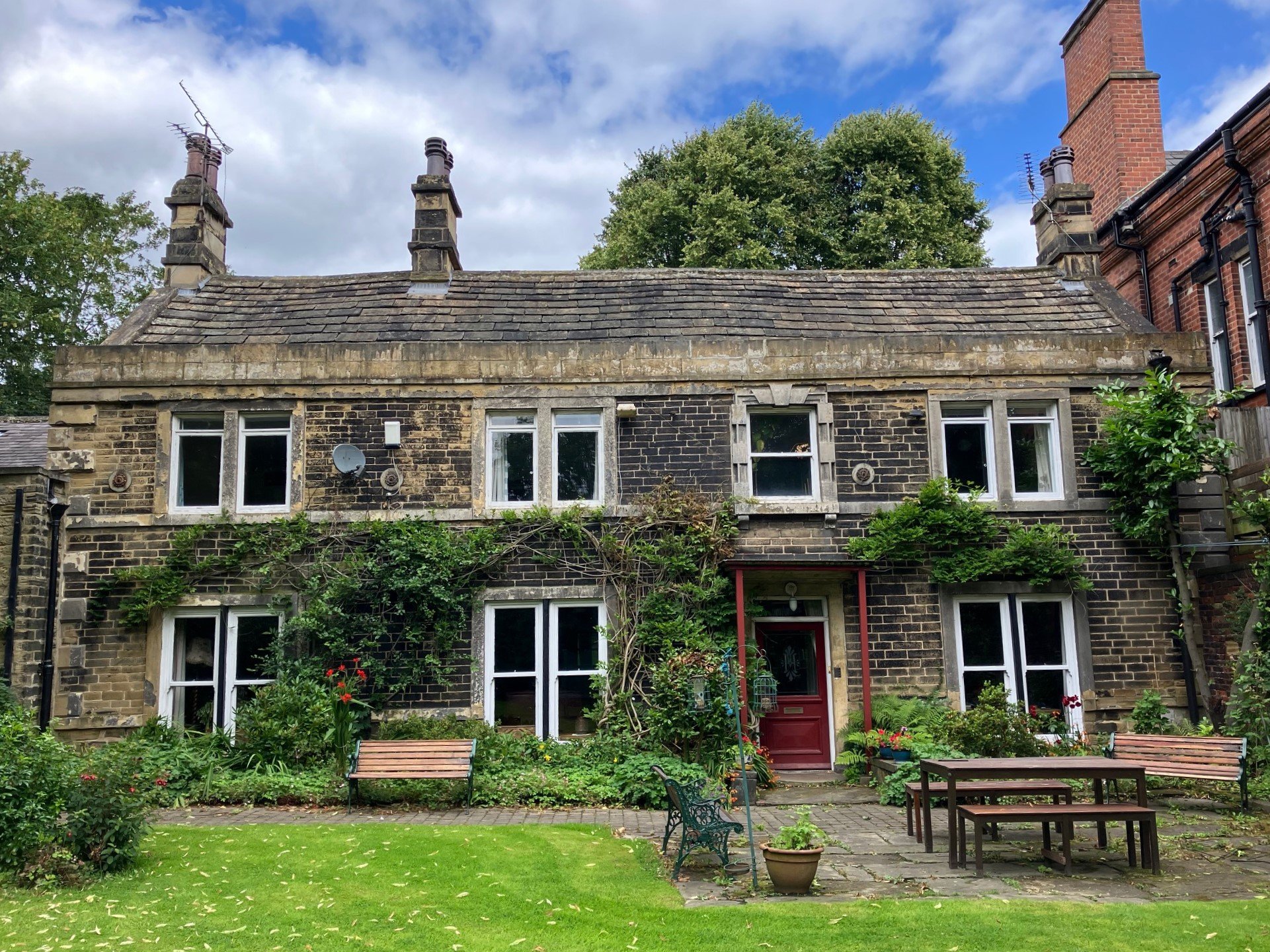
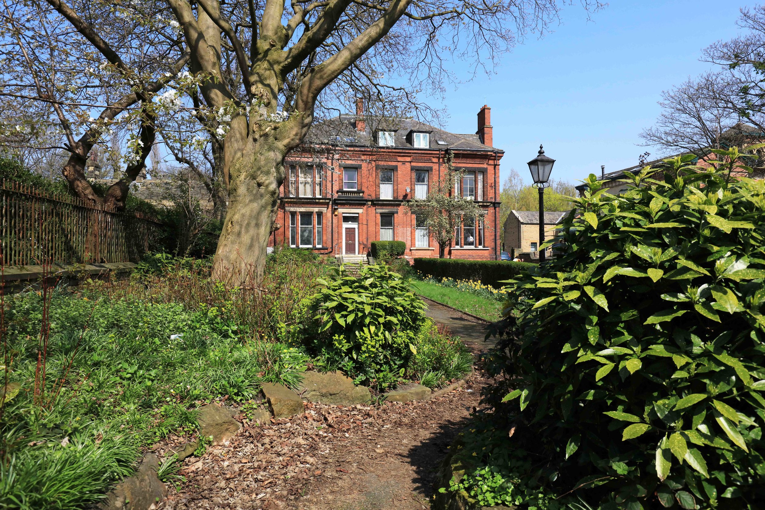
Hyde Park
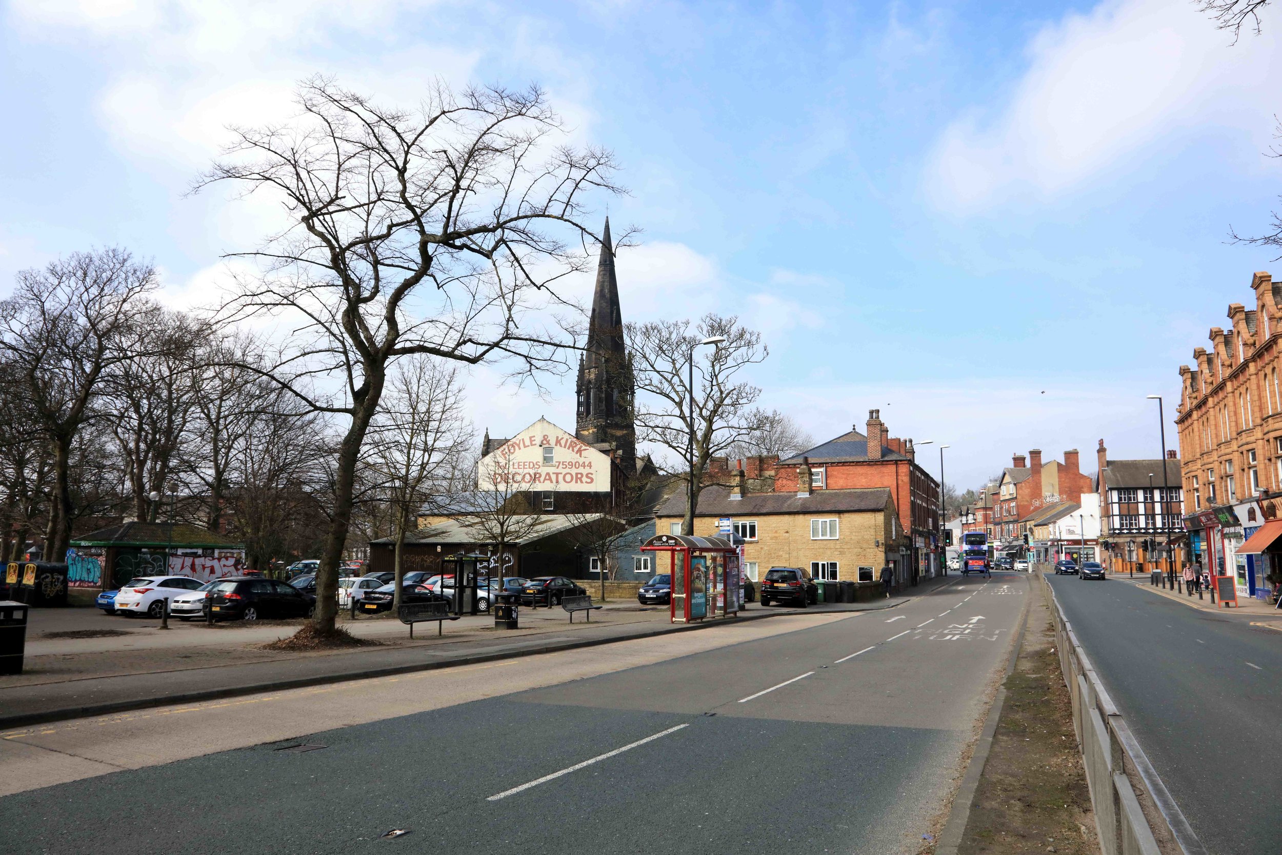
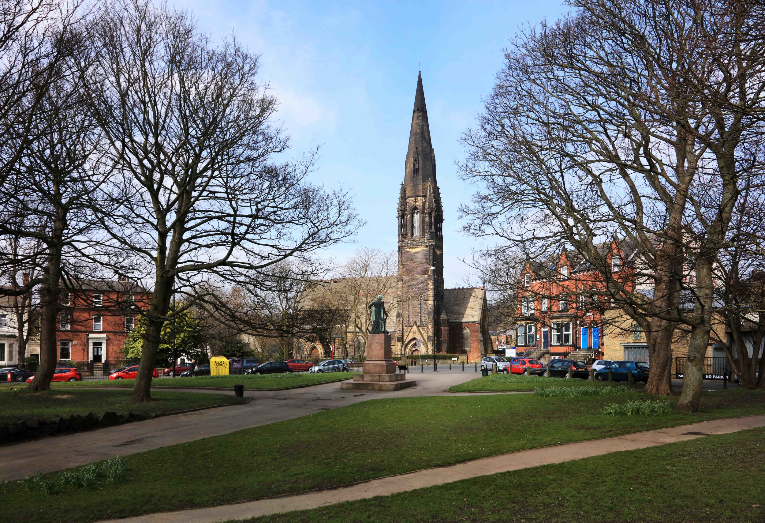
Hyde Park is centred on the cross-roads at Hyde Park Corner, where Woodhouse Lane/Headingley Lane and Woodhouse Street/Hyde Park Road meet. It extends to the north to the edge of Woodhouse Ridge, and to the south along the edge of Woodhouse Moor. See the downloadable map on the Home page.
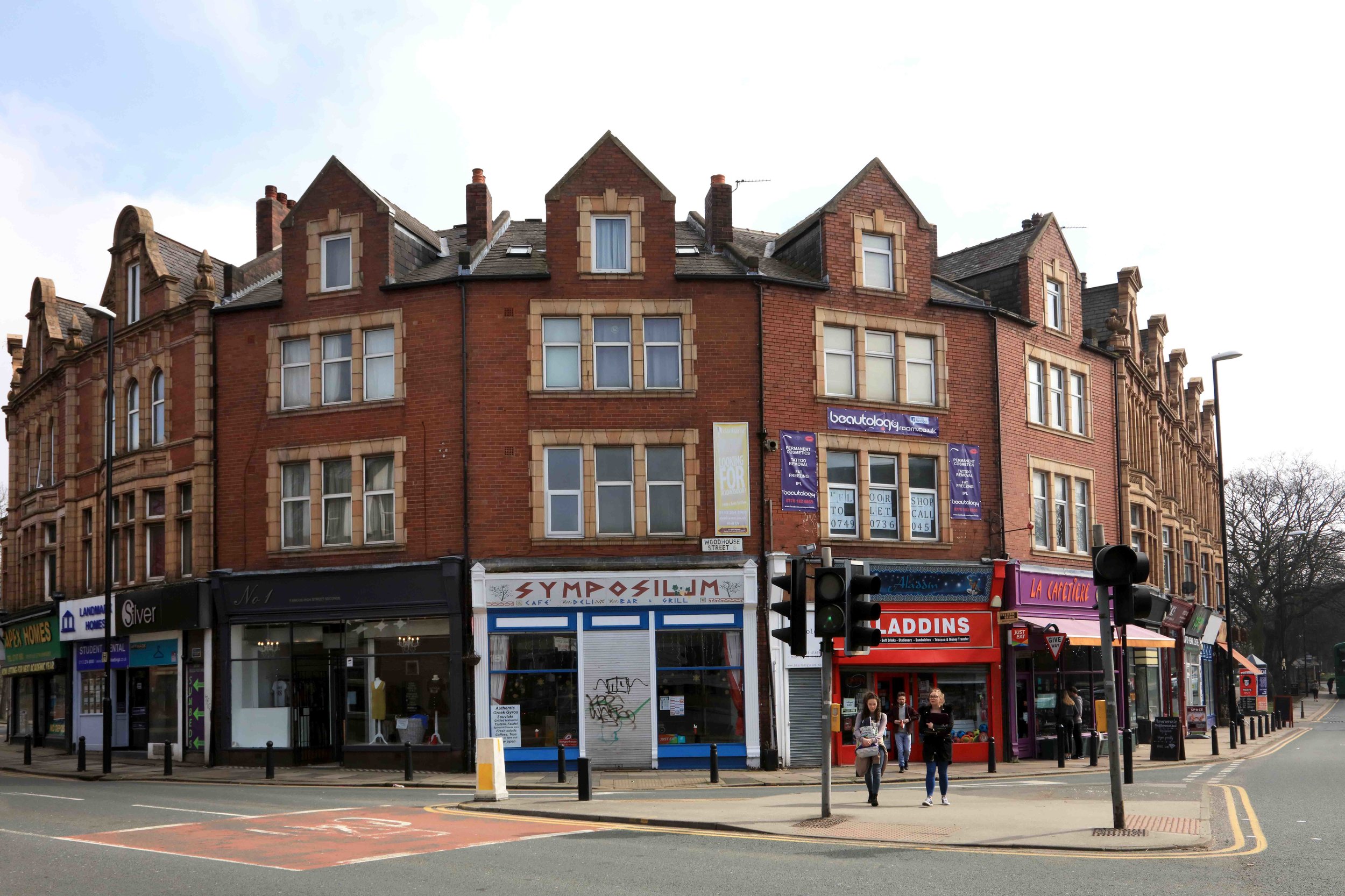
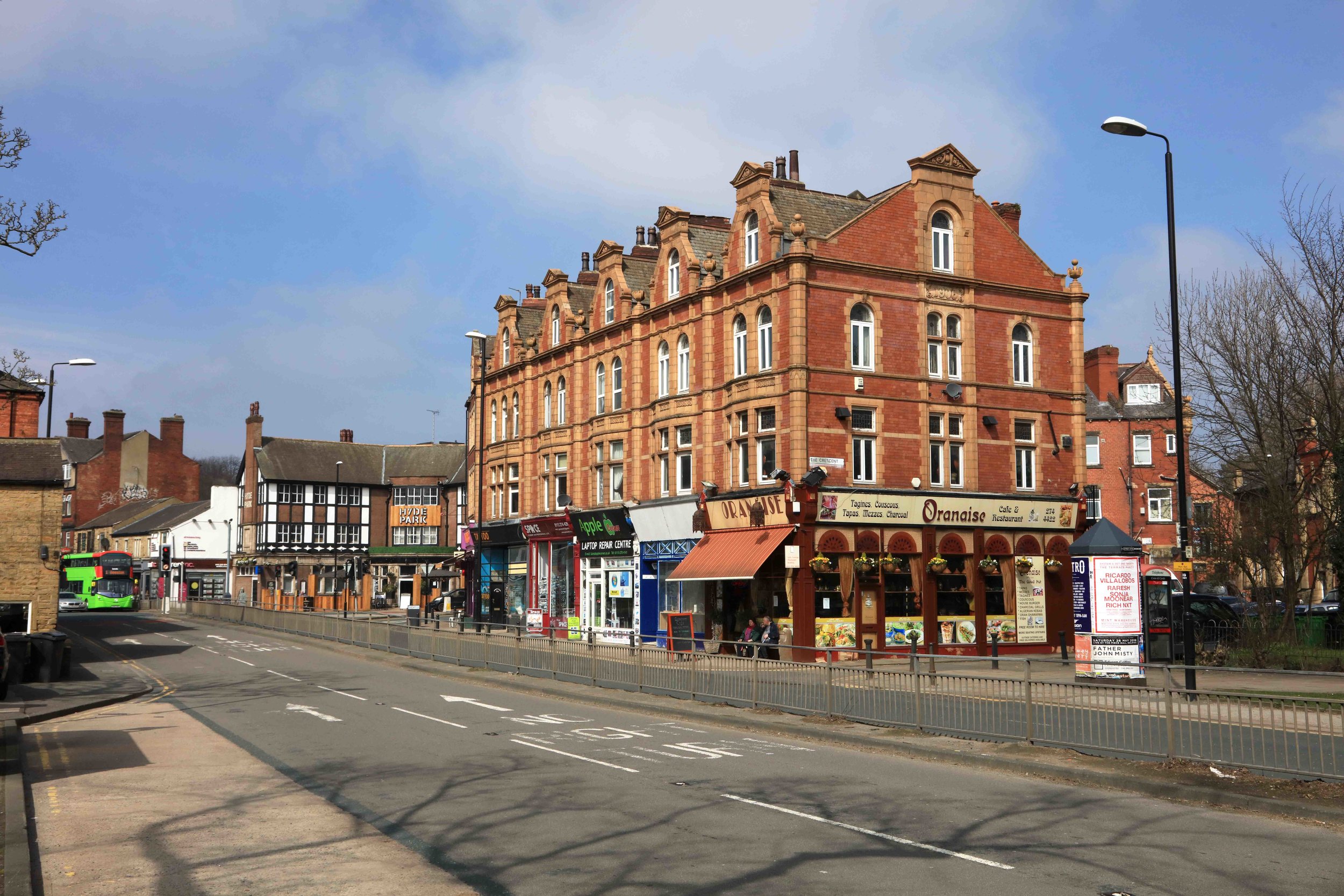
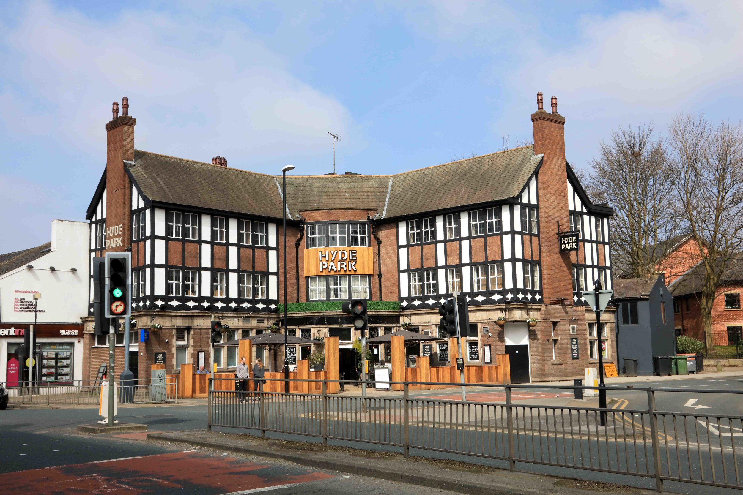
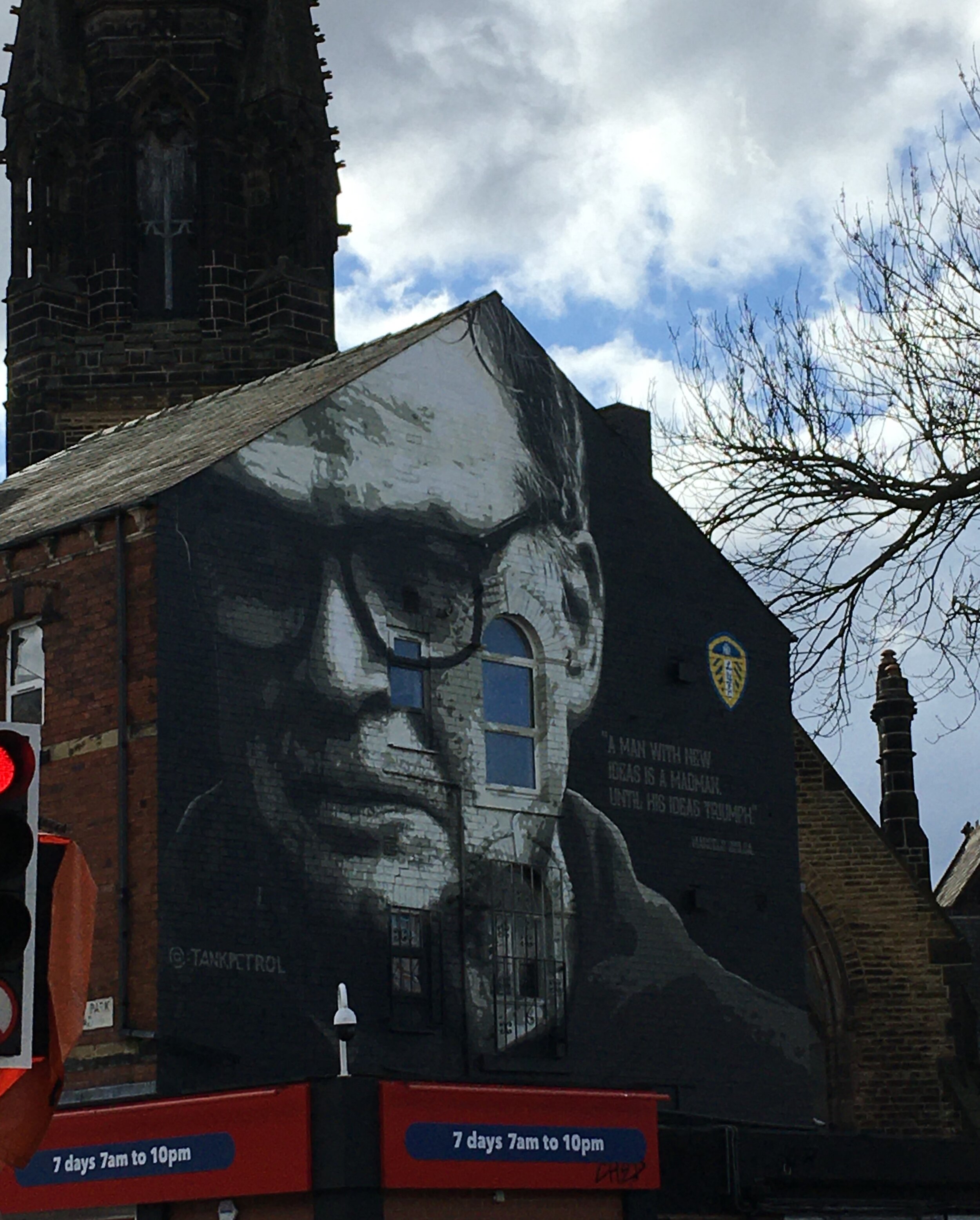
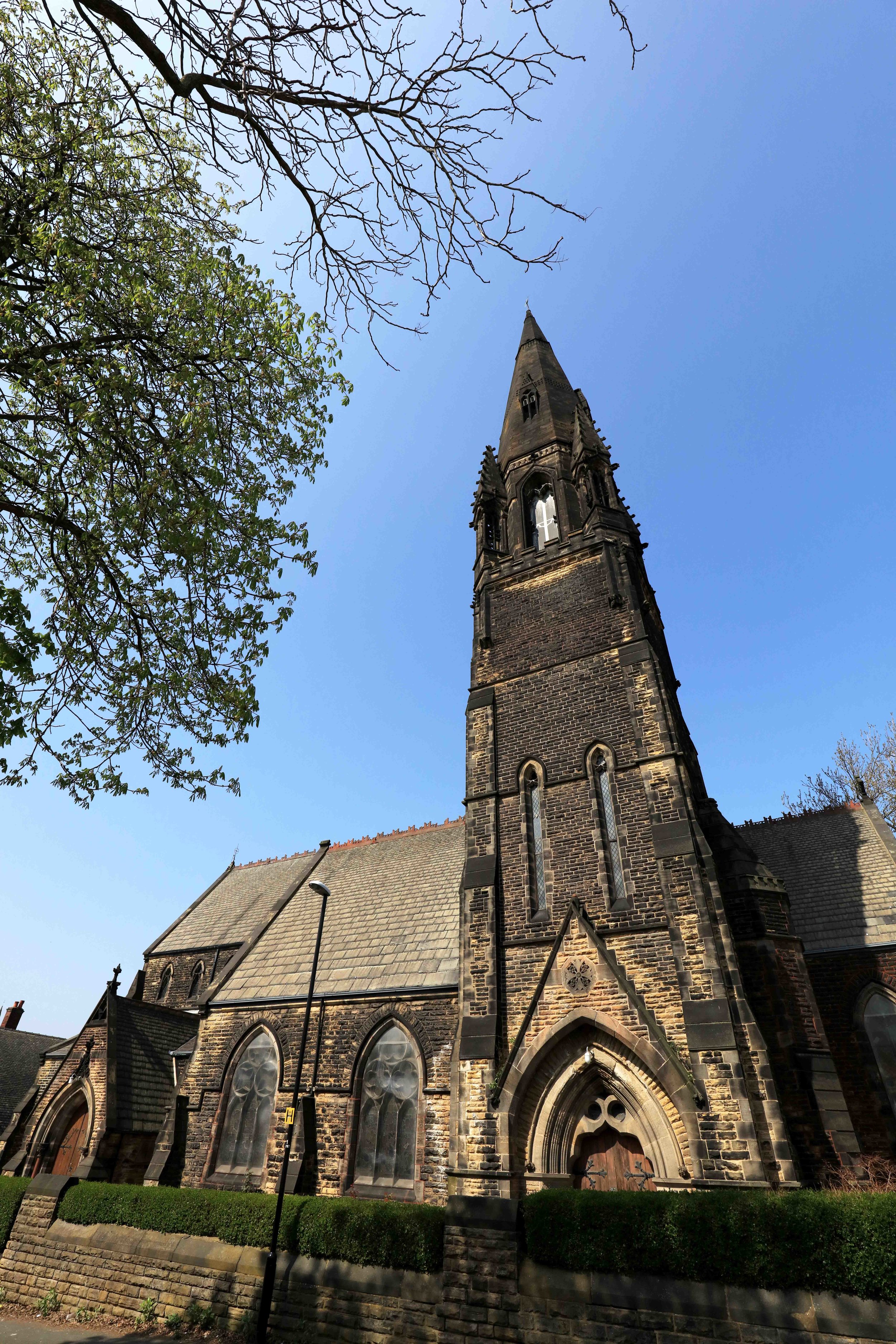
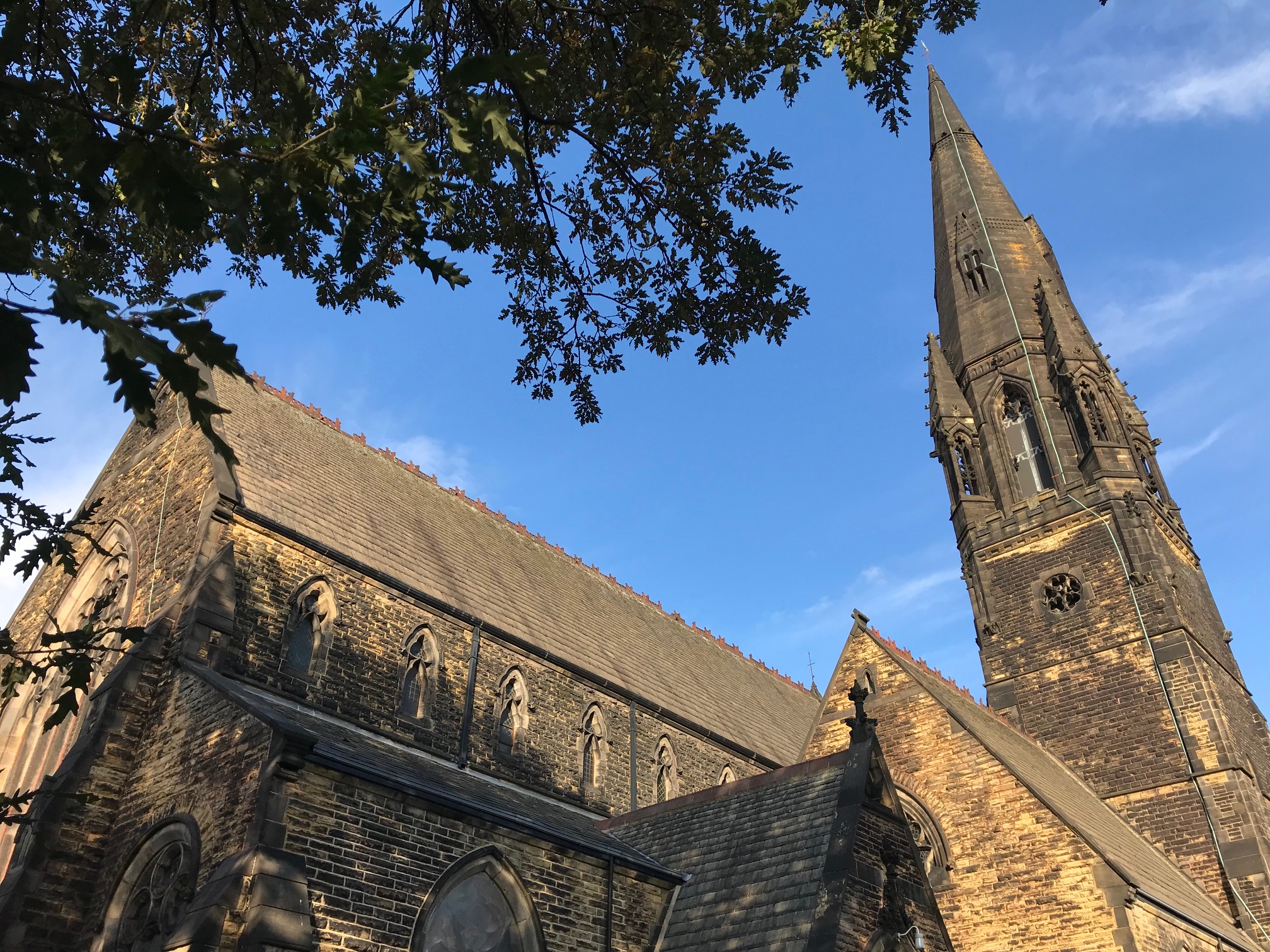
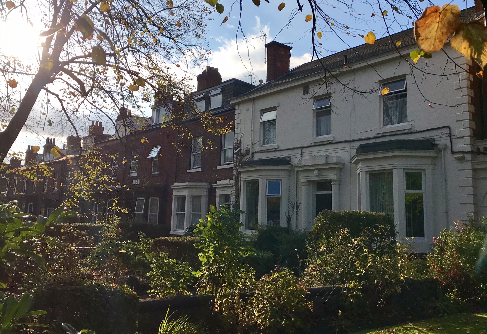
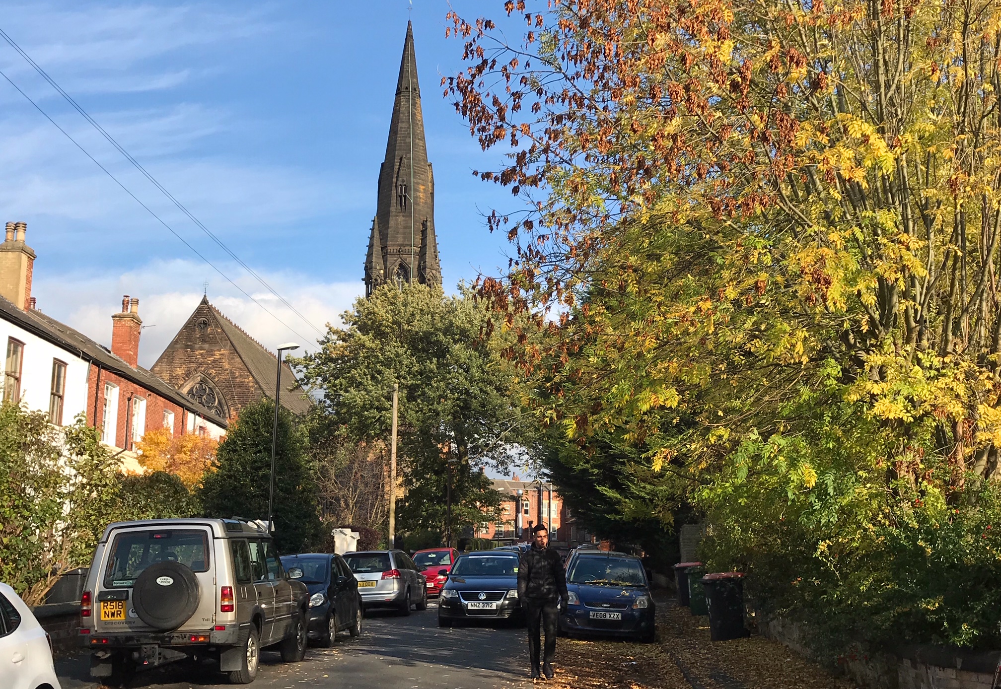
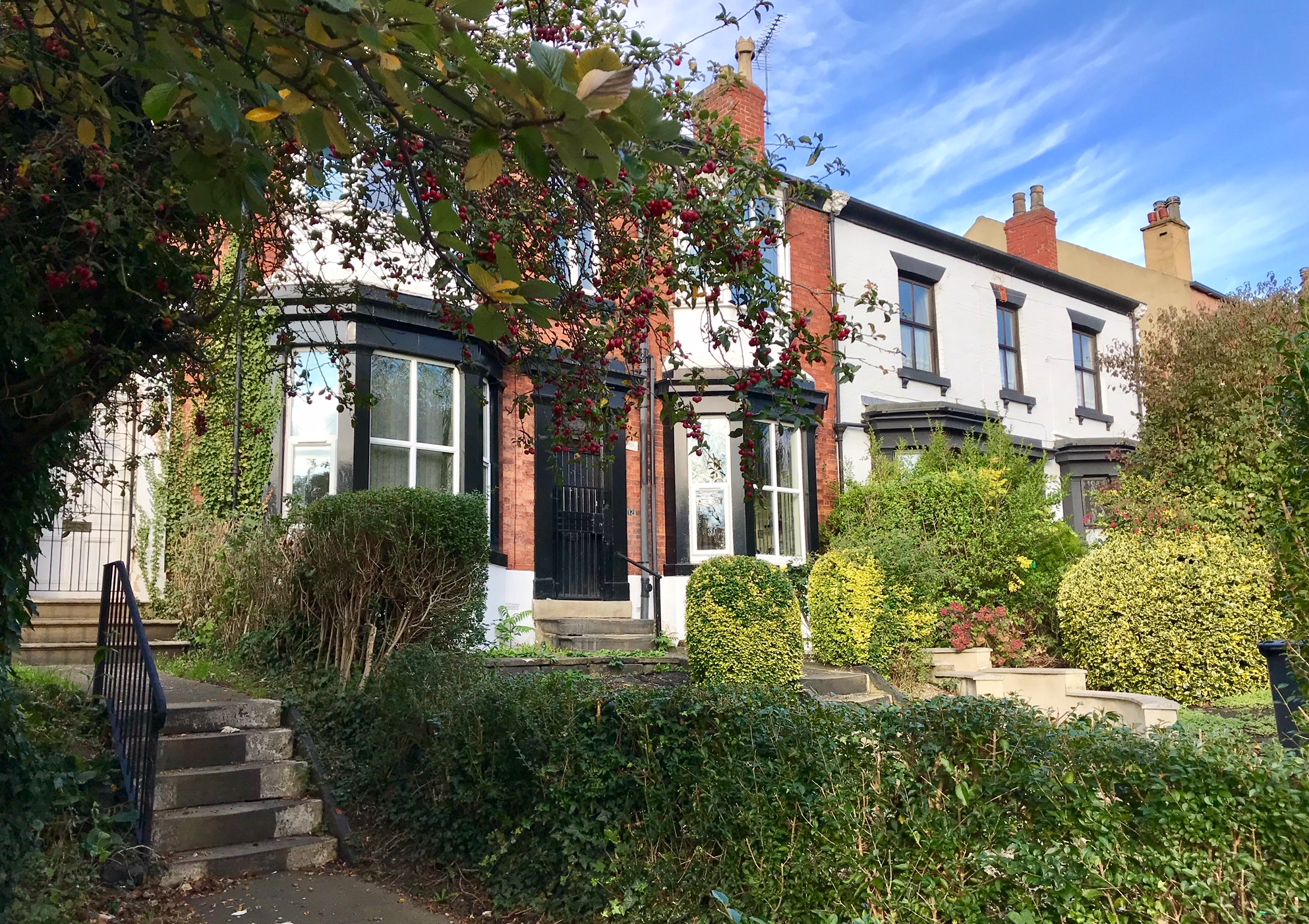
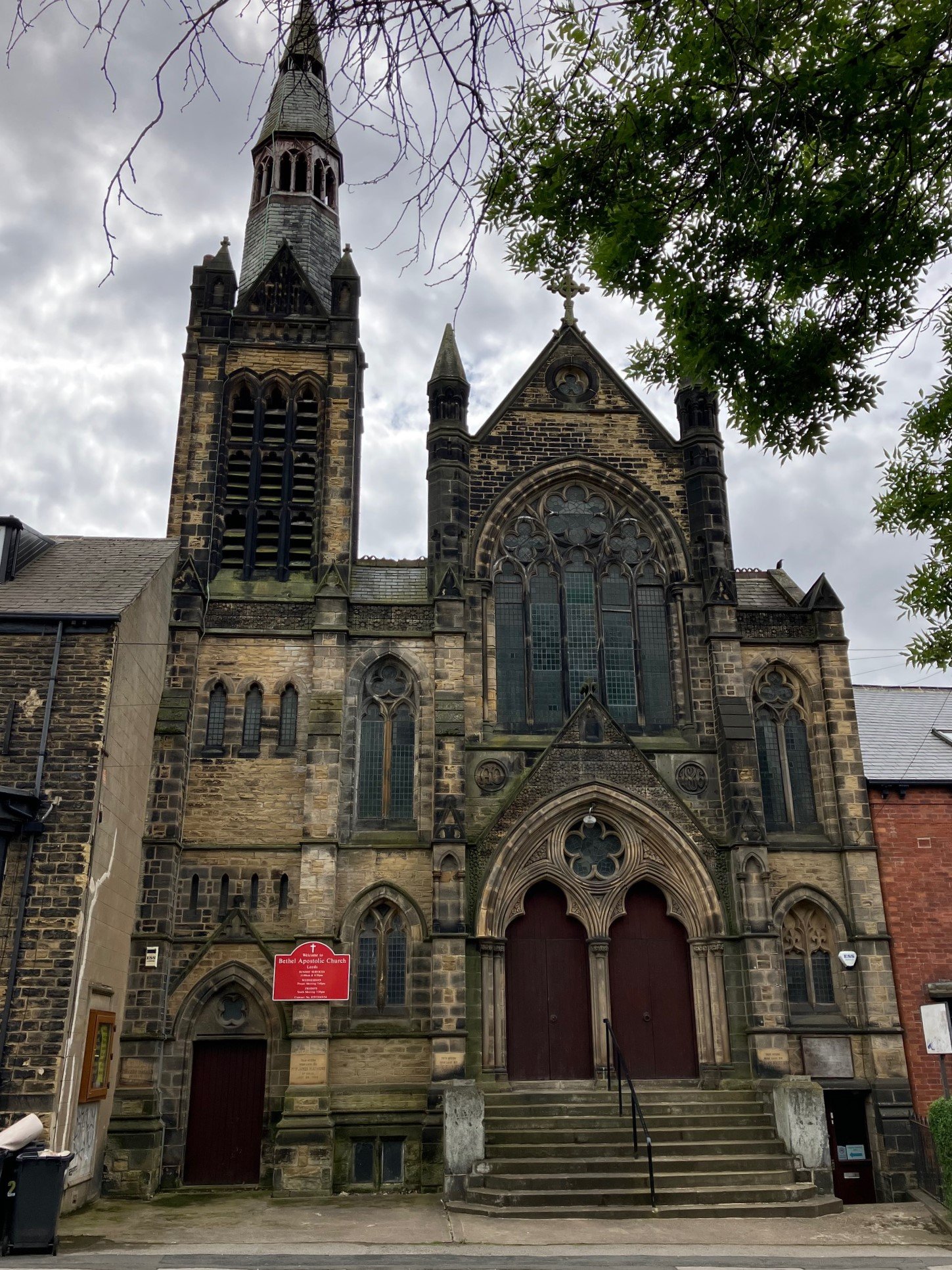
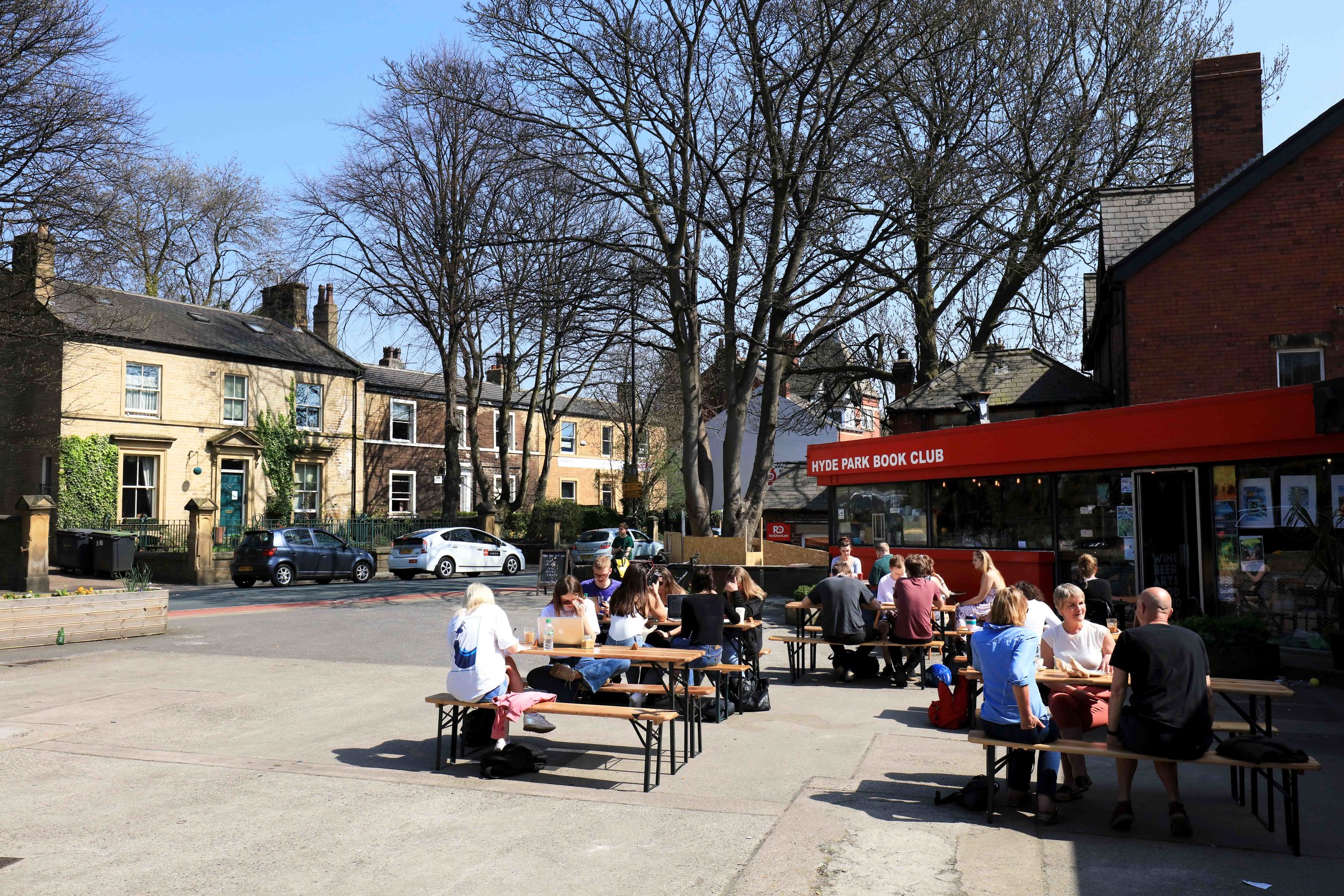
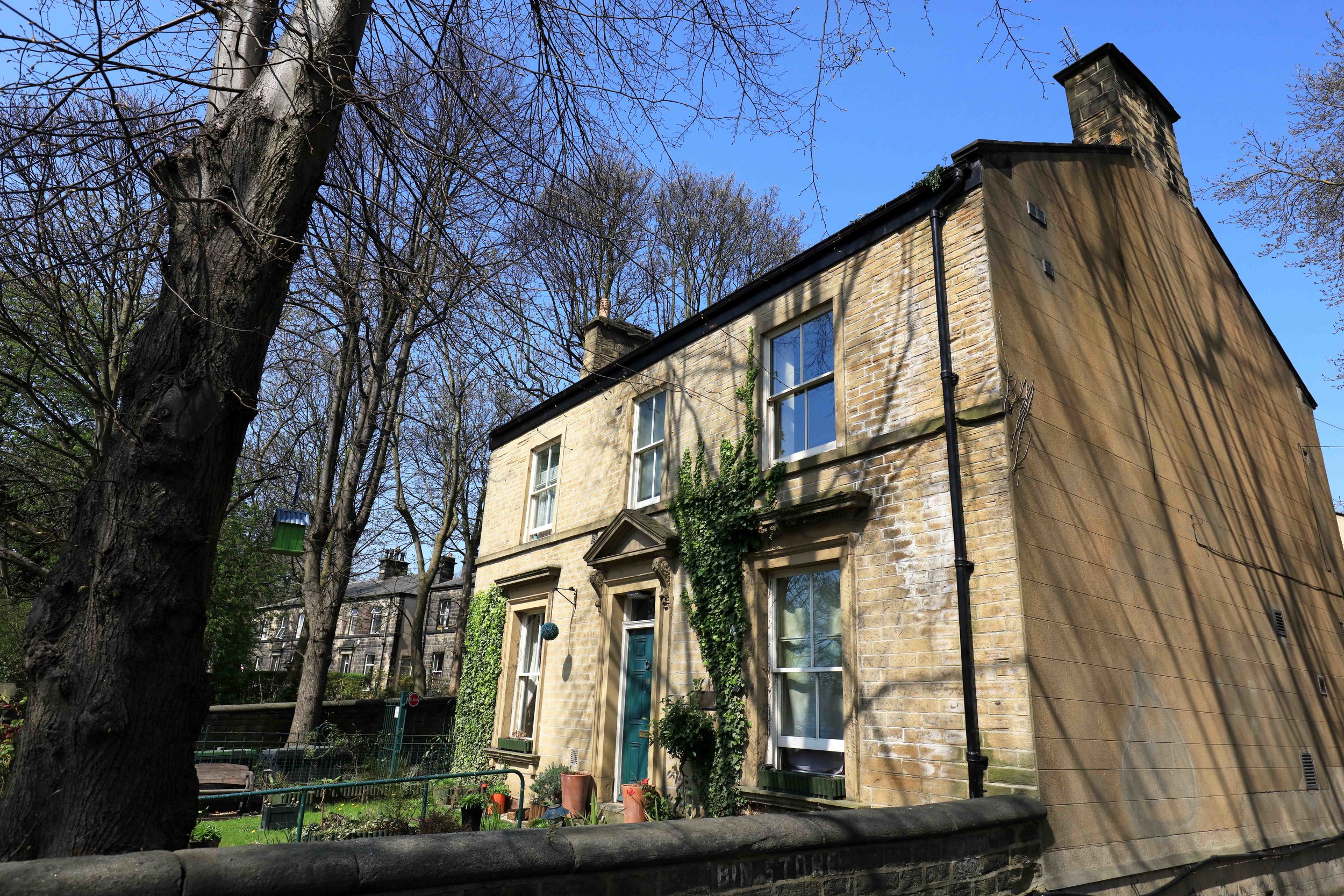
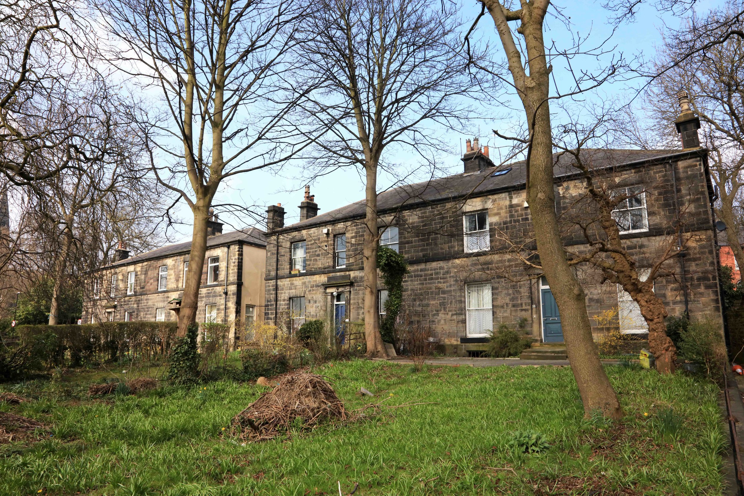
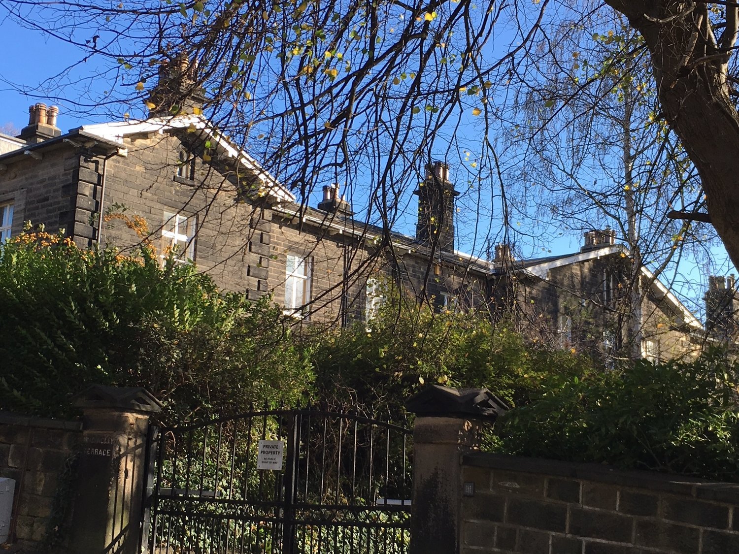
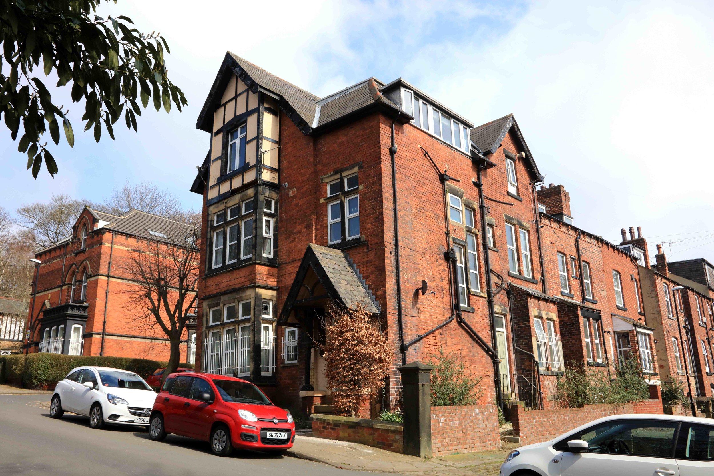
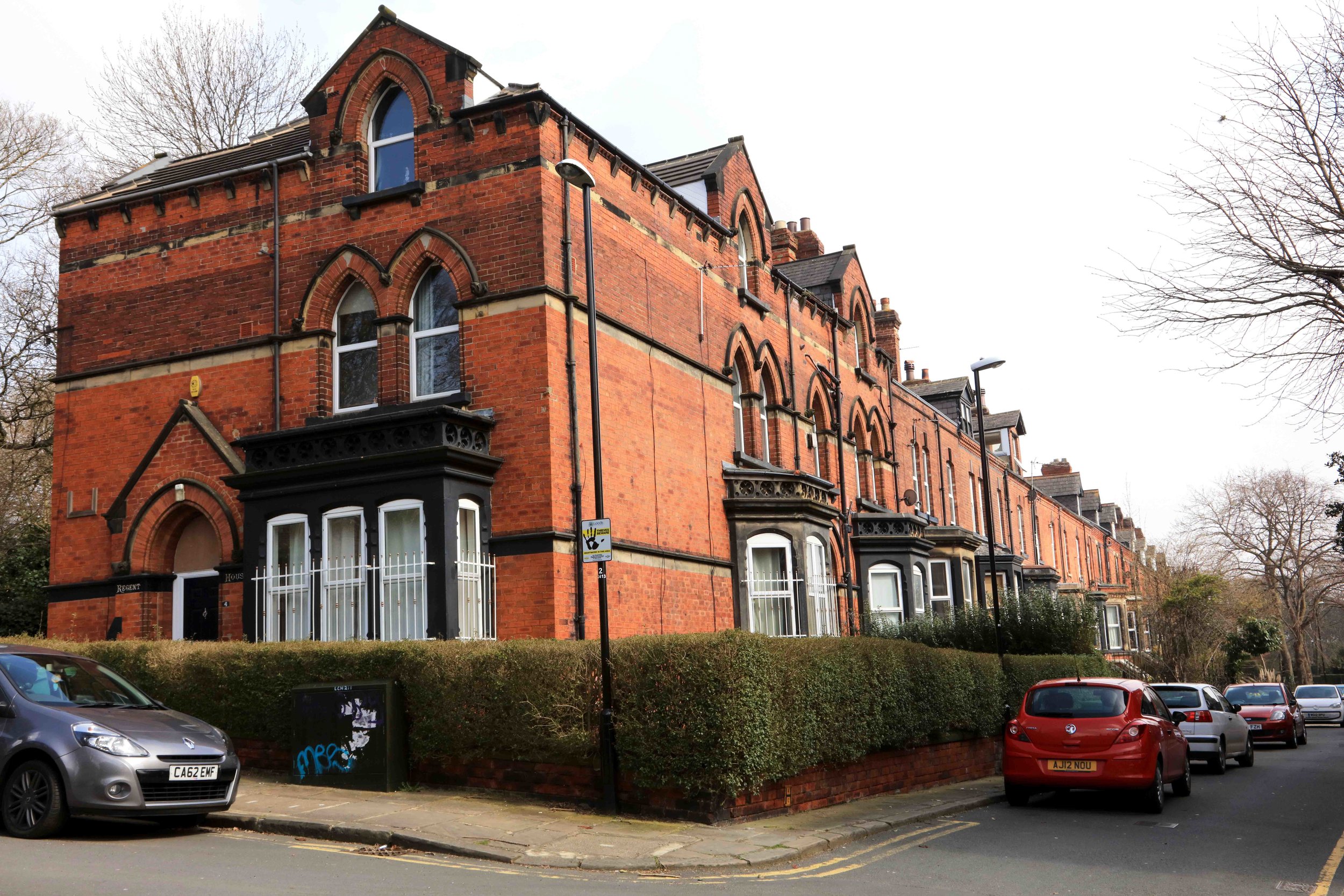
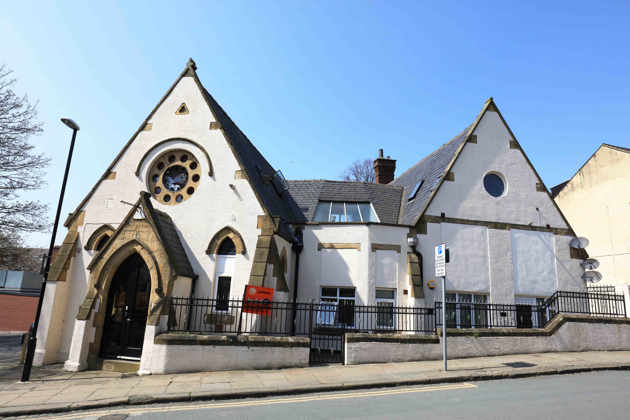
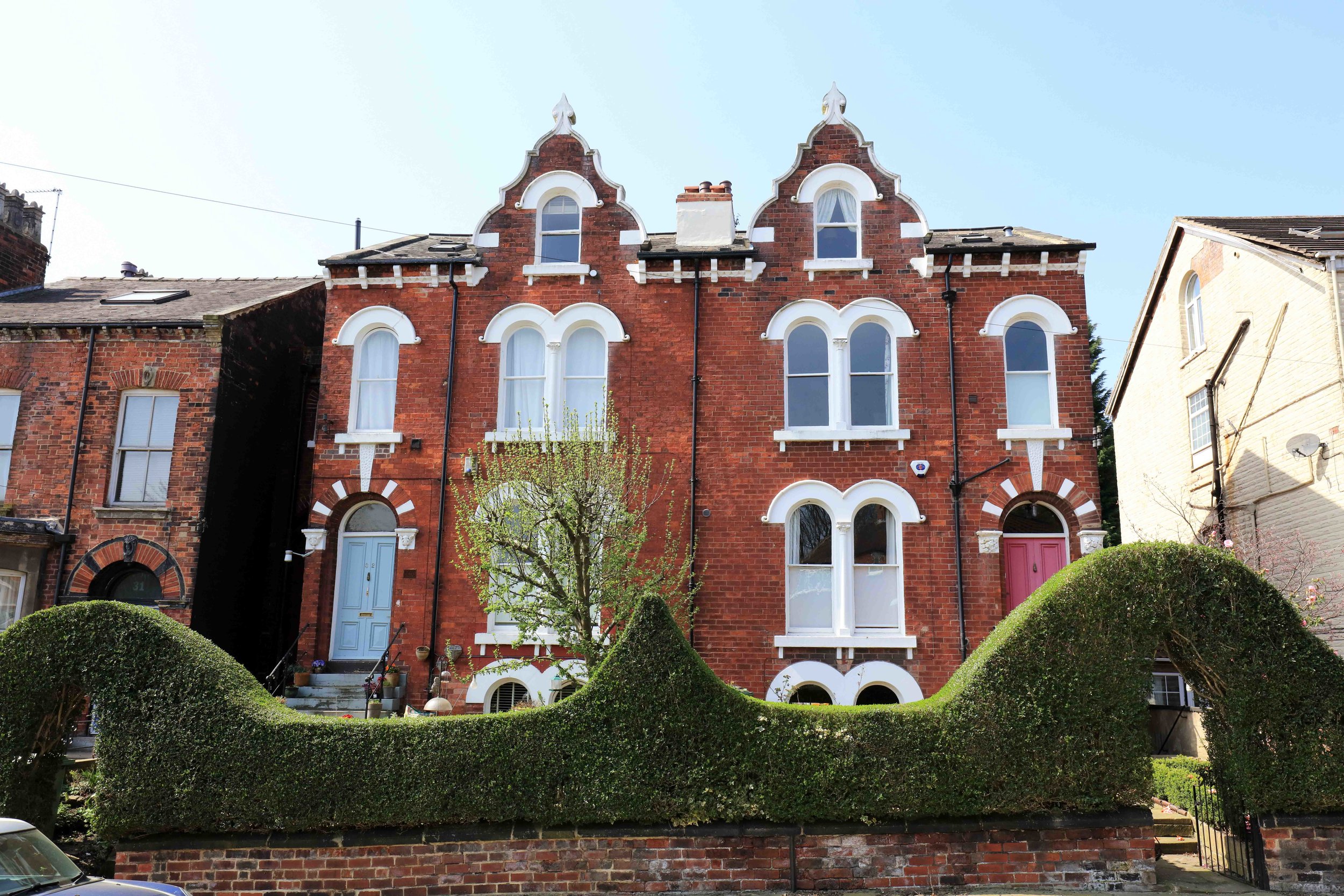
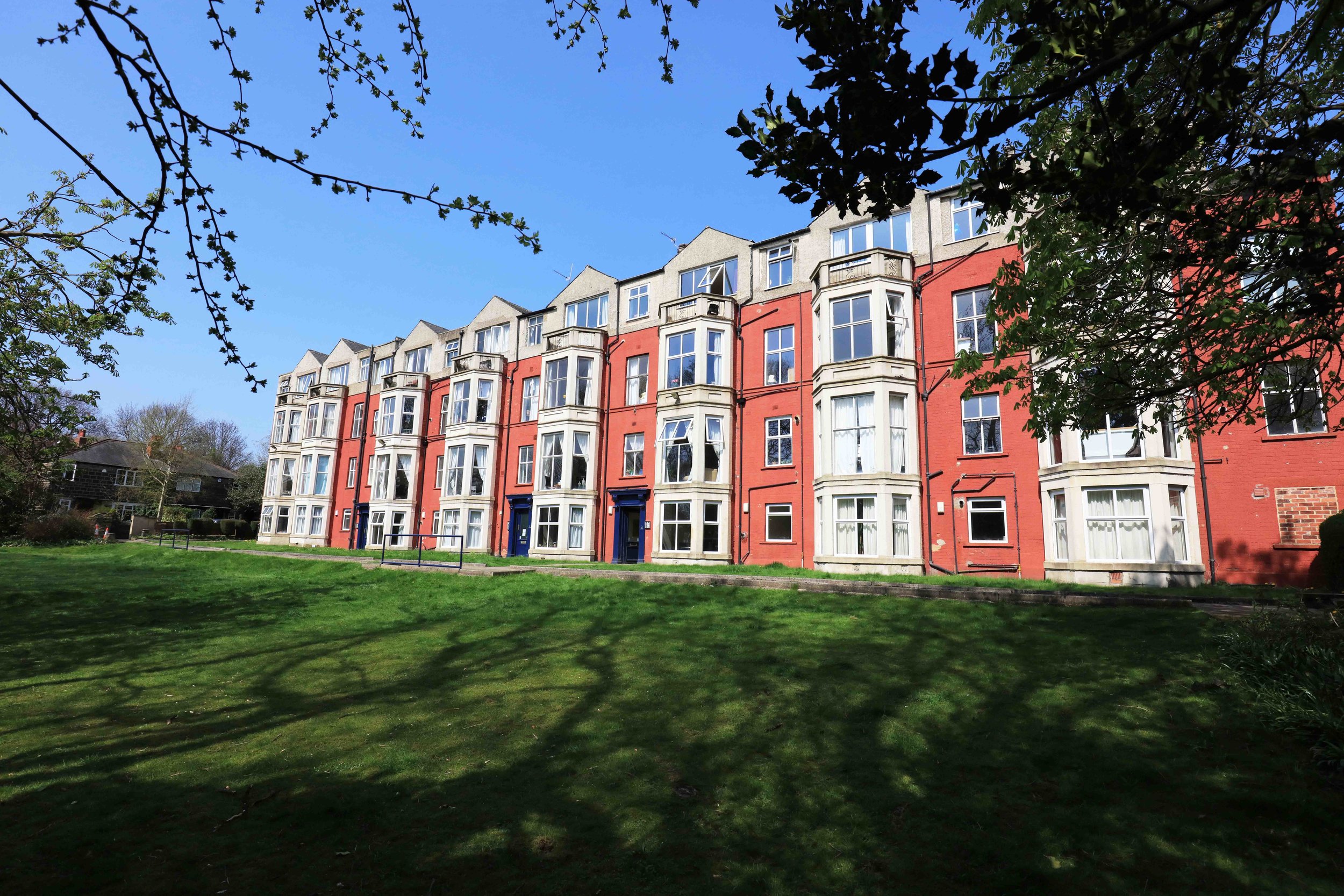
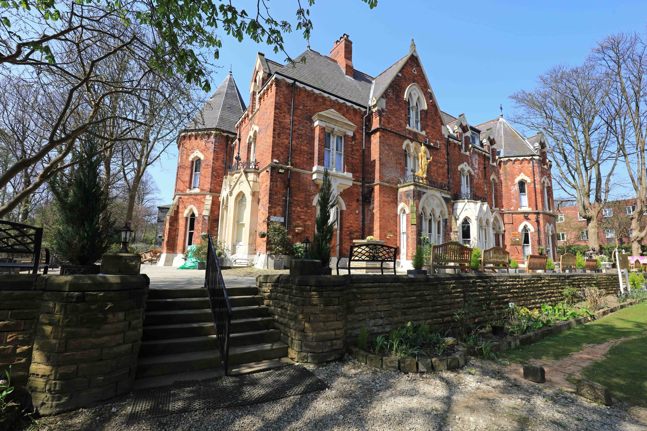
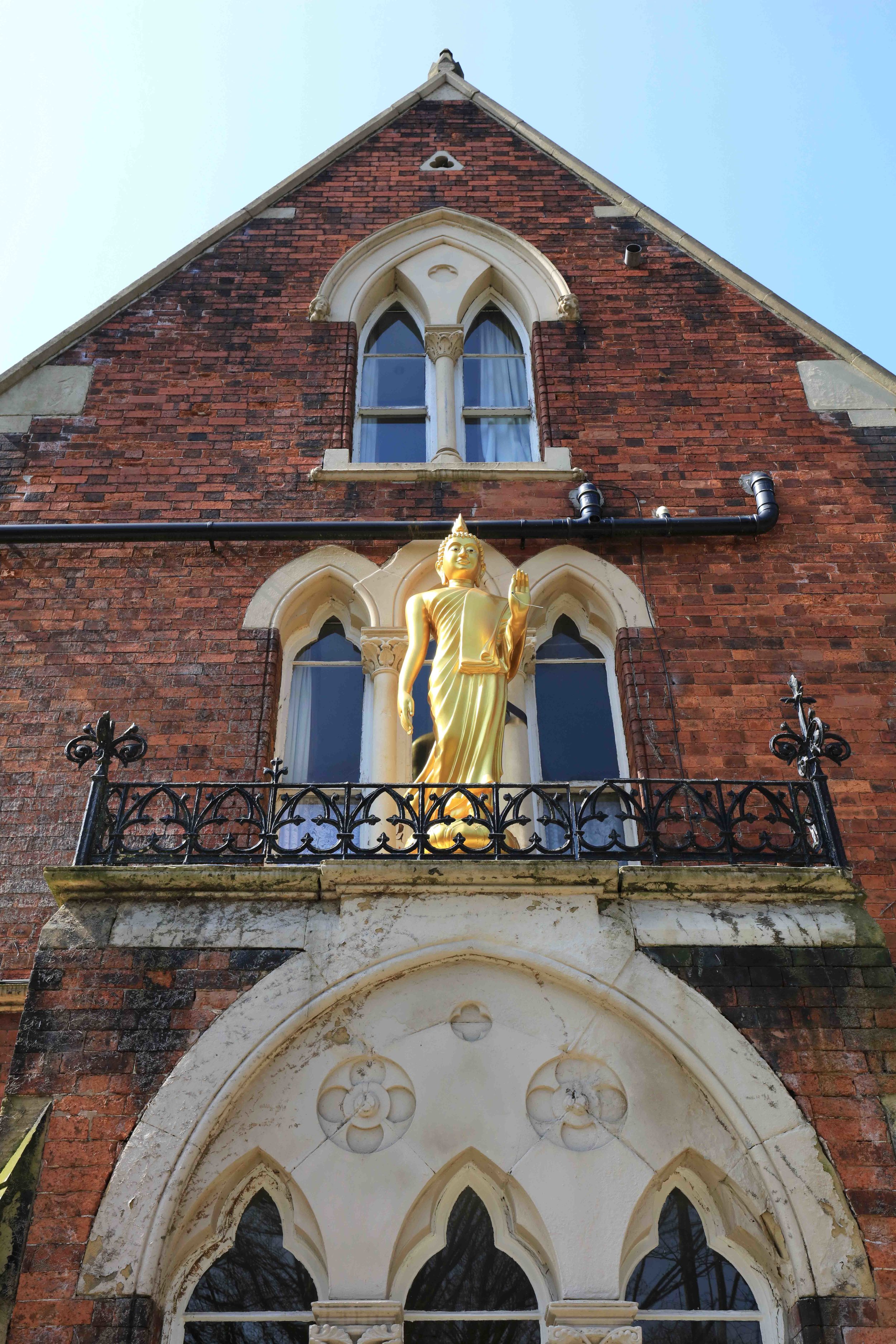
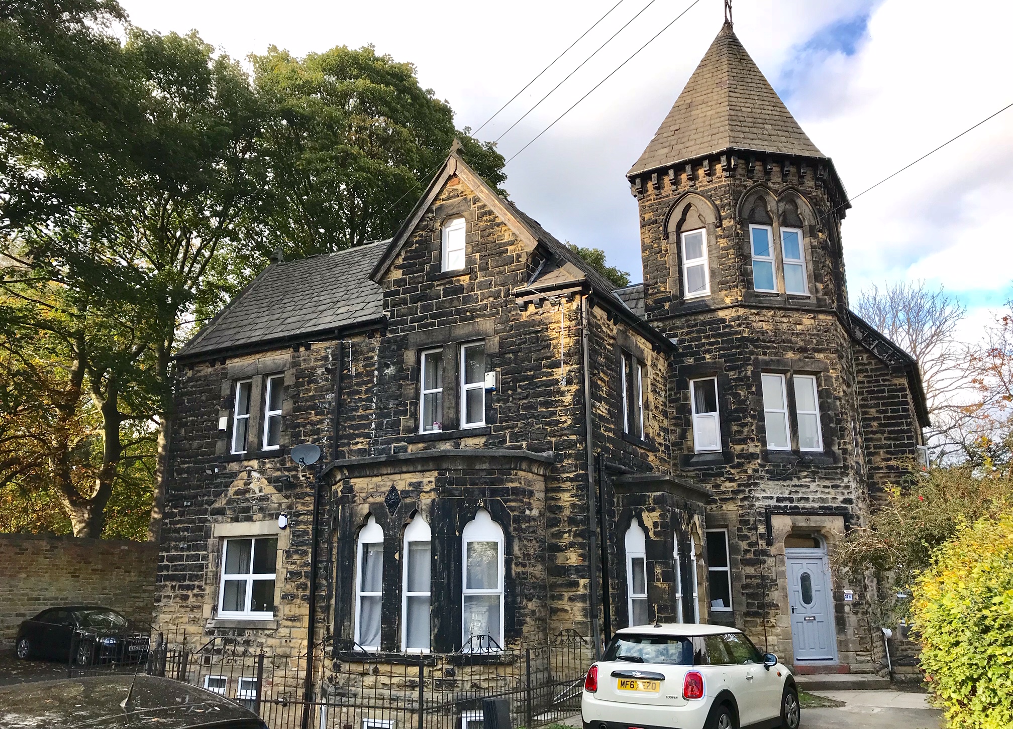
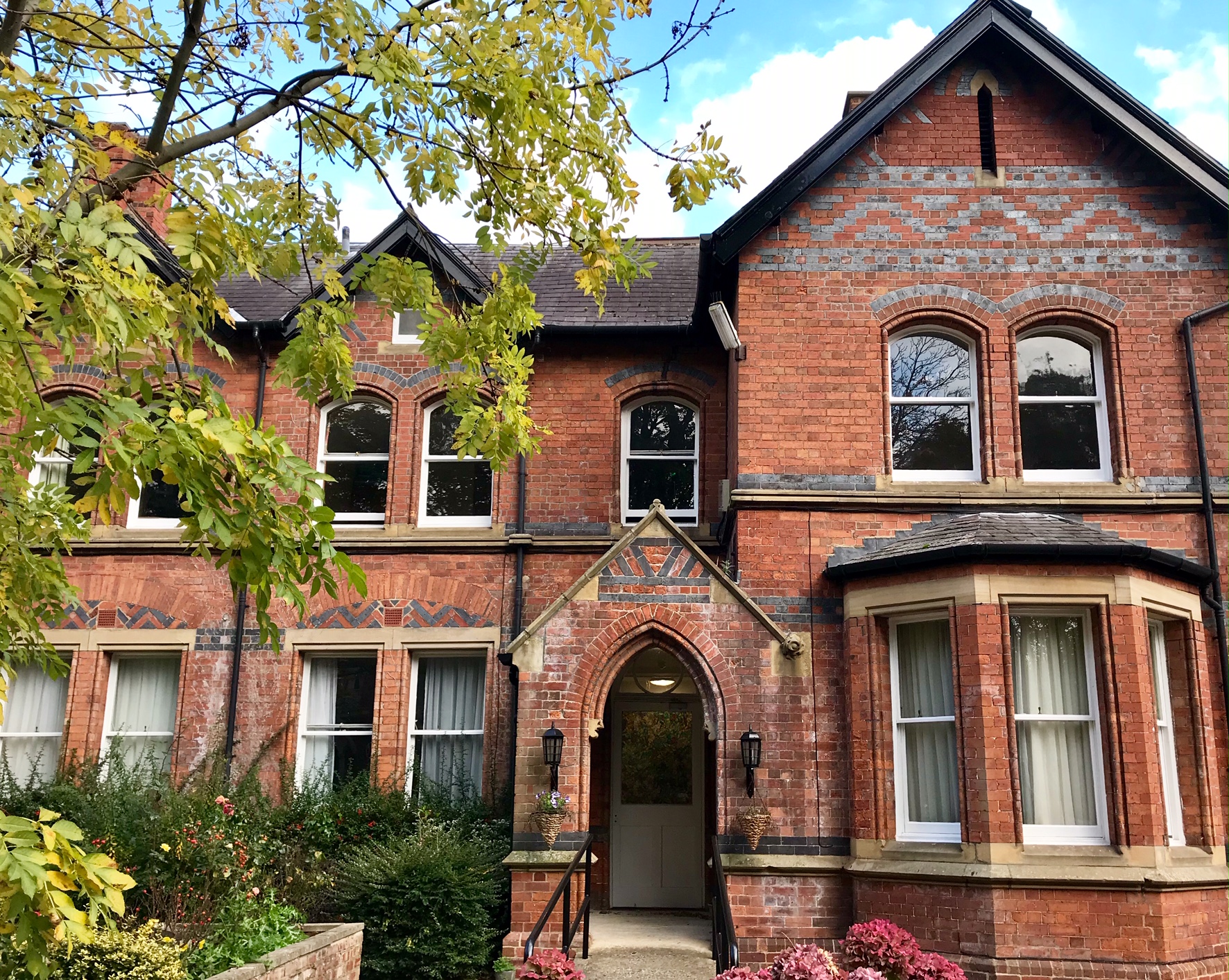
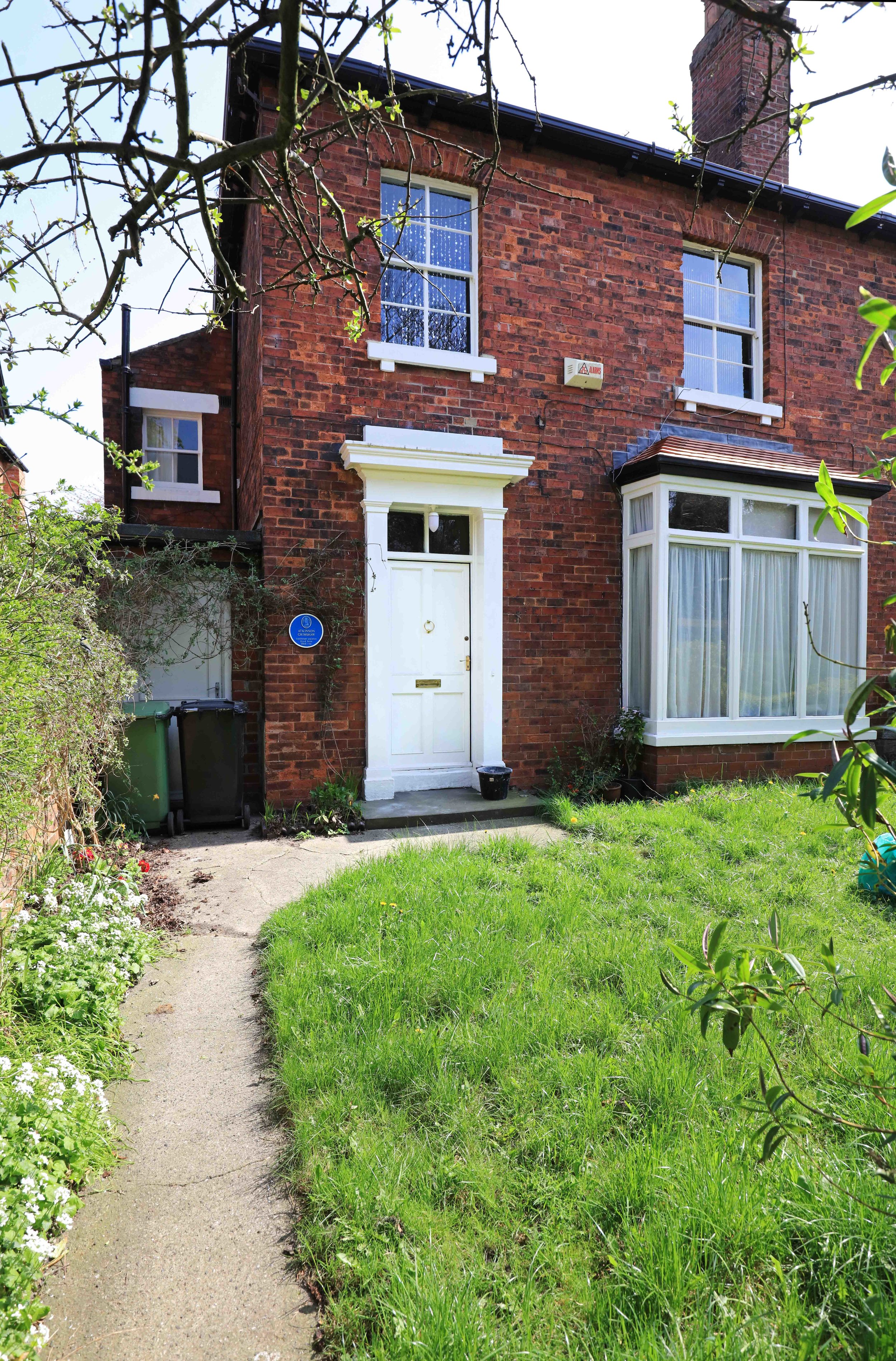
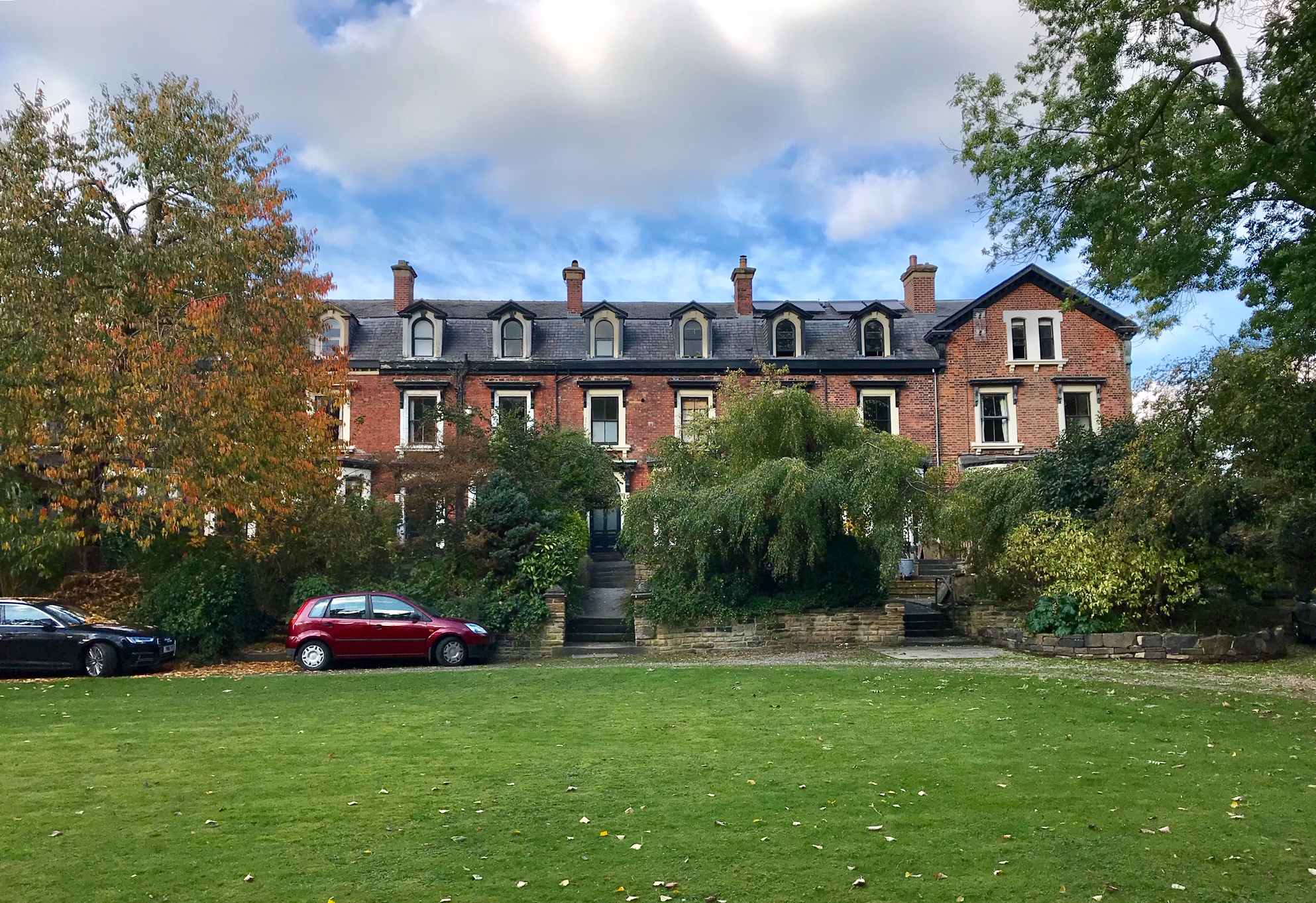
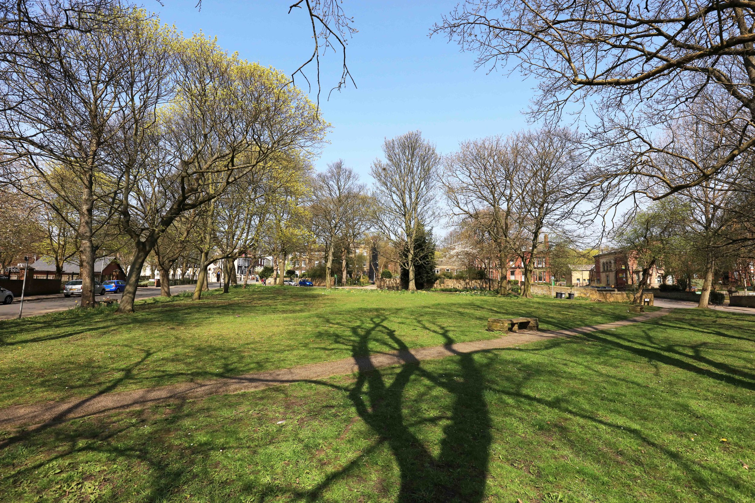
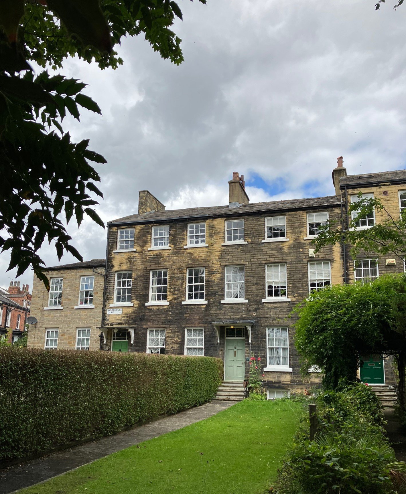
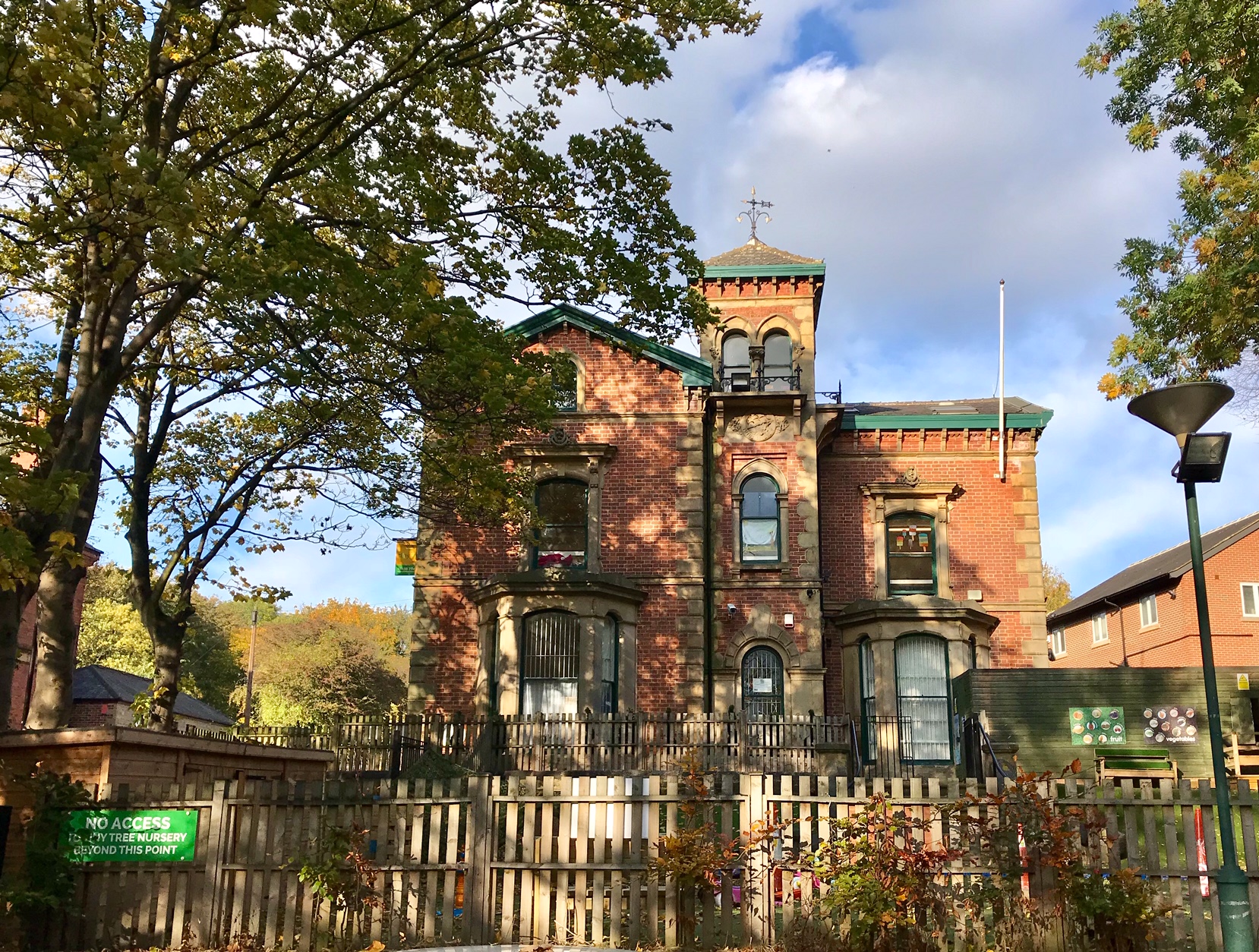
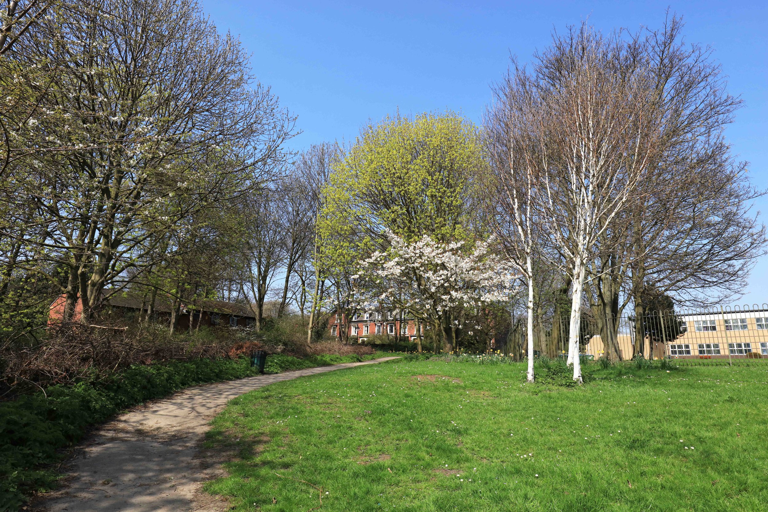
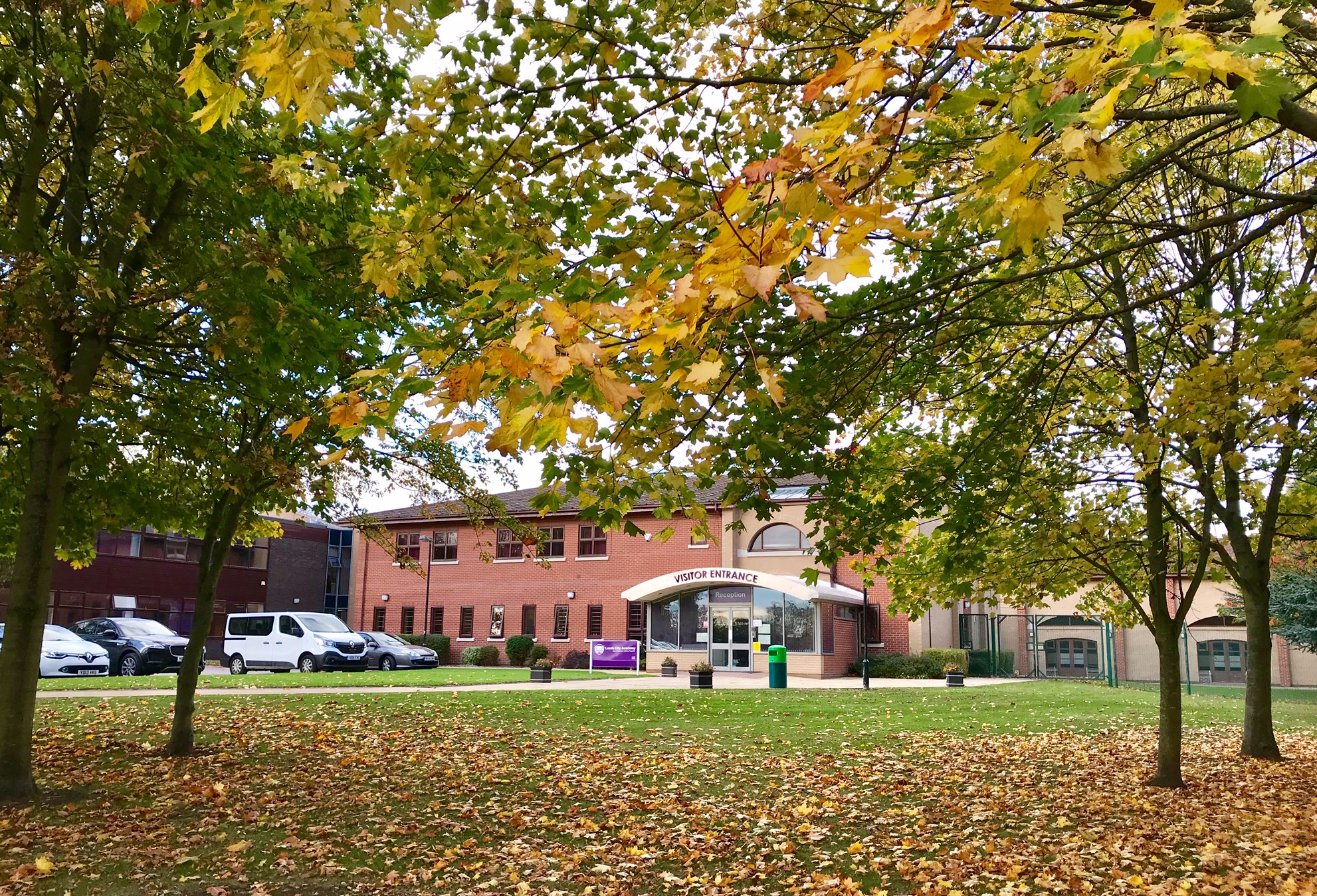
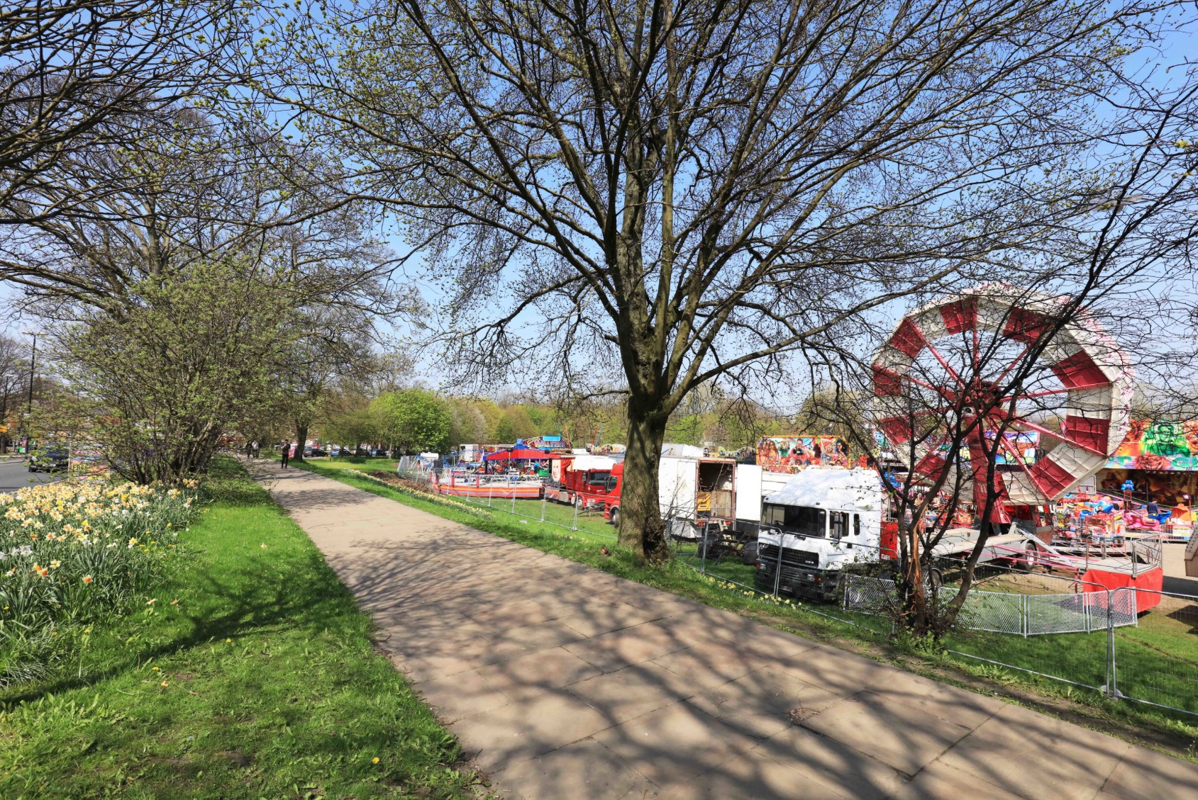
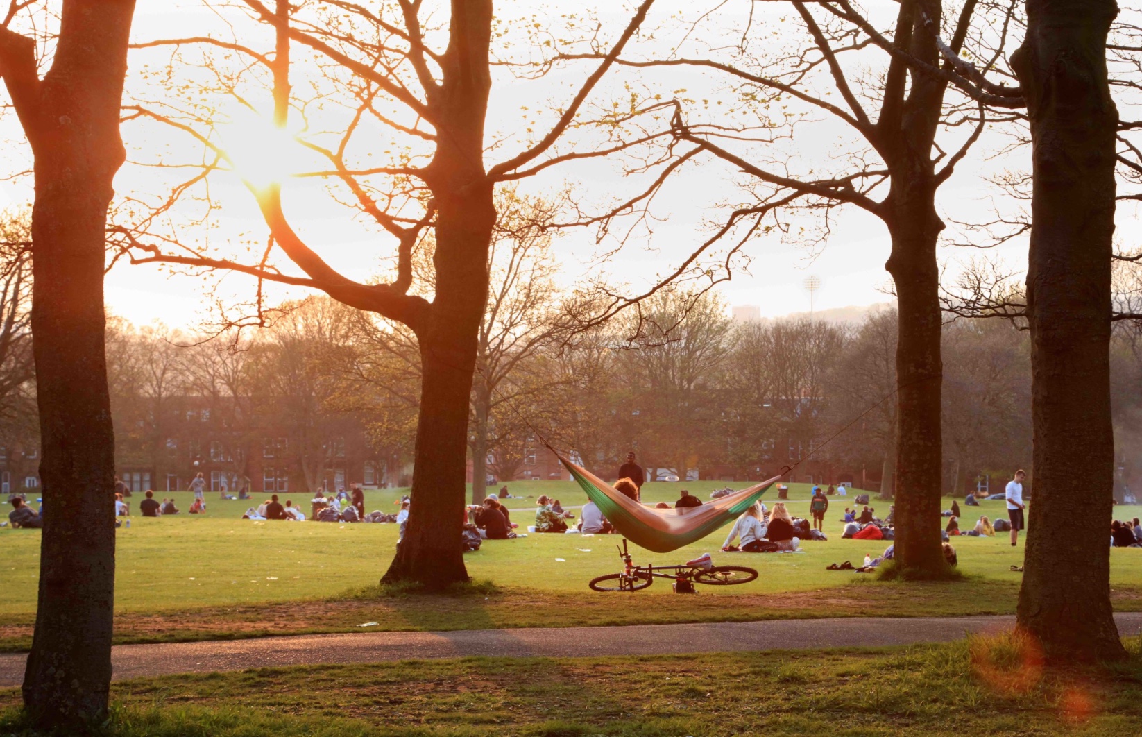
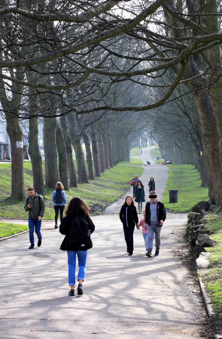
For a brief general description of the area, go to Hyde Park; see also, the Listed Buildings. Hyde Park is home to one of Headingley’s two secondary Schools and a number of Places of Worship. For the shops at Hyde Park Local Centre, go to the Shopping Centres page, it also has a Historic Pub. And it lies beside the local park, Woodhouse Moor. Buses connect to town and to the Dales.
Photographs by kind permission of Jerry Hardman-Jones (JHJ) and Helen Pickering (HP). Photographs are subject to copyright and should not be reproduced without the owner's permission.
For historic photographs of the area, go to Historic Hyde Park. For other neighbourhoods, go to Headingley Now.
Those interested in Hyde Park, from the Corner northwards, may like to join North Hyde Park Neighbourhood Association.
