
Weetwood

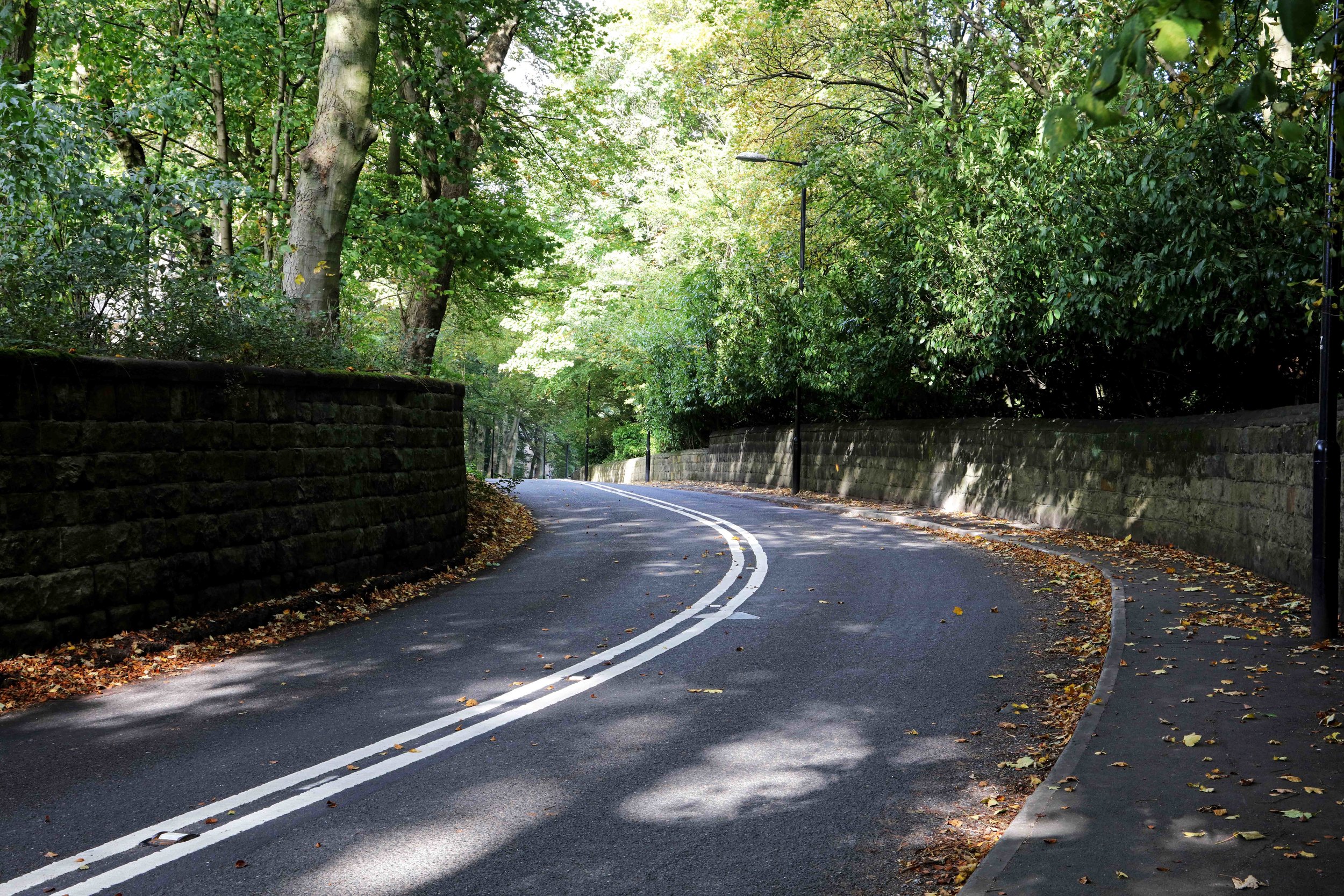
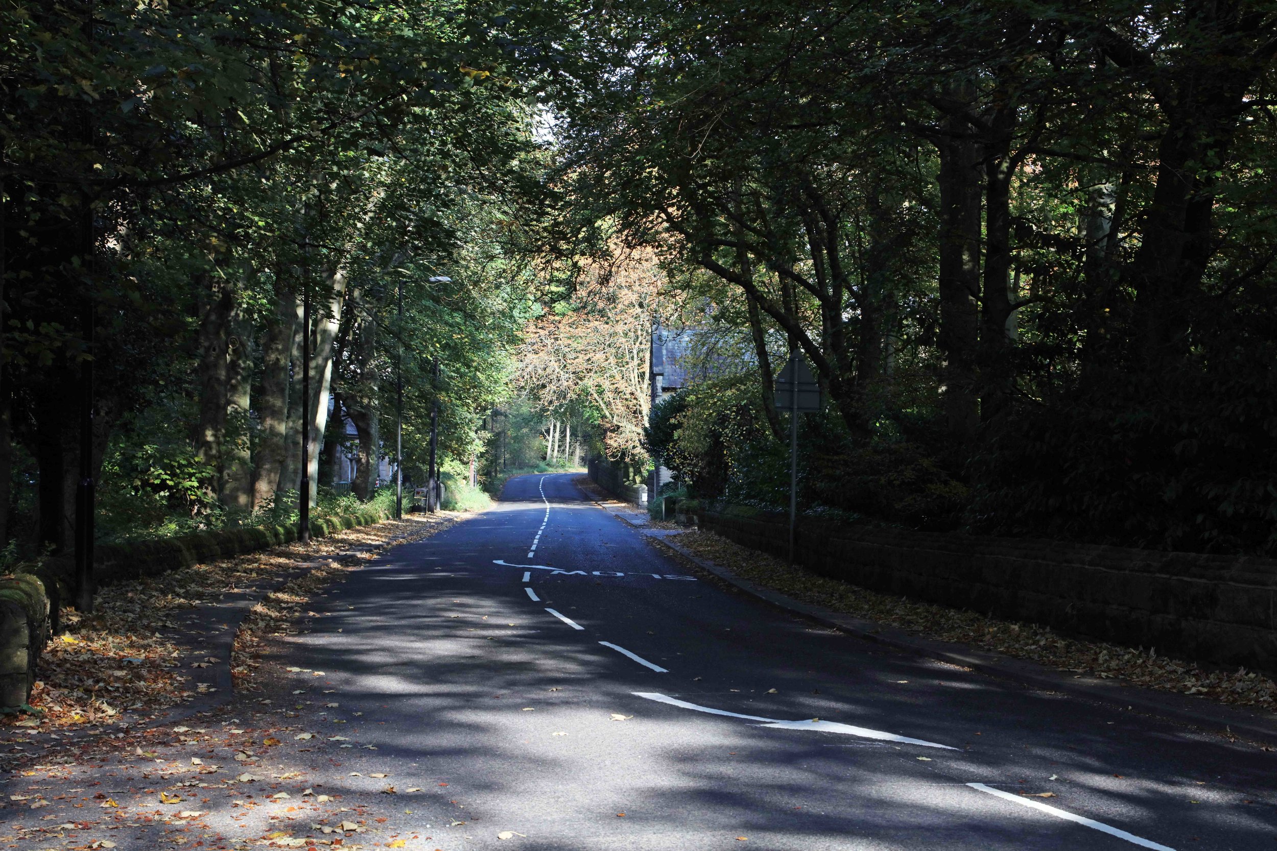

Weetwood lies along either side of Weetwood Lane, broadly between Otley Road and Meanwood Beck, from Far Headingley village up to the Ring Road. See the downloadable map on the Home page.
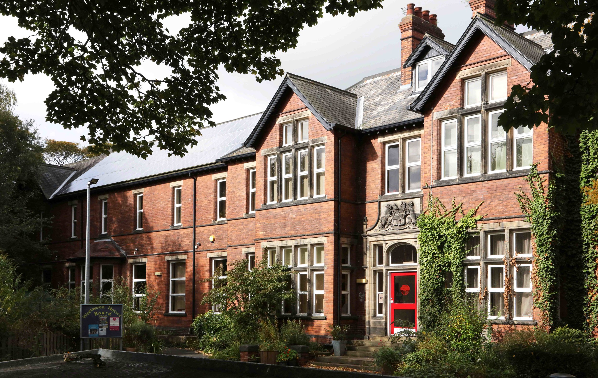
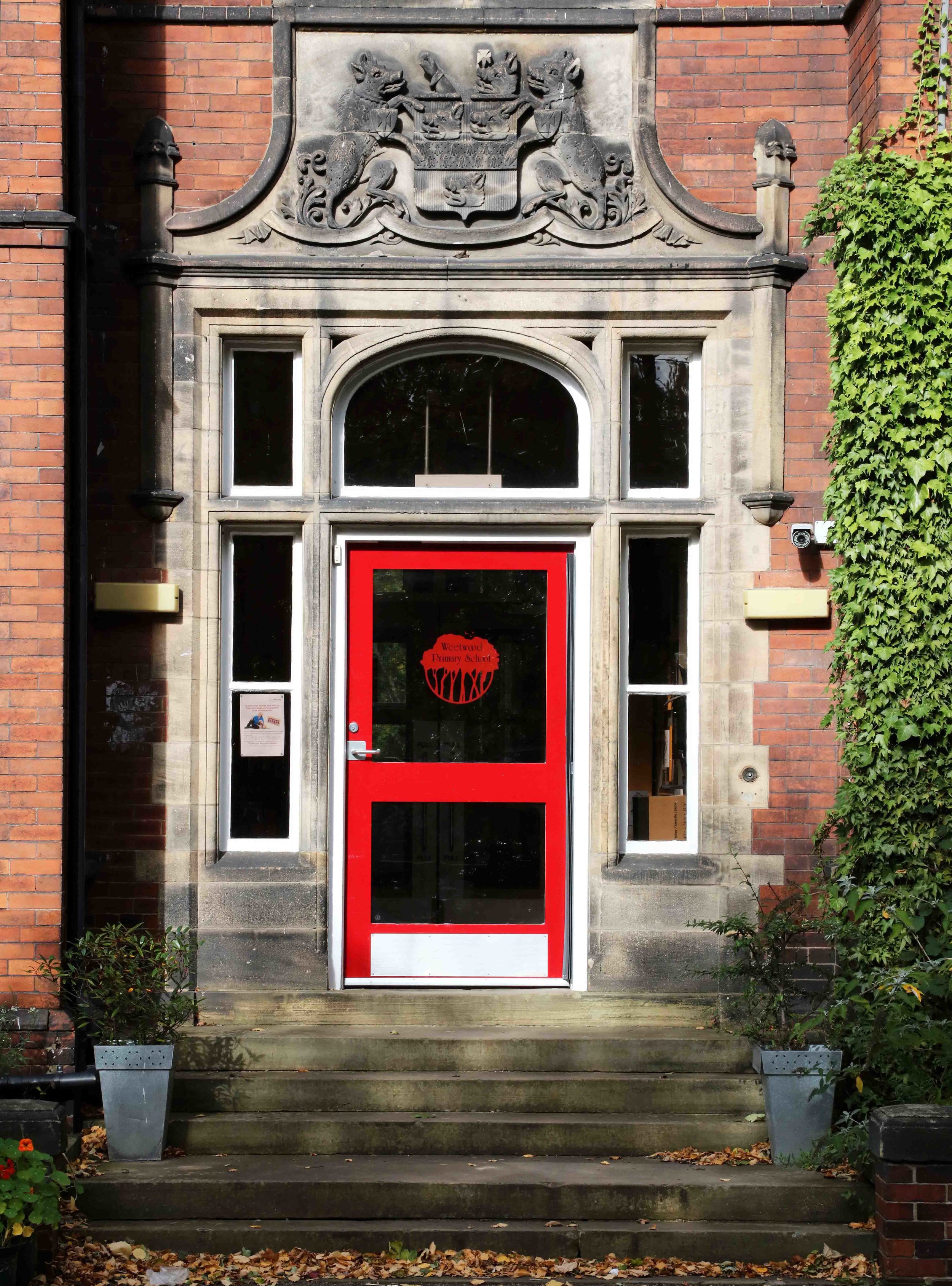
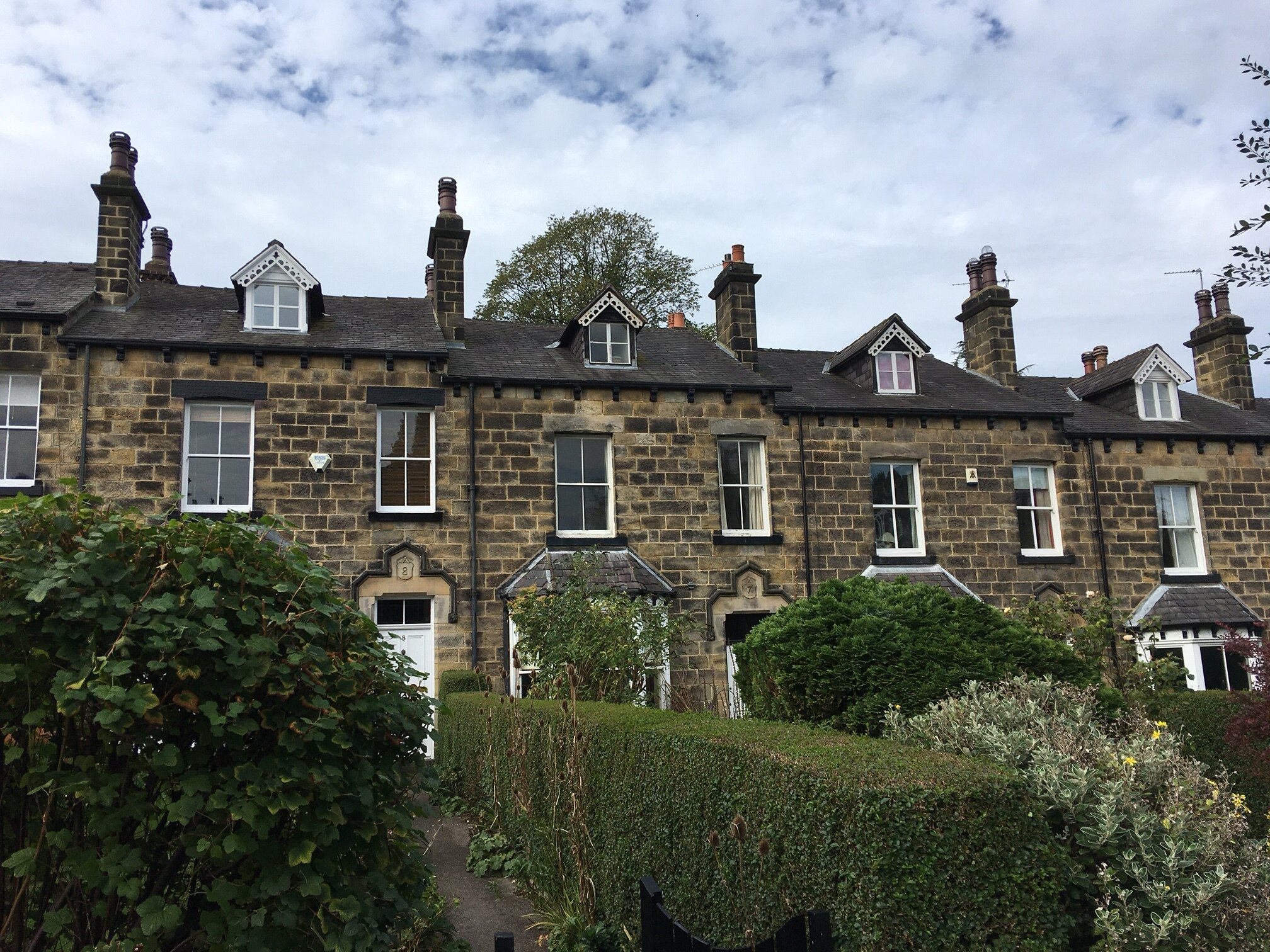
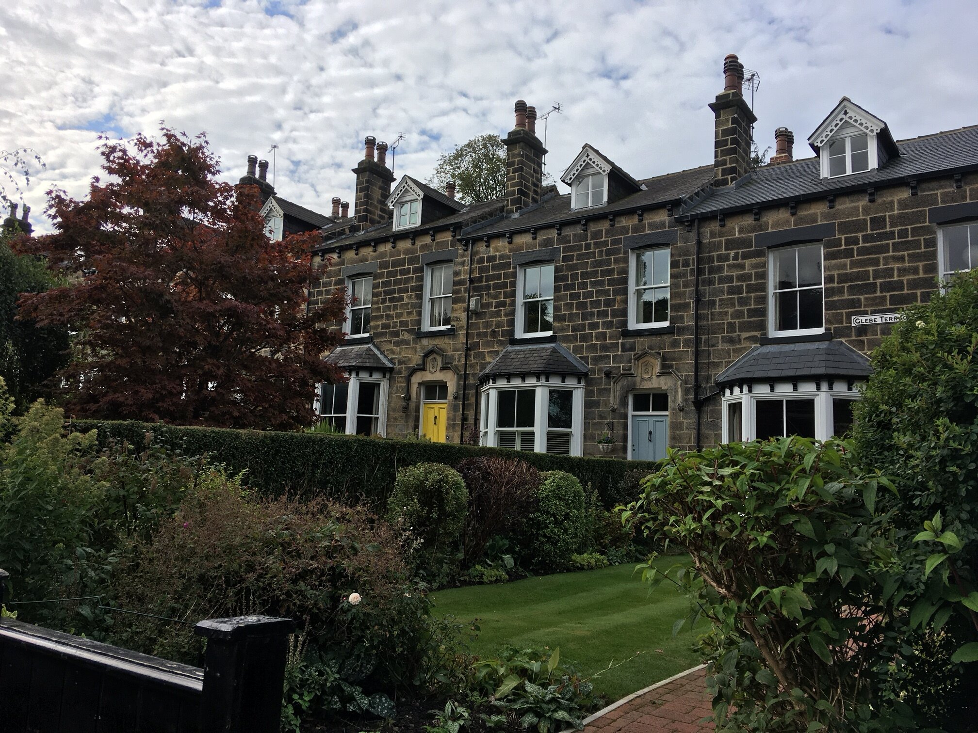
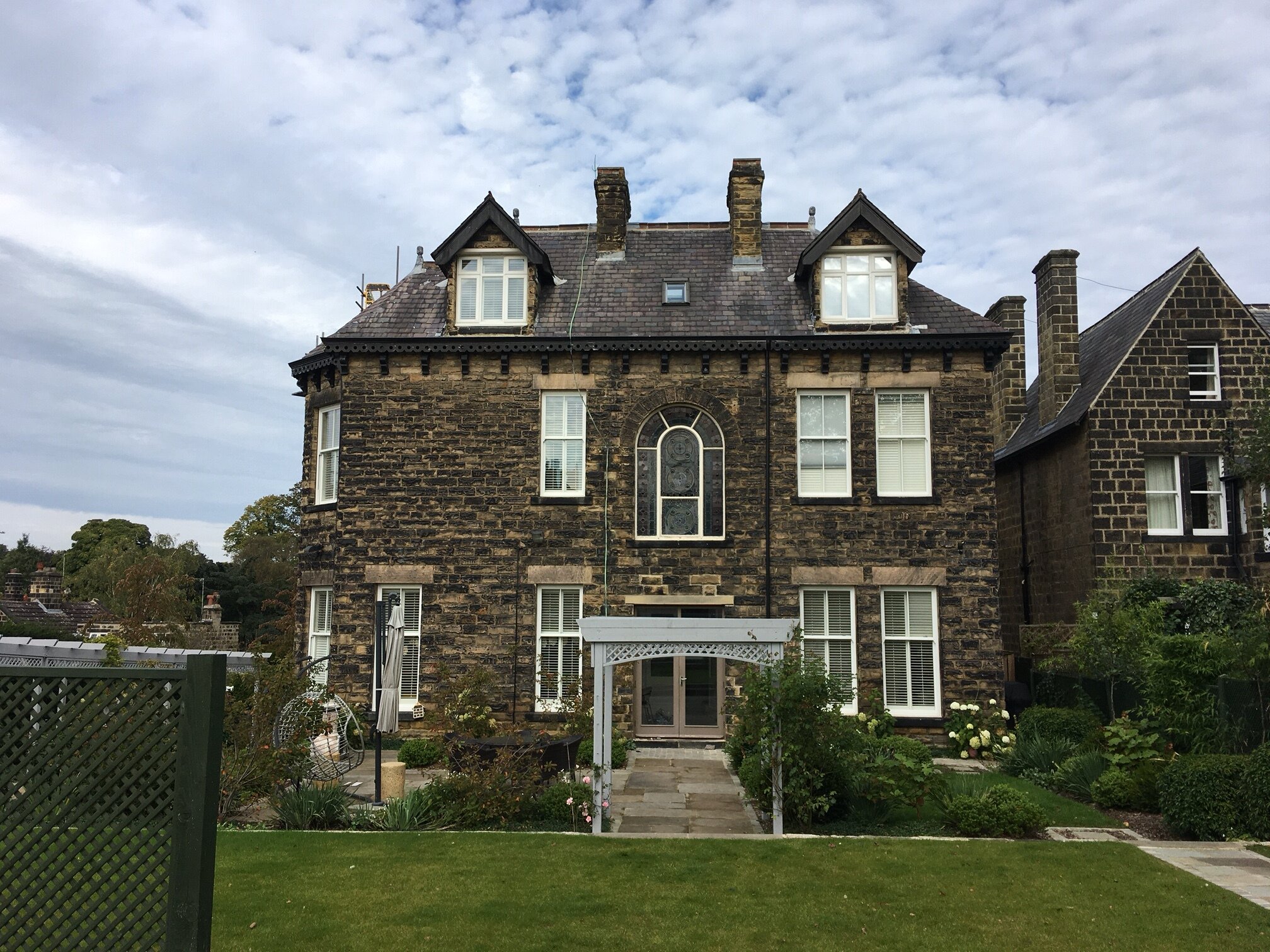
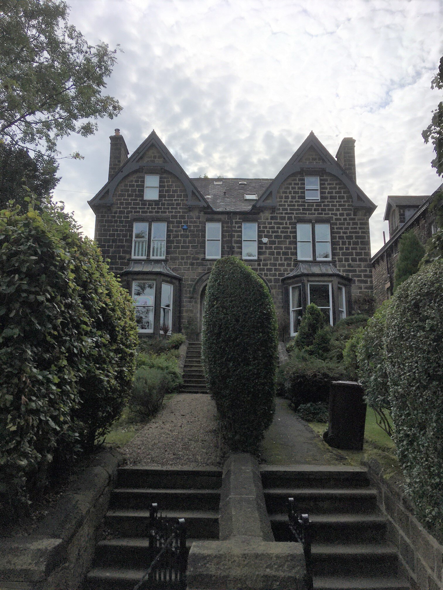
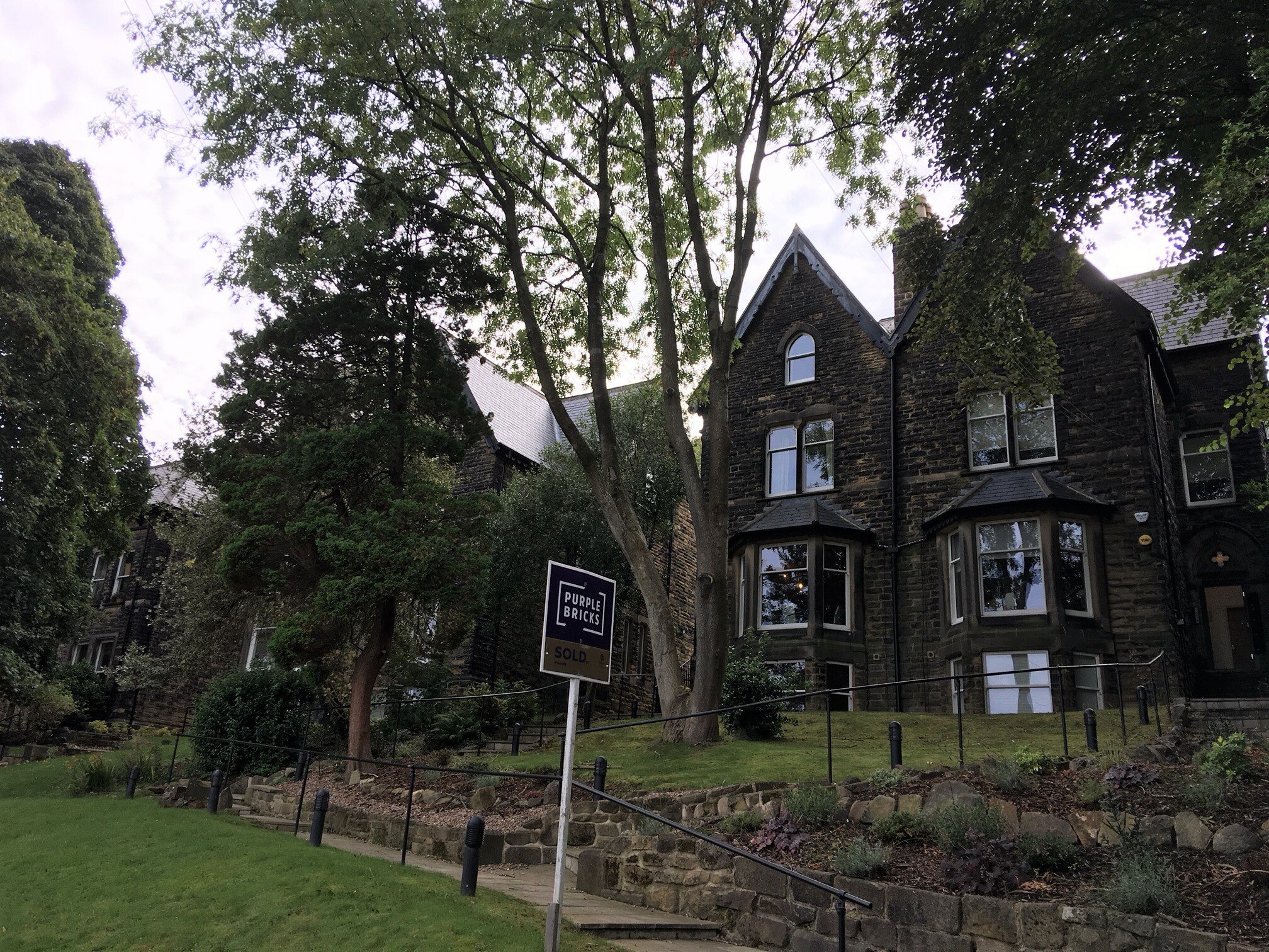
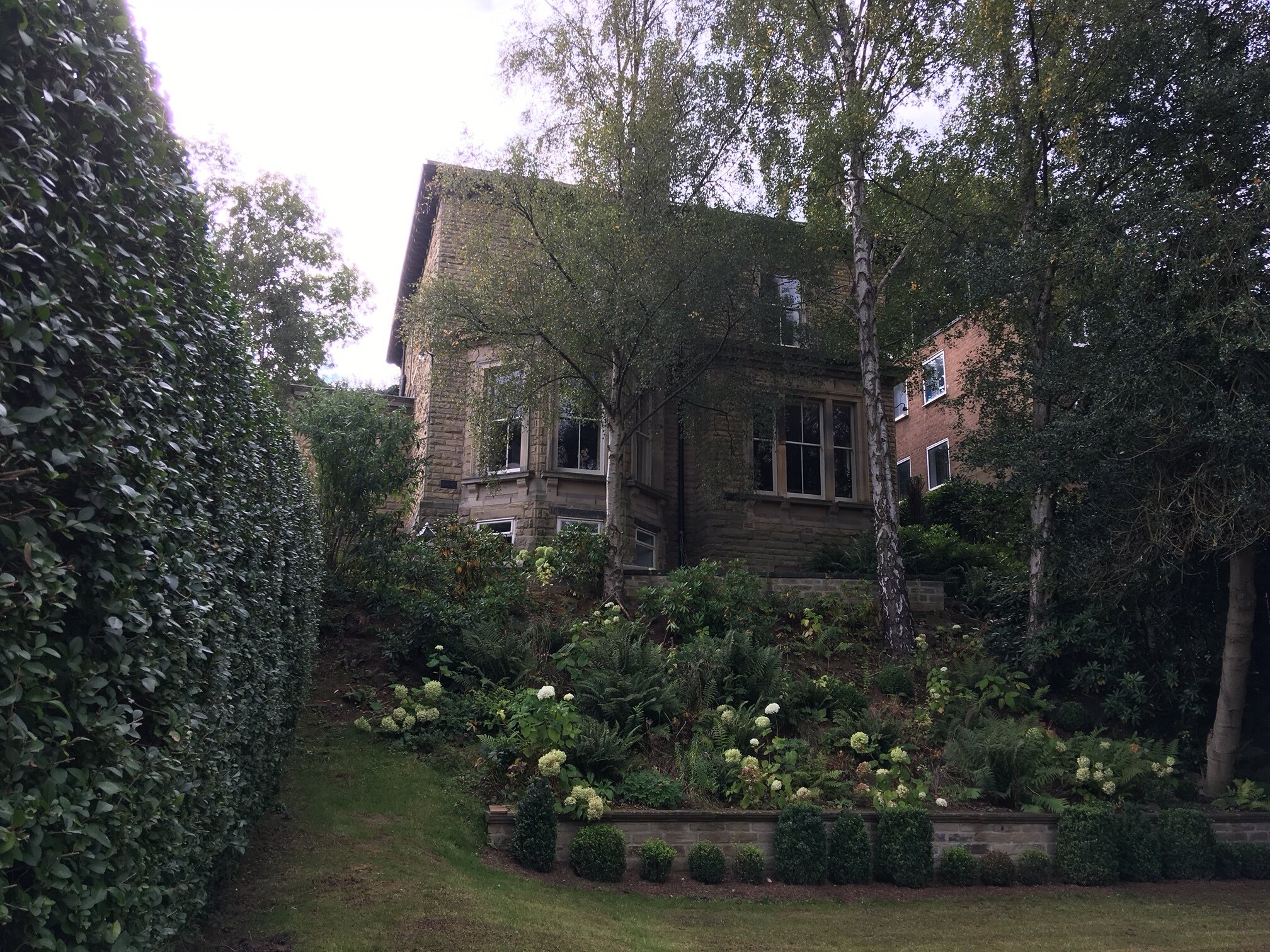
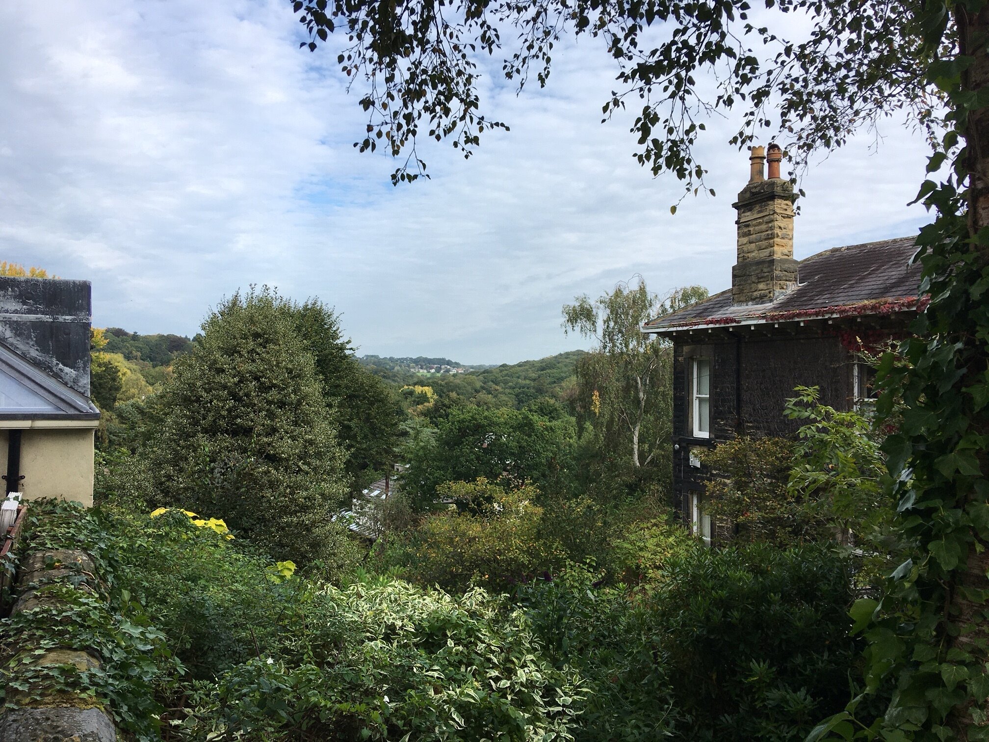
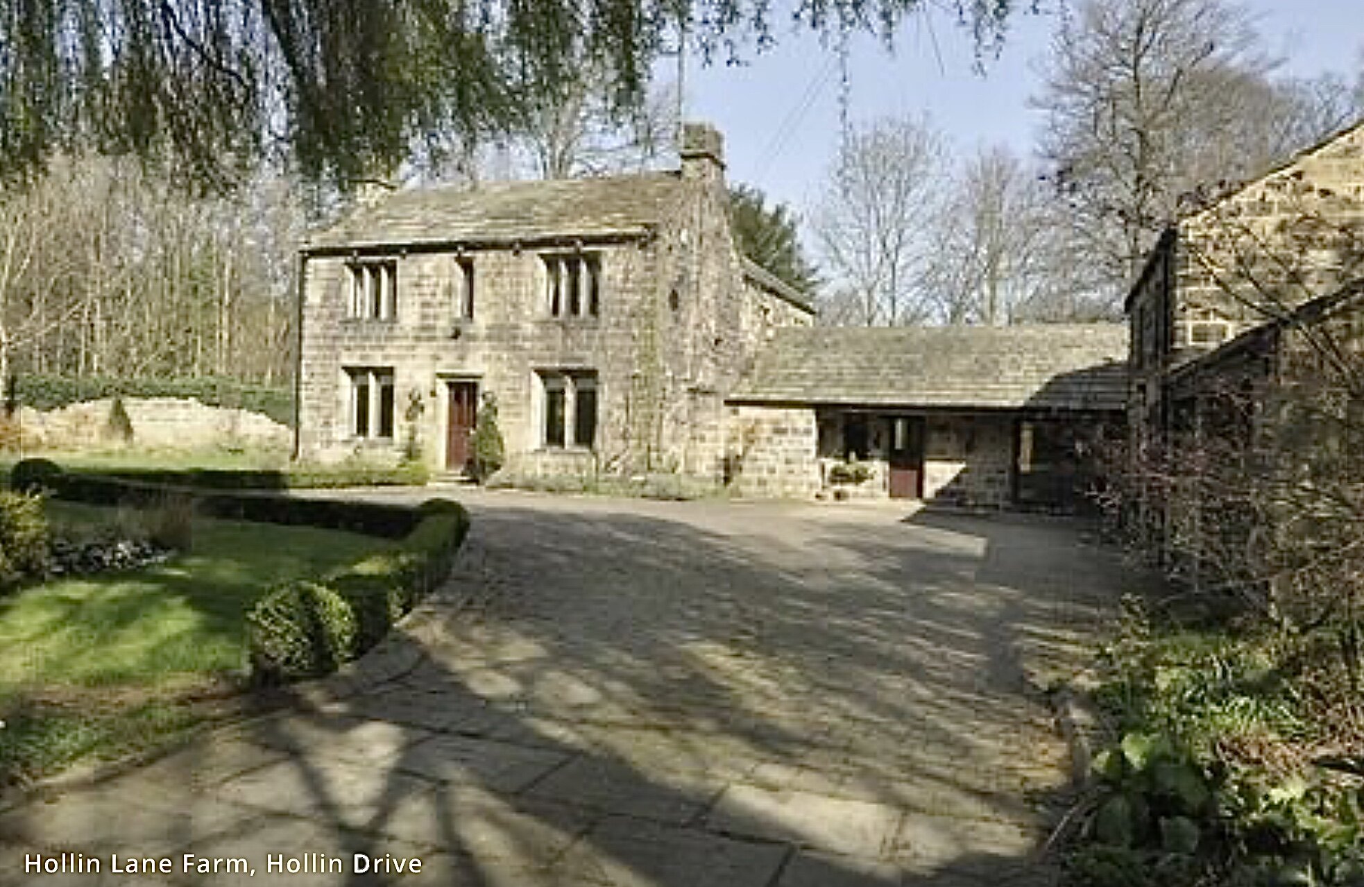
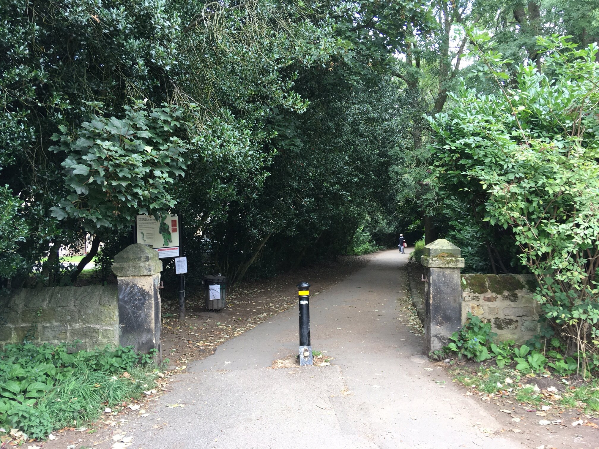
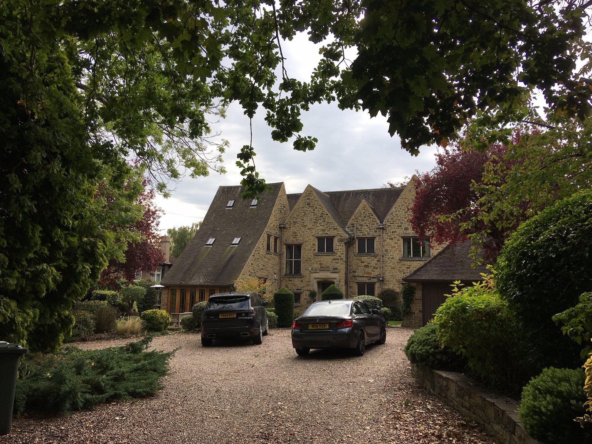
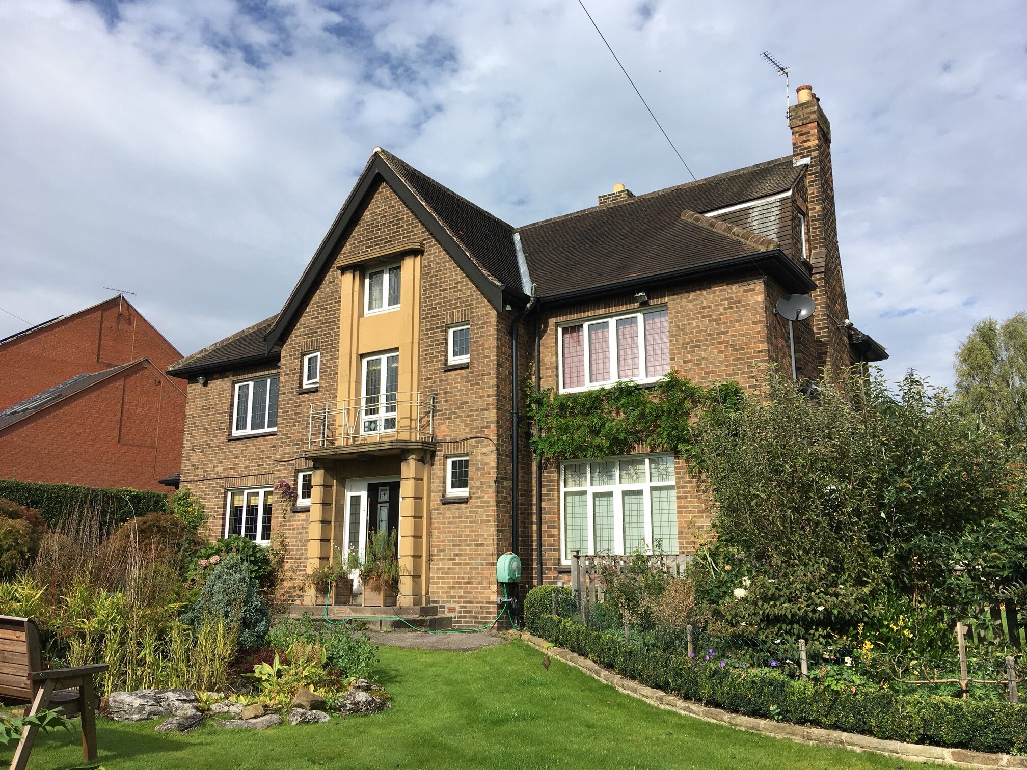
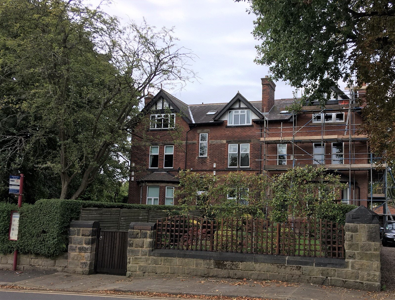
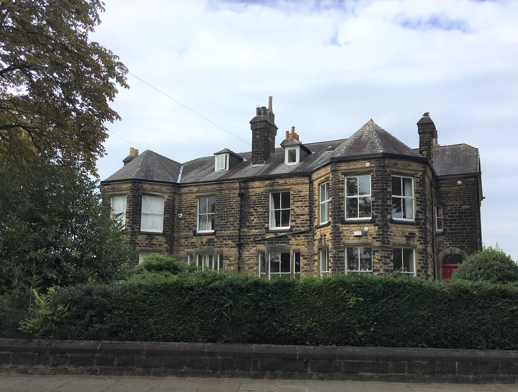
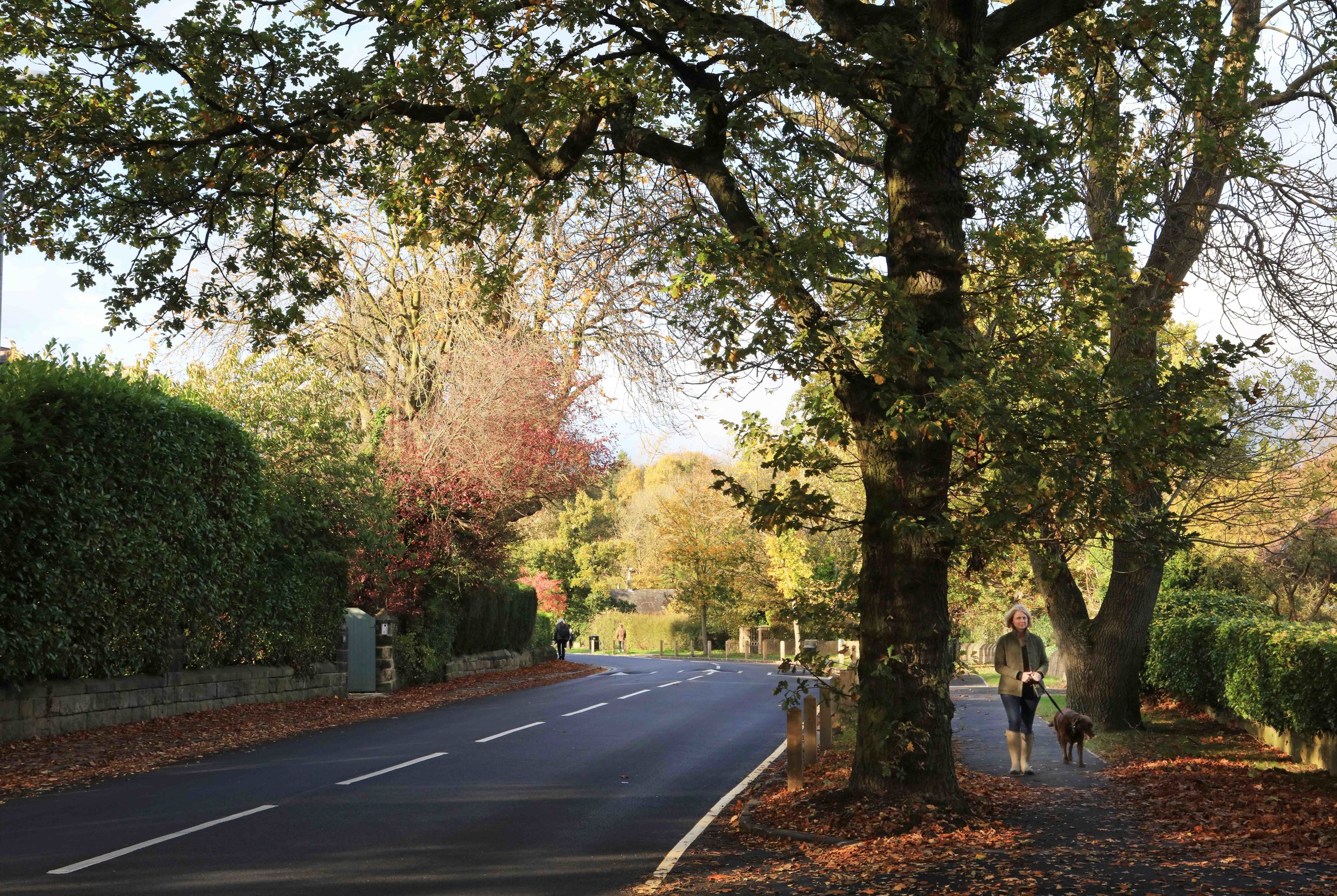
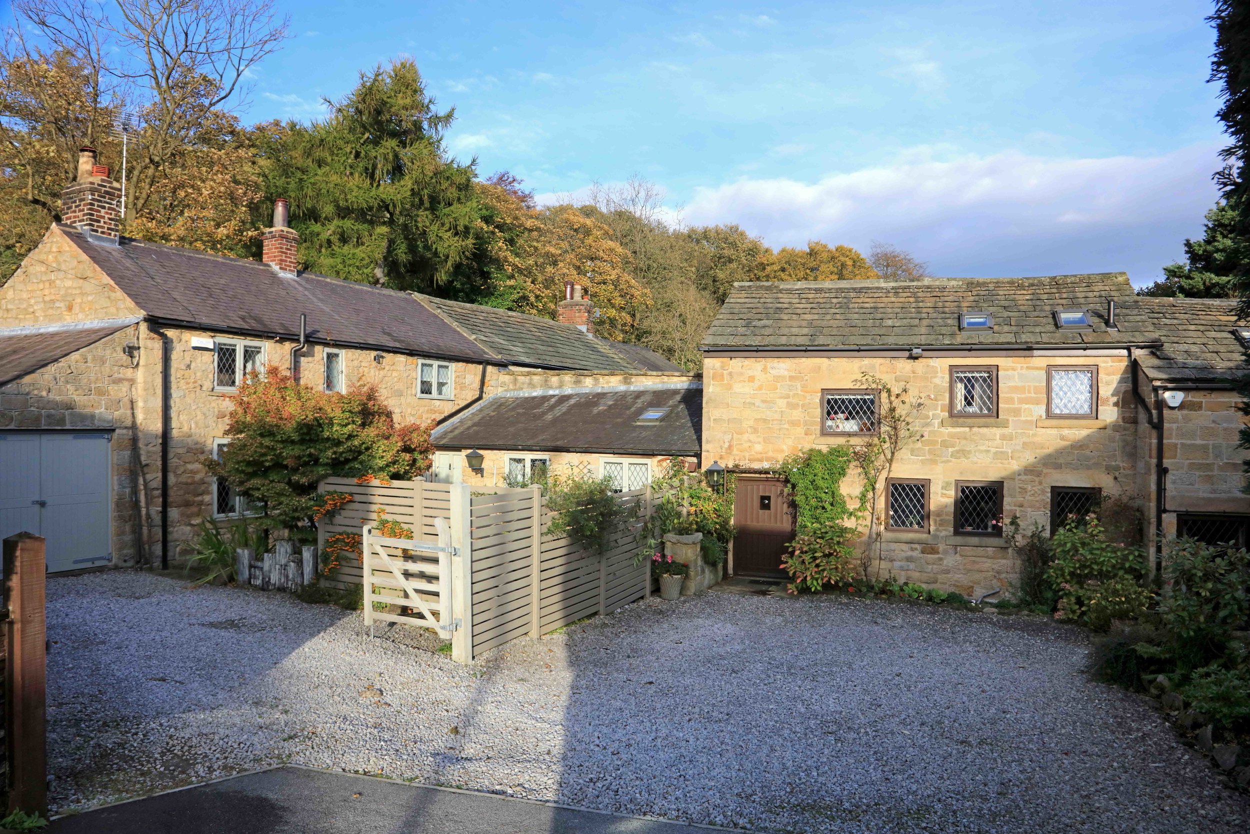
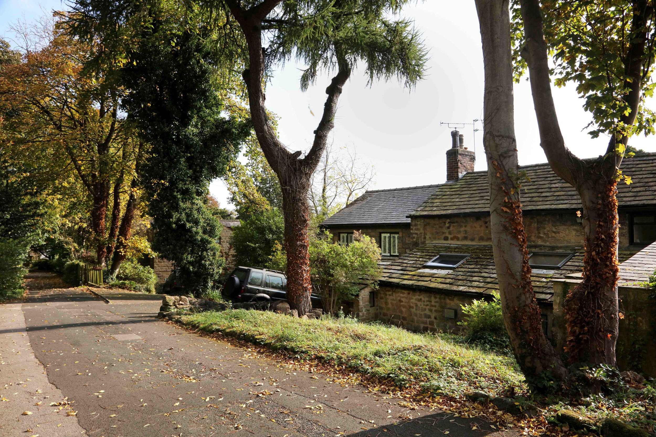
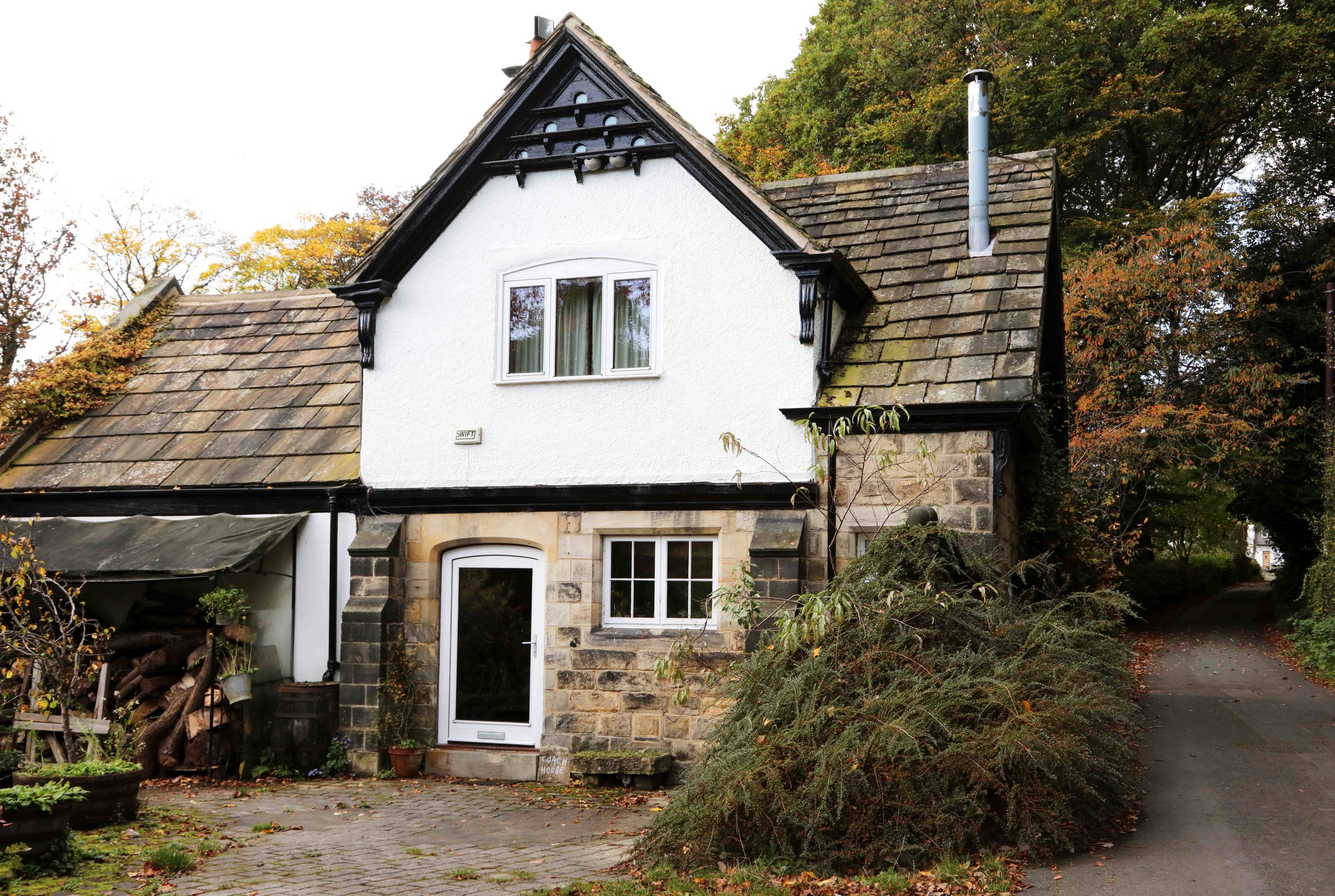
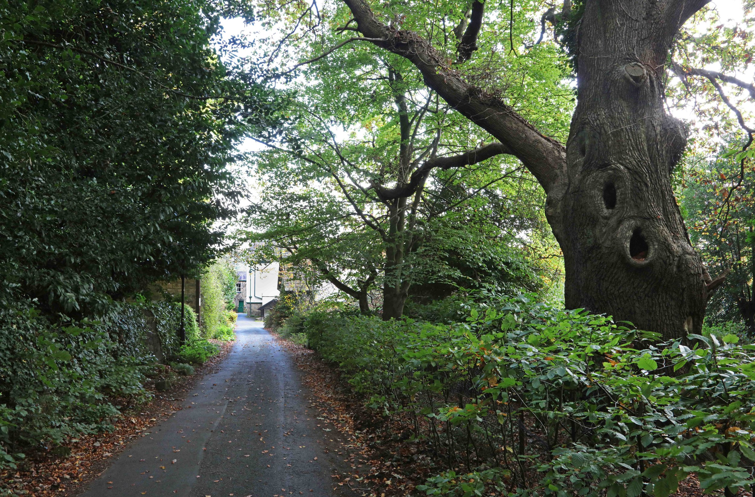
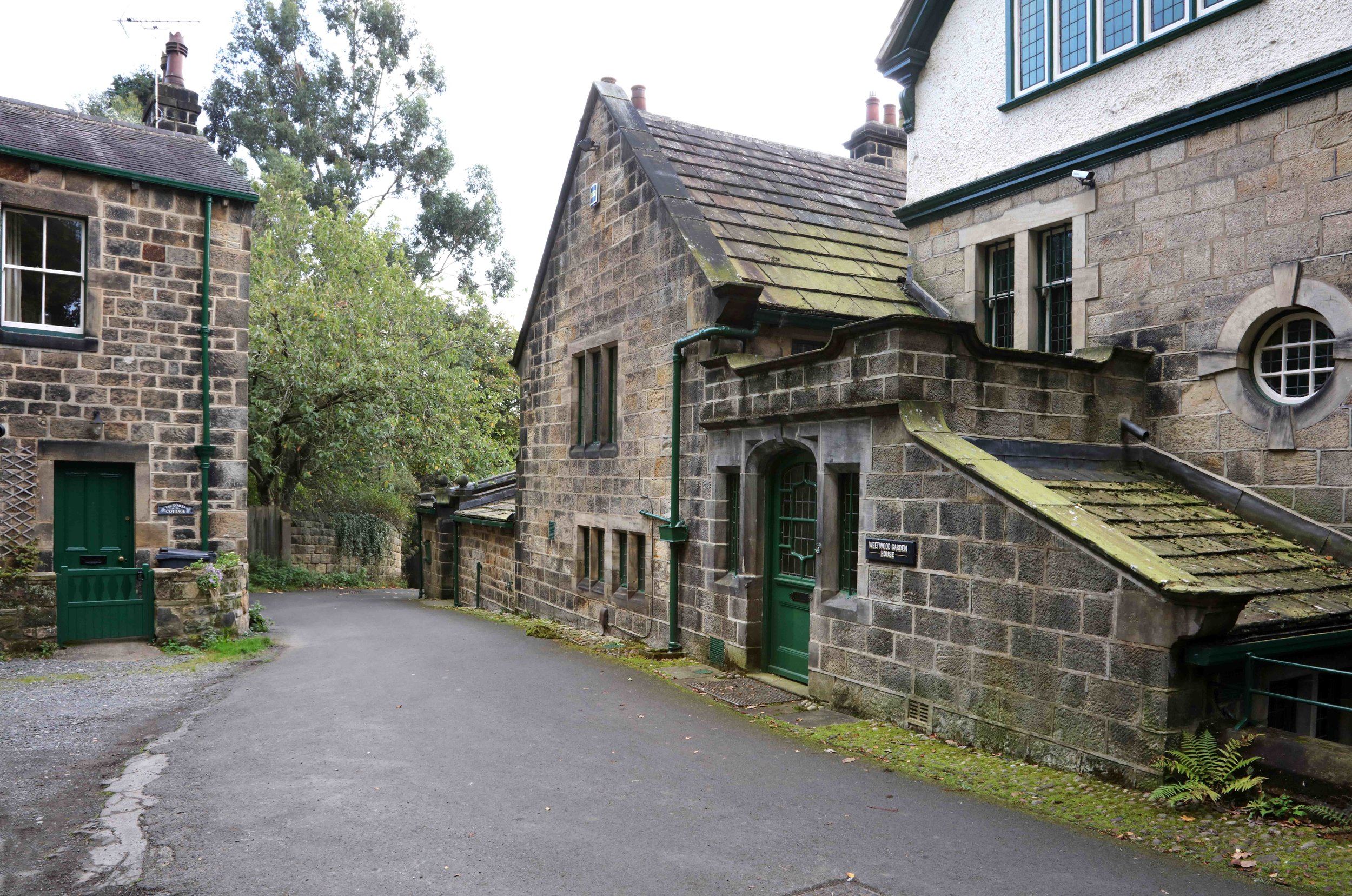
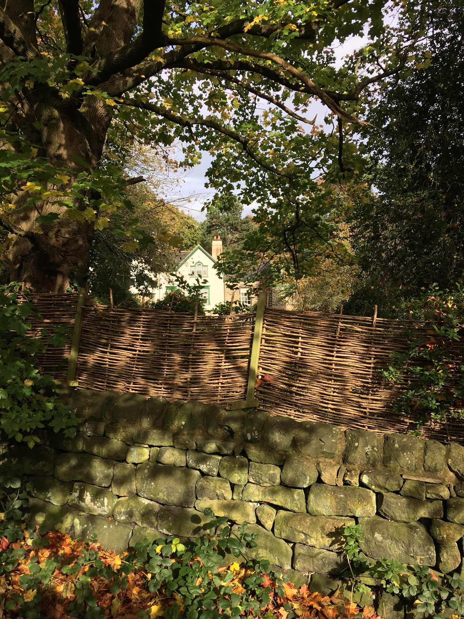
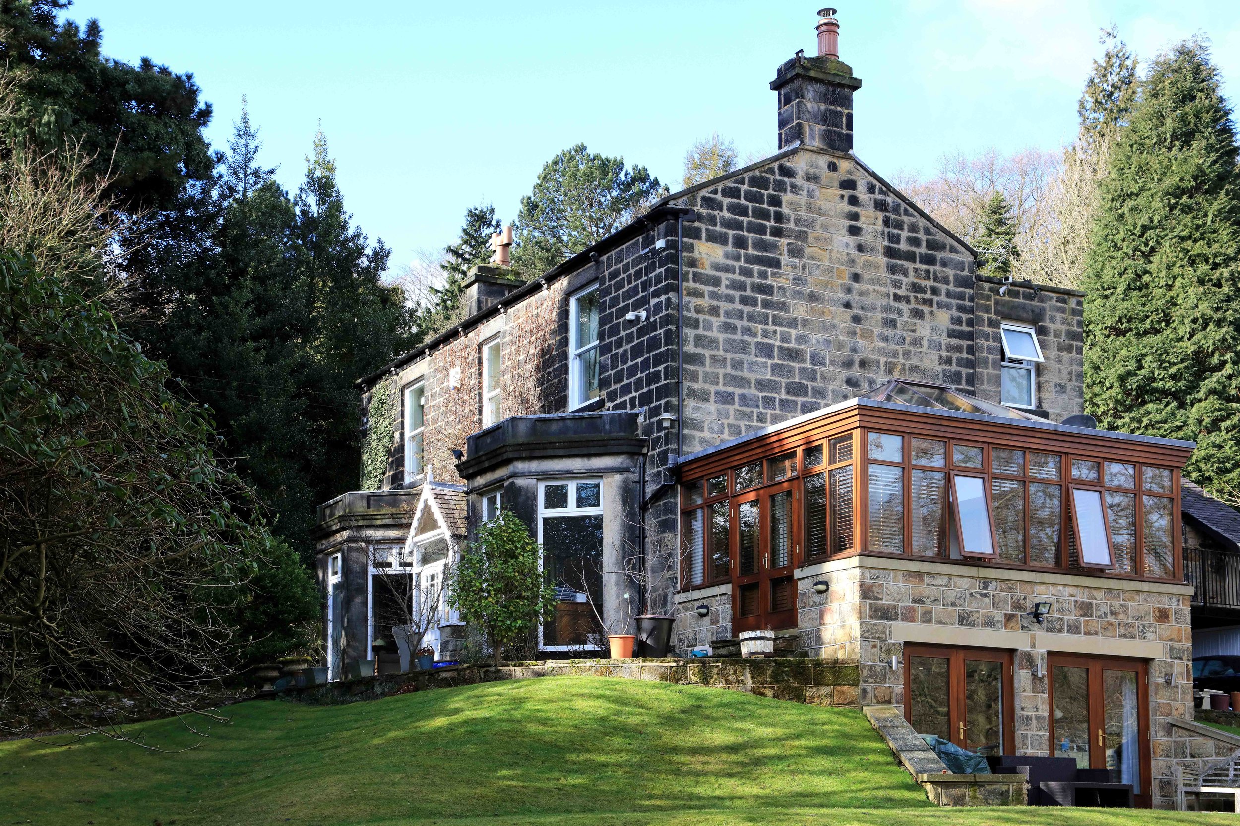
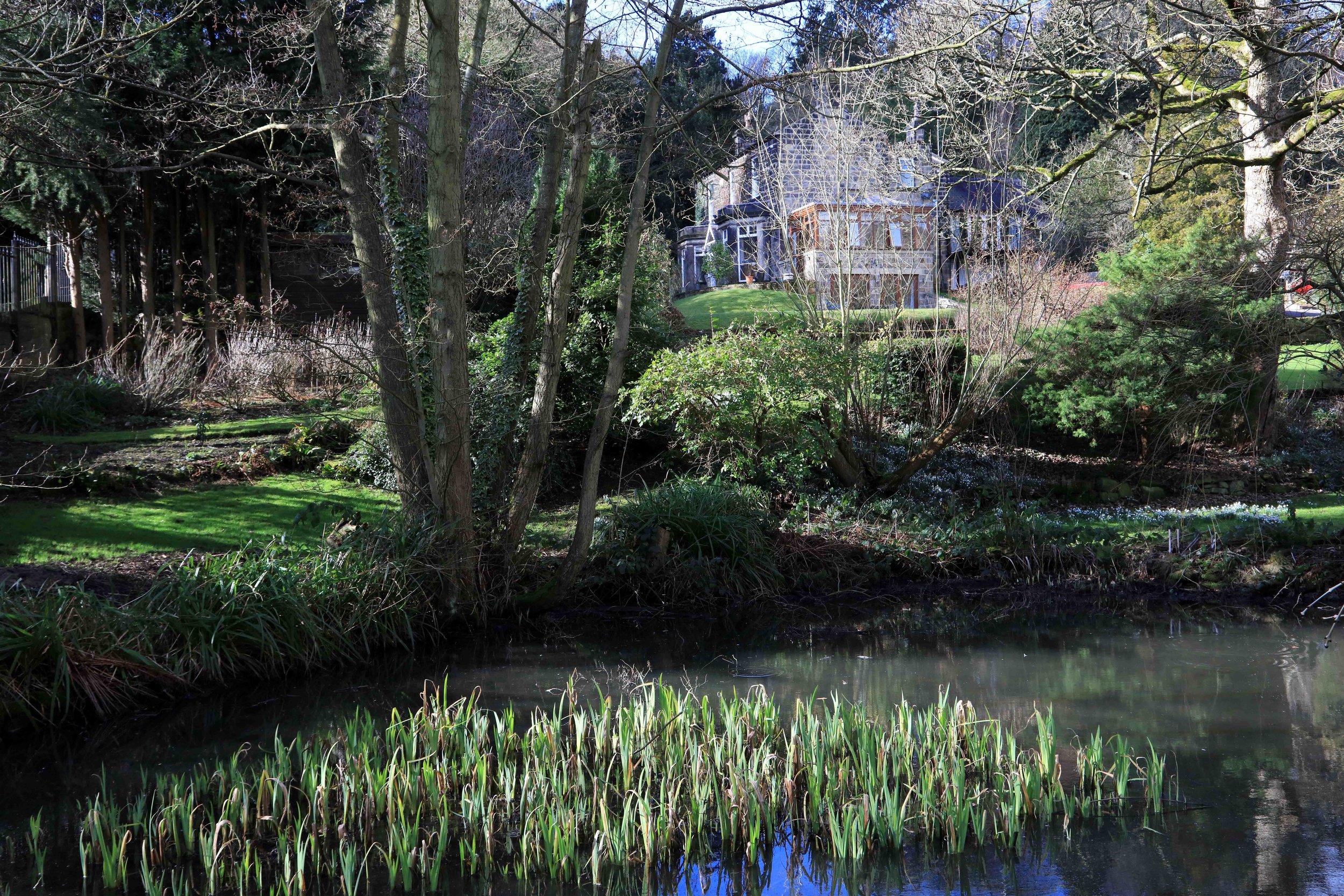
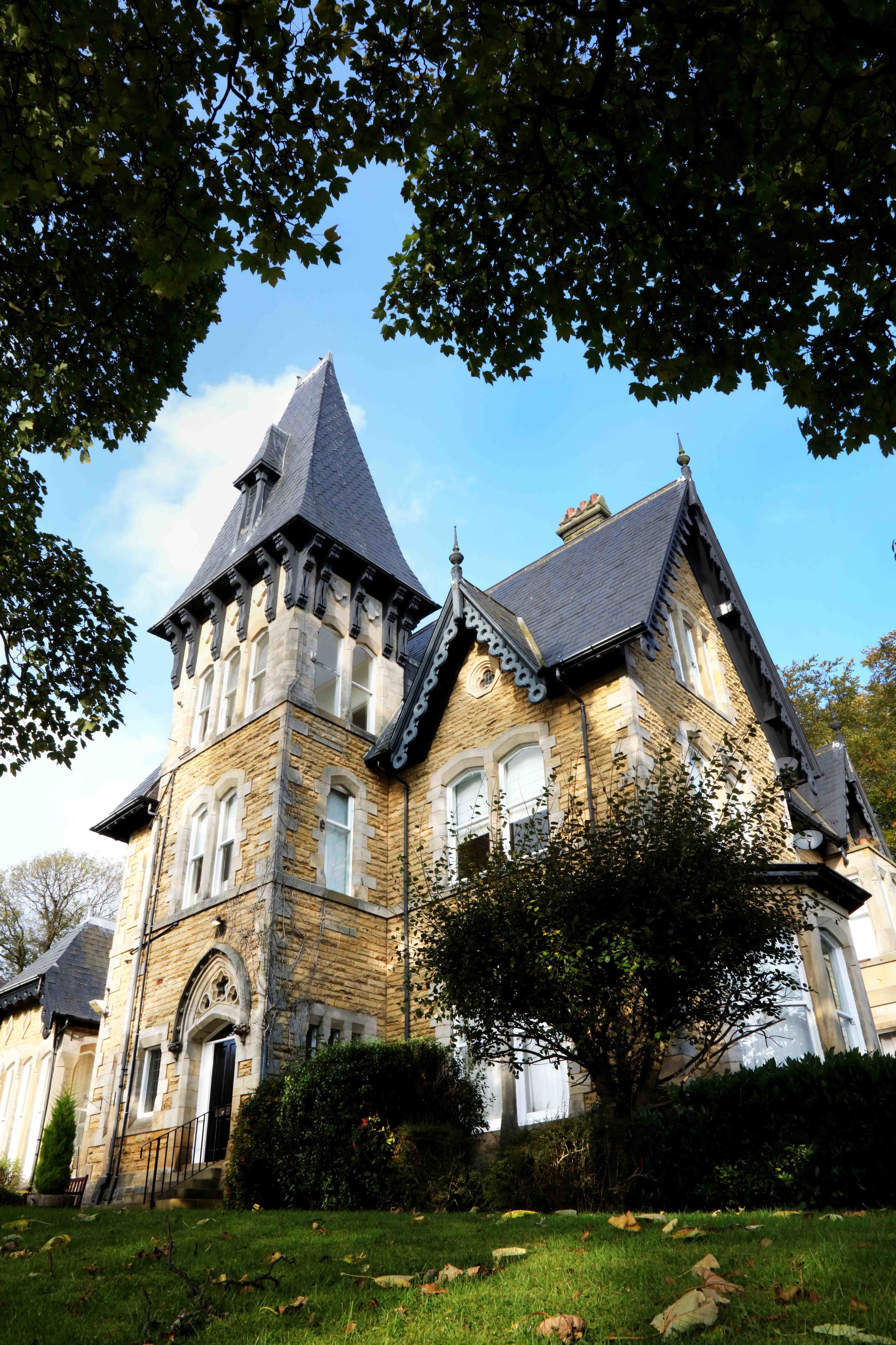
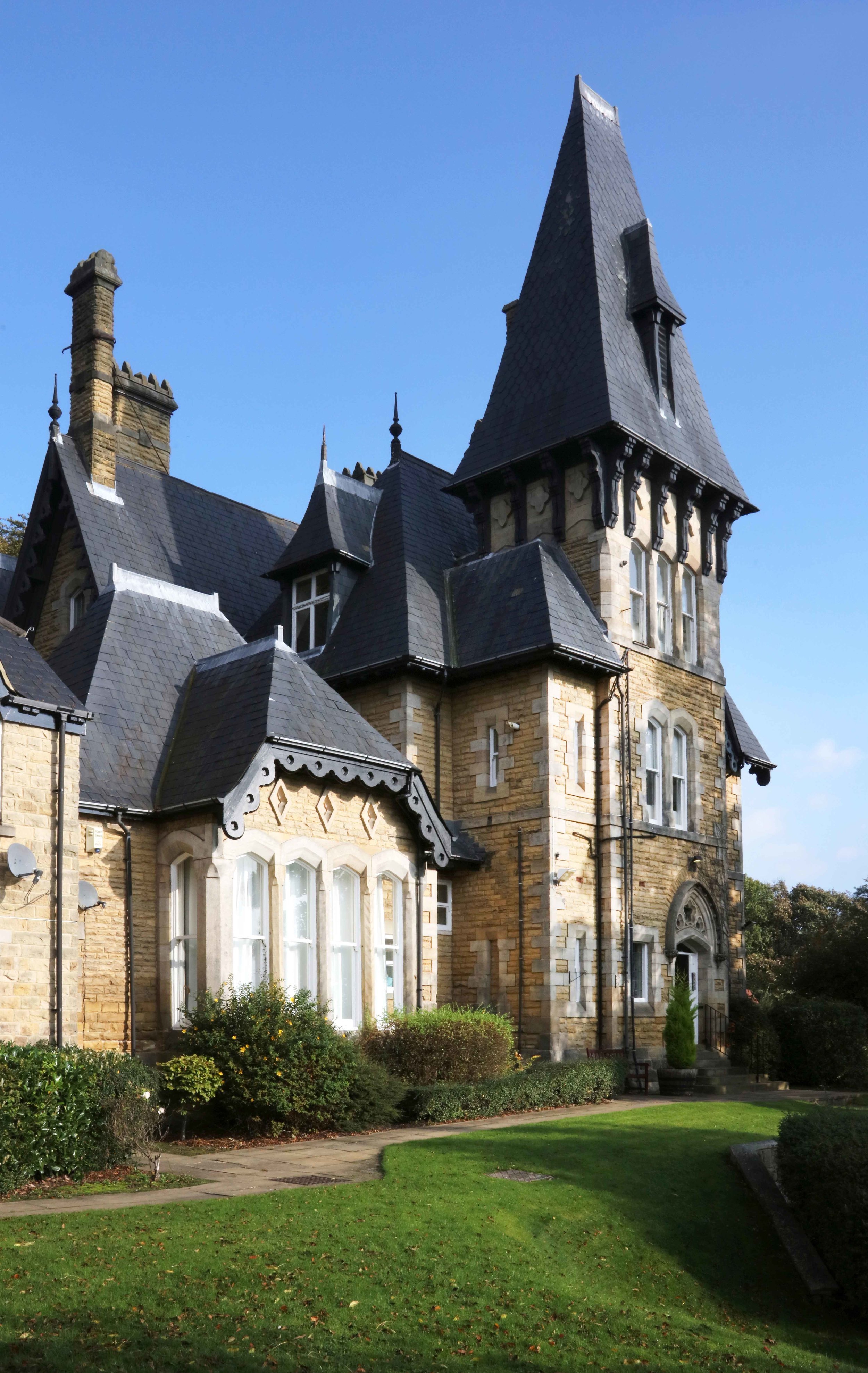
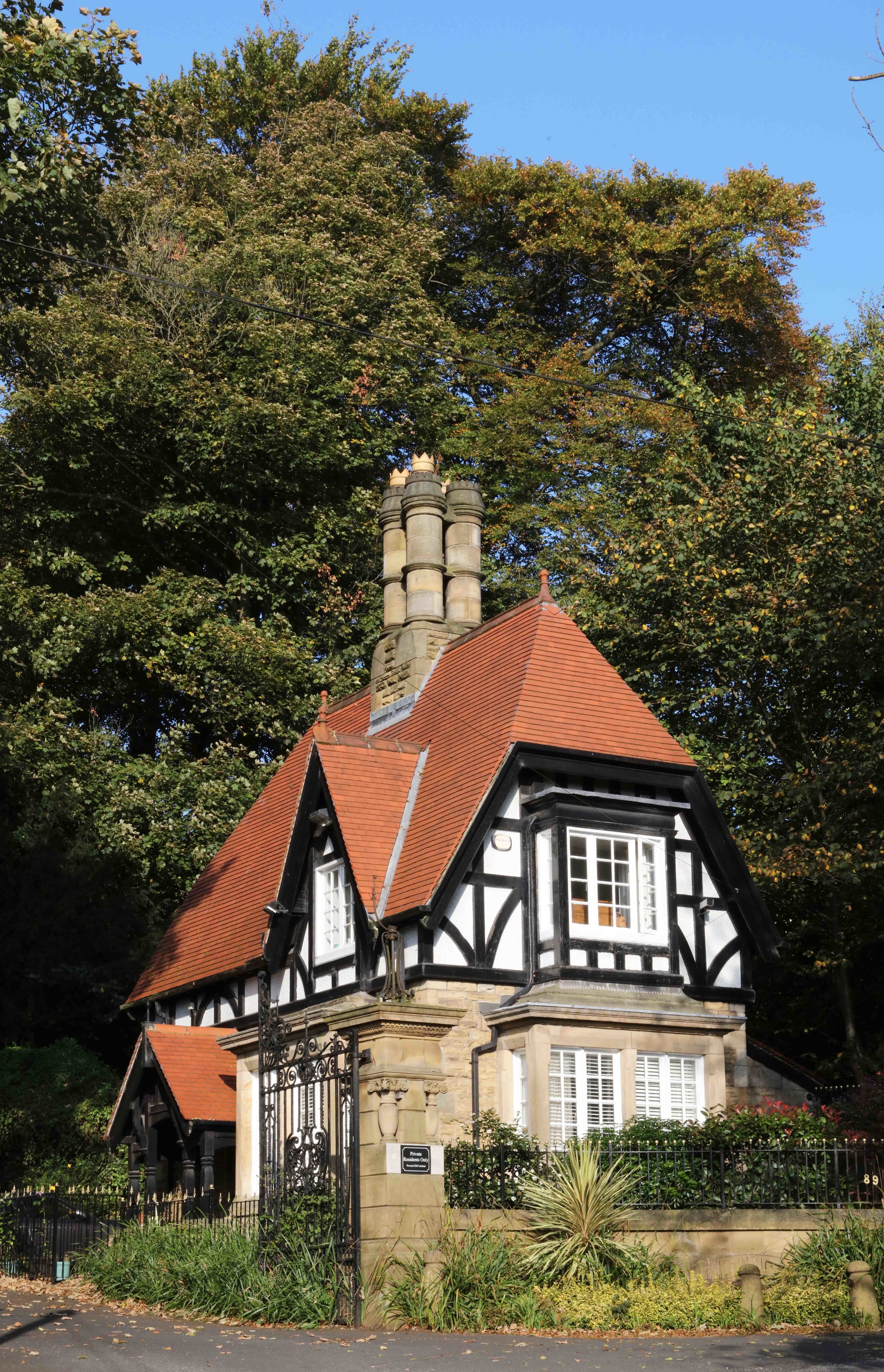
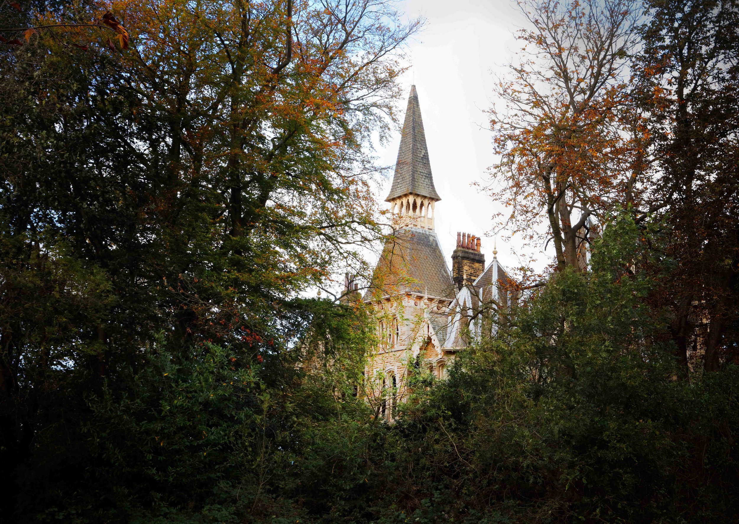
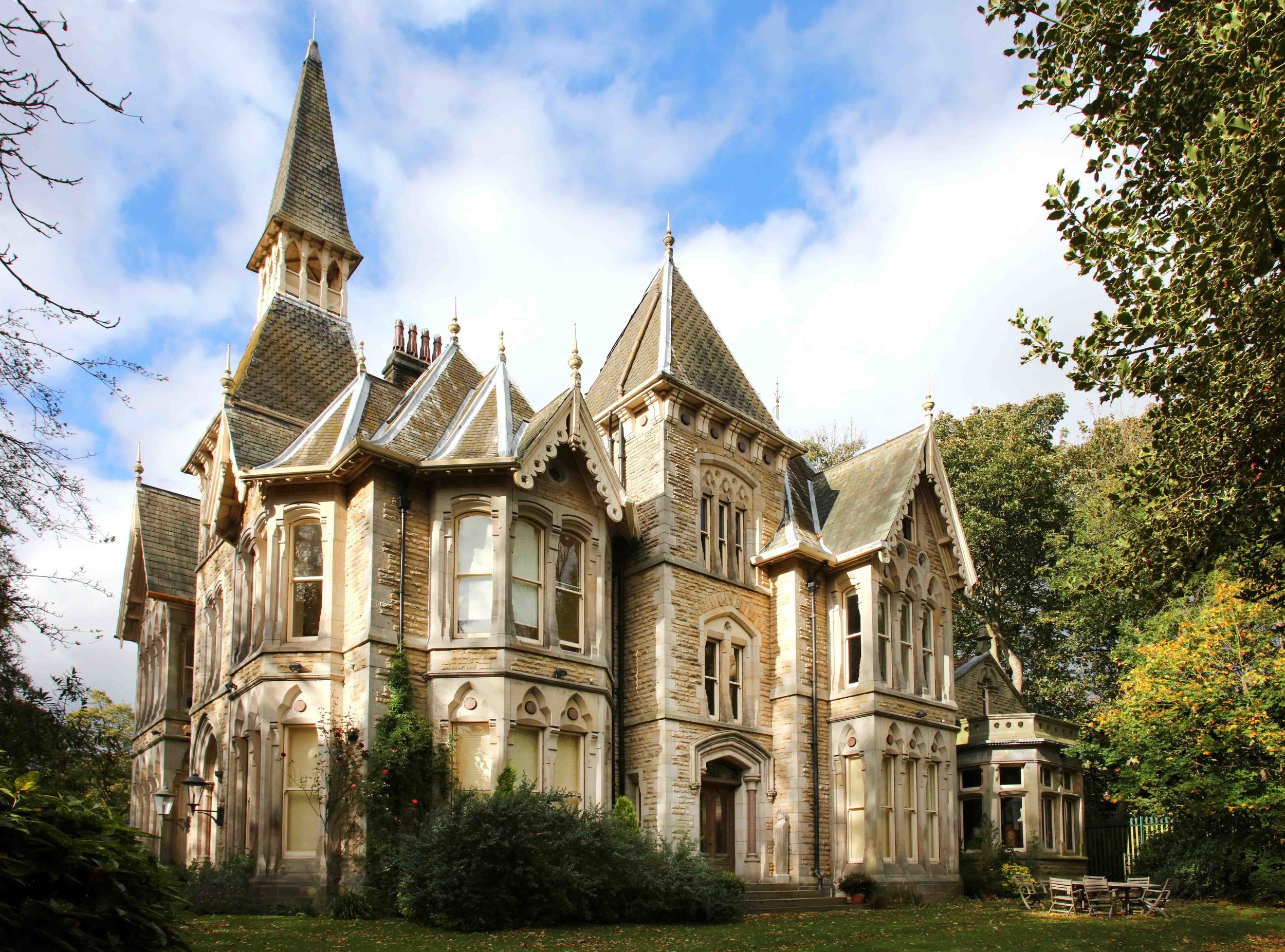
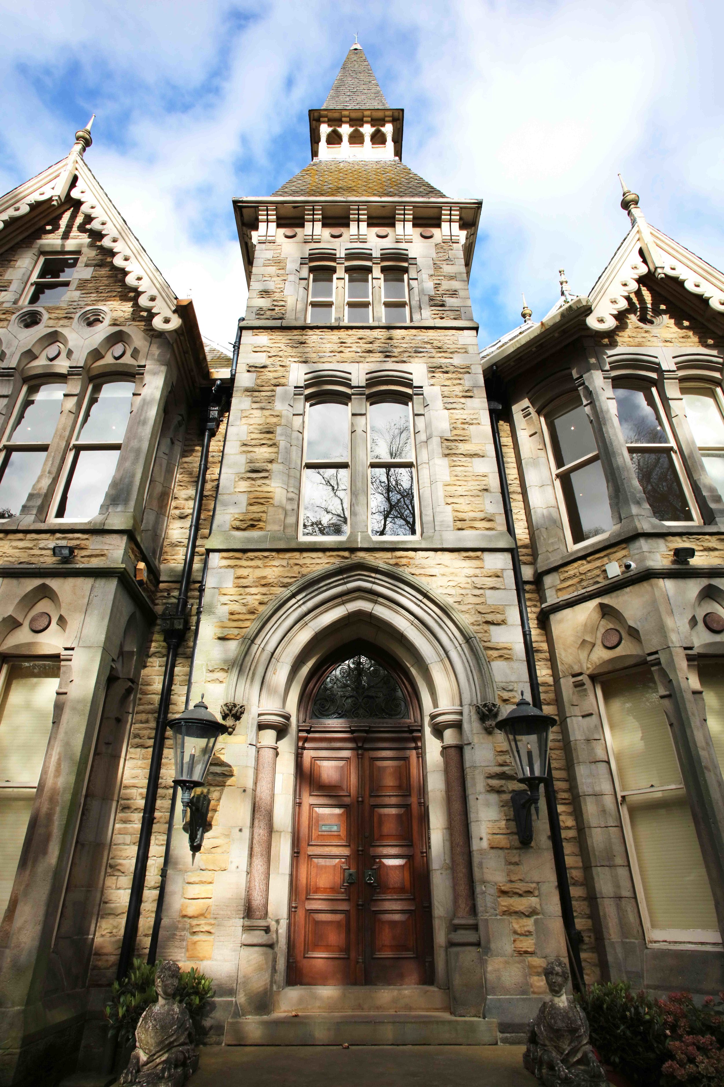
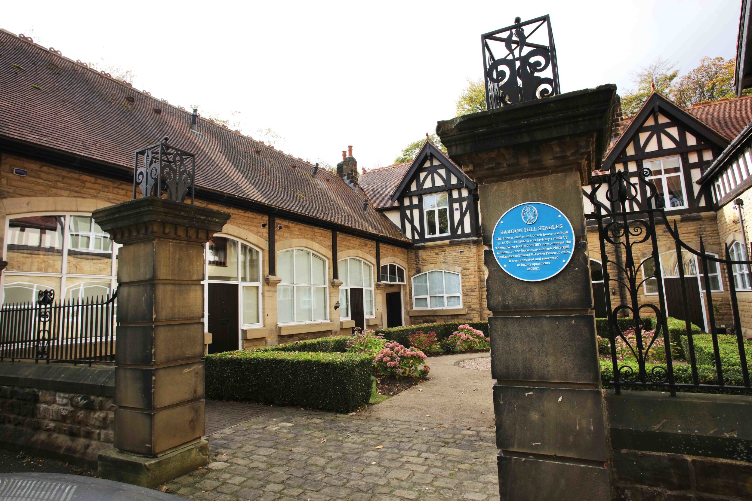
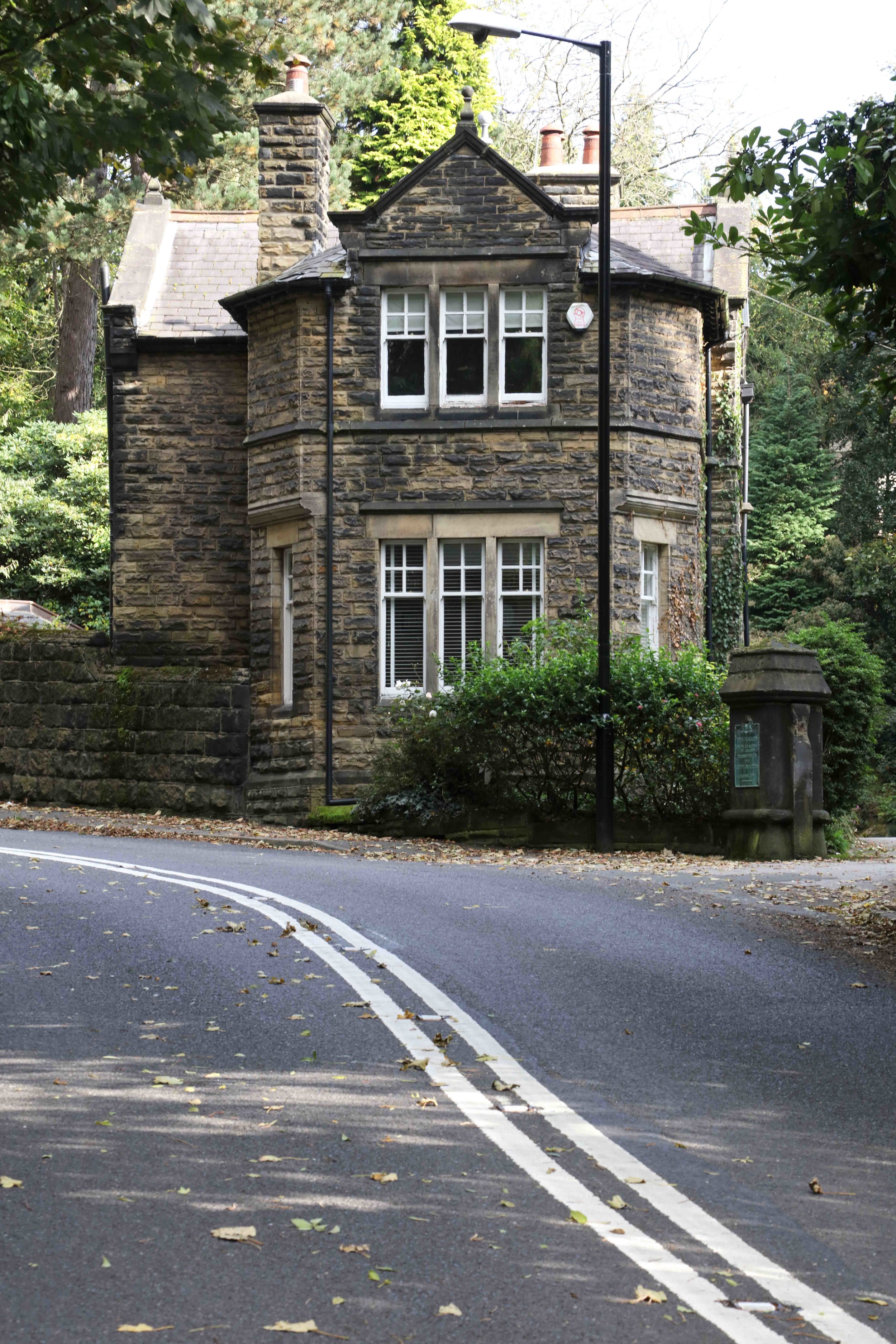
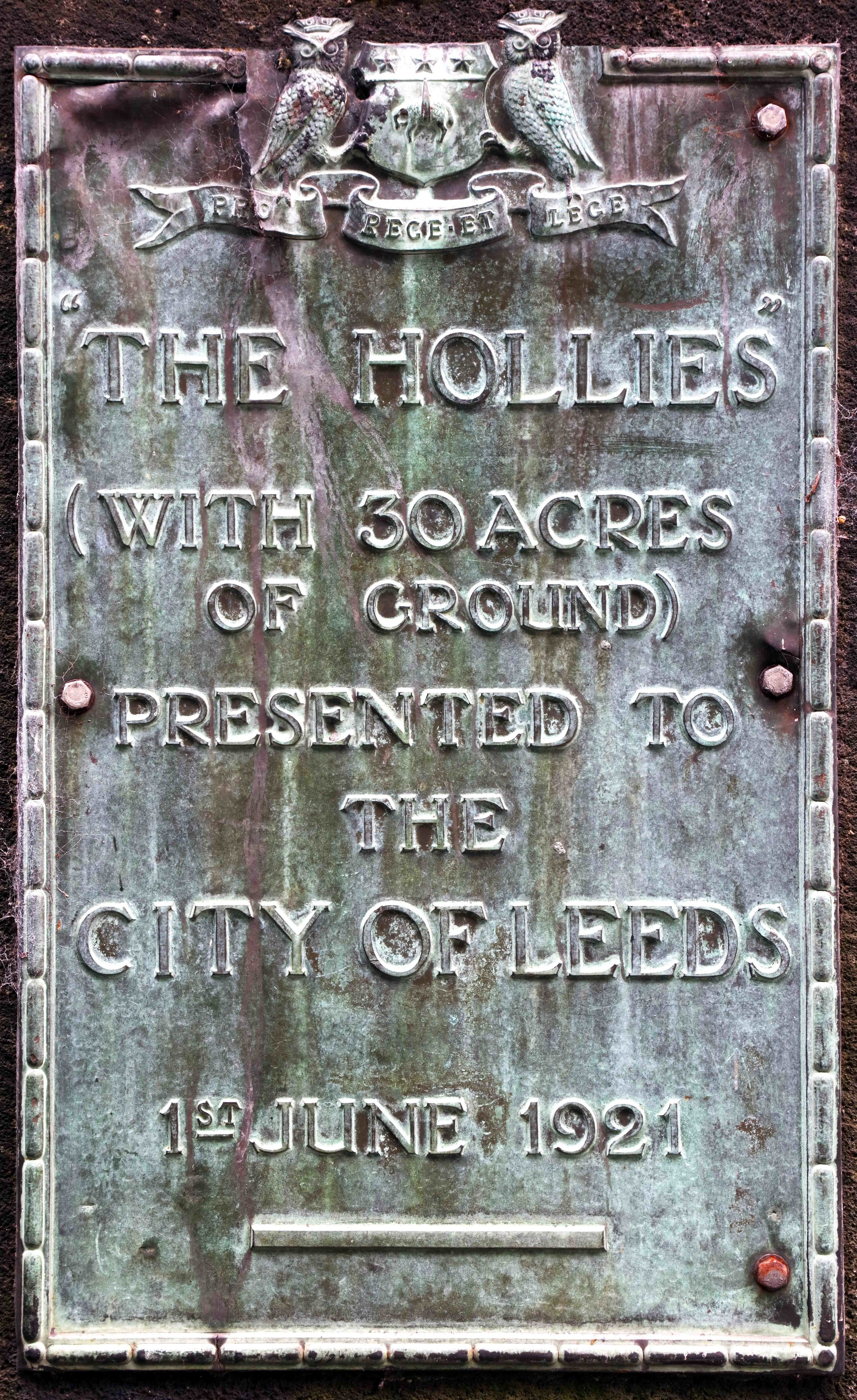
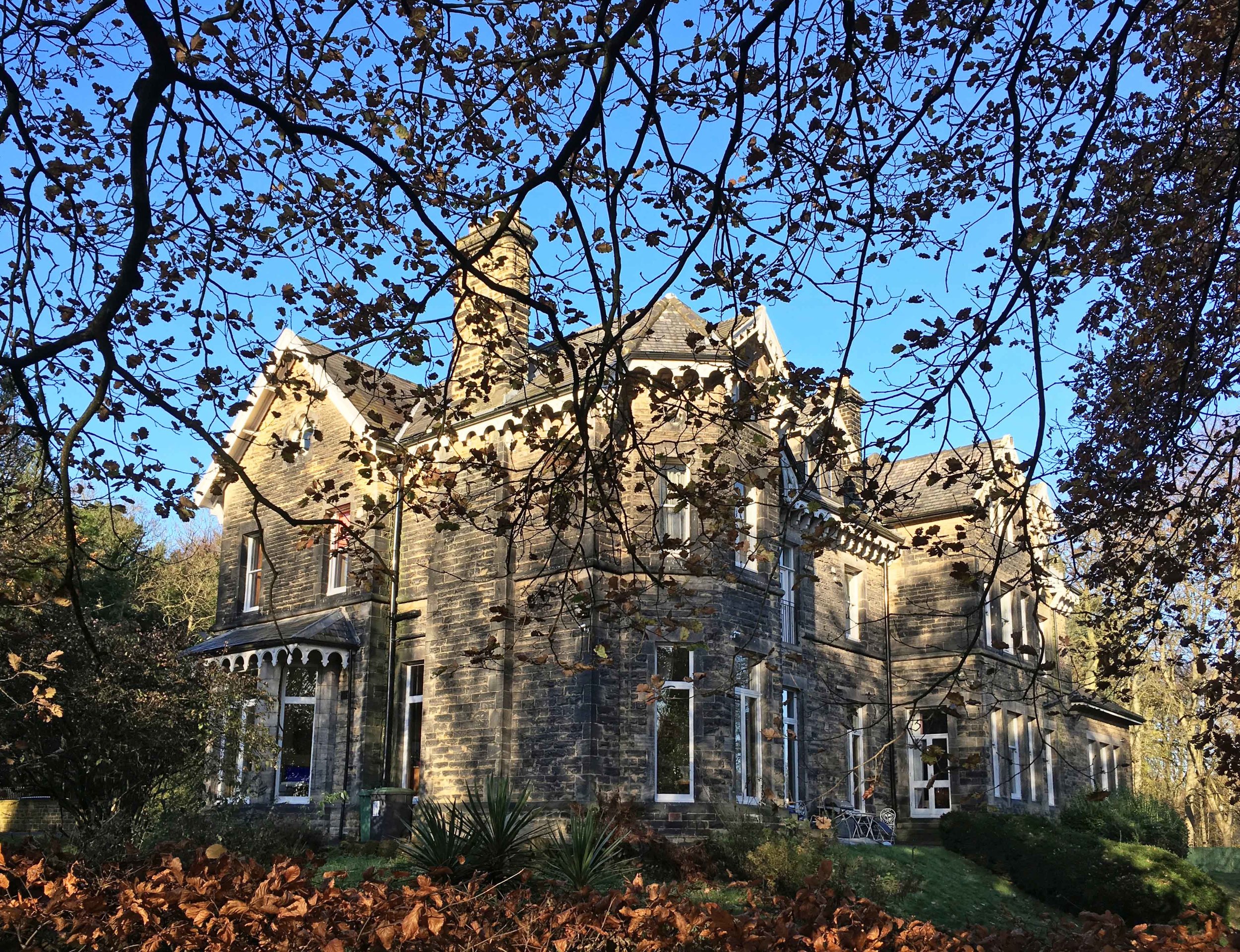
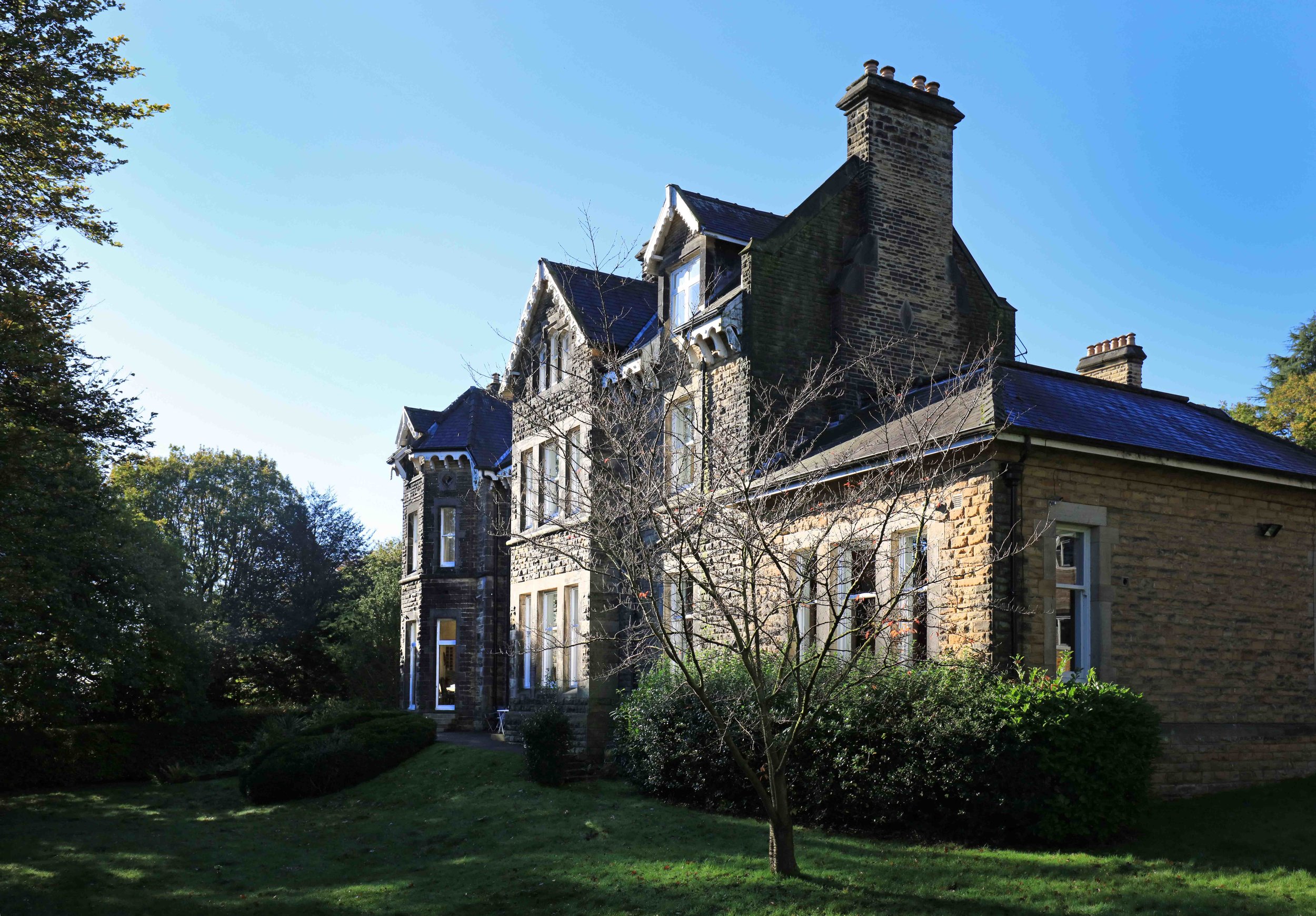
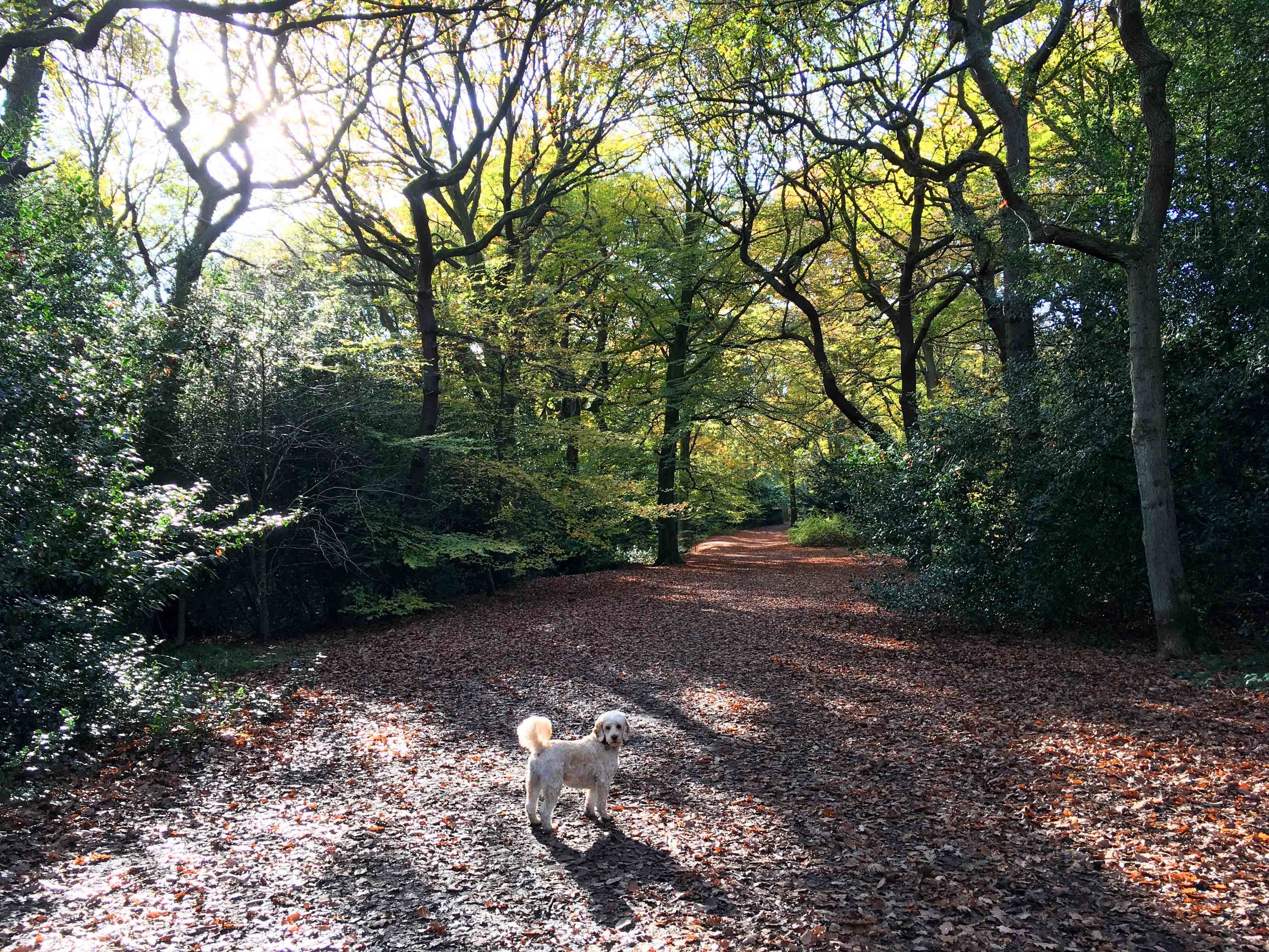
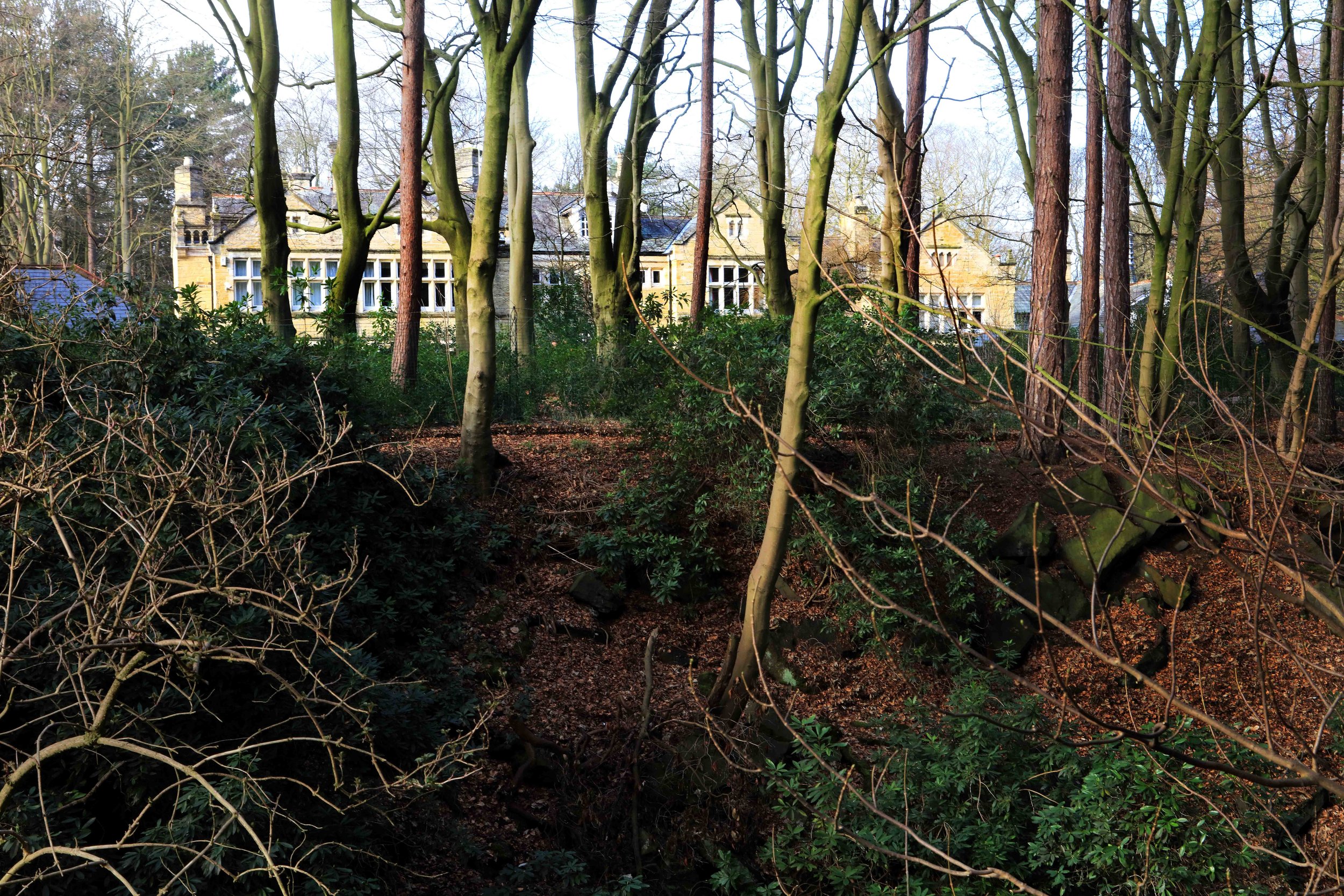
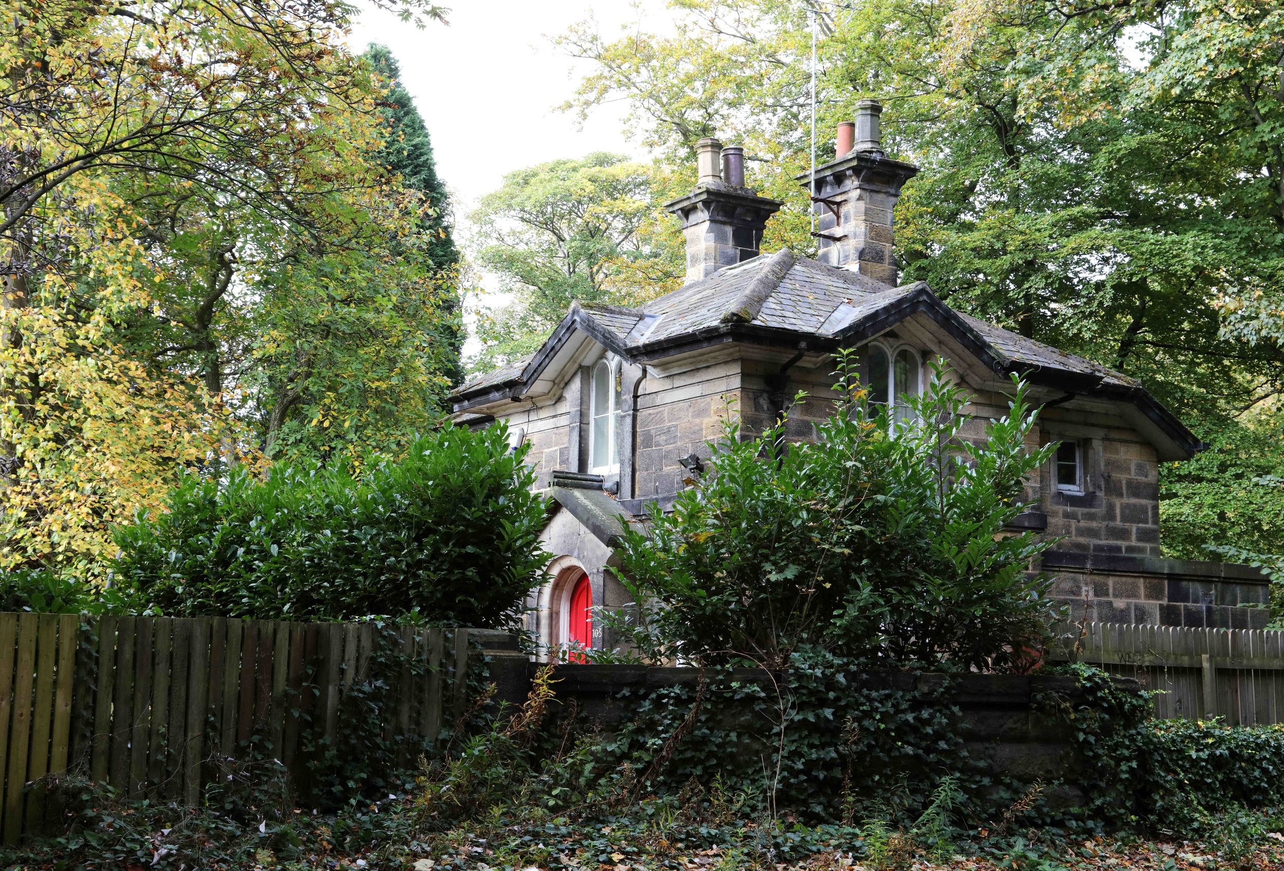
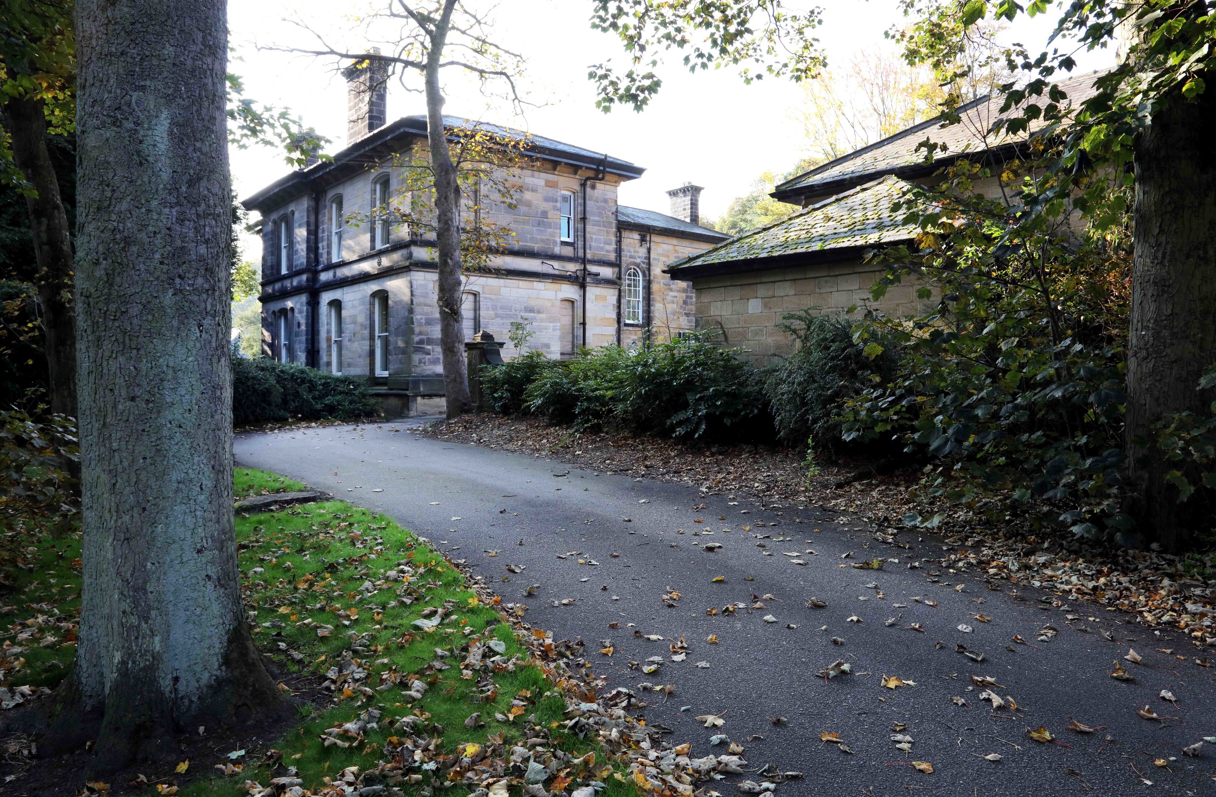
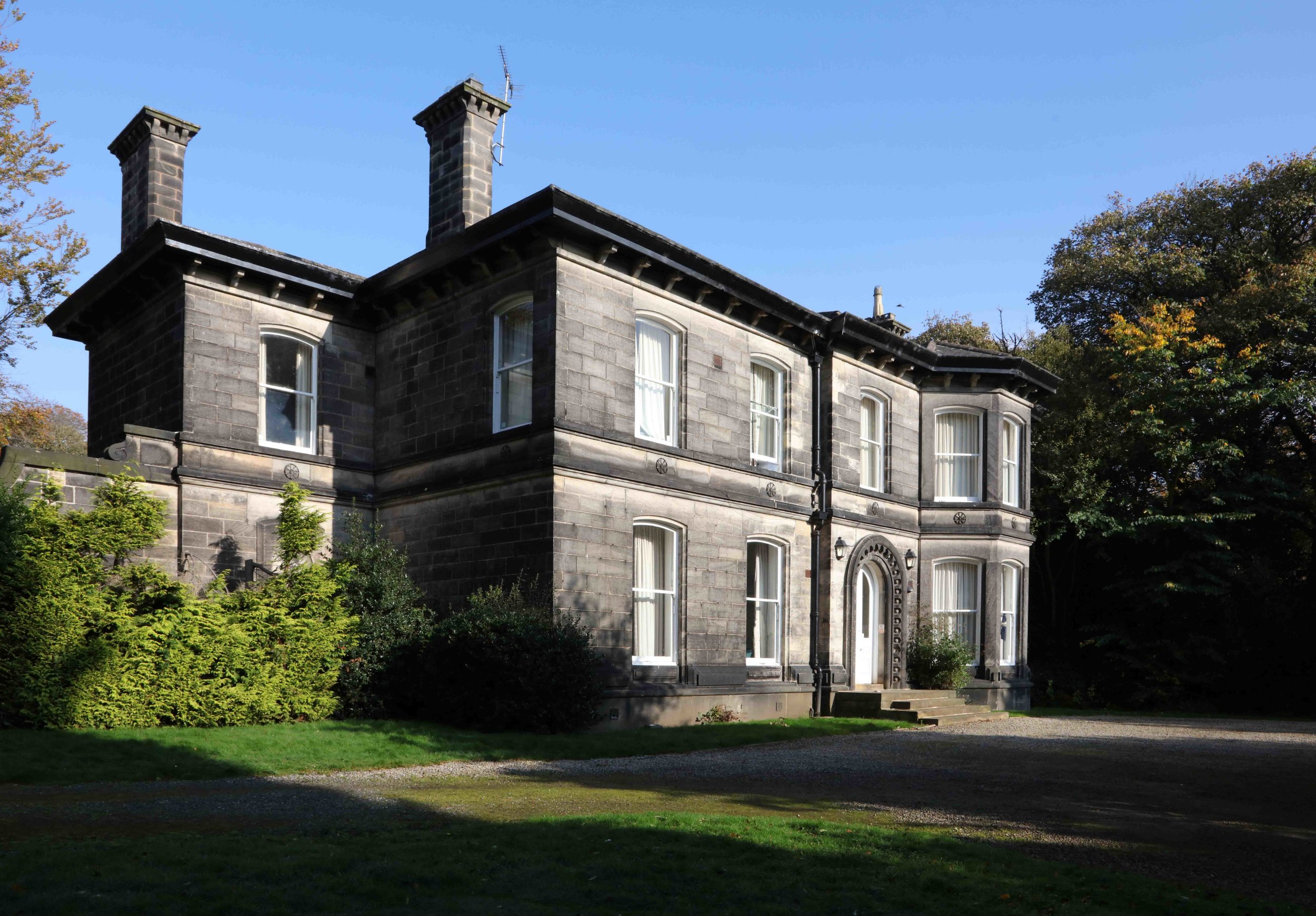
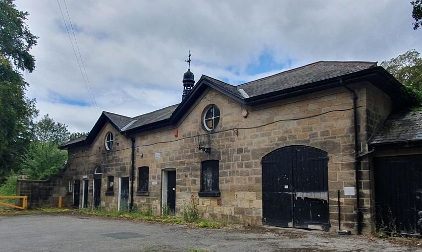
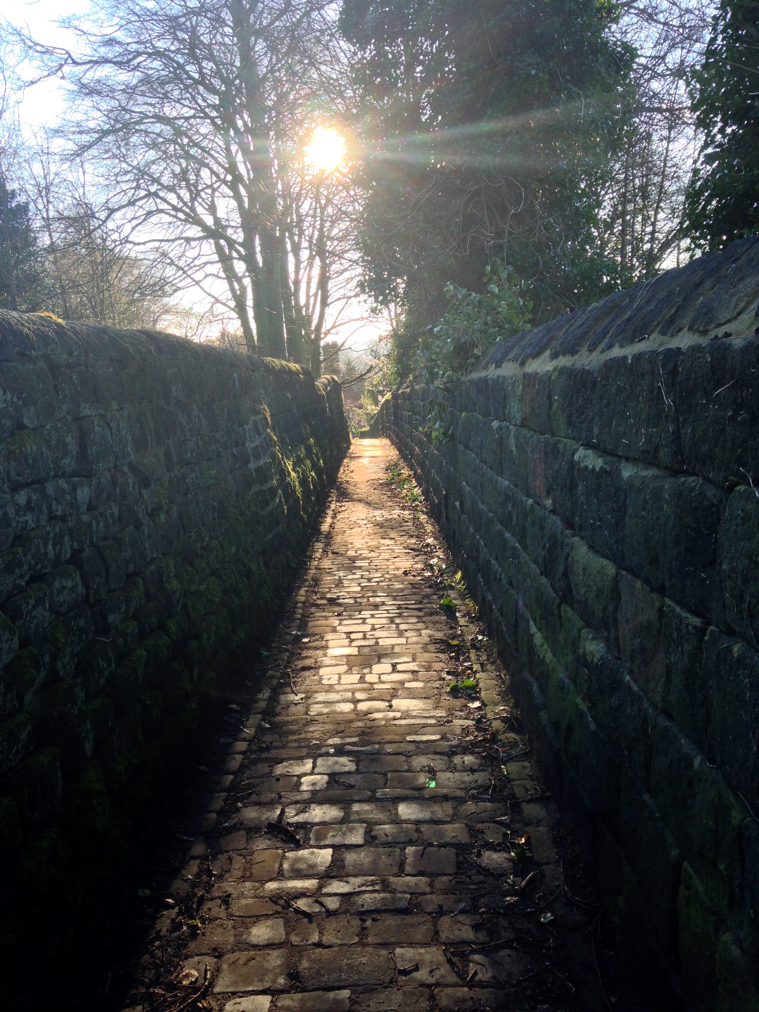
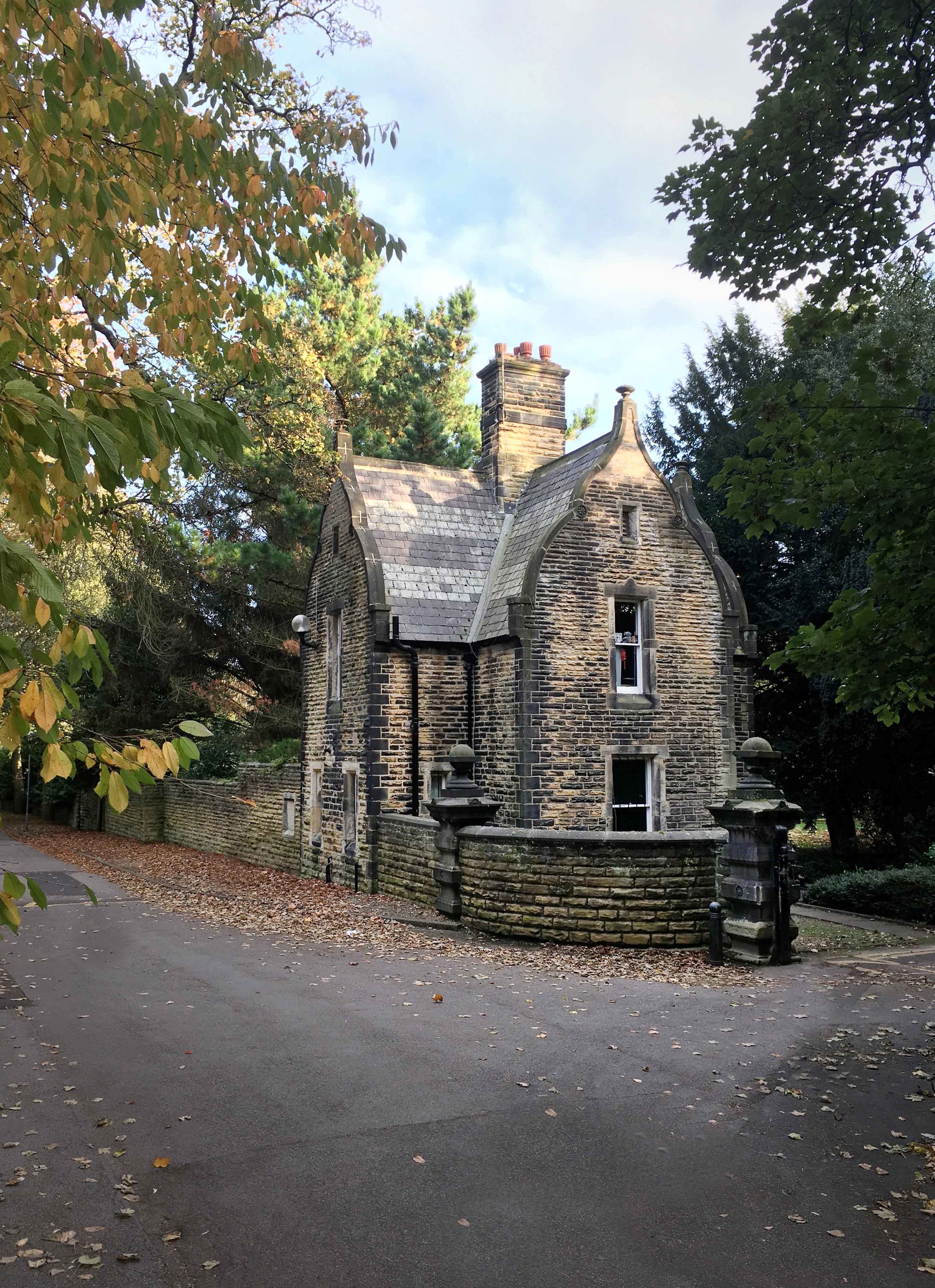
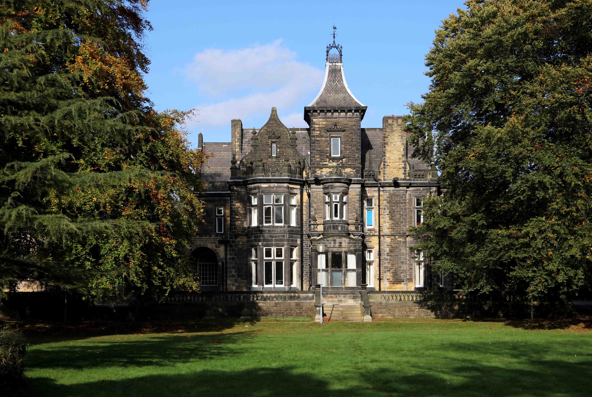
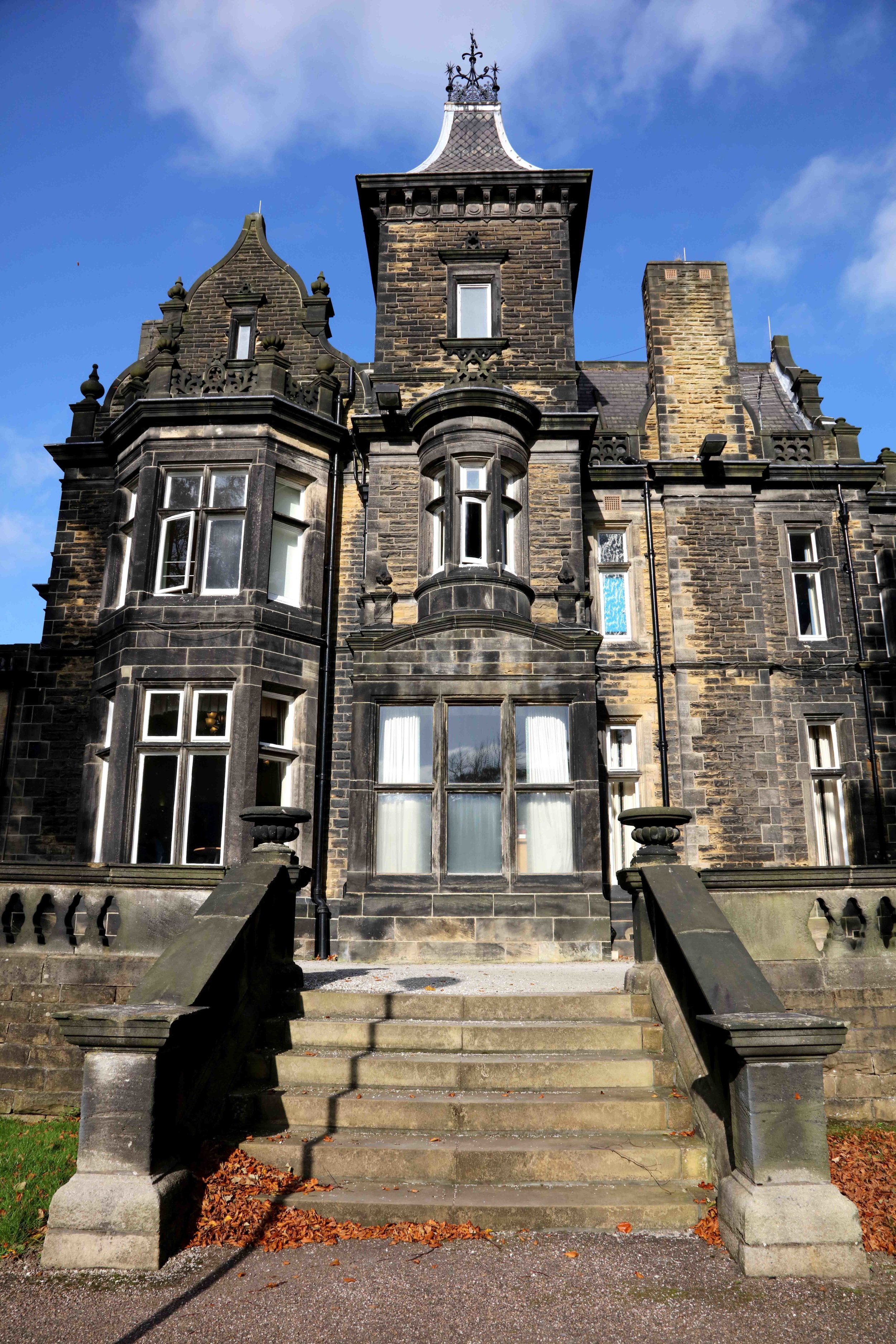
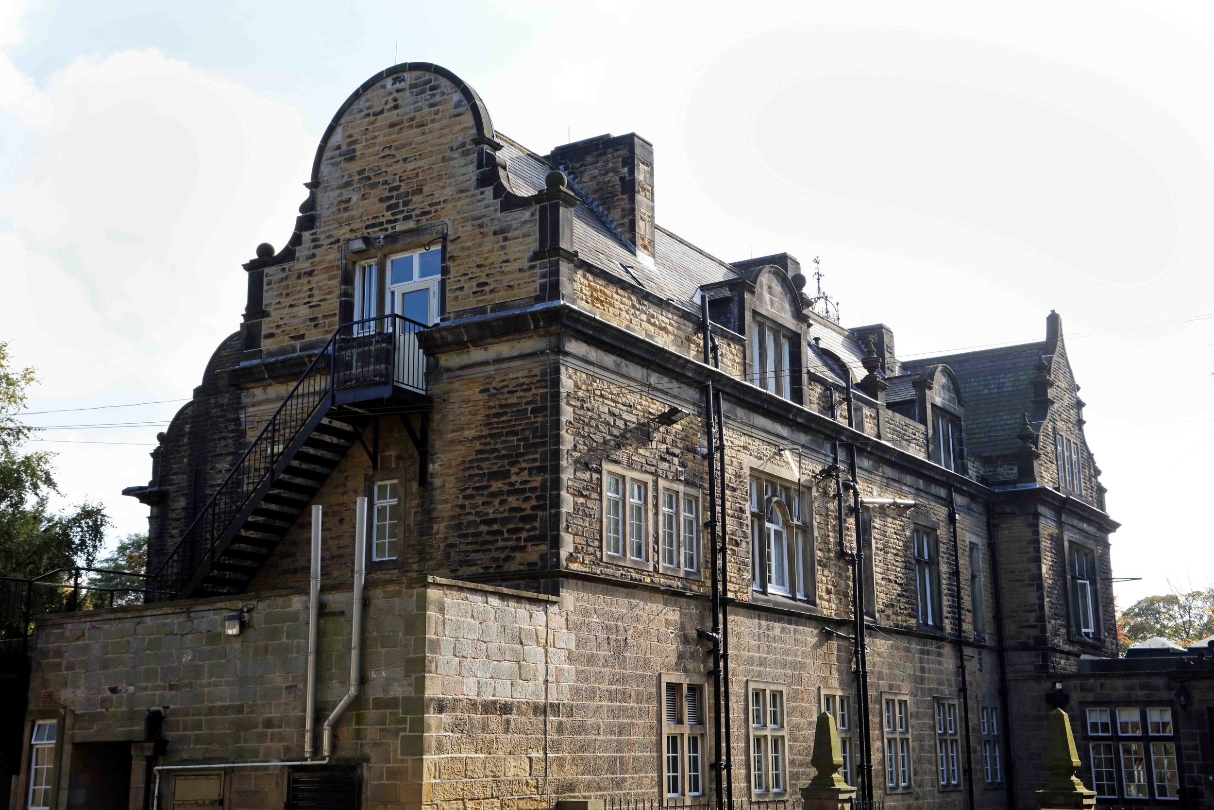
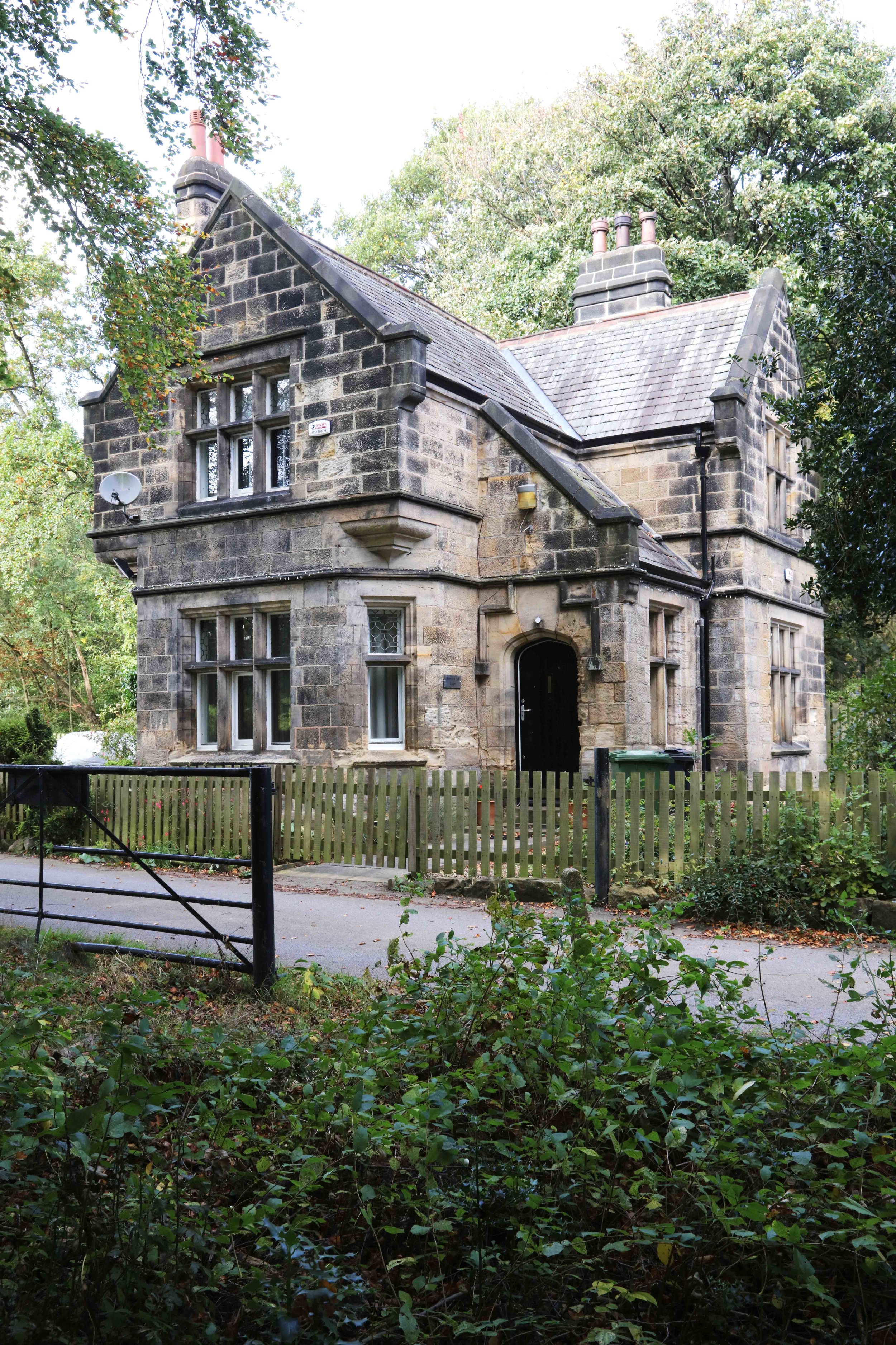
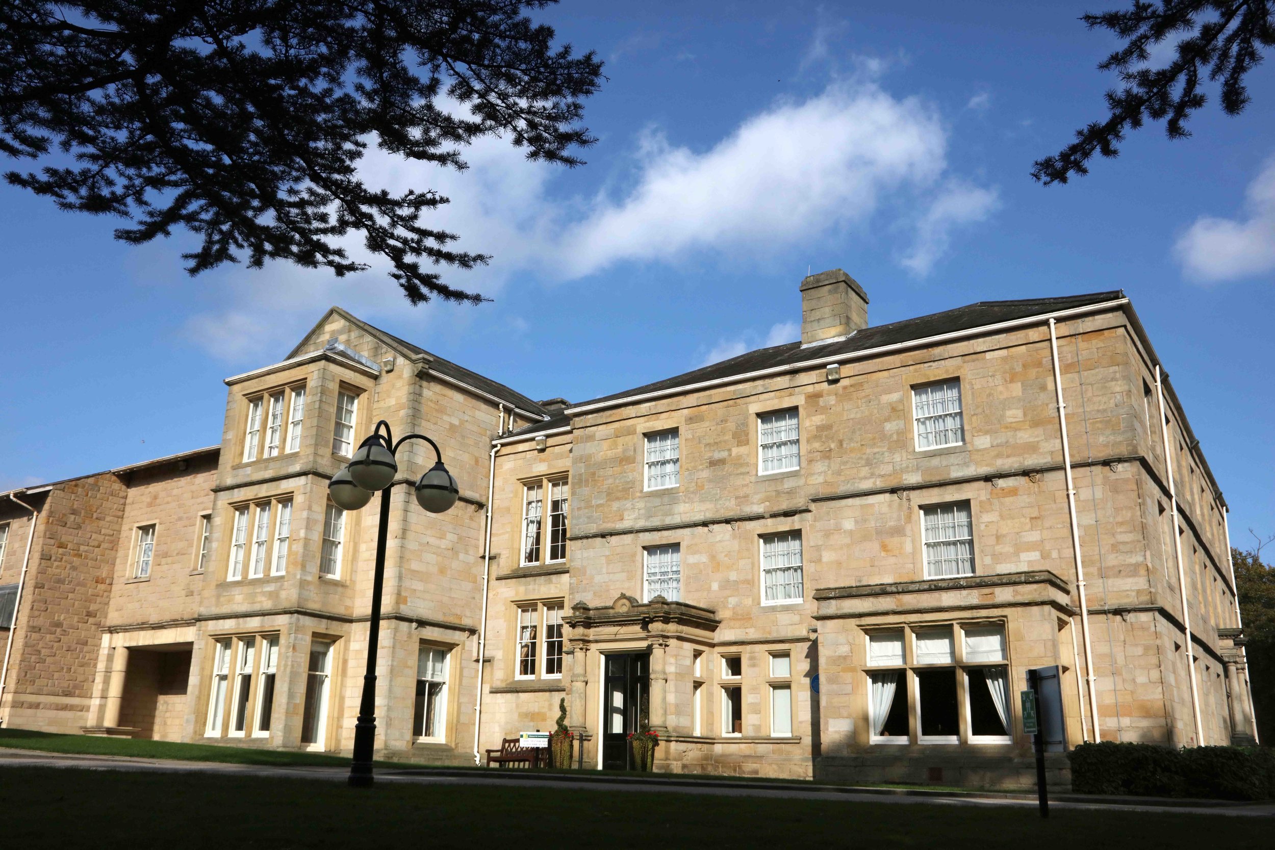
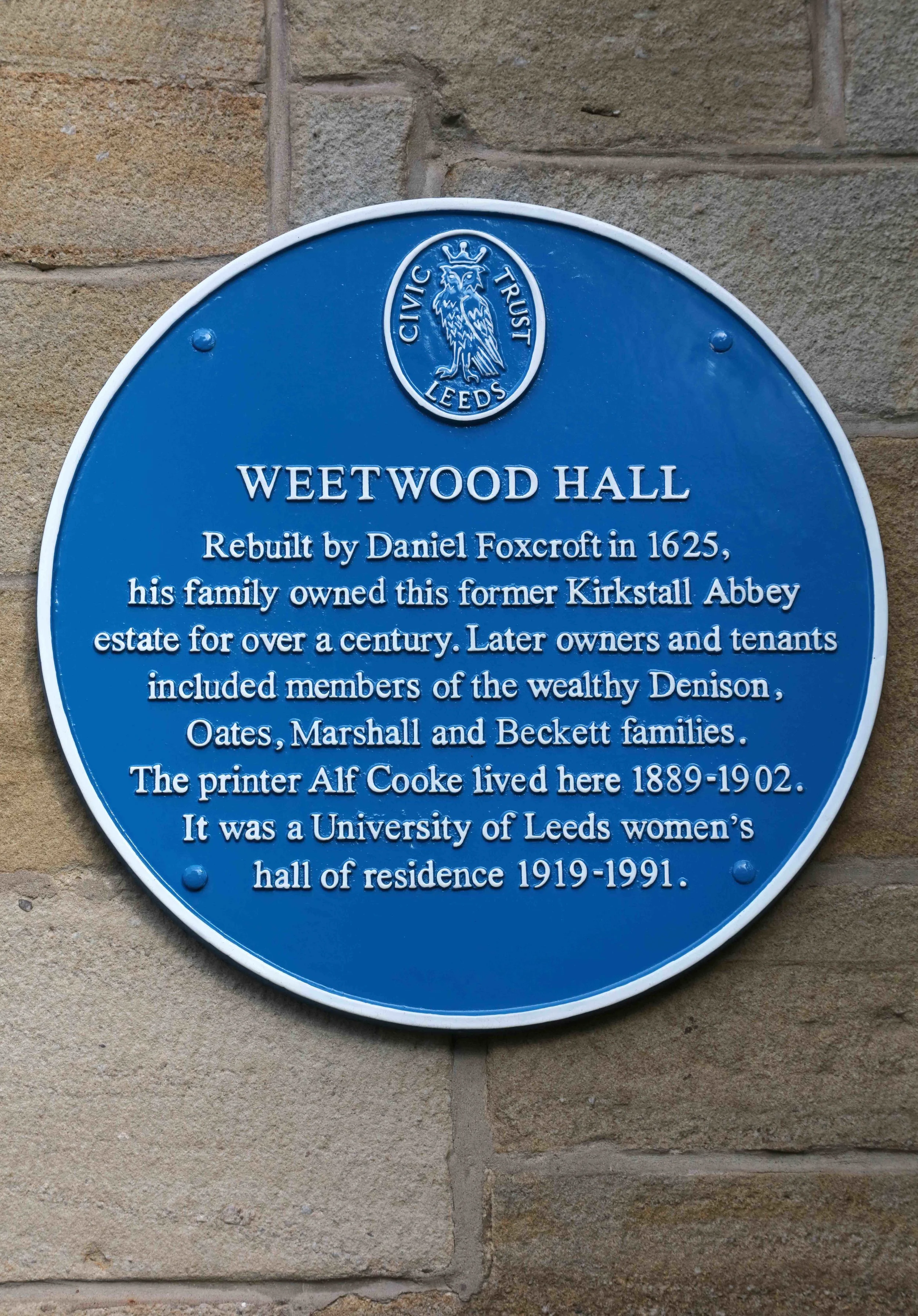
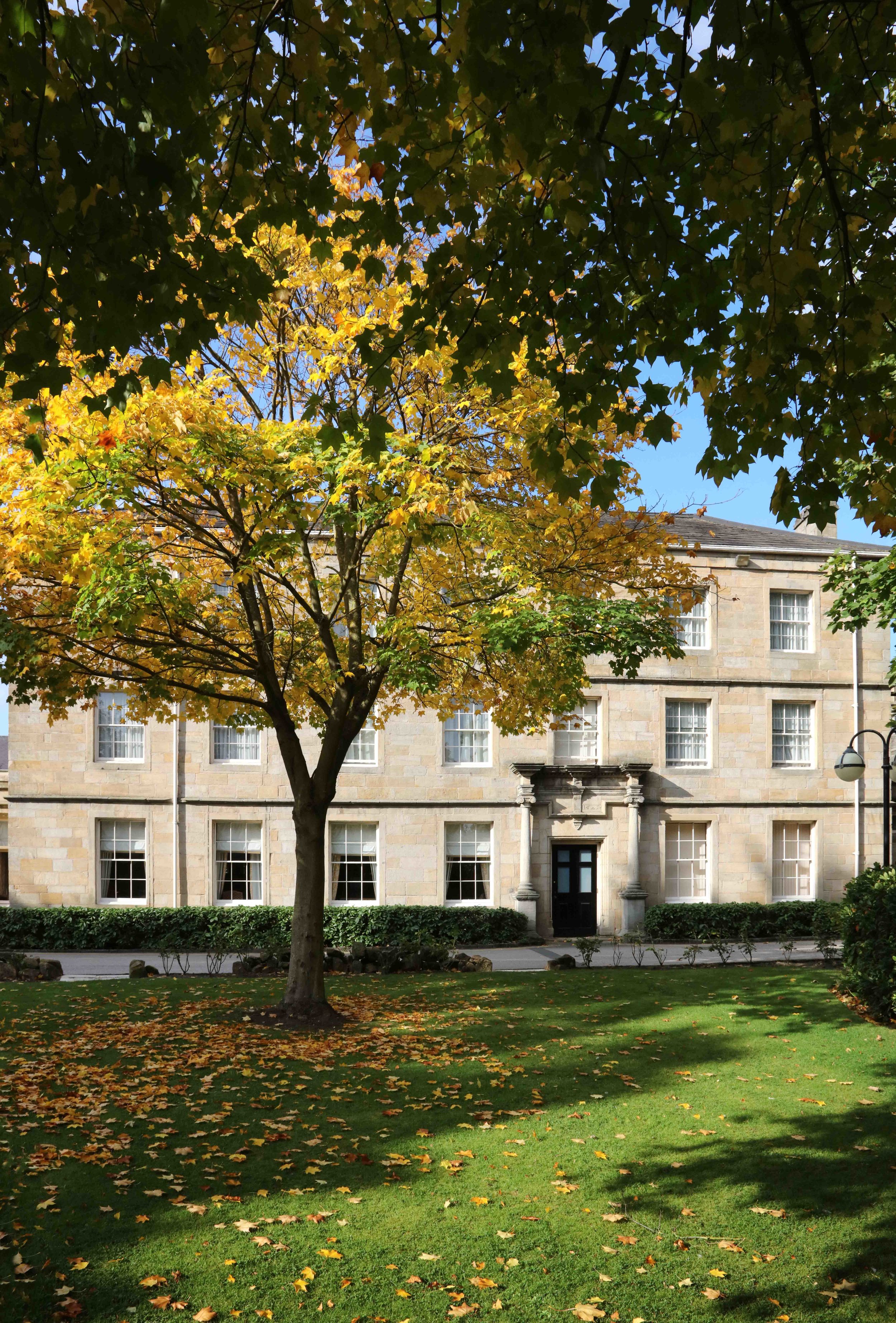
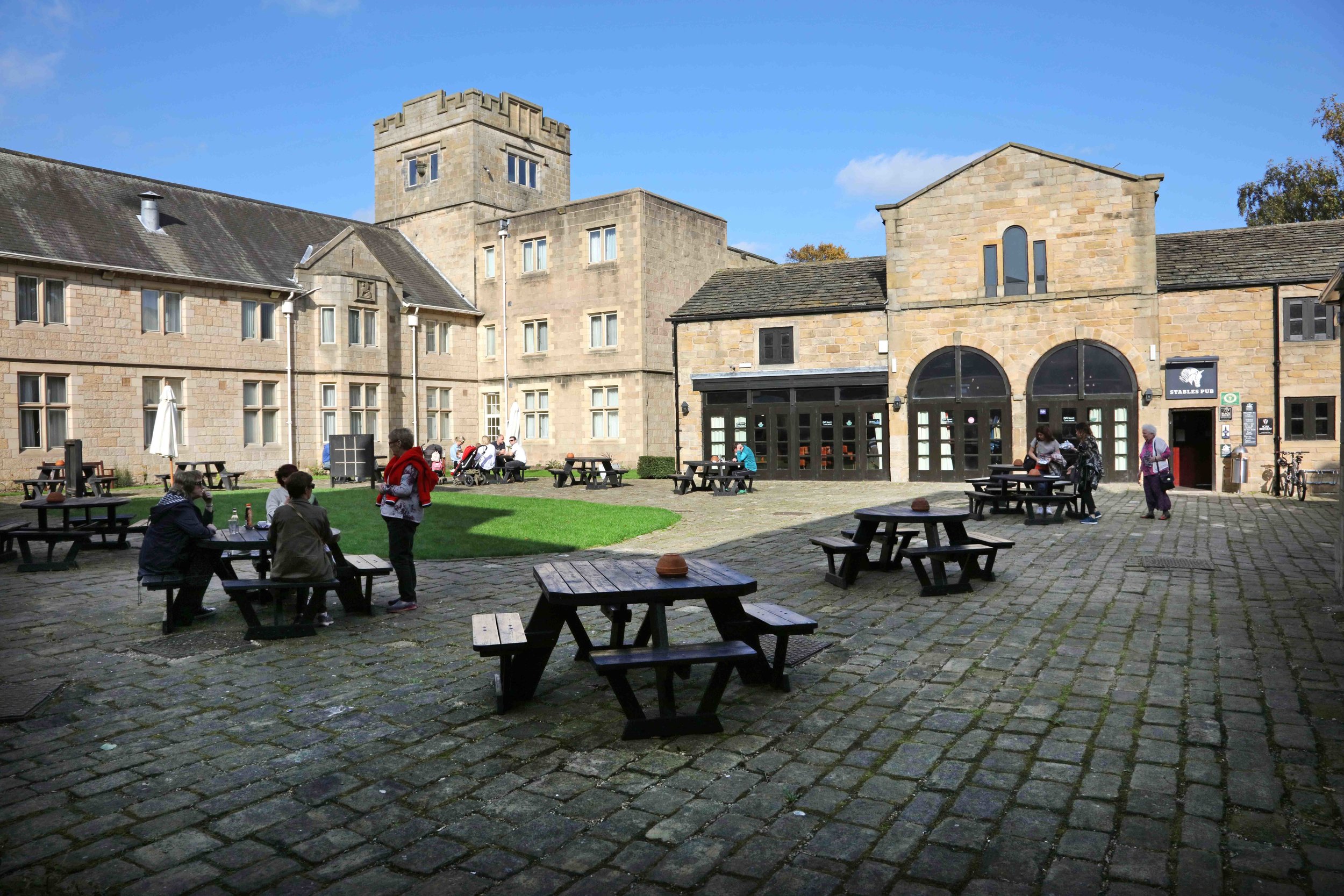
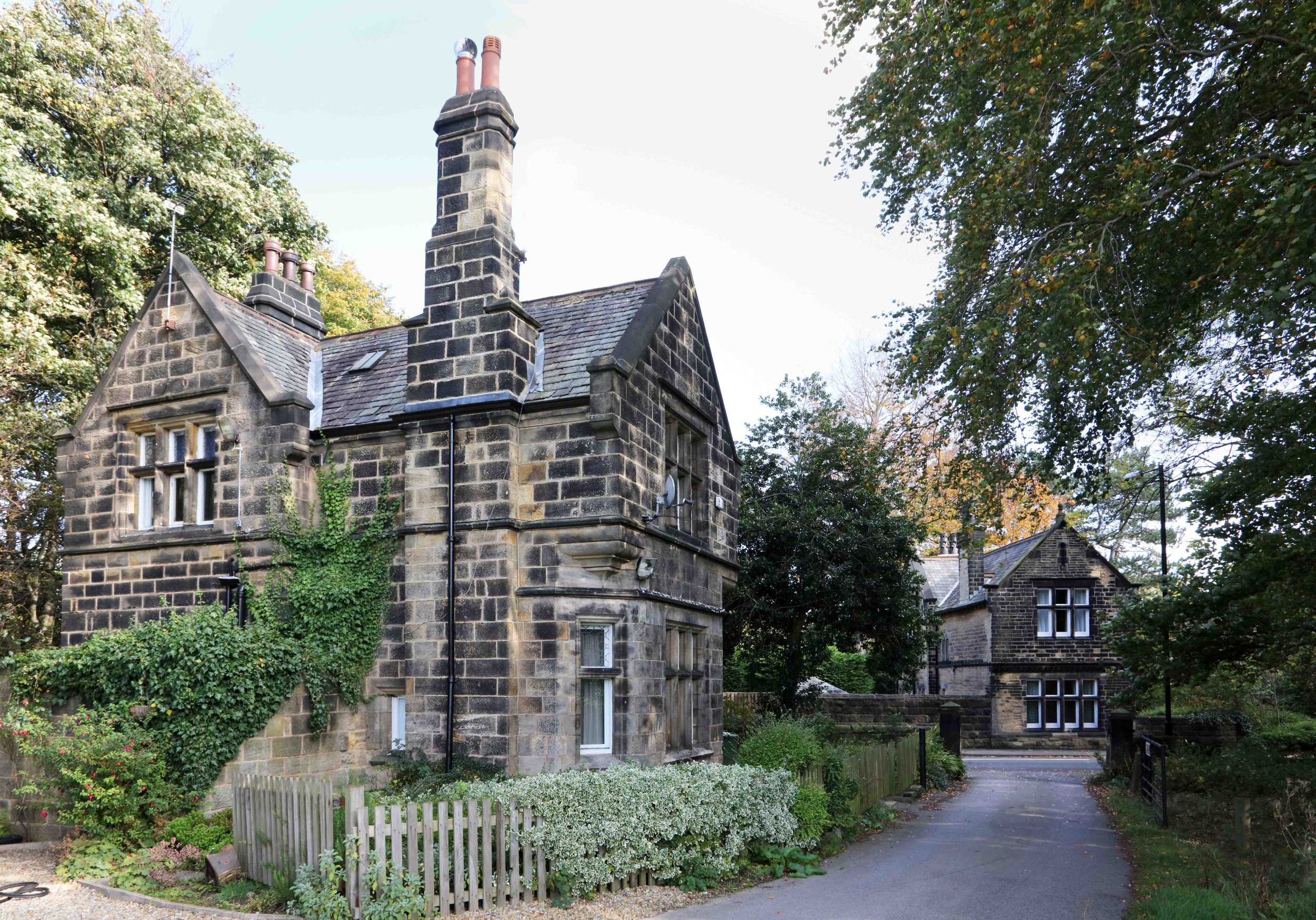
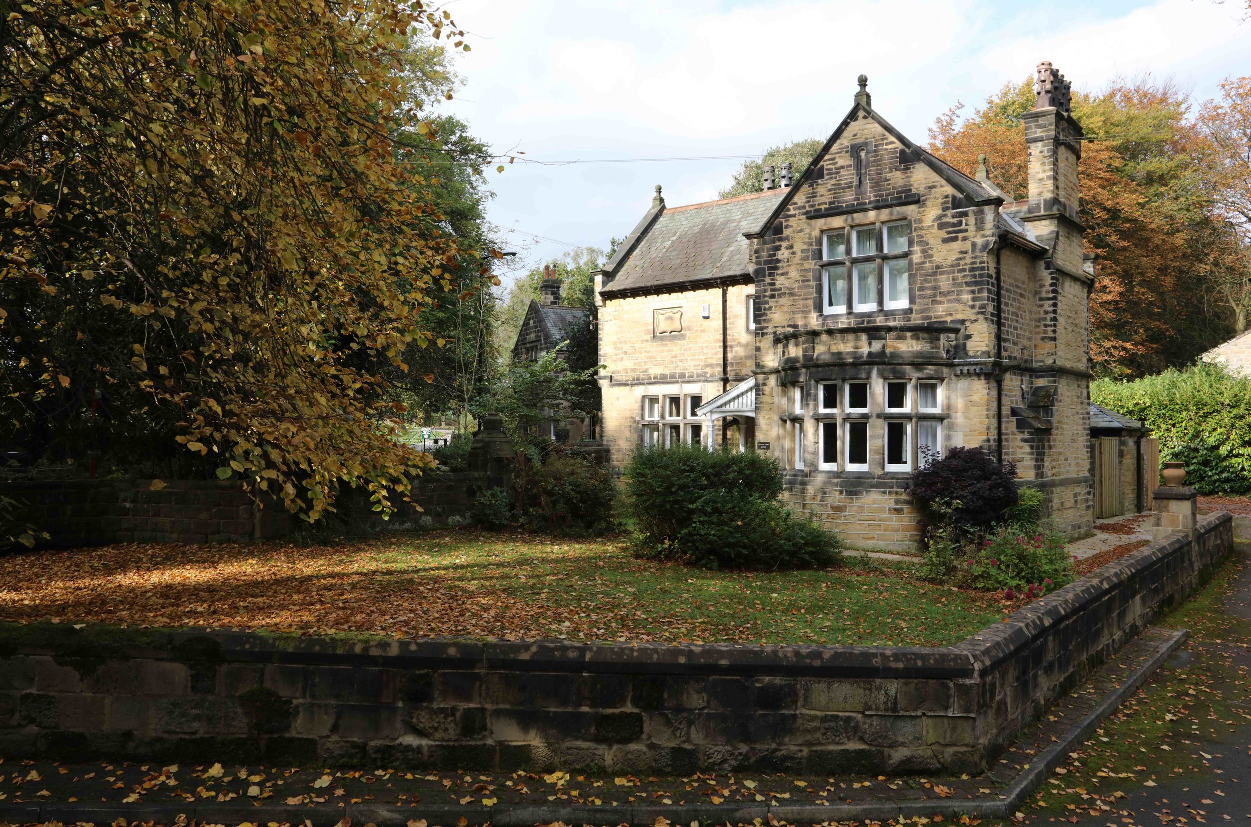
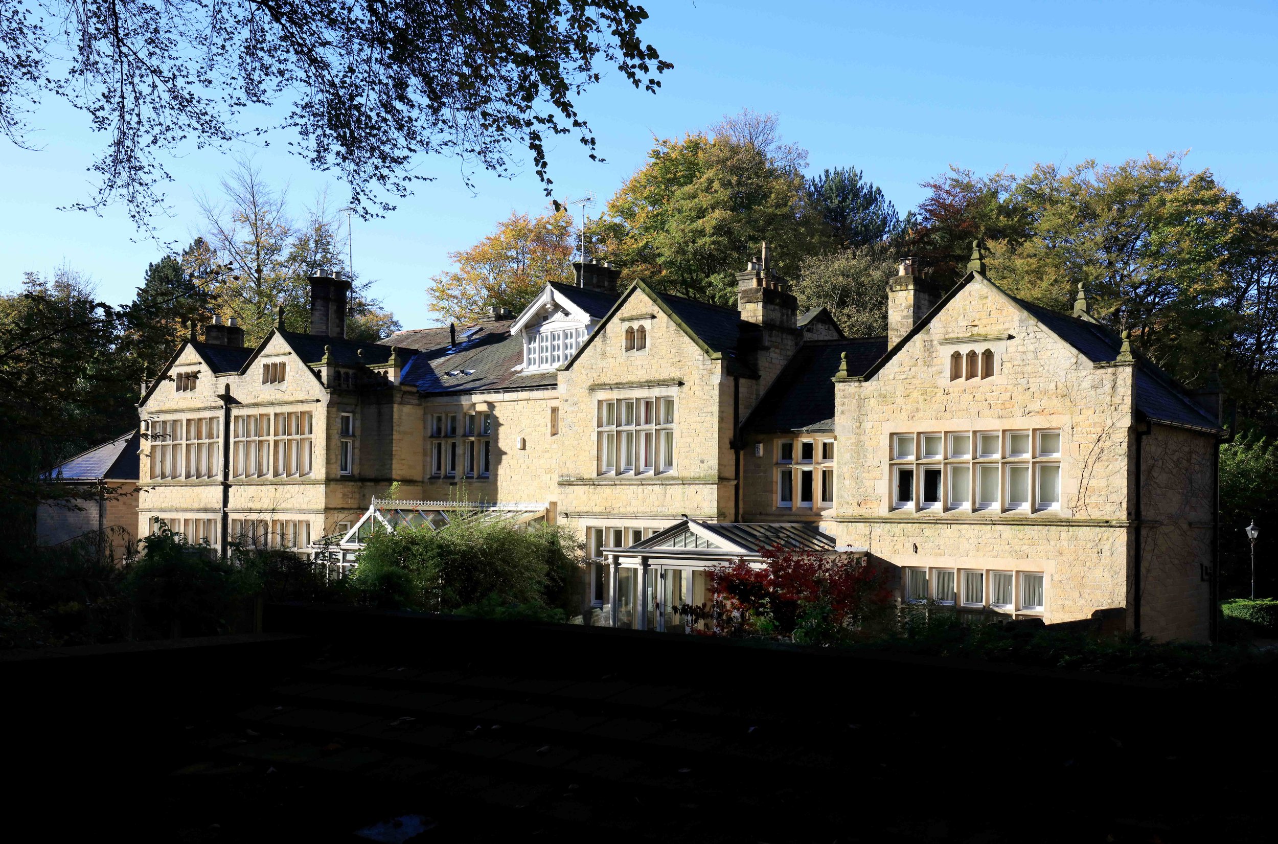
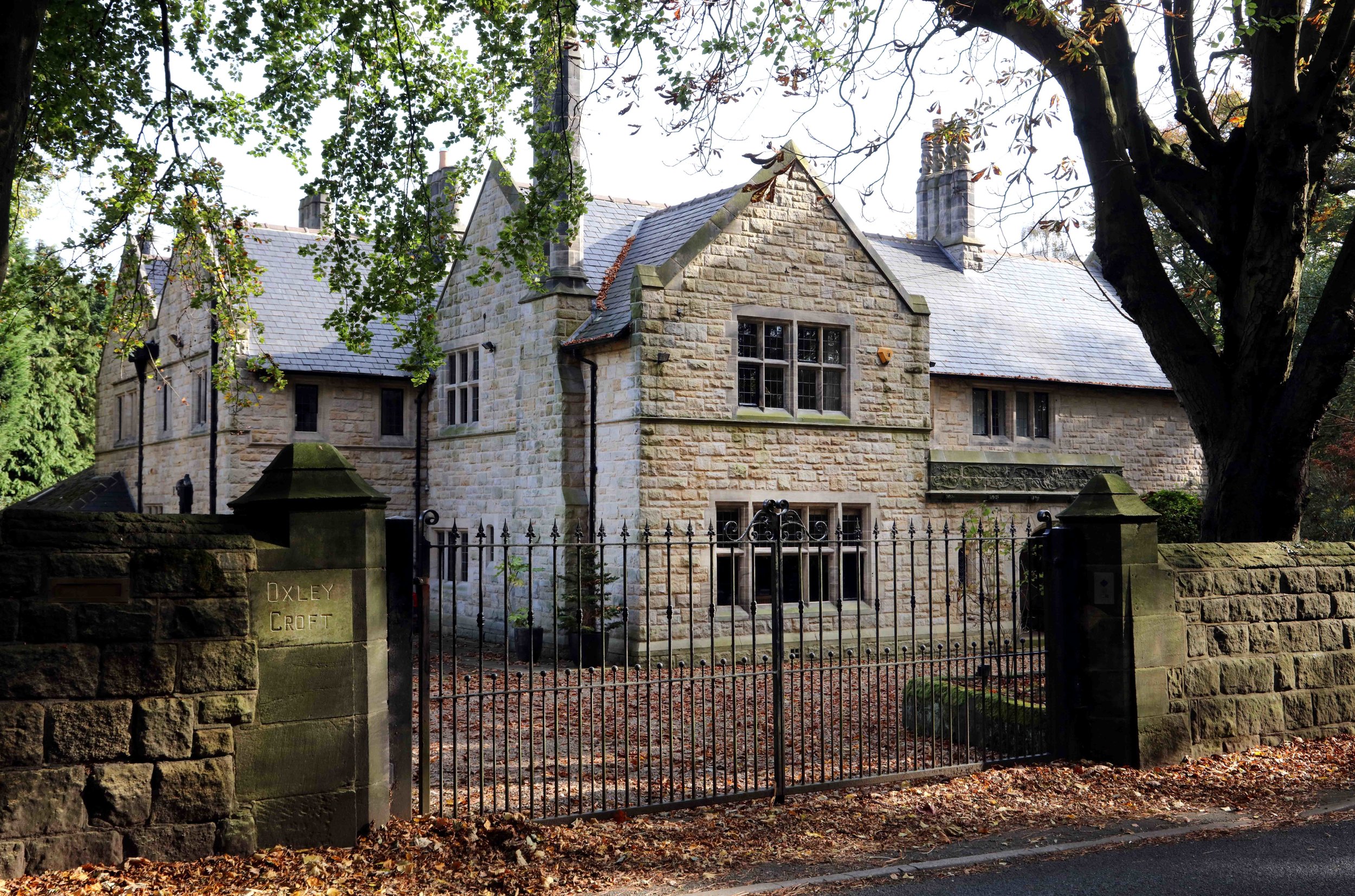
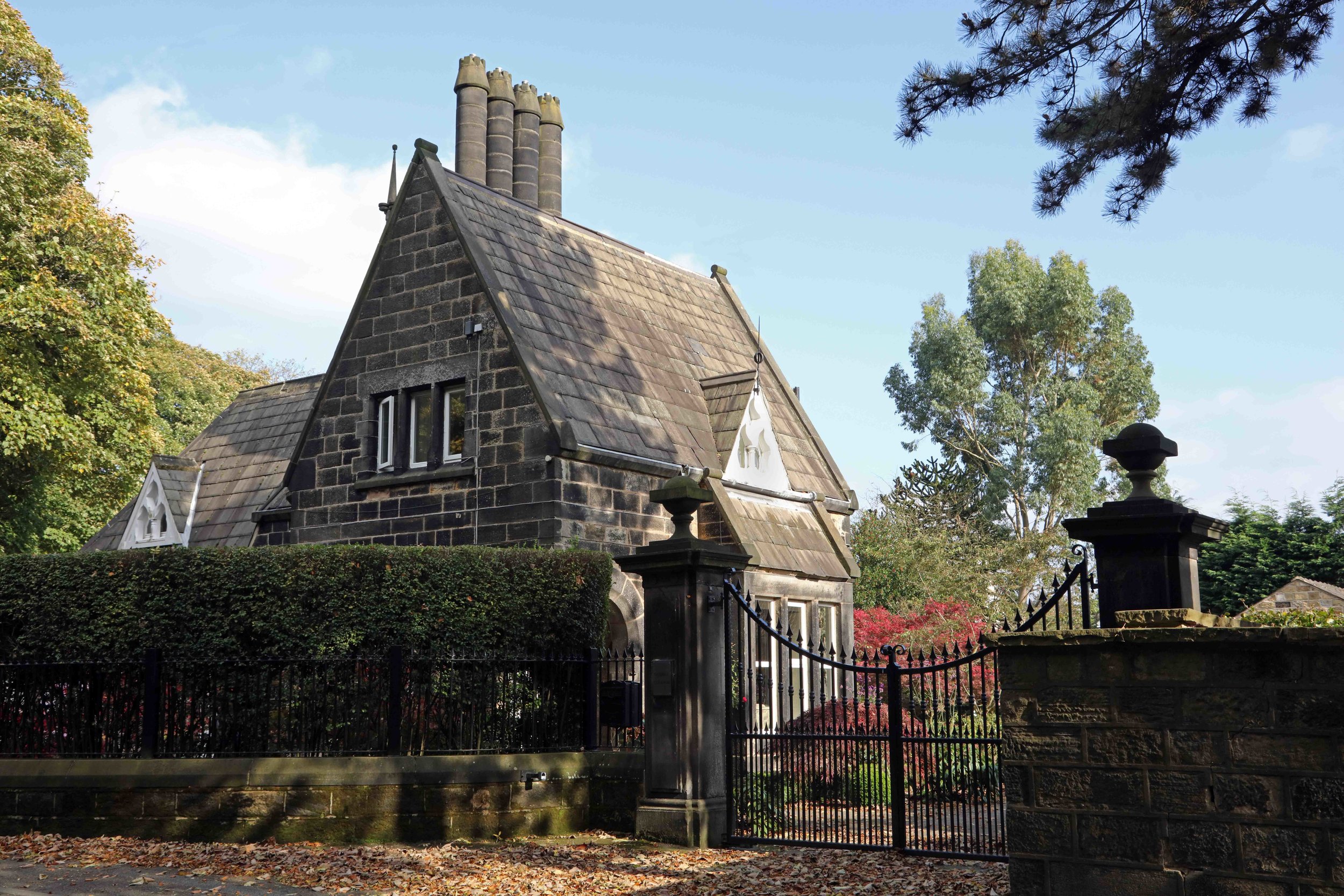
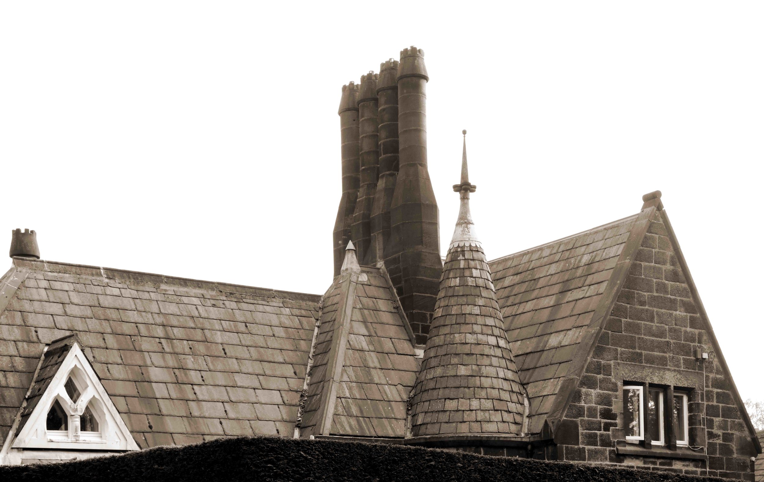
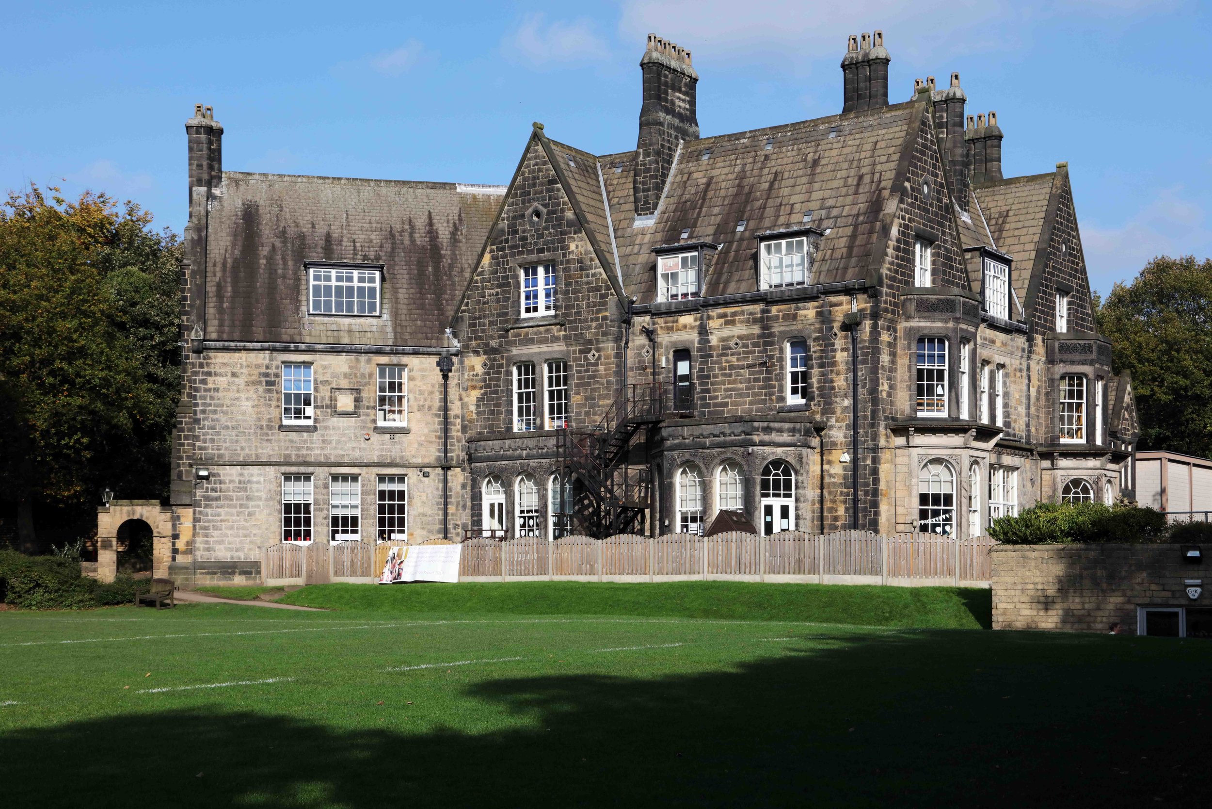
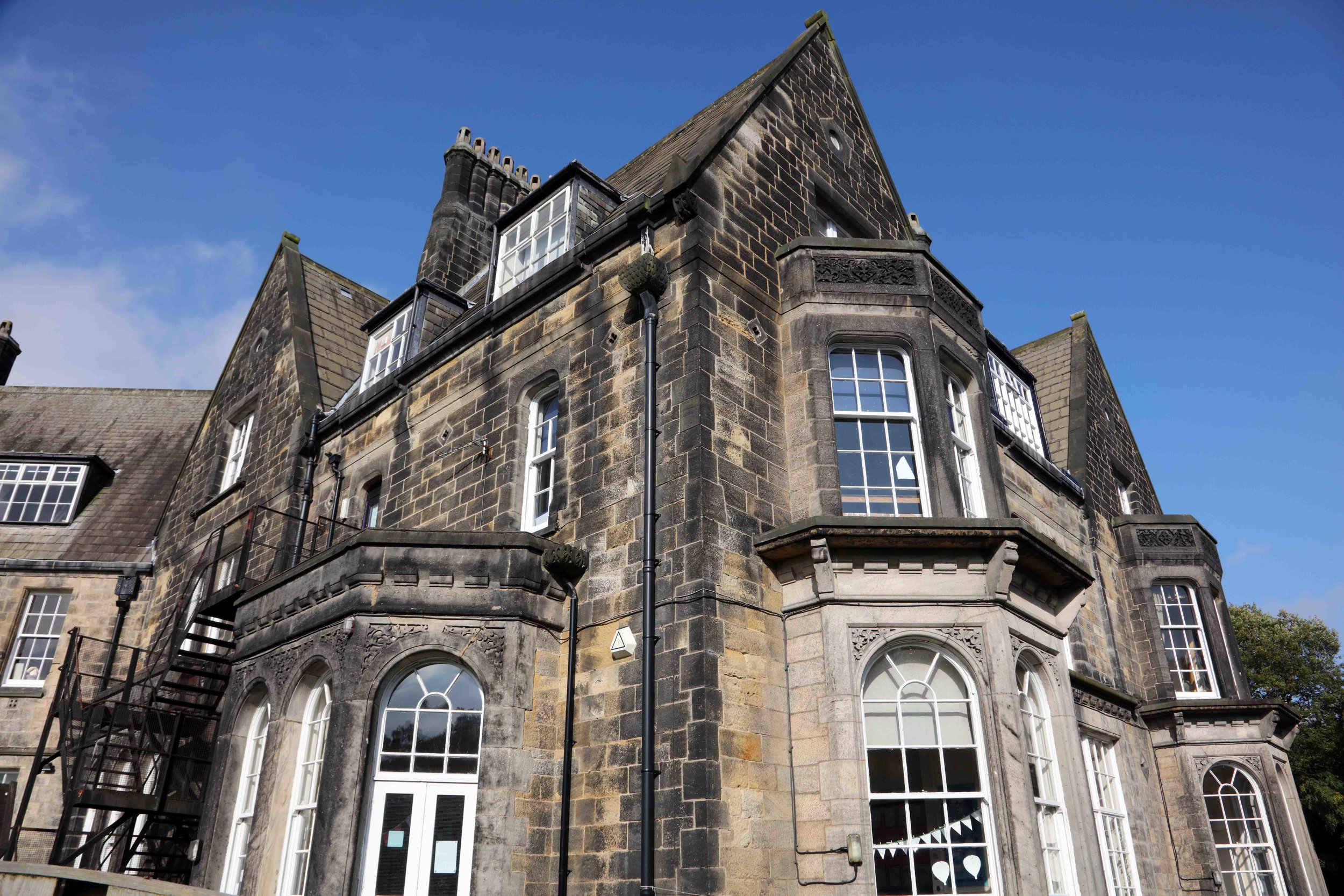
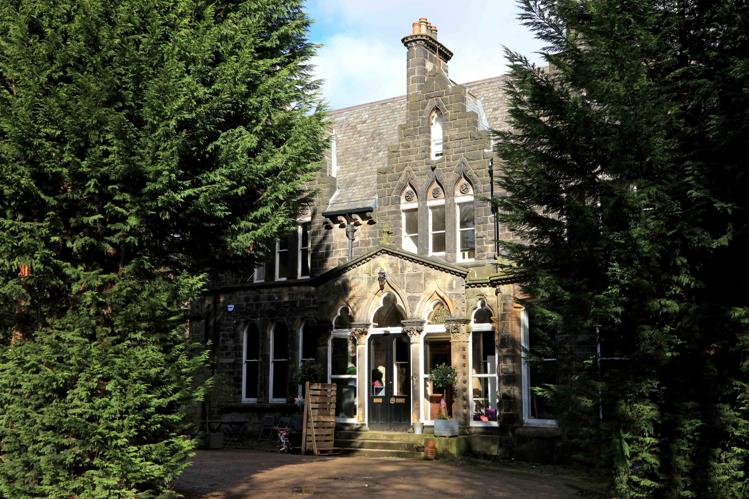
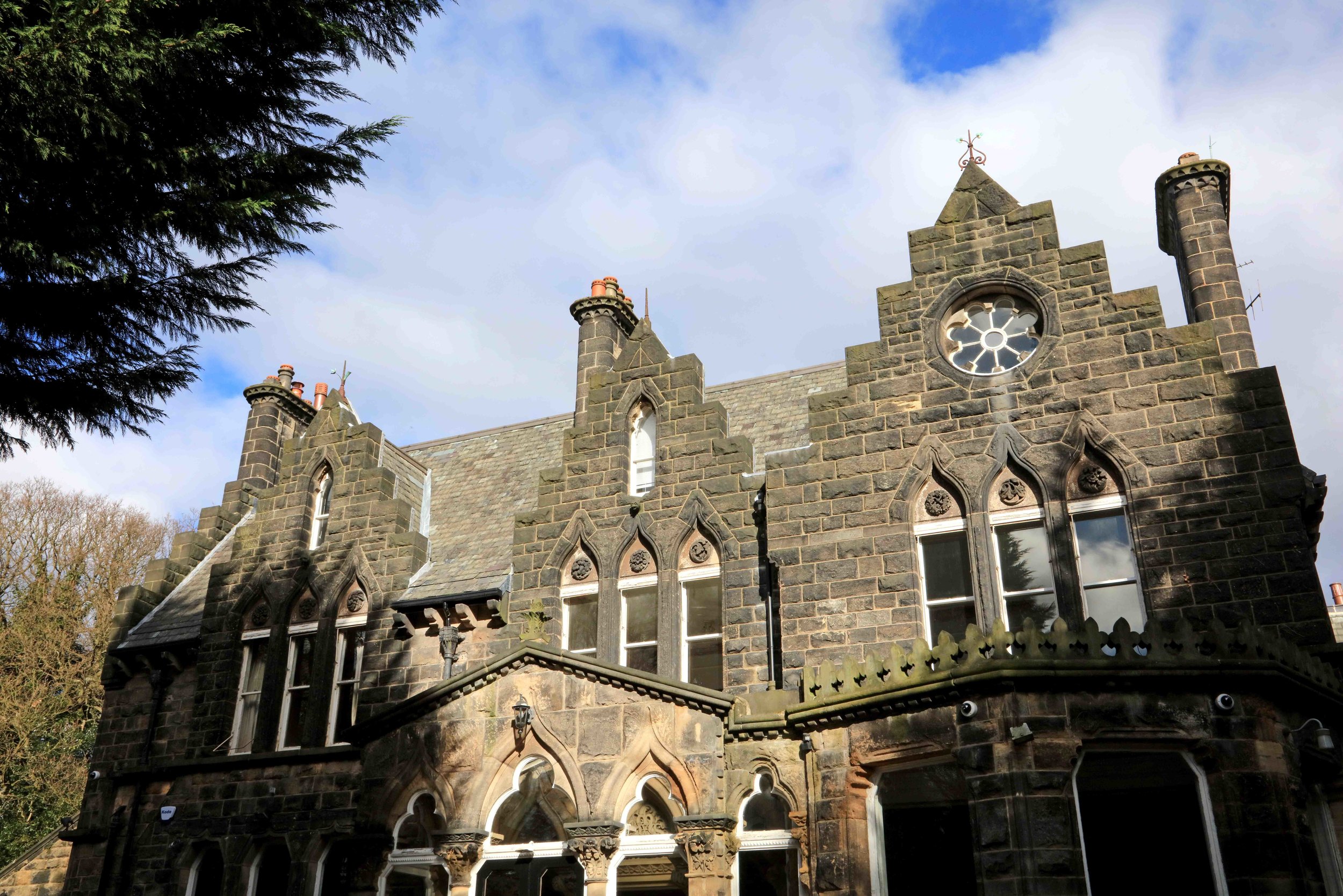
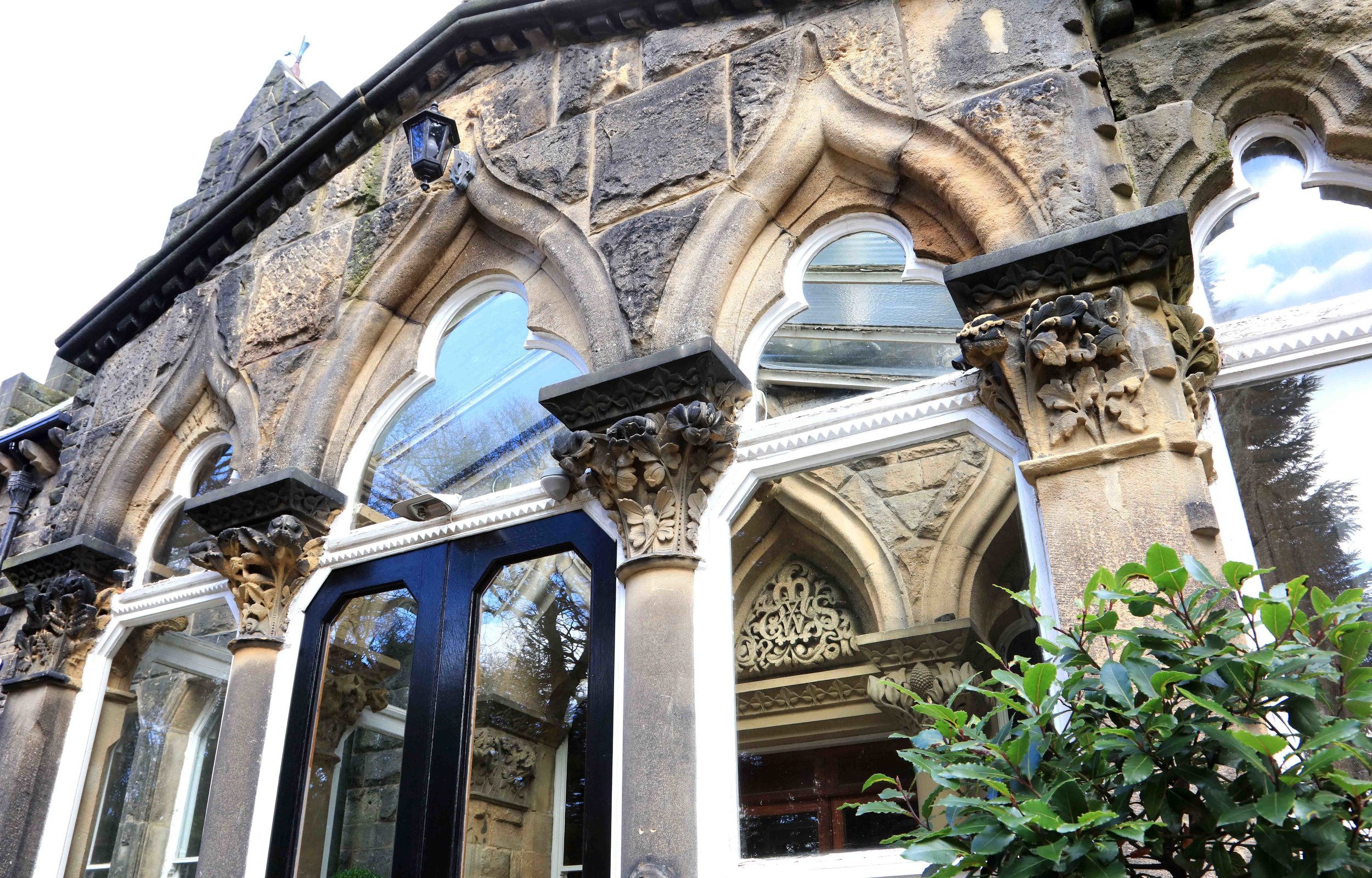
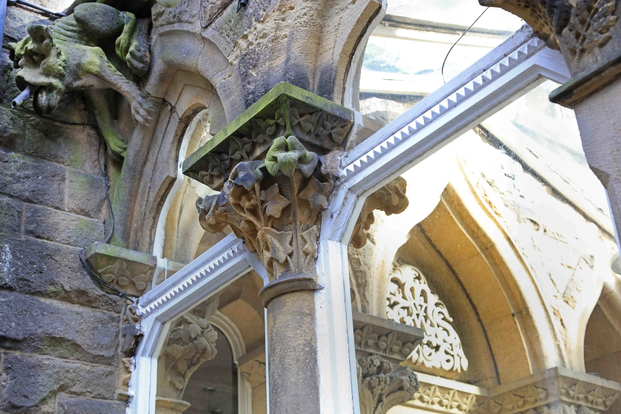
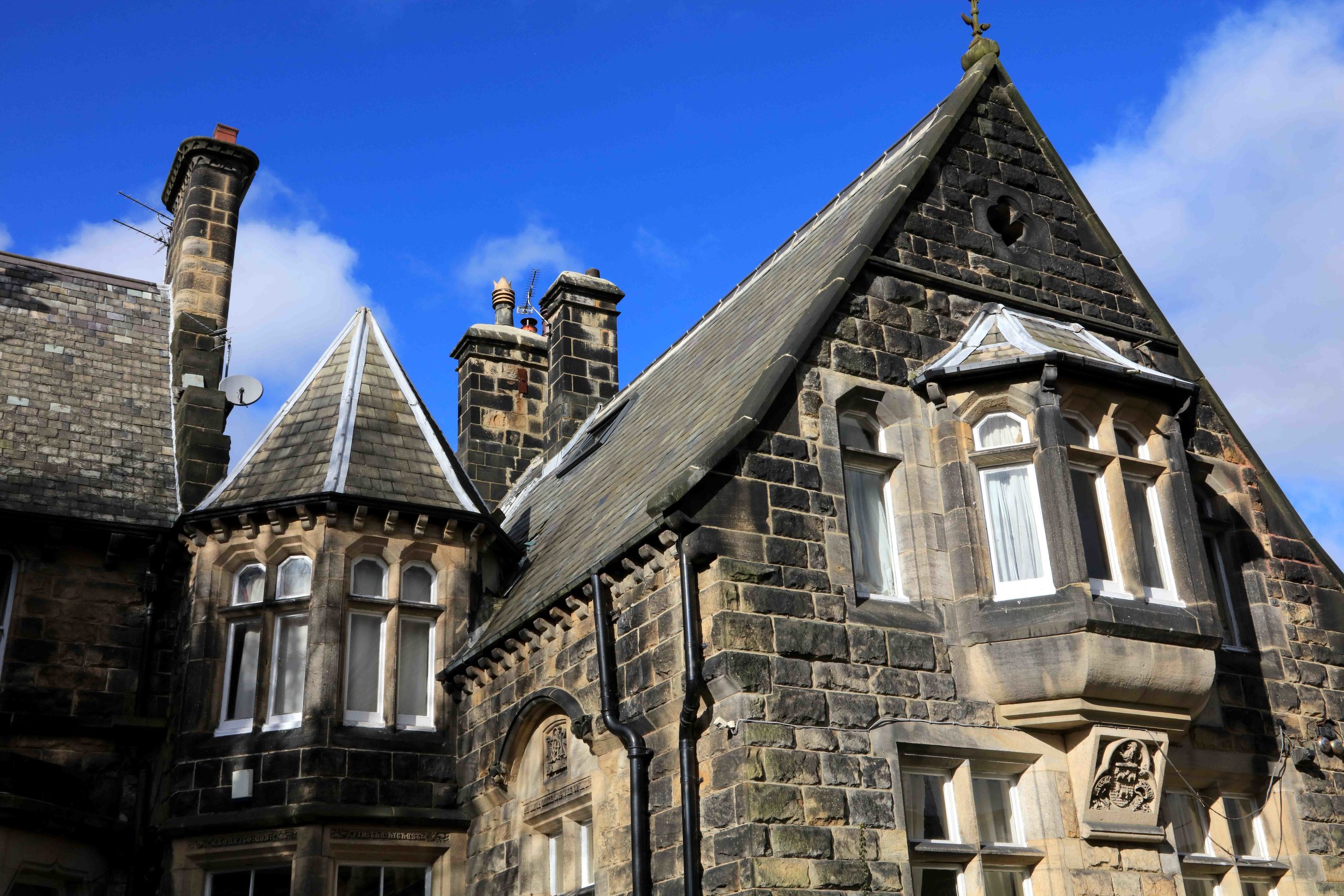
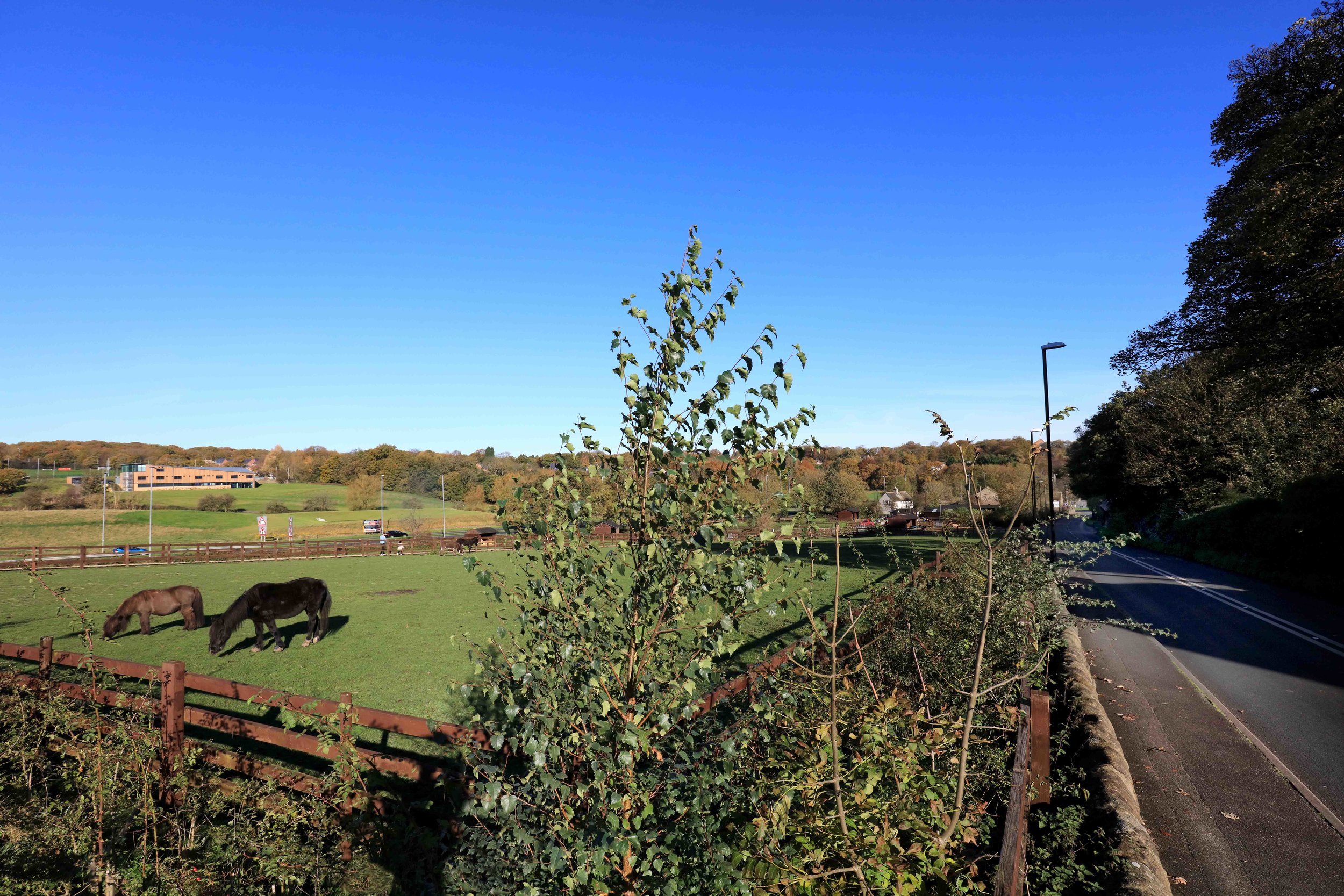
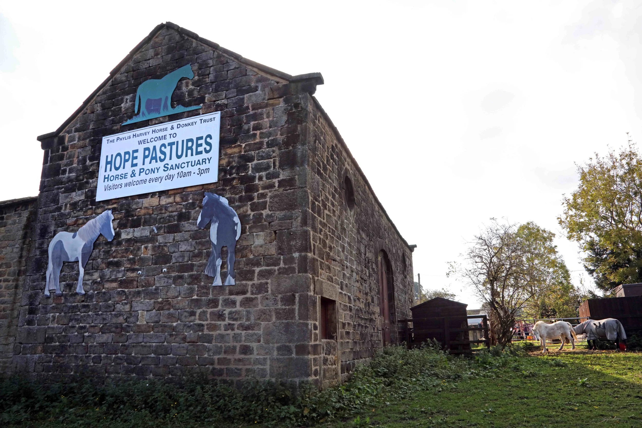
For a brief general description of the area, go to Weetwood North and Weetwood South; see also, Listed Buildings in both Weetwood South and Weetwood North. Weetwood is a residential neighbourhood, adjacent to Far Headingley shopping centre, and with Weetwood primary school. It benefits from two local parks, The Hollies and Meanwood Park. And two walks explore the area, Wandering through Weetwood along the Lane and A Millside Meander along the Beck. The local Bus (28) connects to town, and for visitors, there is the local Weetwood Hall hotel.
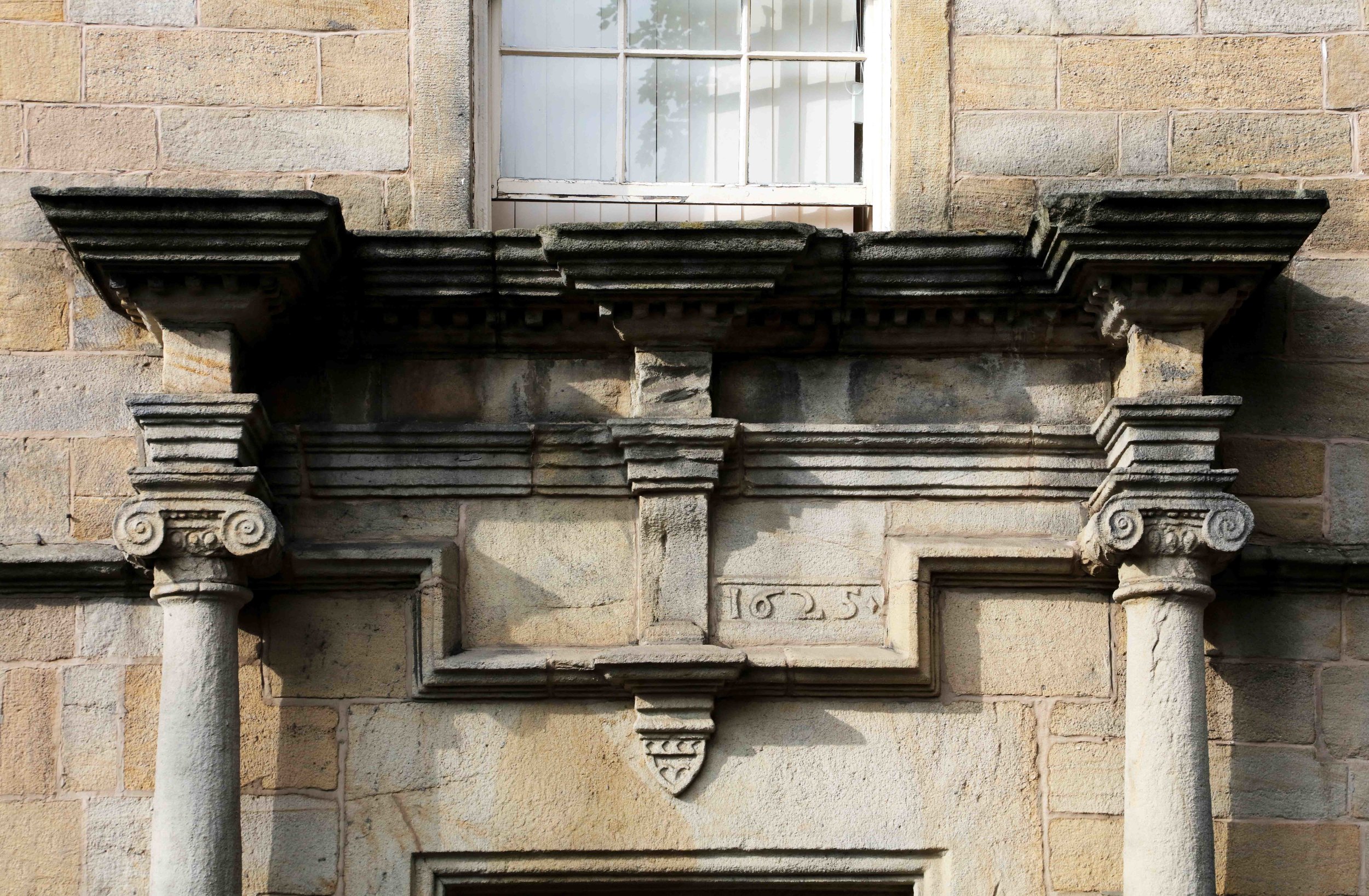
Photographs by kind permission of Jerry Hardman-Jones (JHJ), Lynne Strutt (LS) and Richard Tyler (RT). Photographs are subject to copyright and should not be reproduced without the owner's permission.
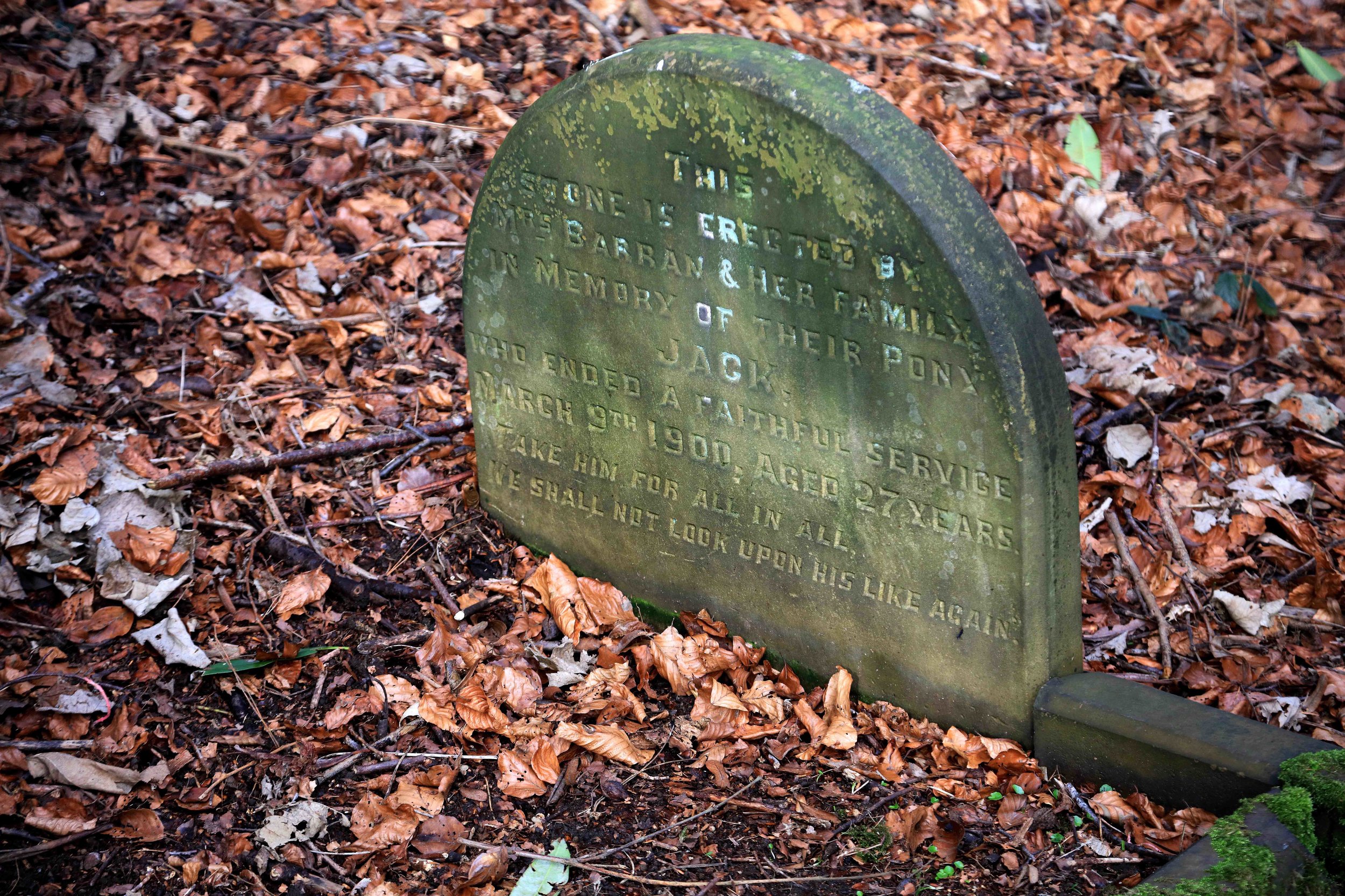
For historic photographs of the area, go to Historic Weetwood. For other neighbourhoods, go to Headingley Now.
Those interested in the area may like to join Weetwood Residents Association or Foxhill Residents Association.
