
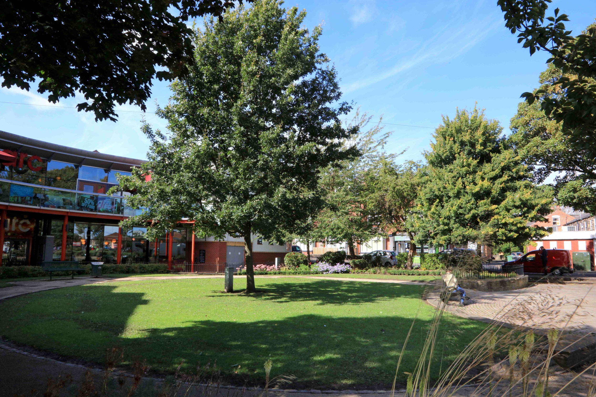
Headingley centre
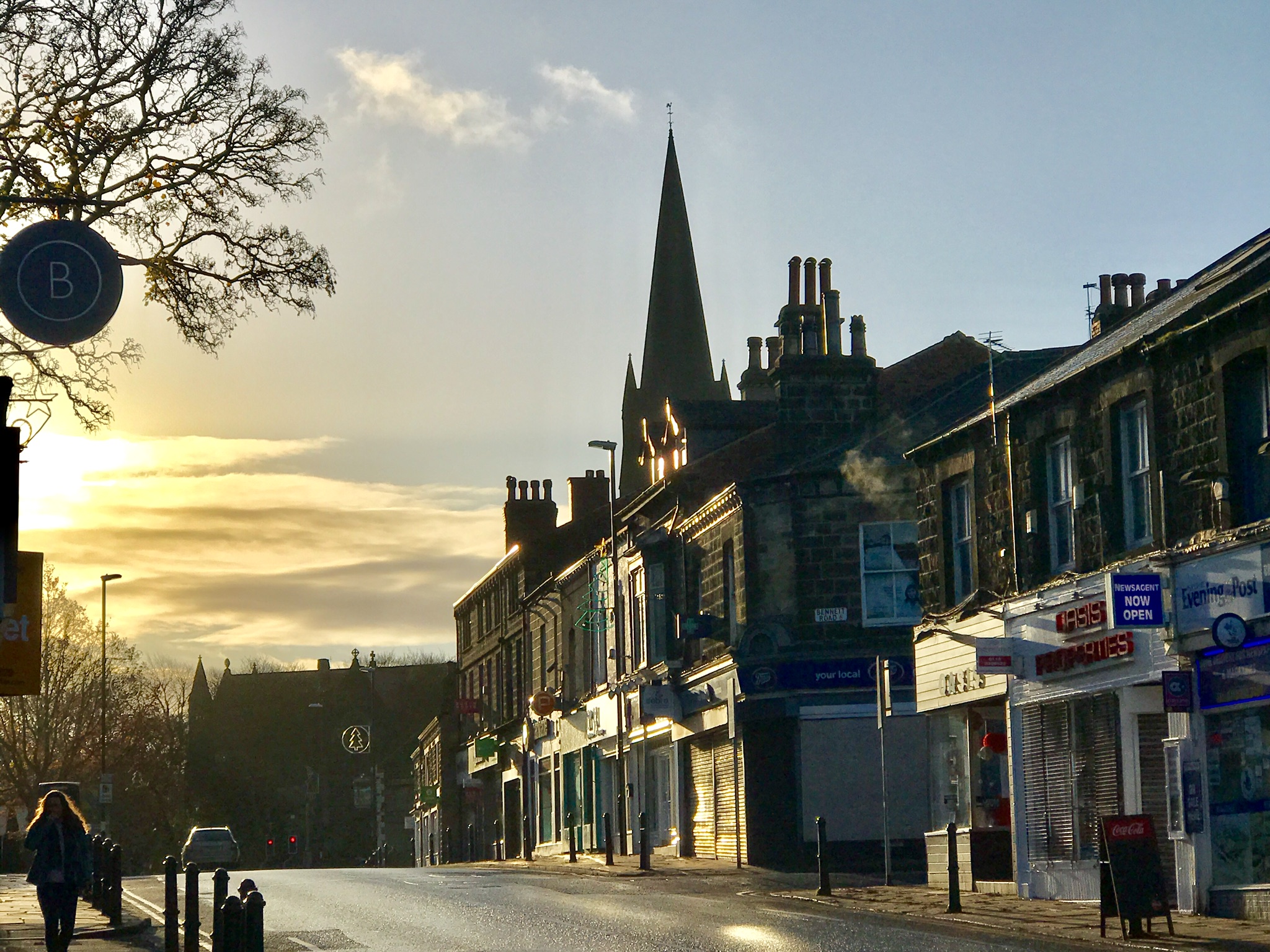

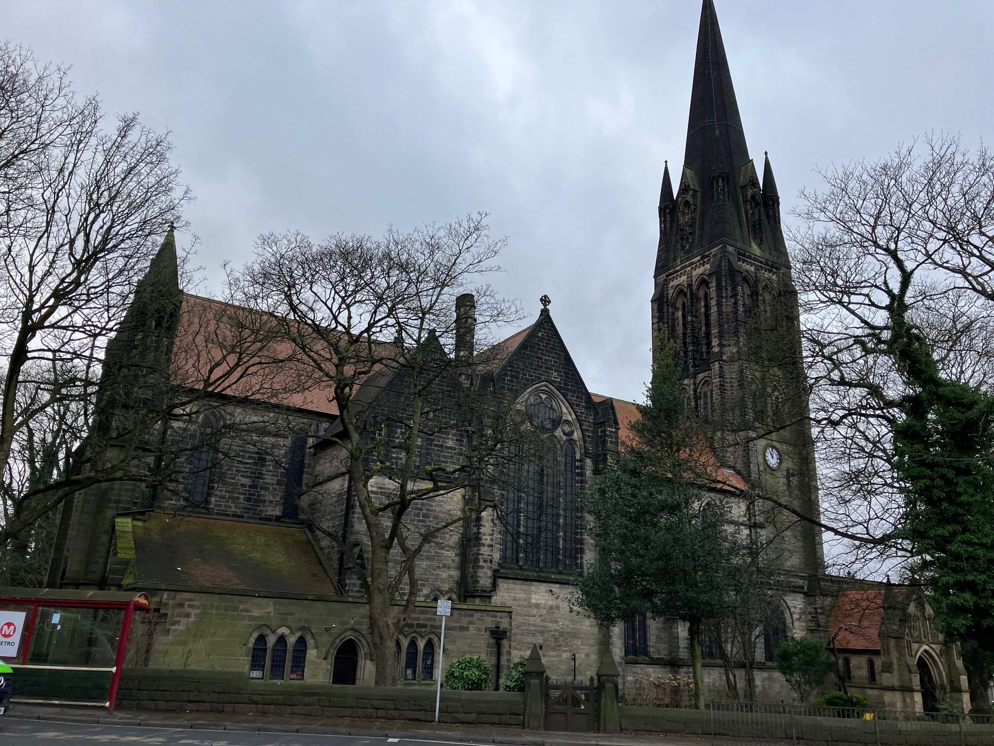
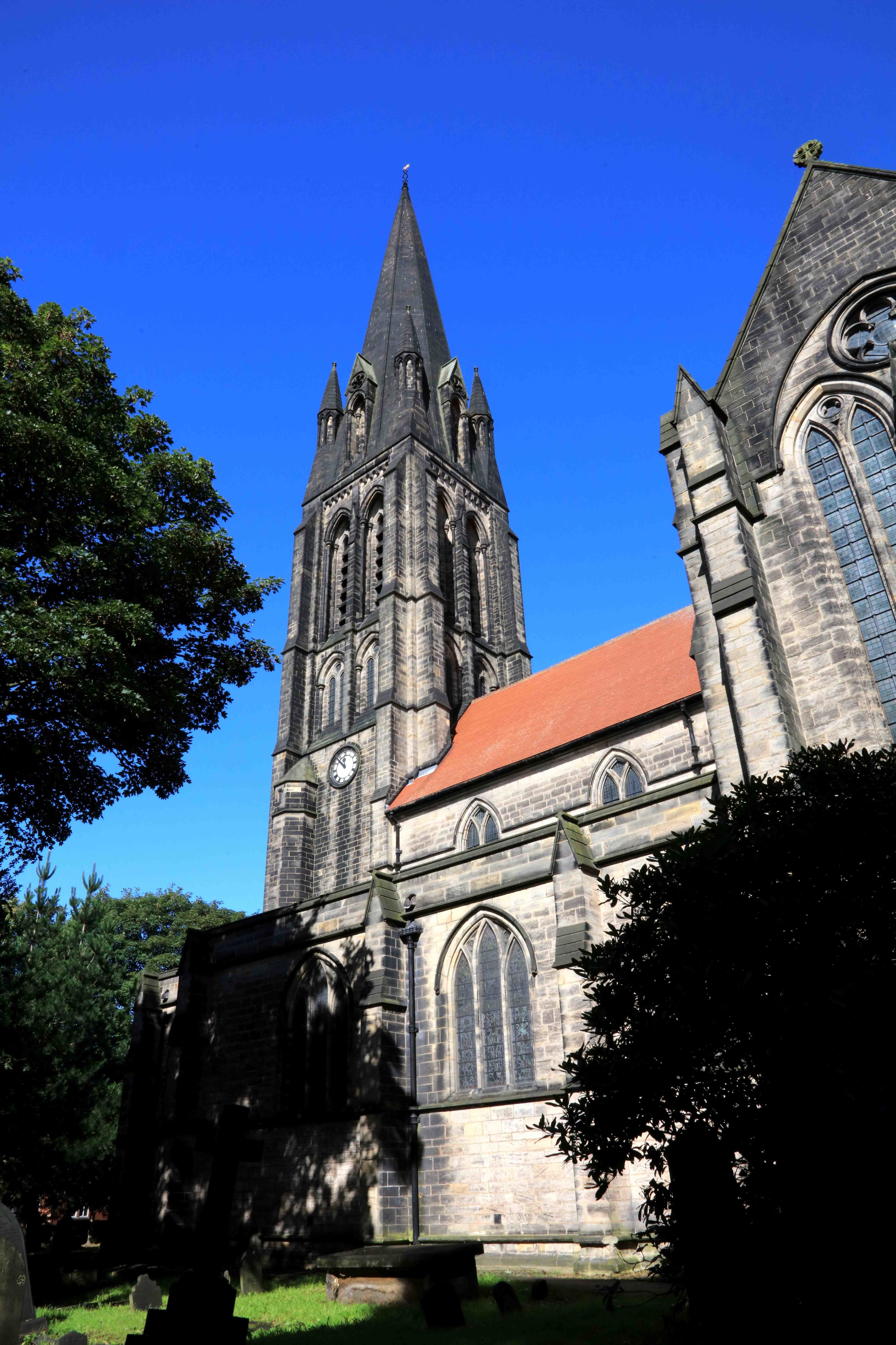
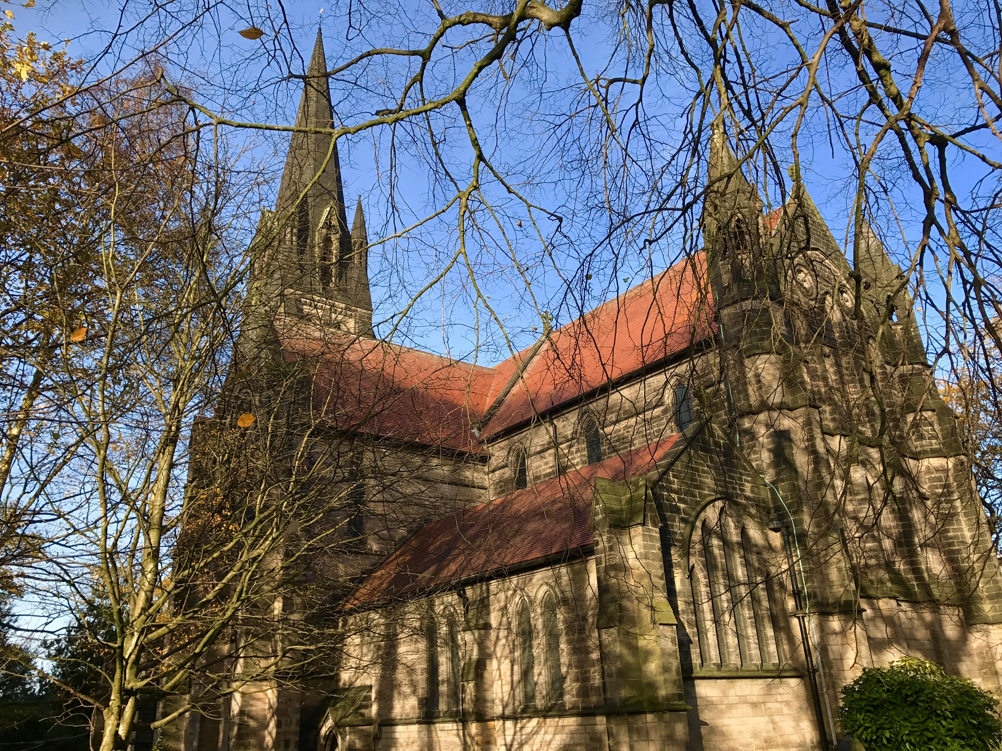


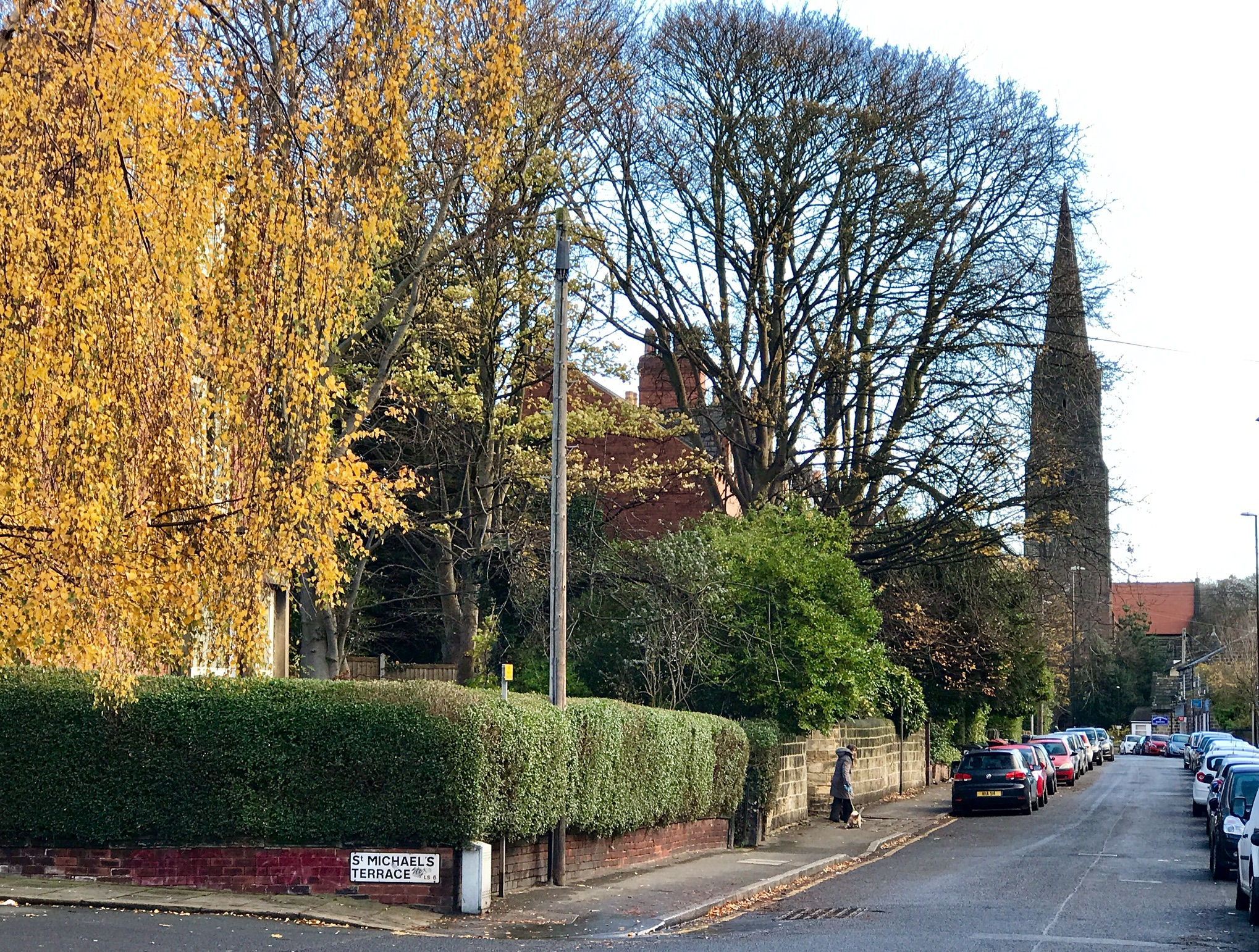

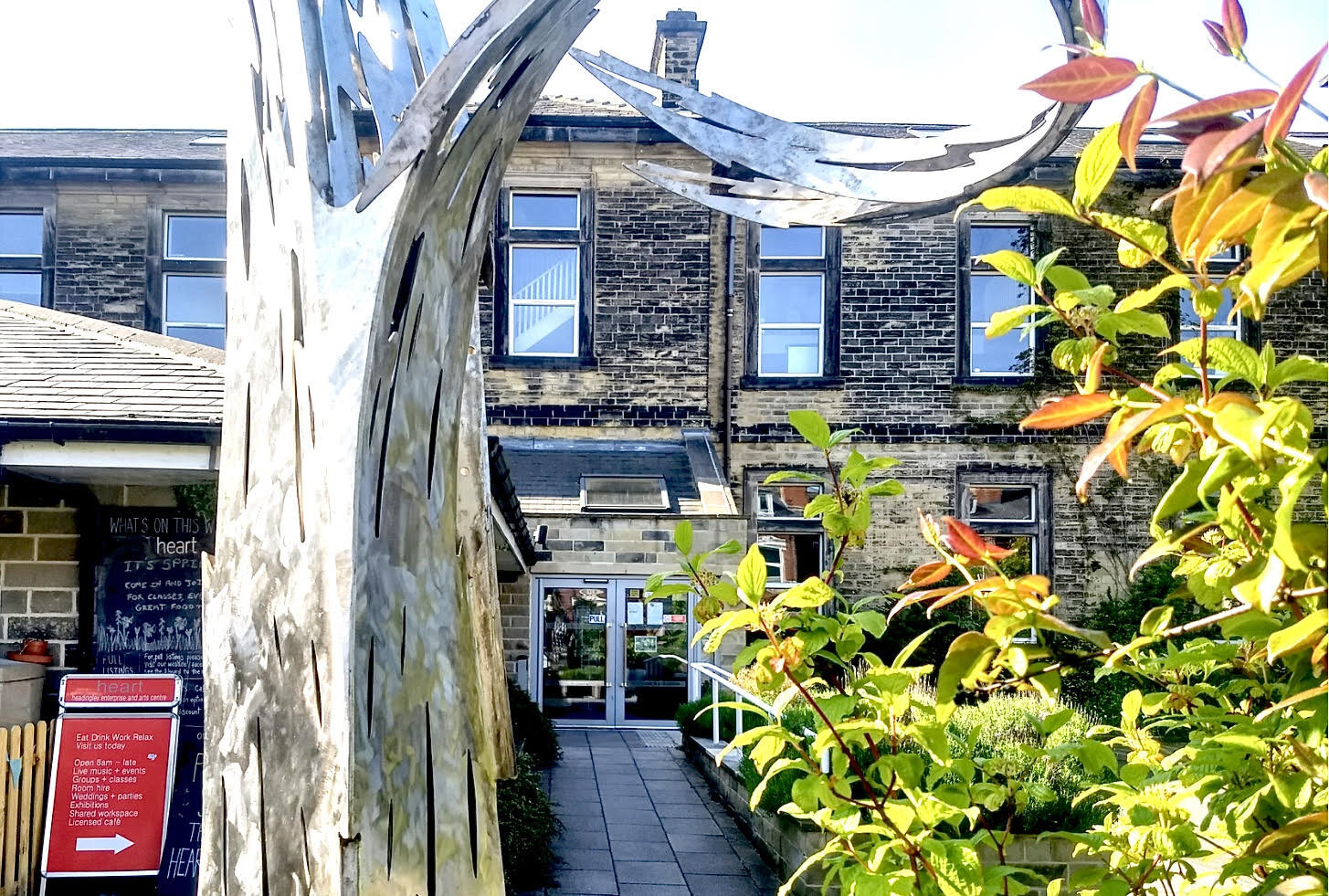
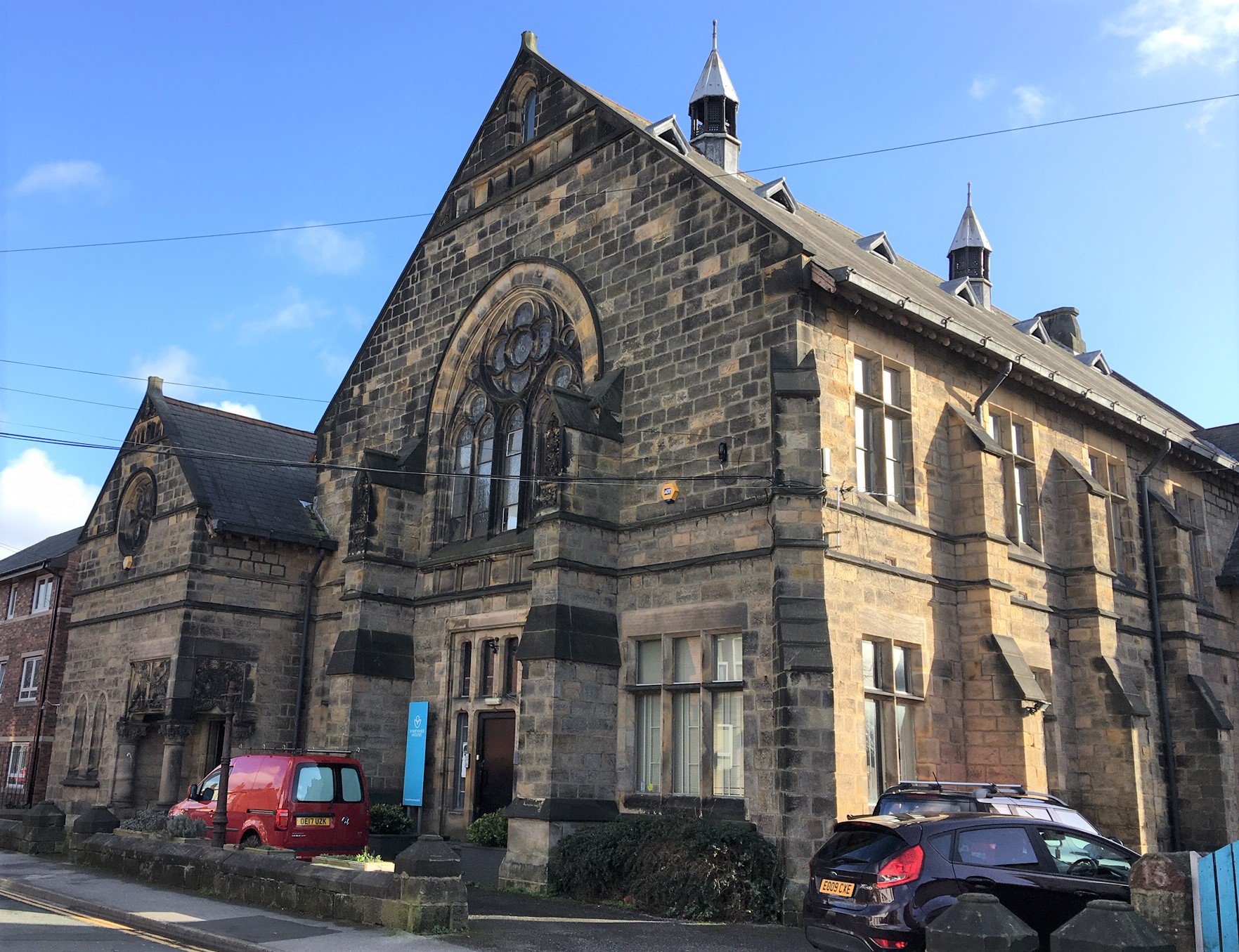
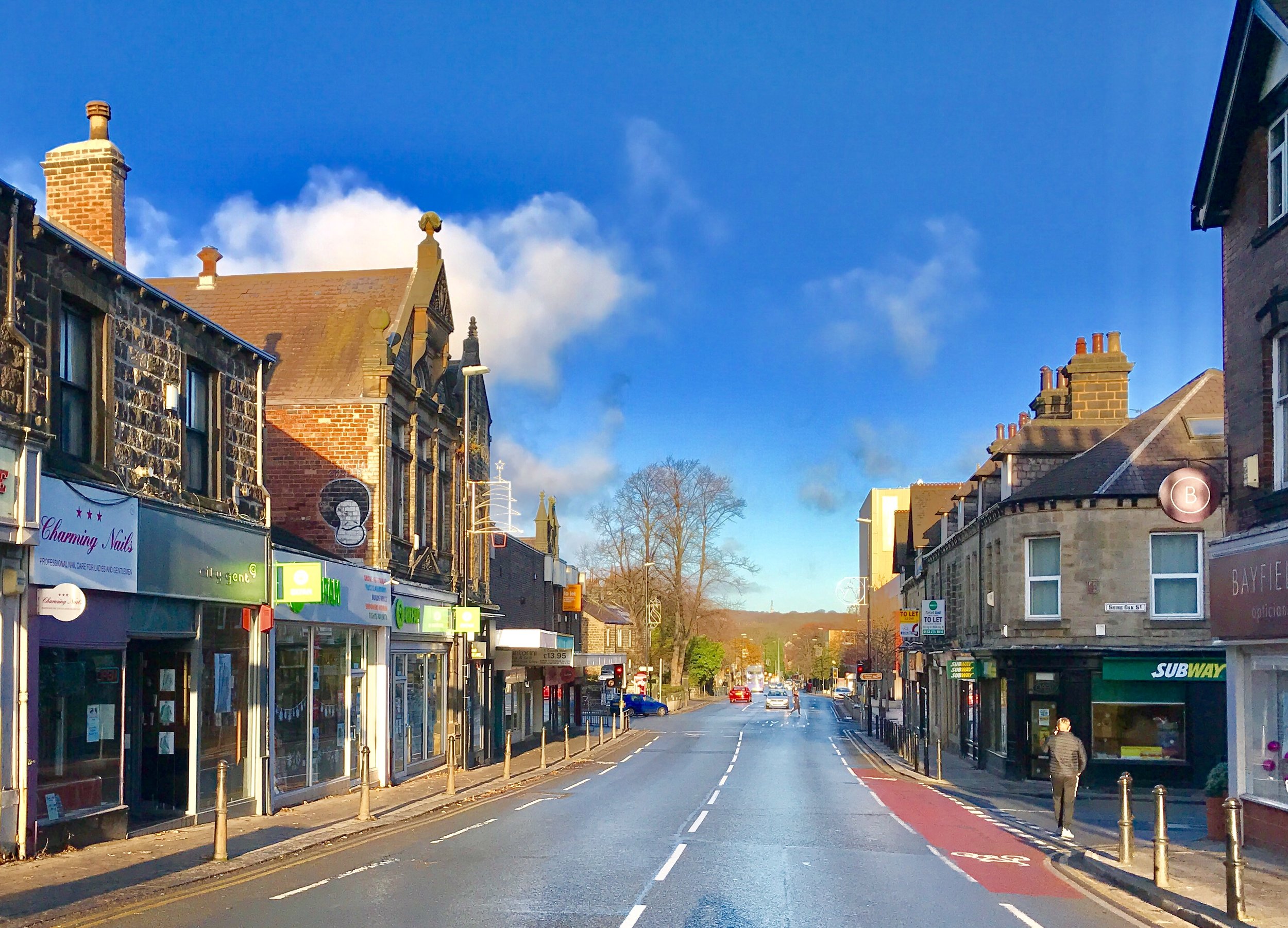
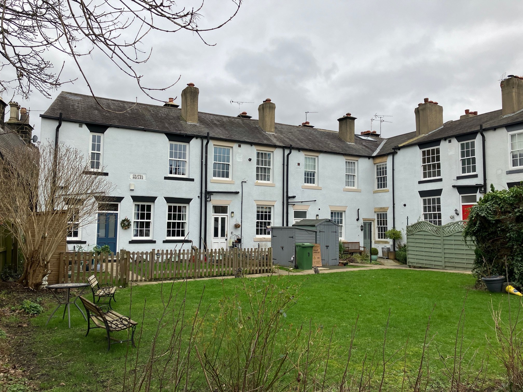

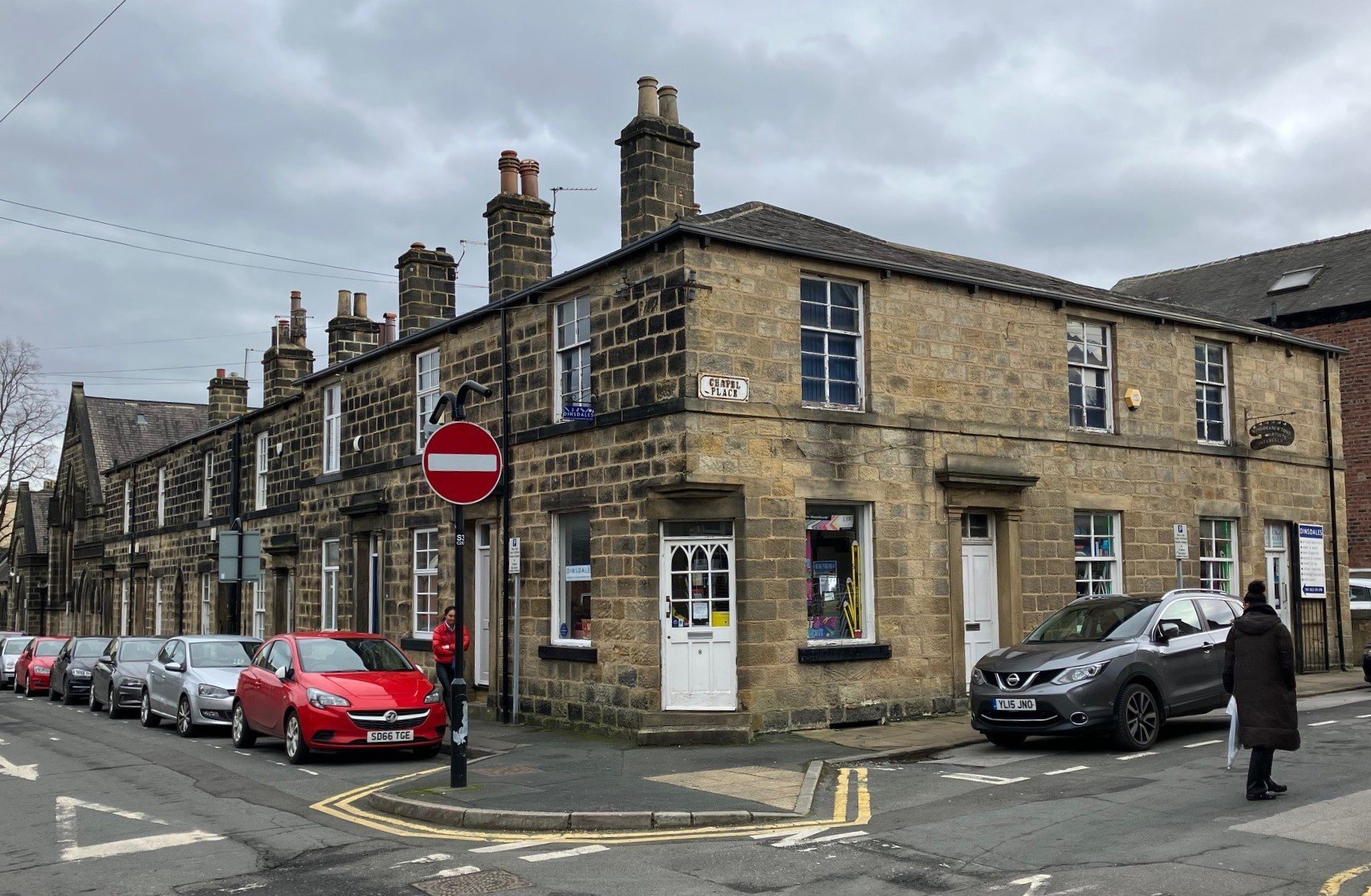
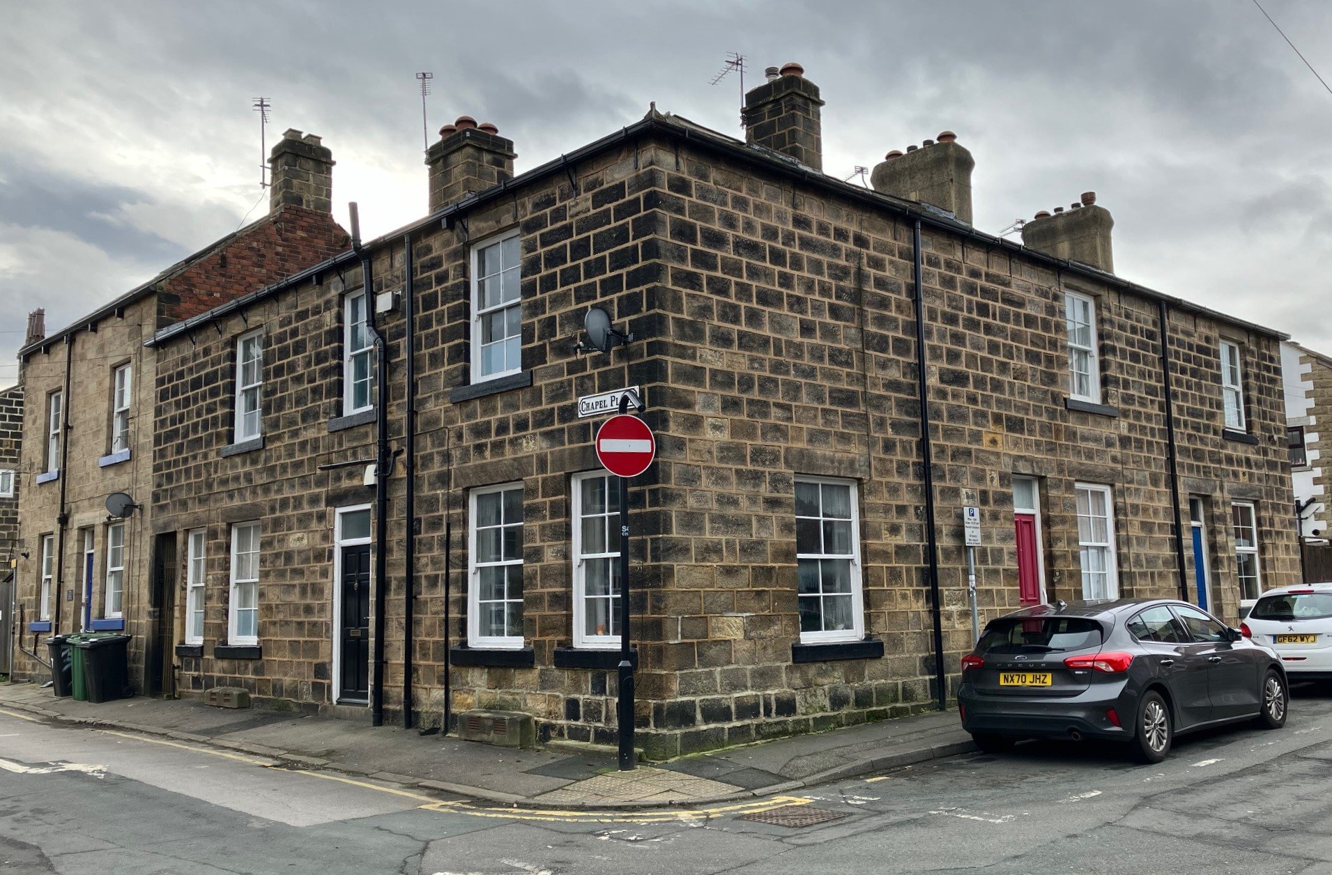
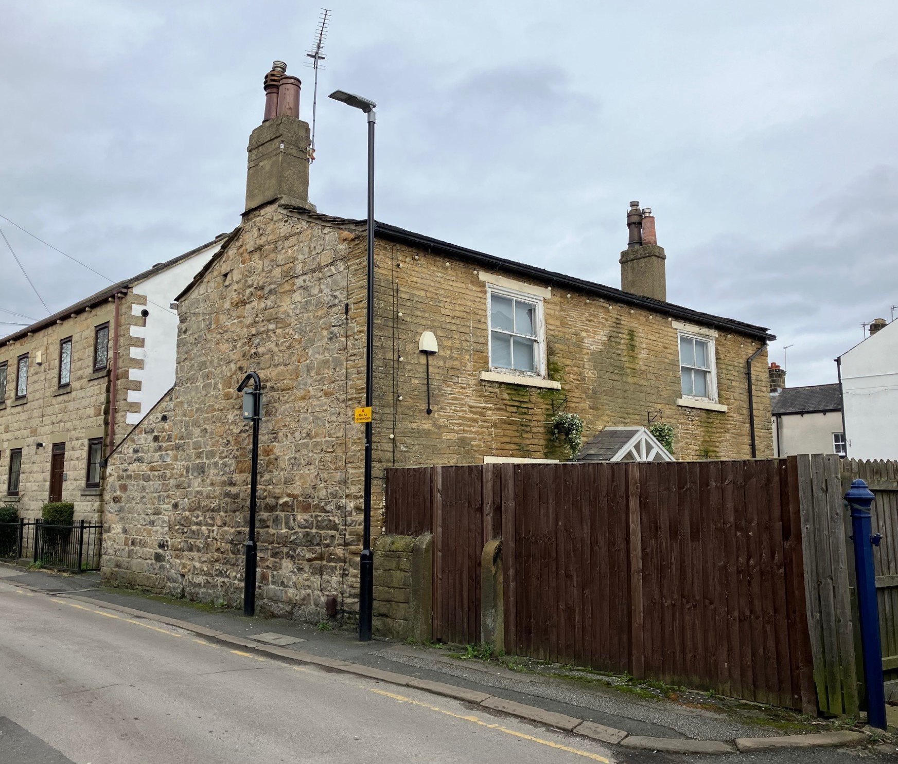

Headingley Centre comprises Otley Road (from St Michael’s to Shaw Lane) and North Lane, and the streets in between, around the Parish Church and HEART and the Methodist Chapel. See the downloadable map on the Home page.
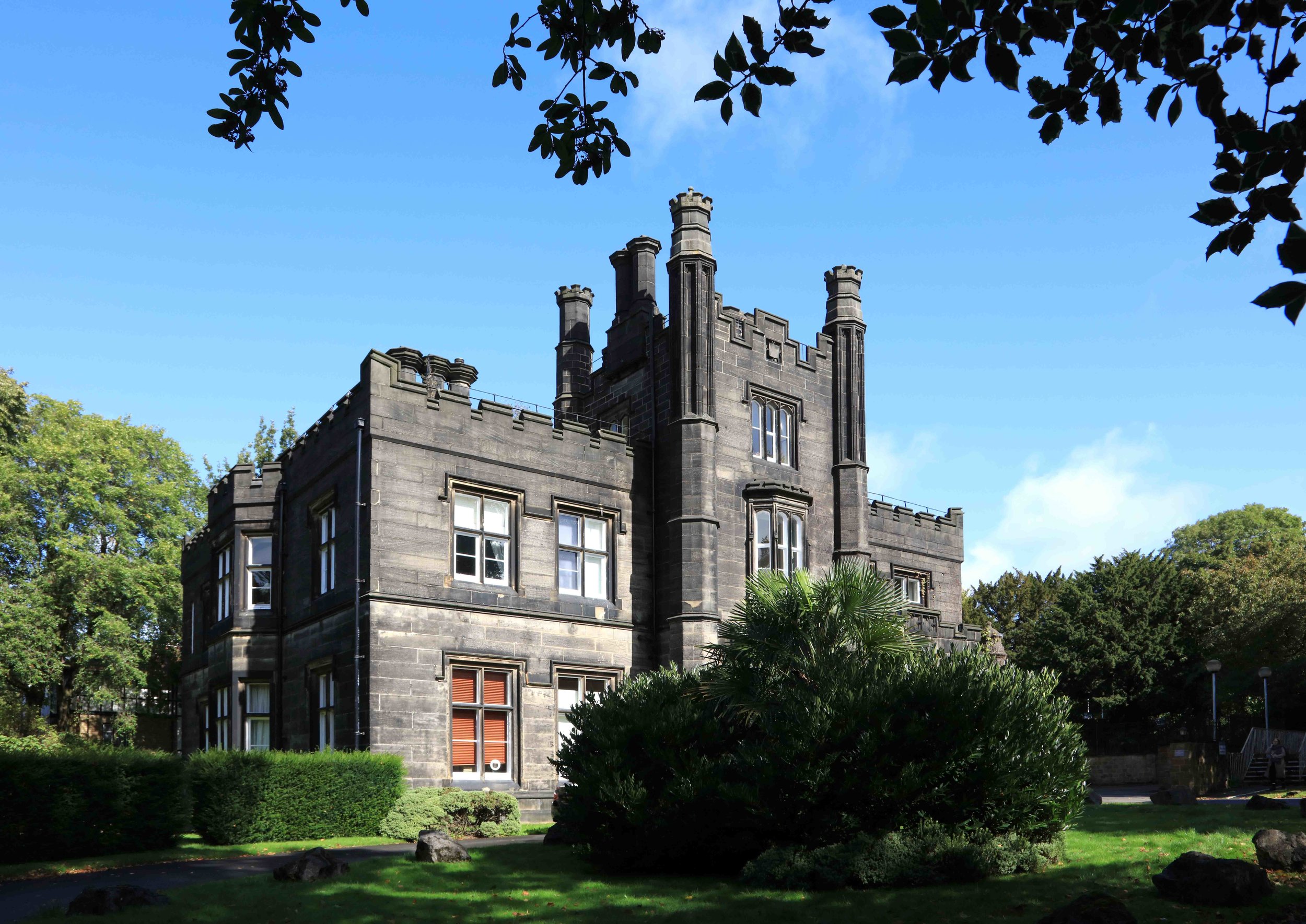
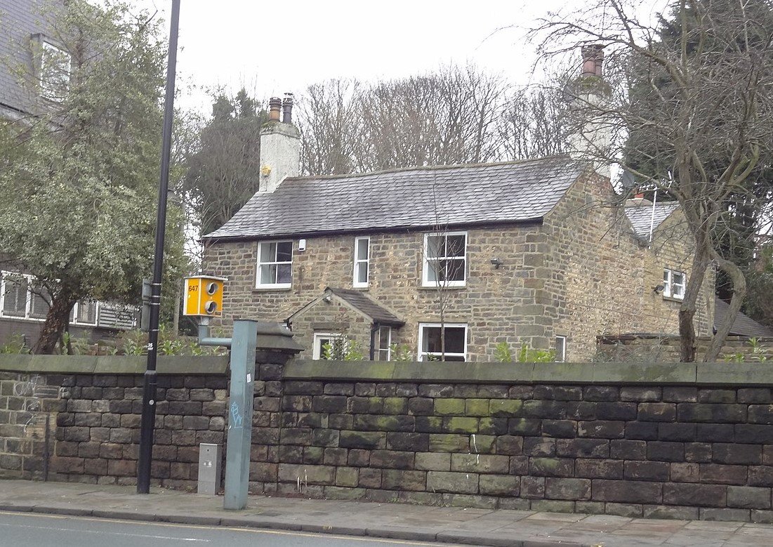
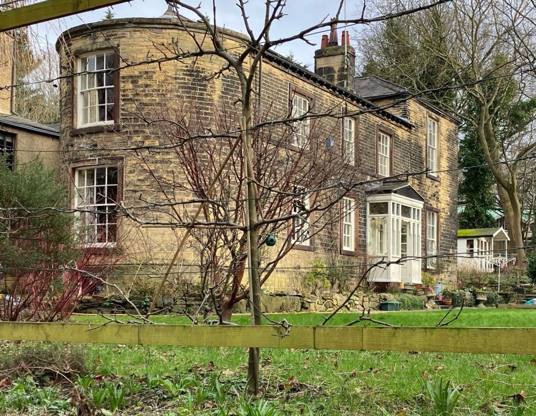
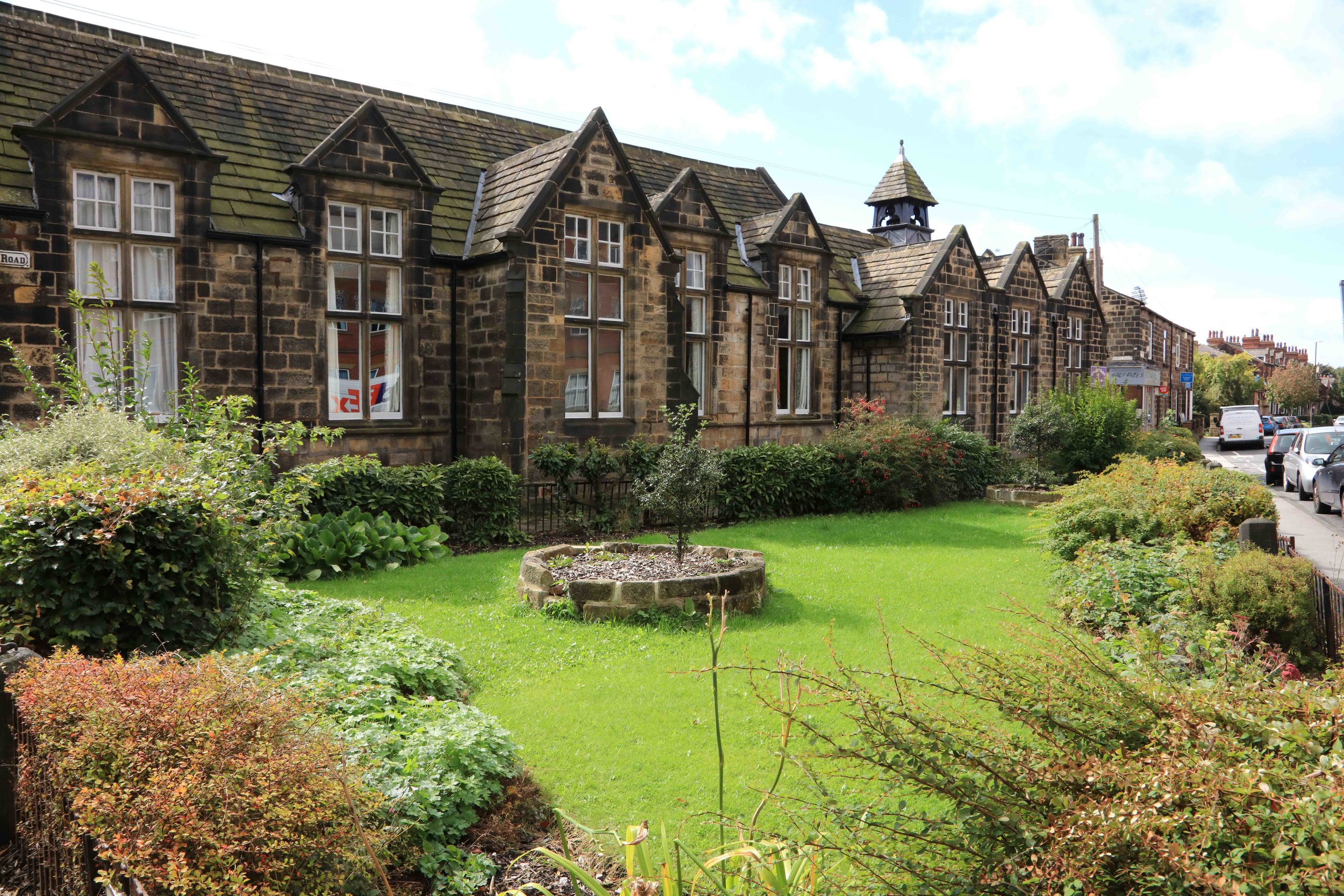
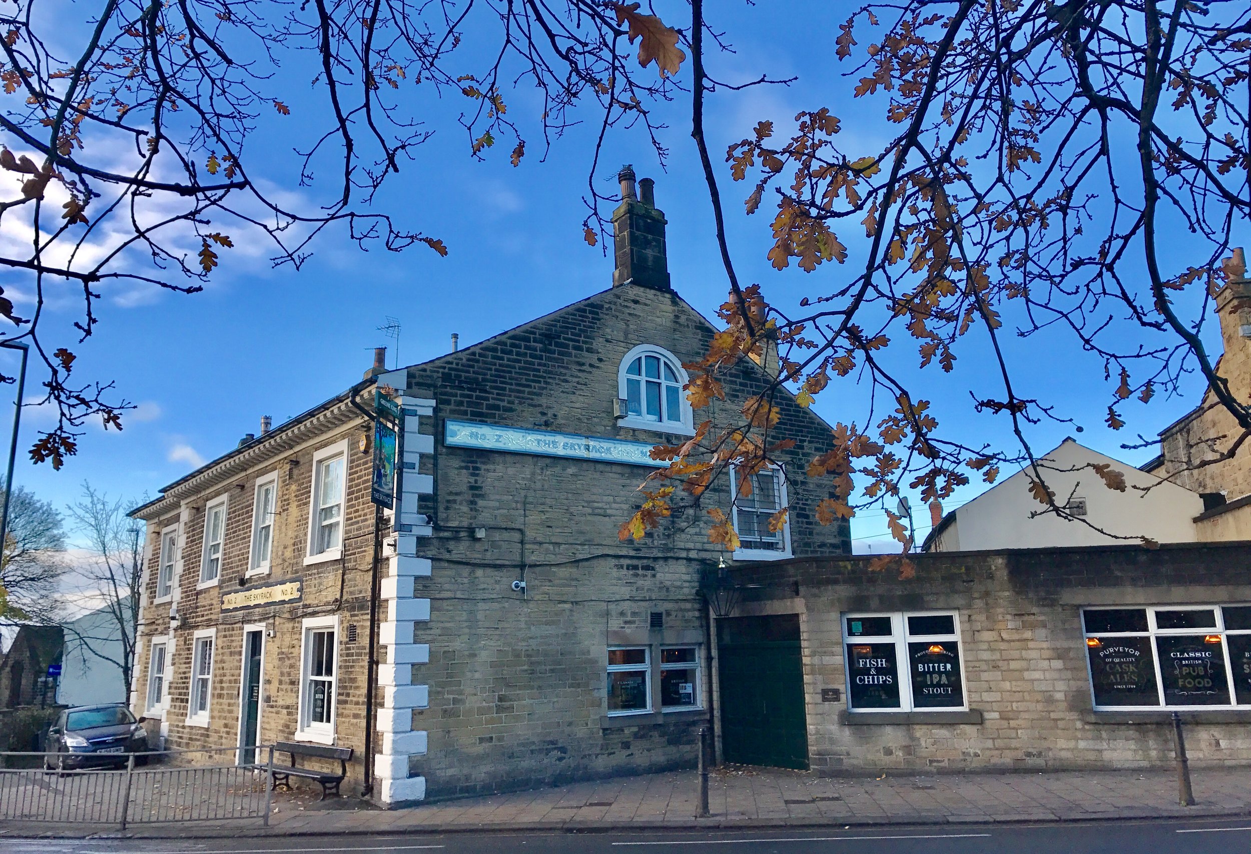
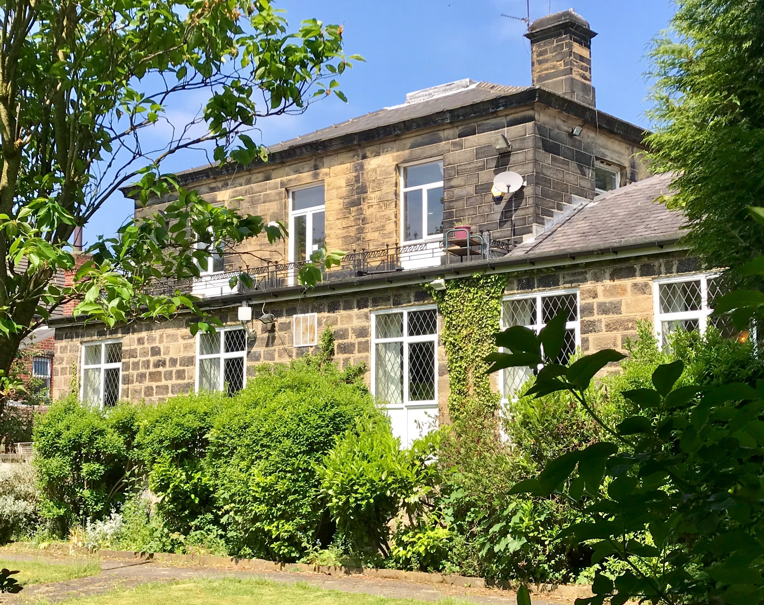
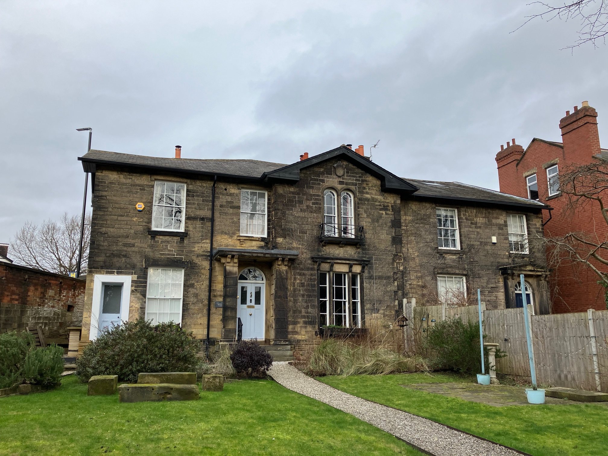
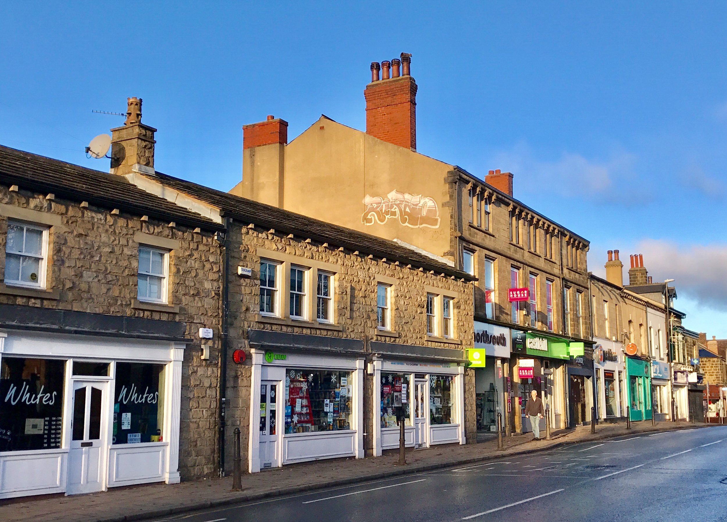
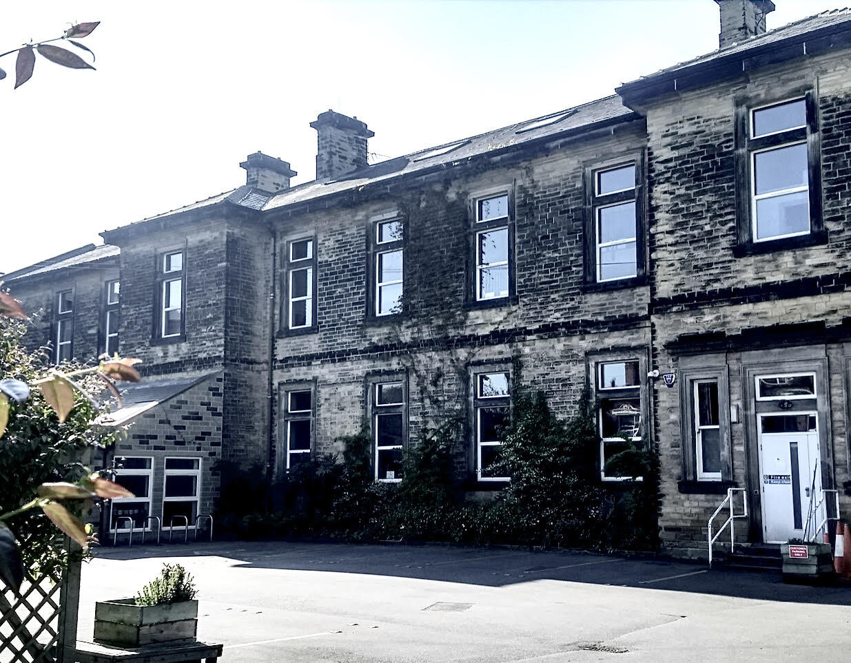
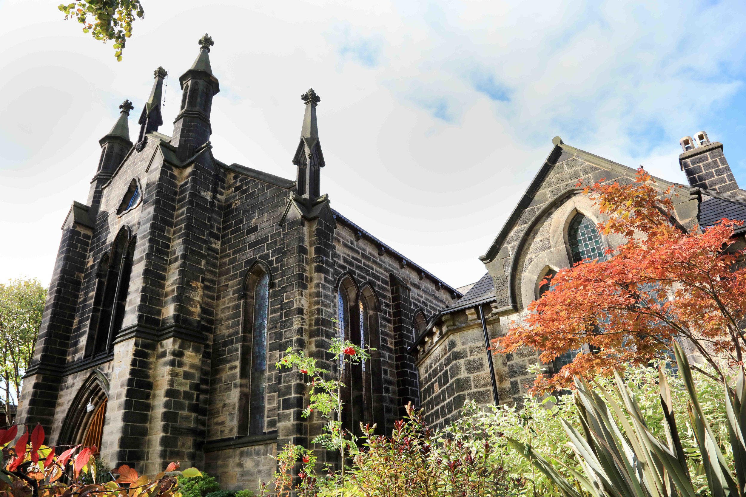
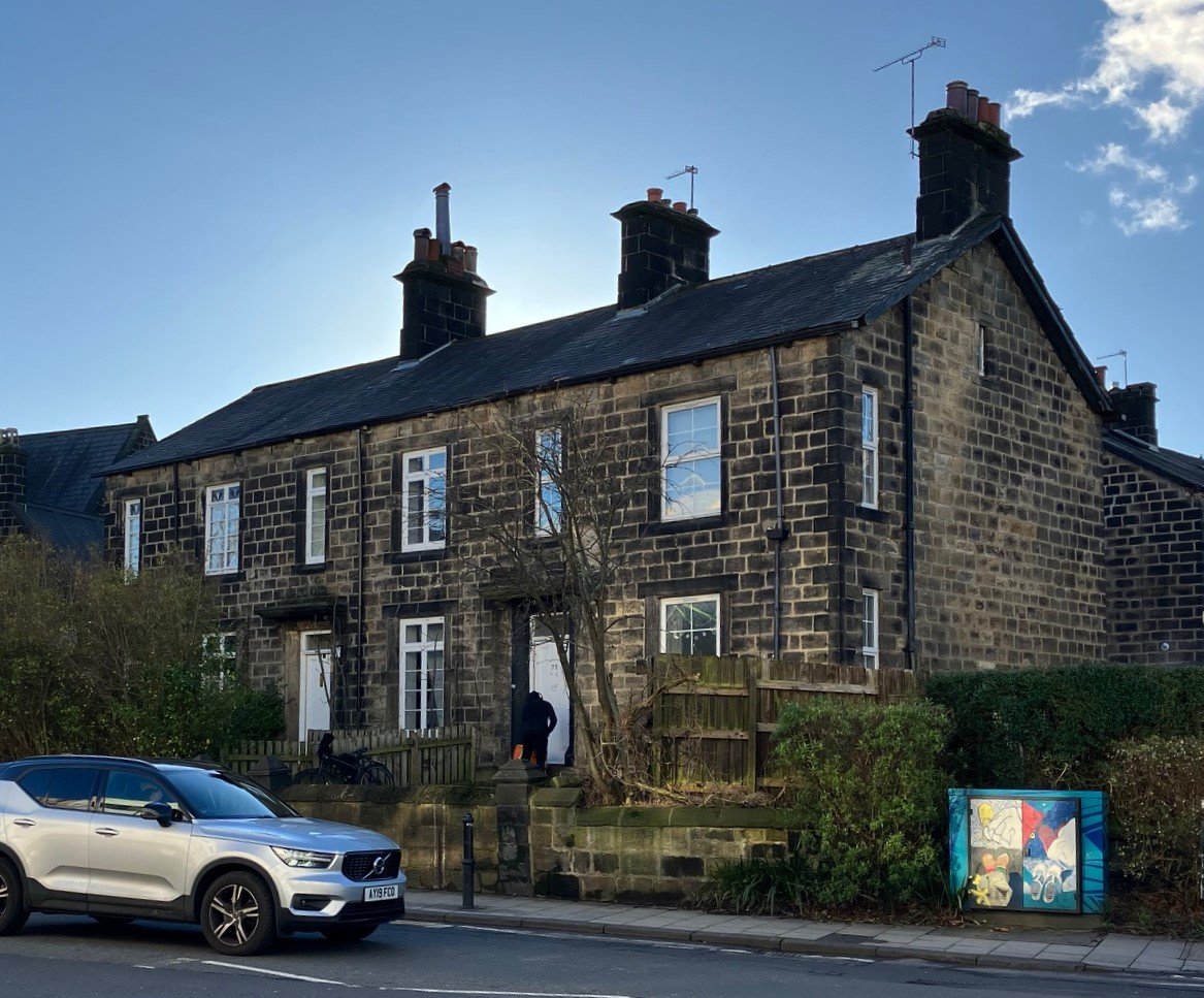
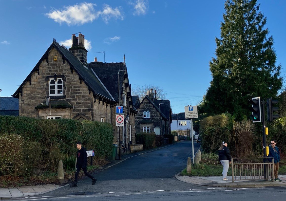
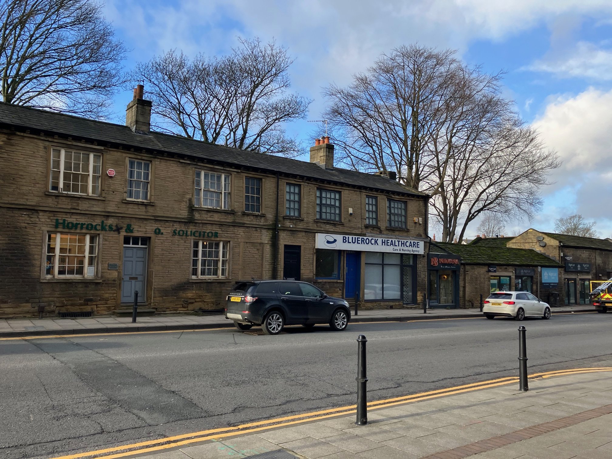
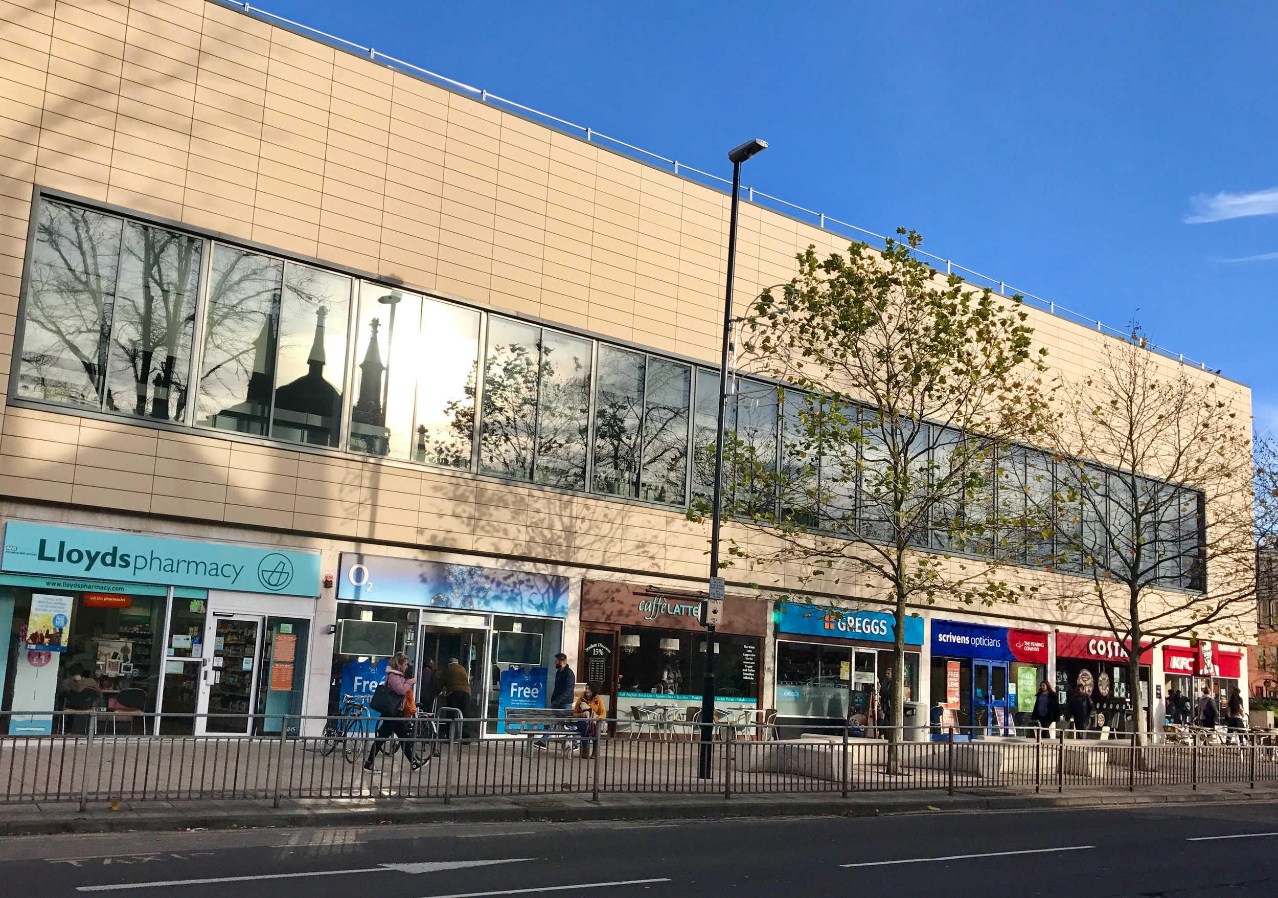
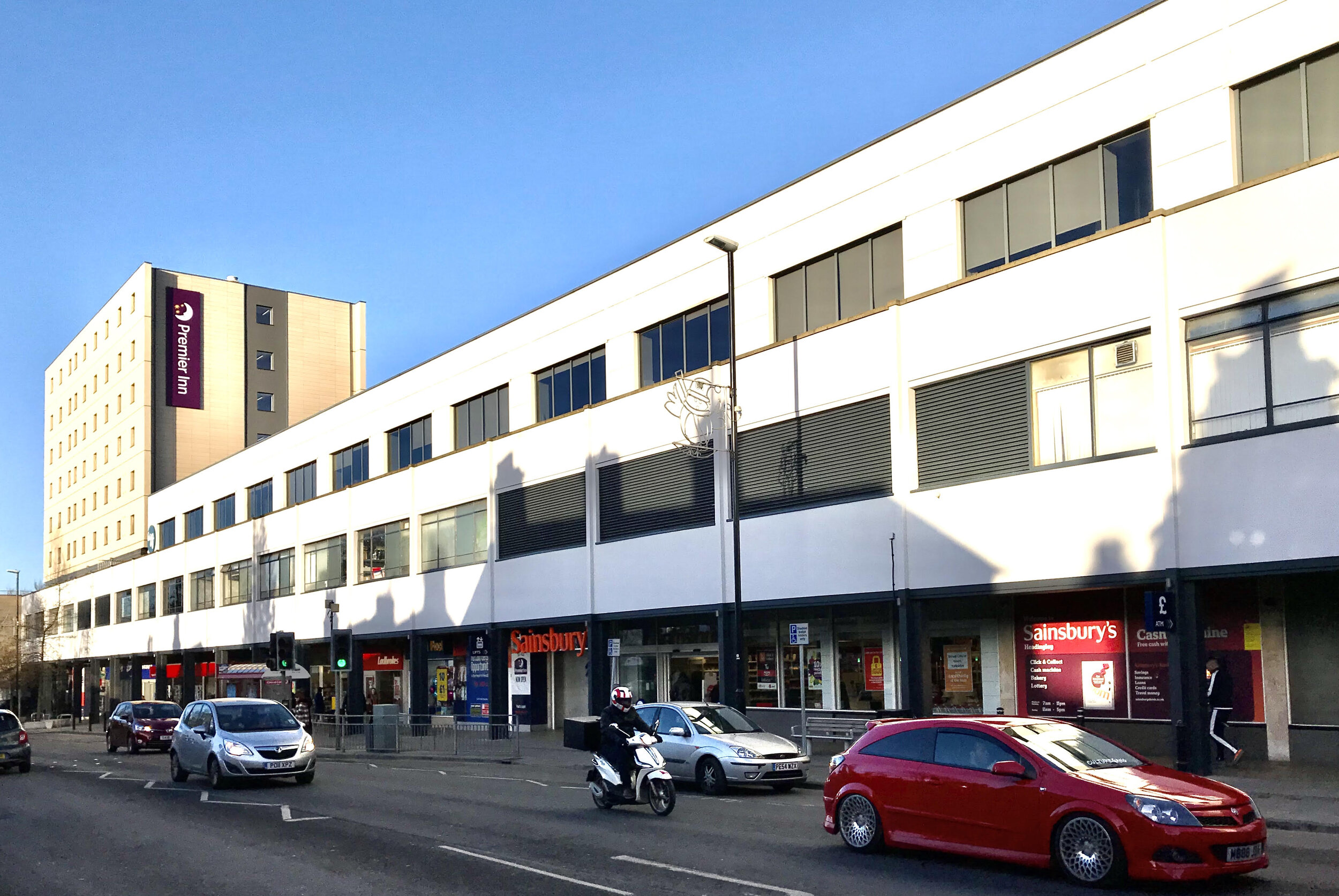
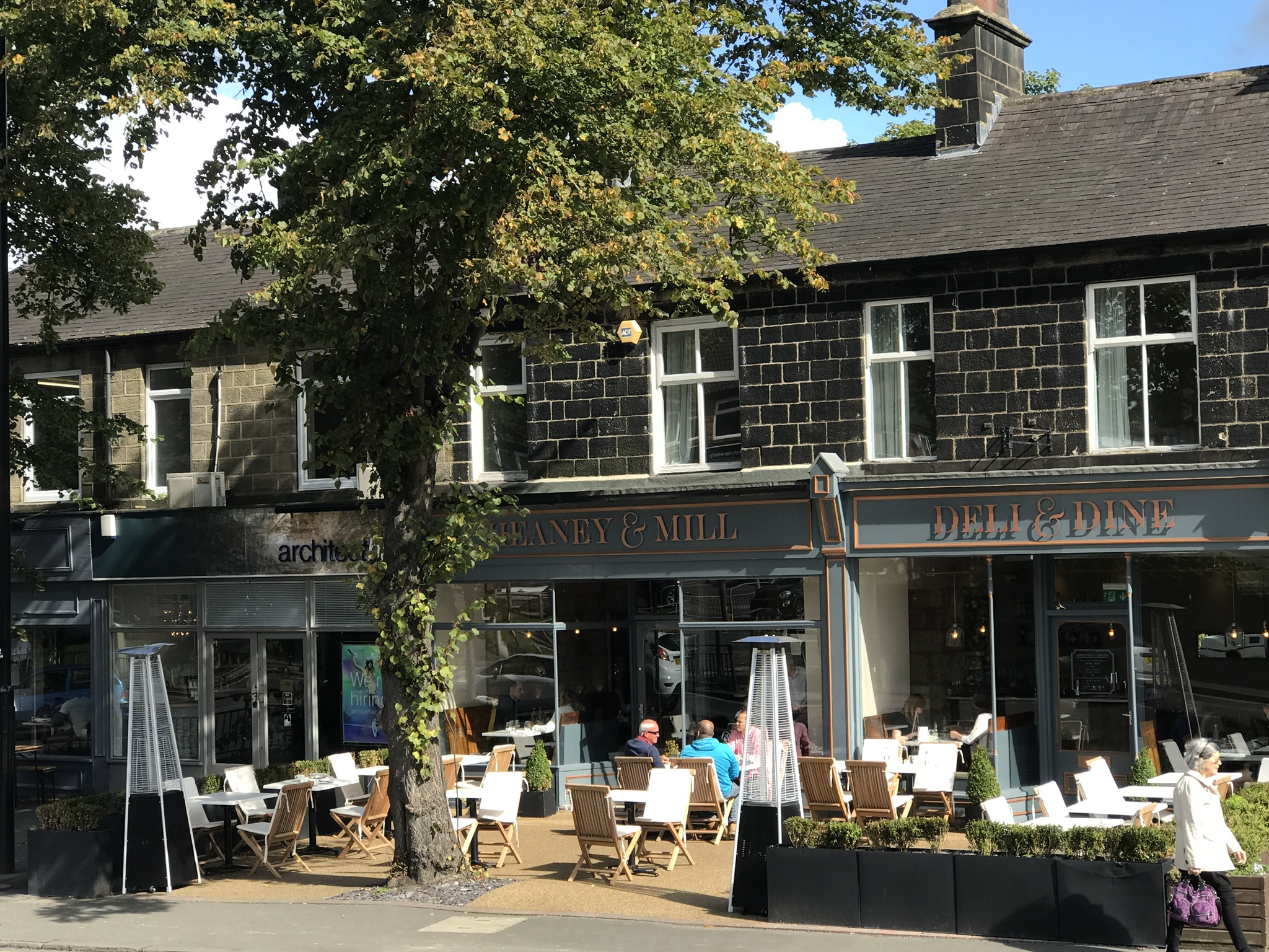
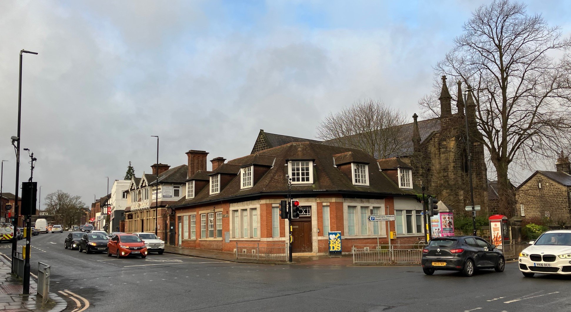
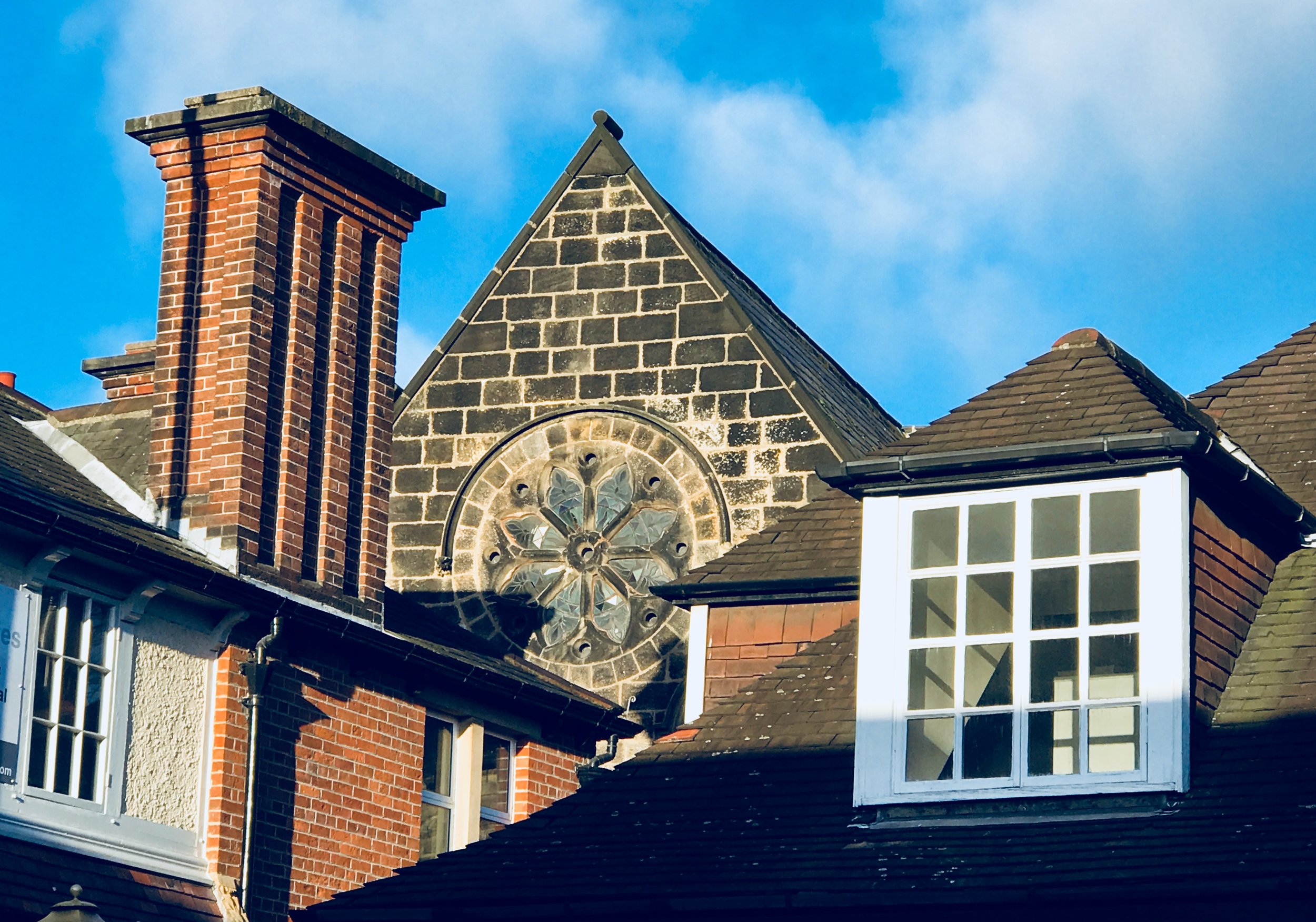
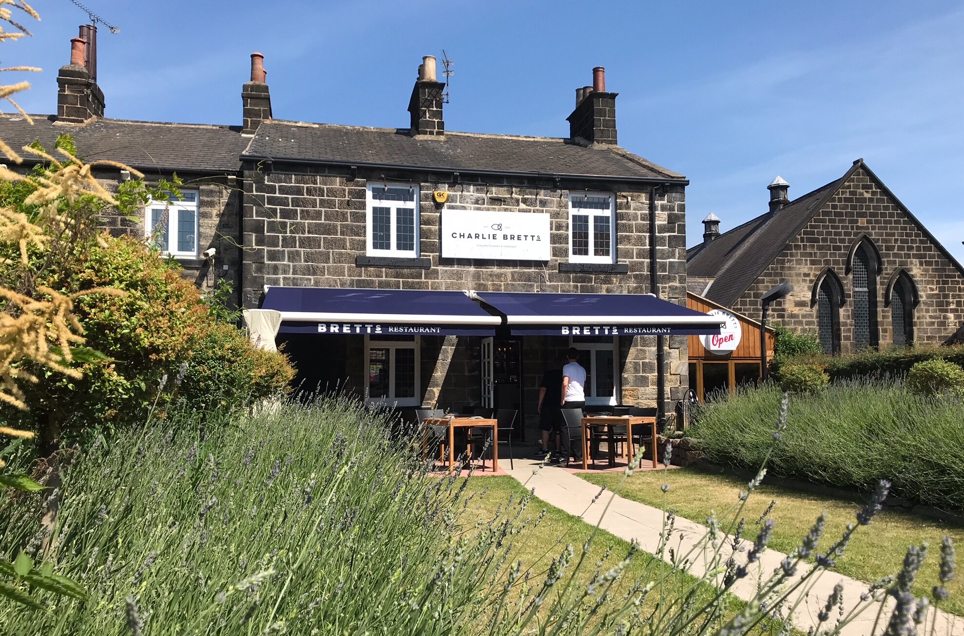
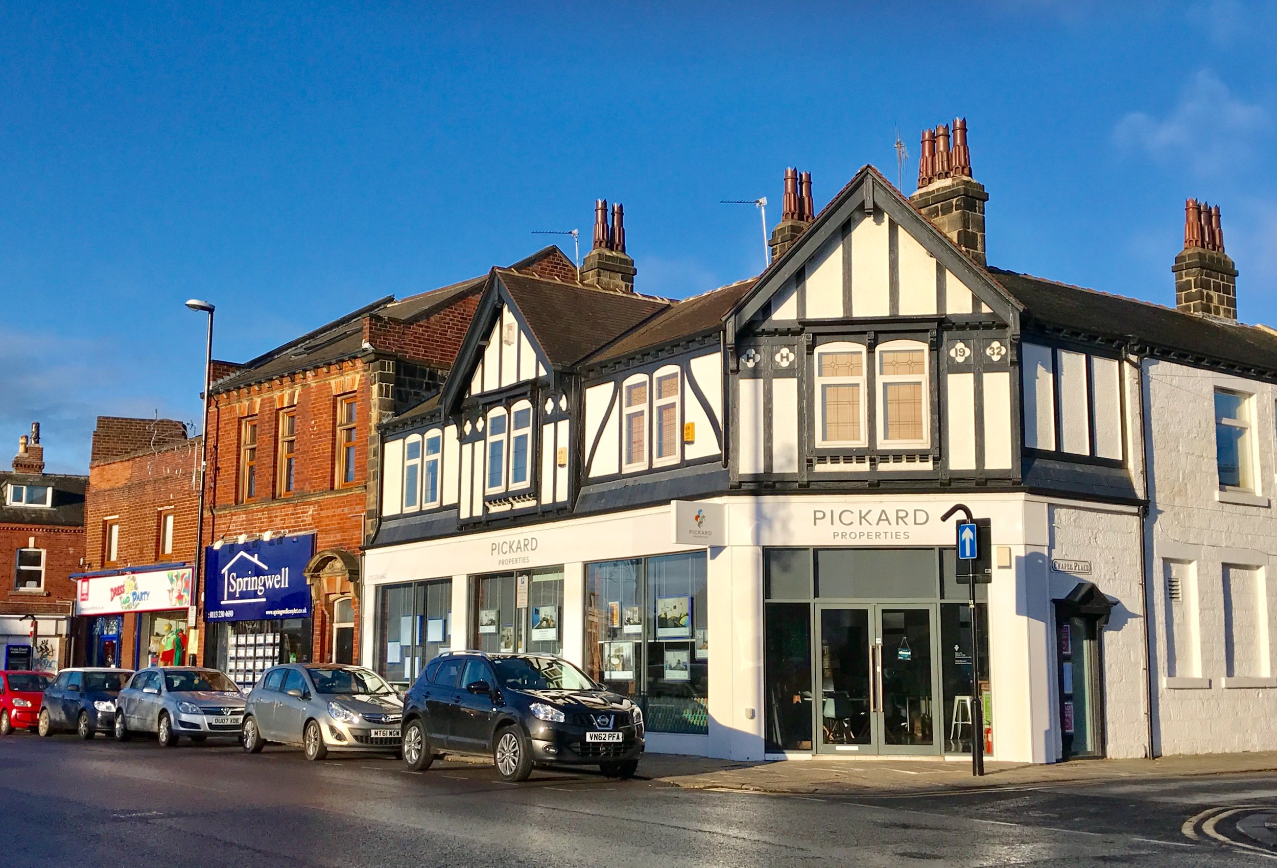
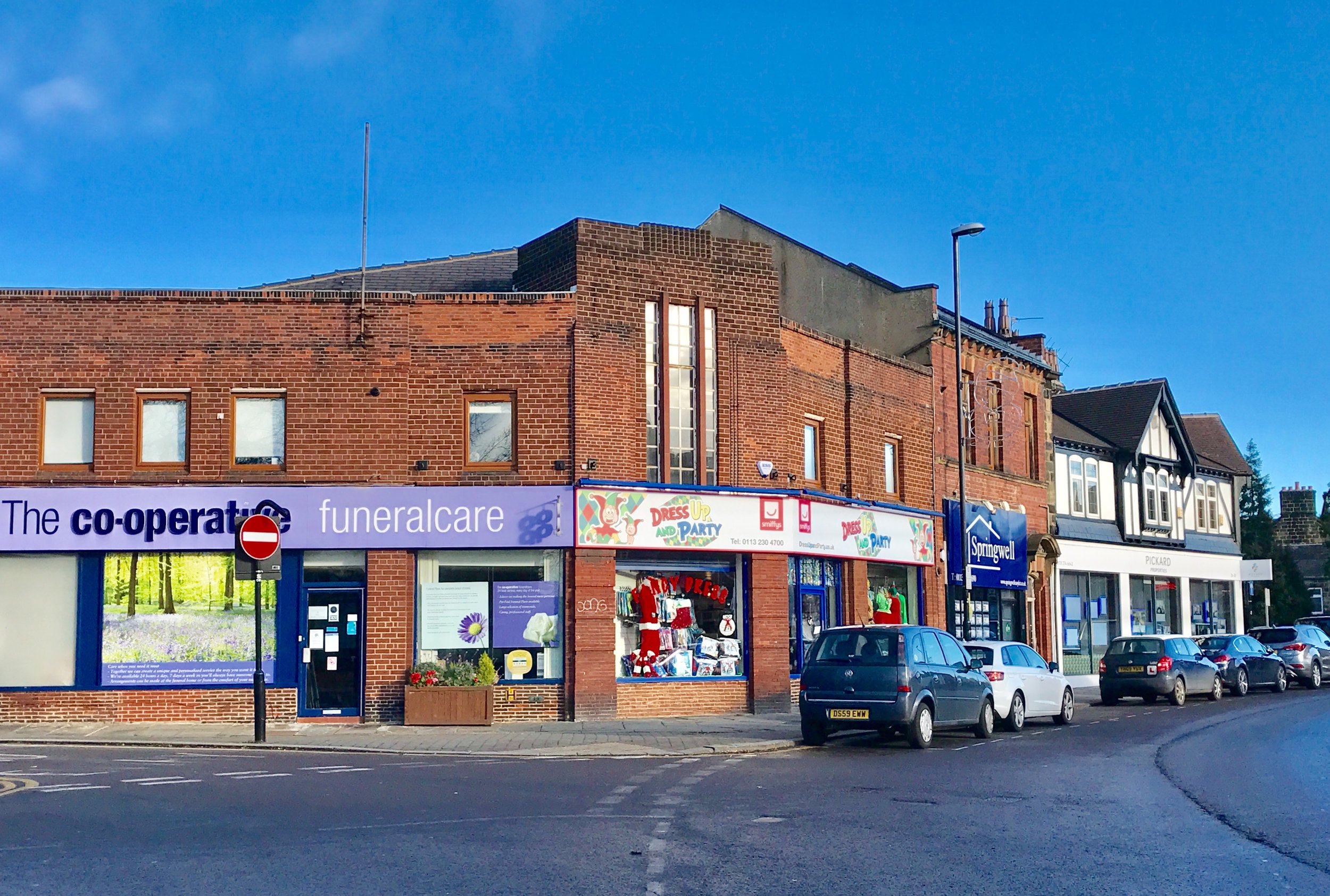
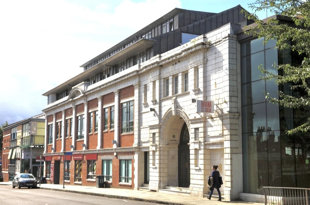
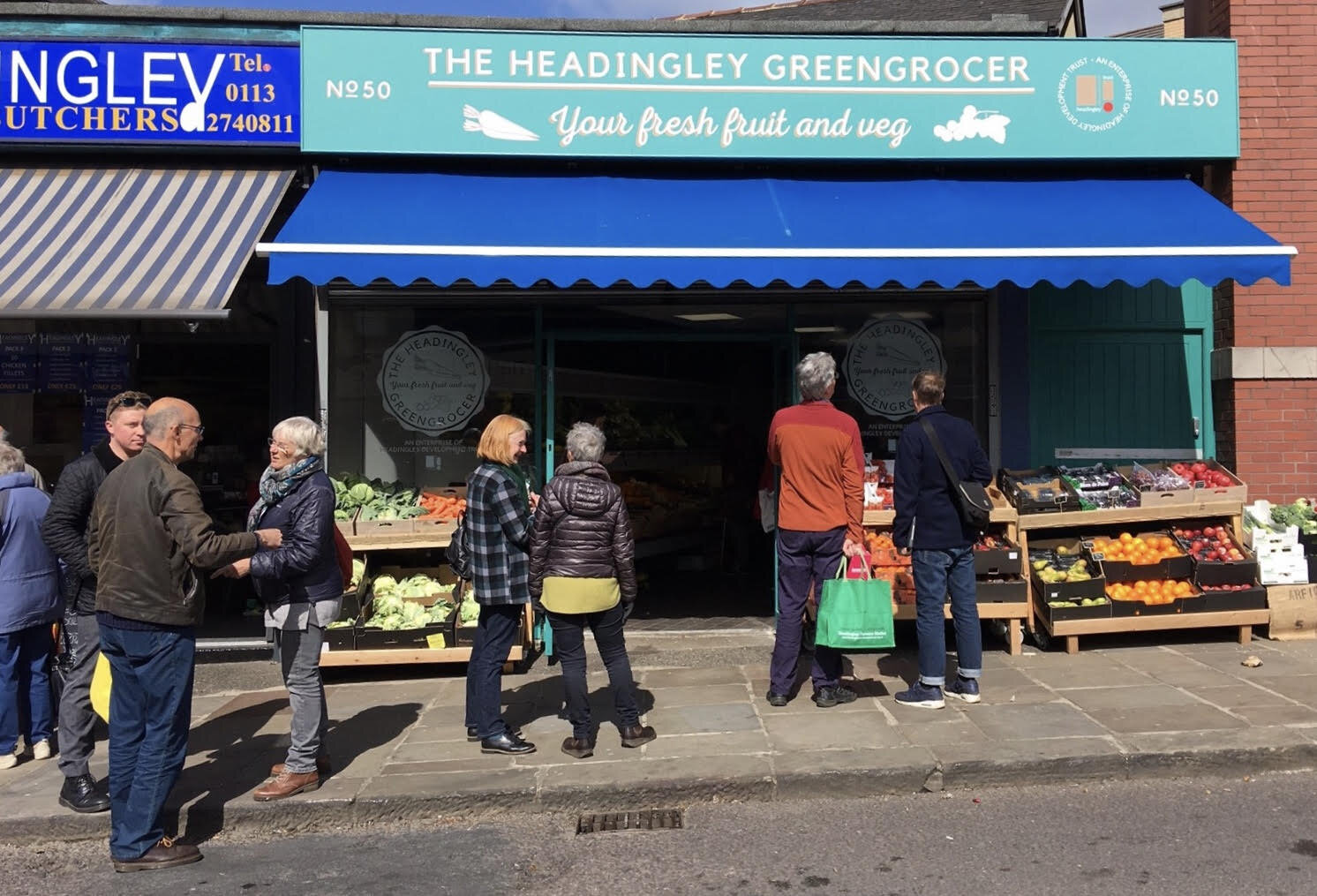
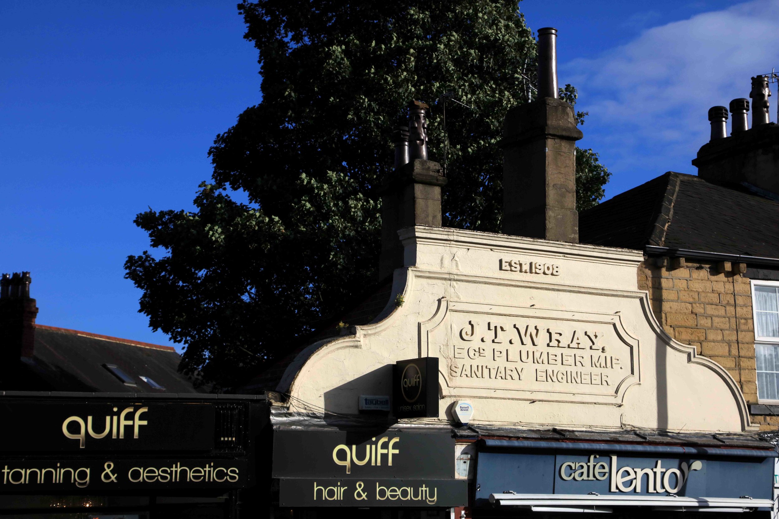
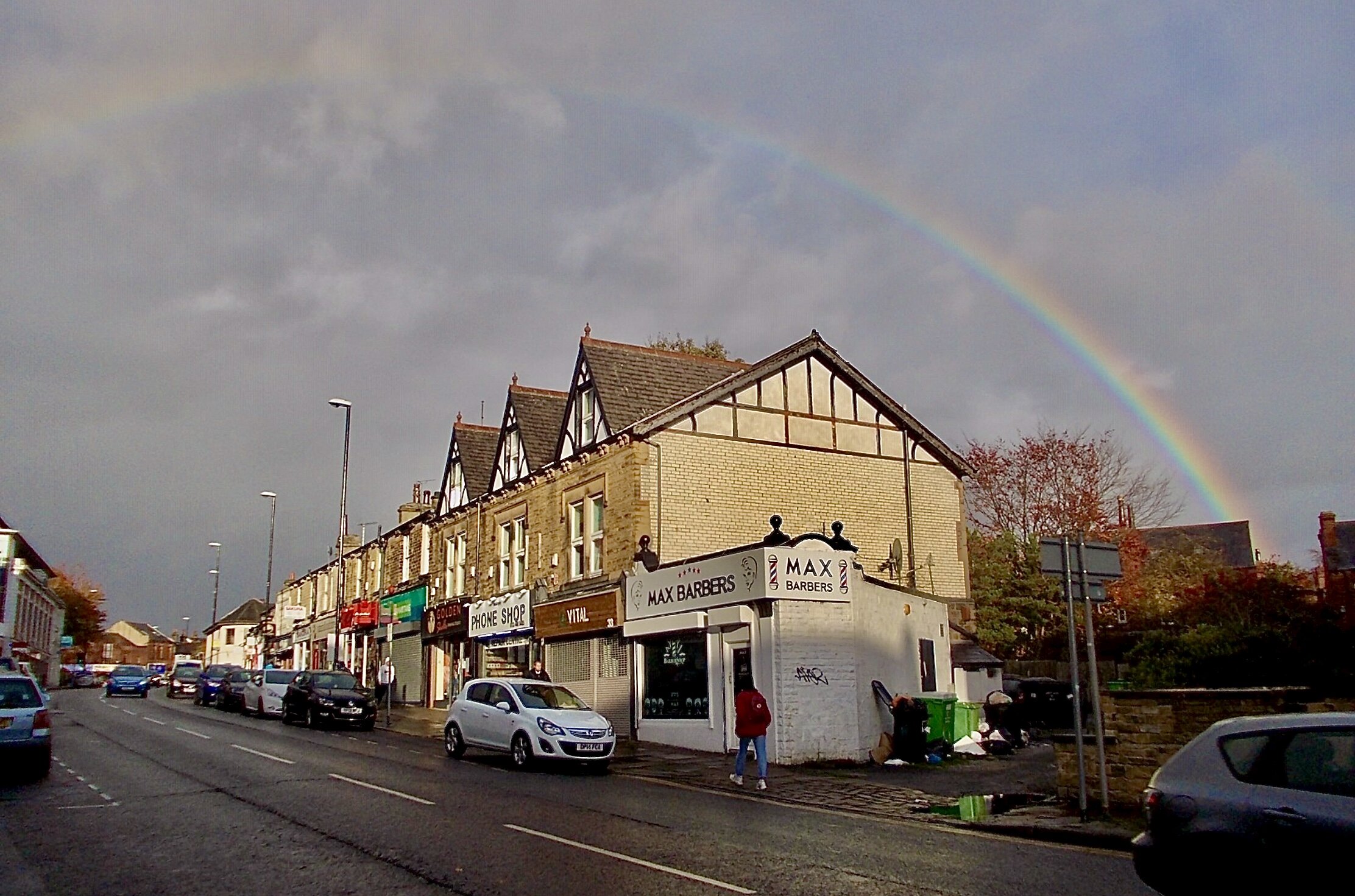
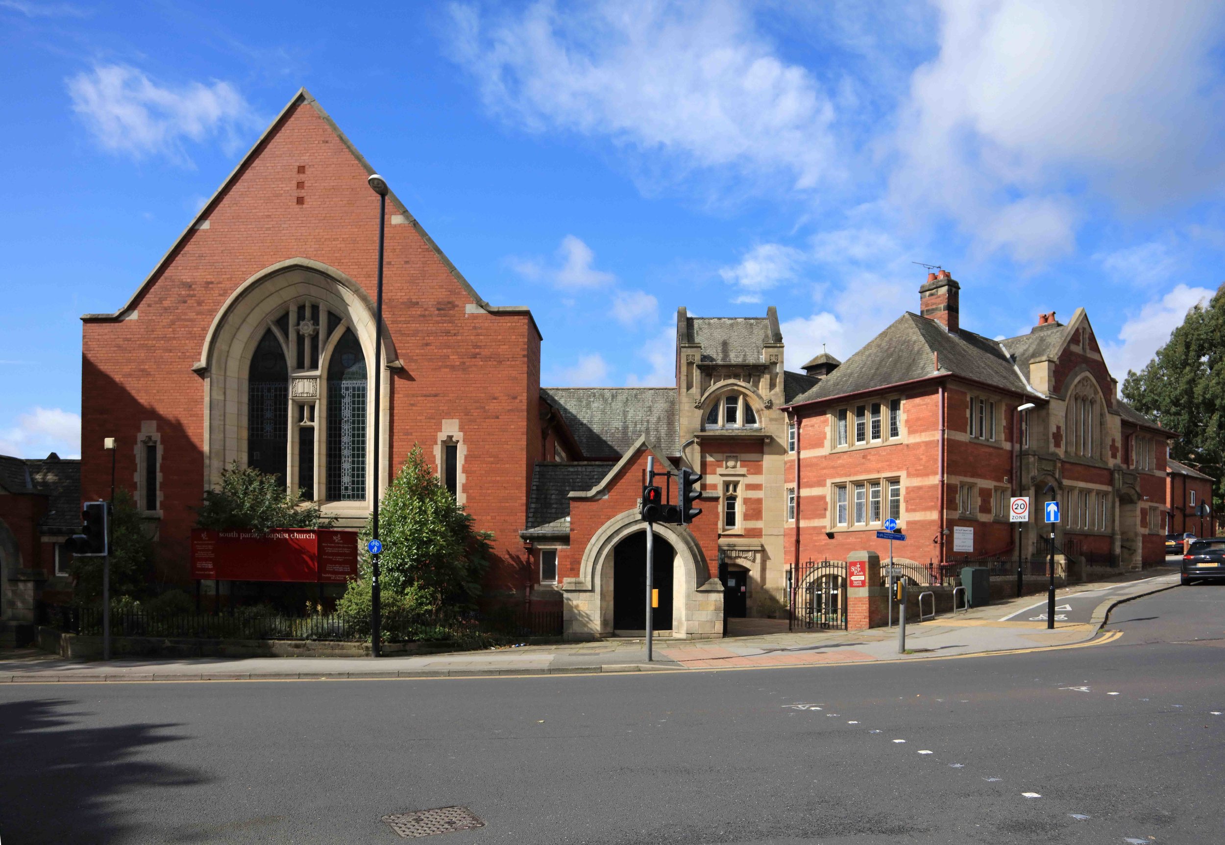
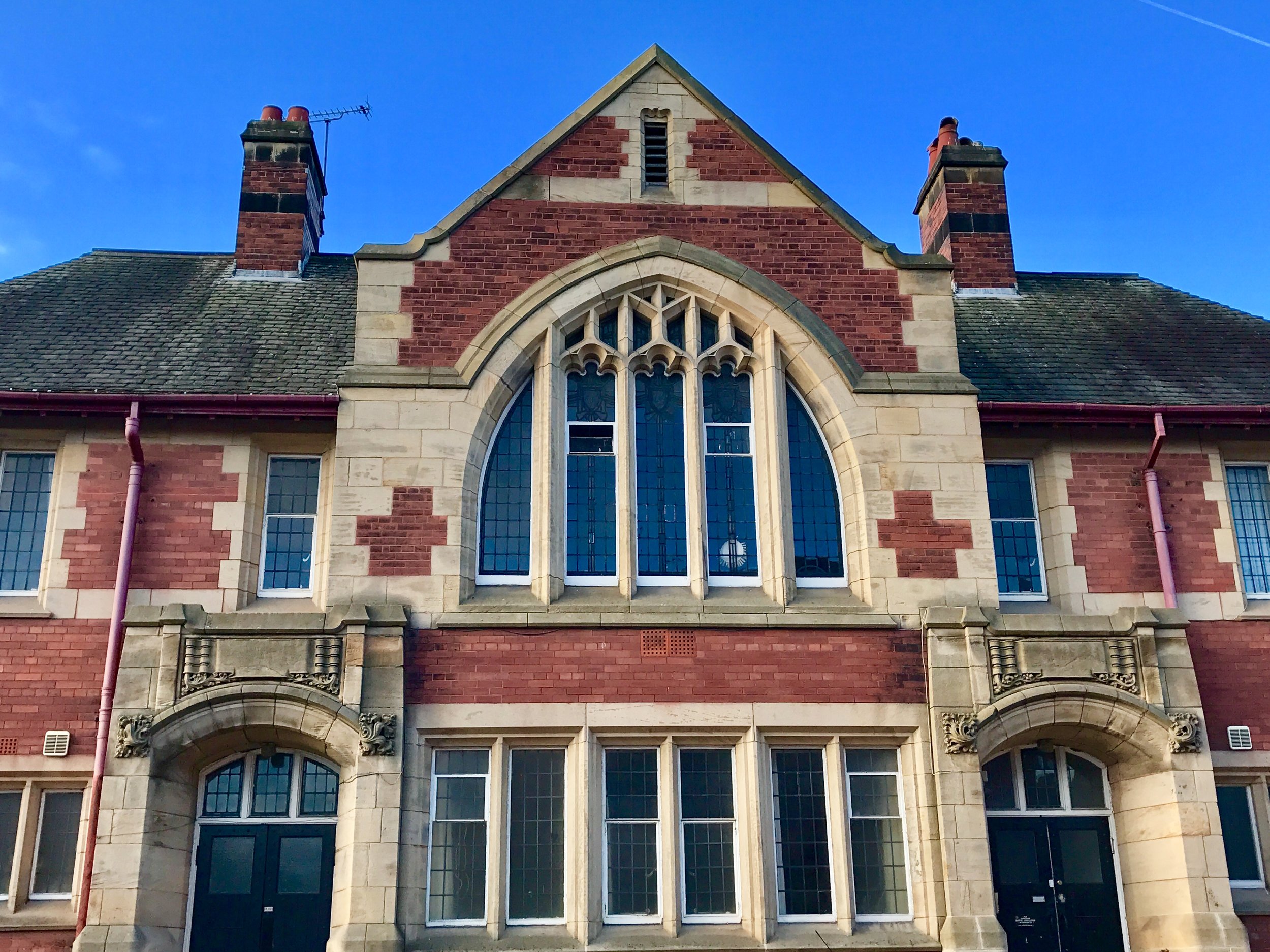
For a brief general description of the area, go to Headingley Centre; see also, Listed Buildings. There is a School nearby in Wood Lane, the Centre has several Doctors, Dentists, Opticians and Chemists, several Churches, and a Library. Headingley Town Centre is a main Shopping Centre, with a Post Office, and it includes two Historic Pubs, as well as the Stadium. Explore the Centre by following the HEART Walks, which you can find on the Walk page.
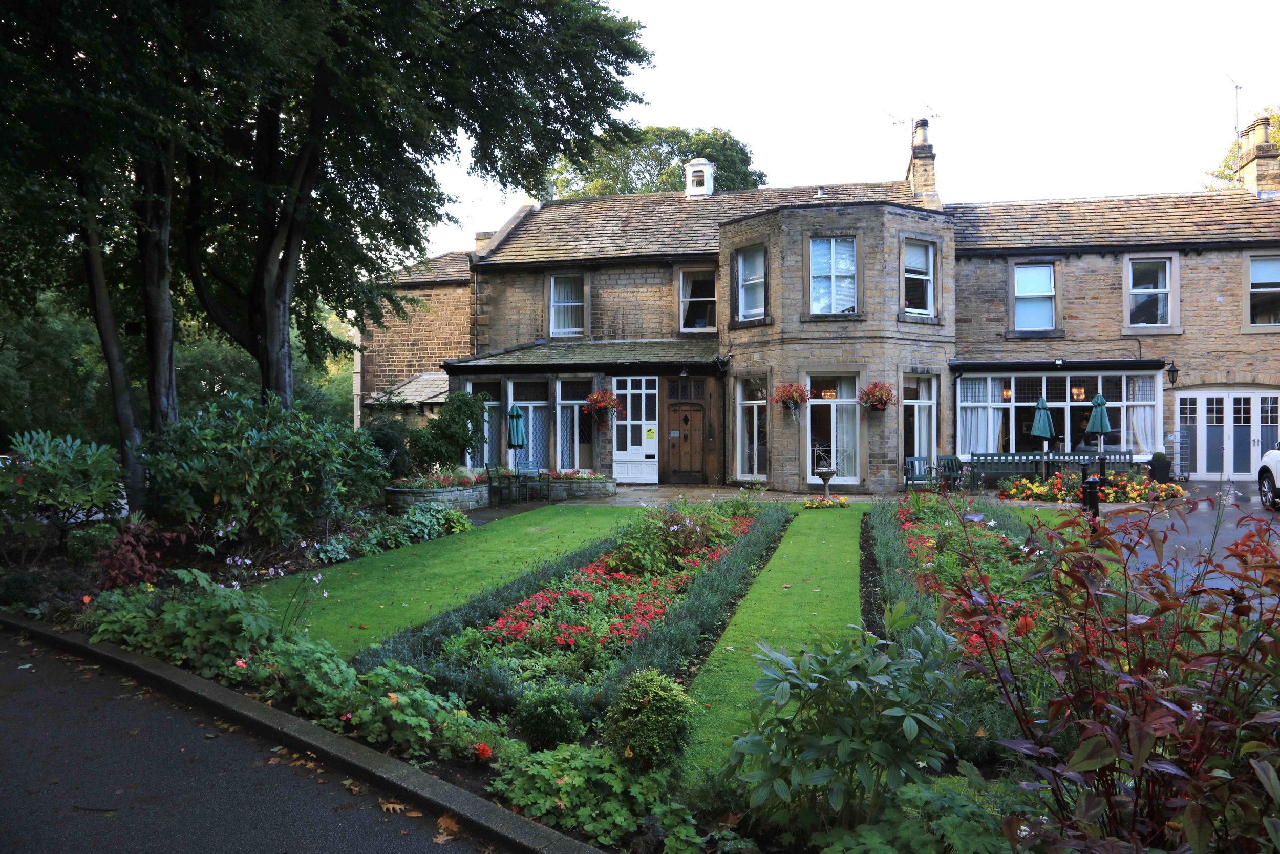
Buses connect to town and to the Dales, as well as to other suburbs, and there are local Hotels for visitors.
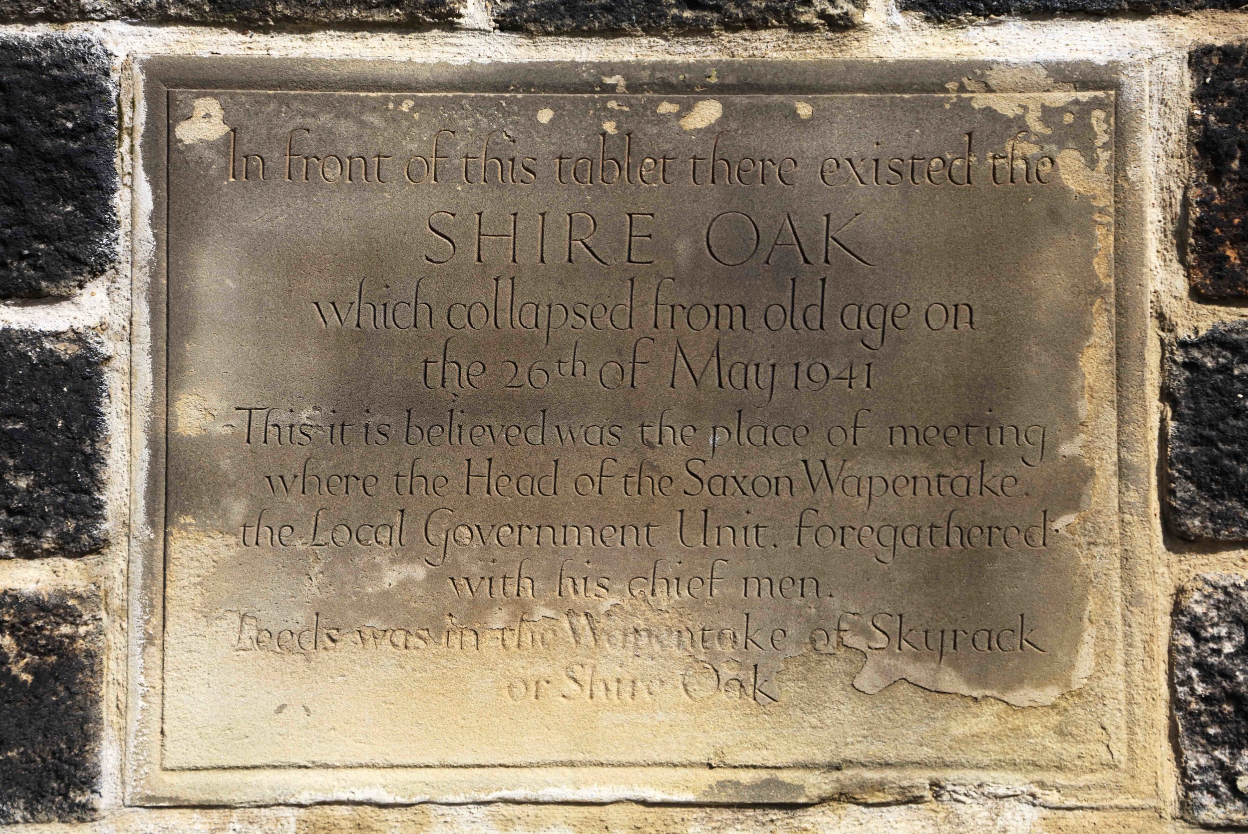
For historic photographs of the area, go to Historic Headingley Centre.
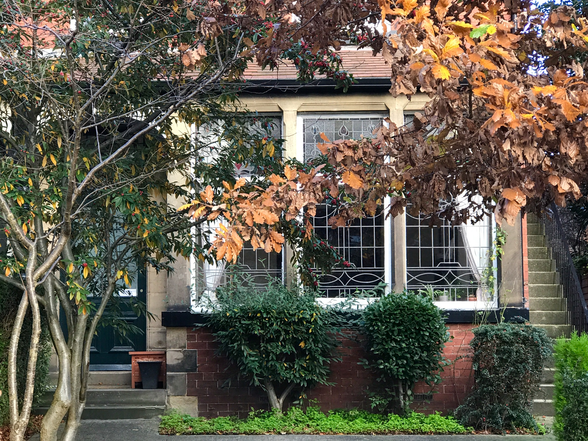
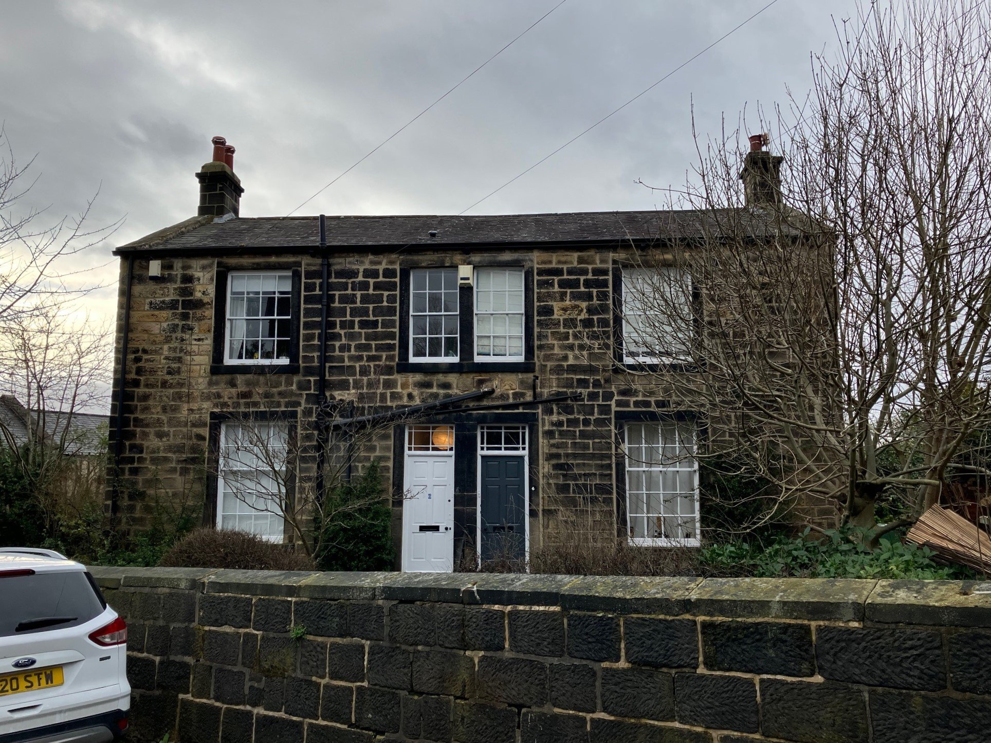
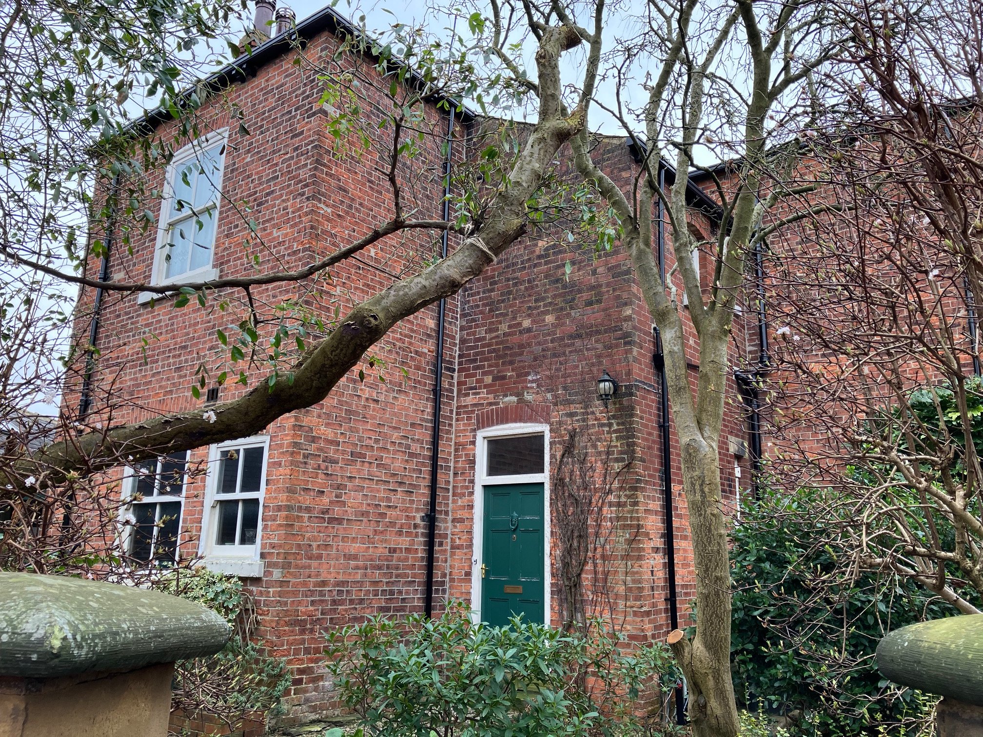
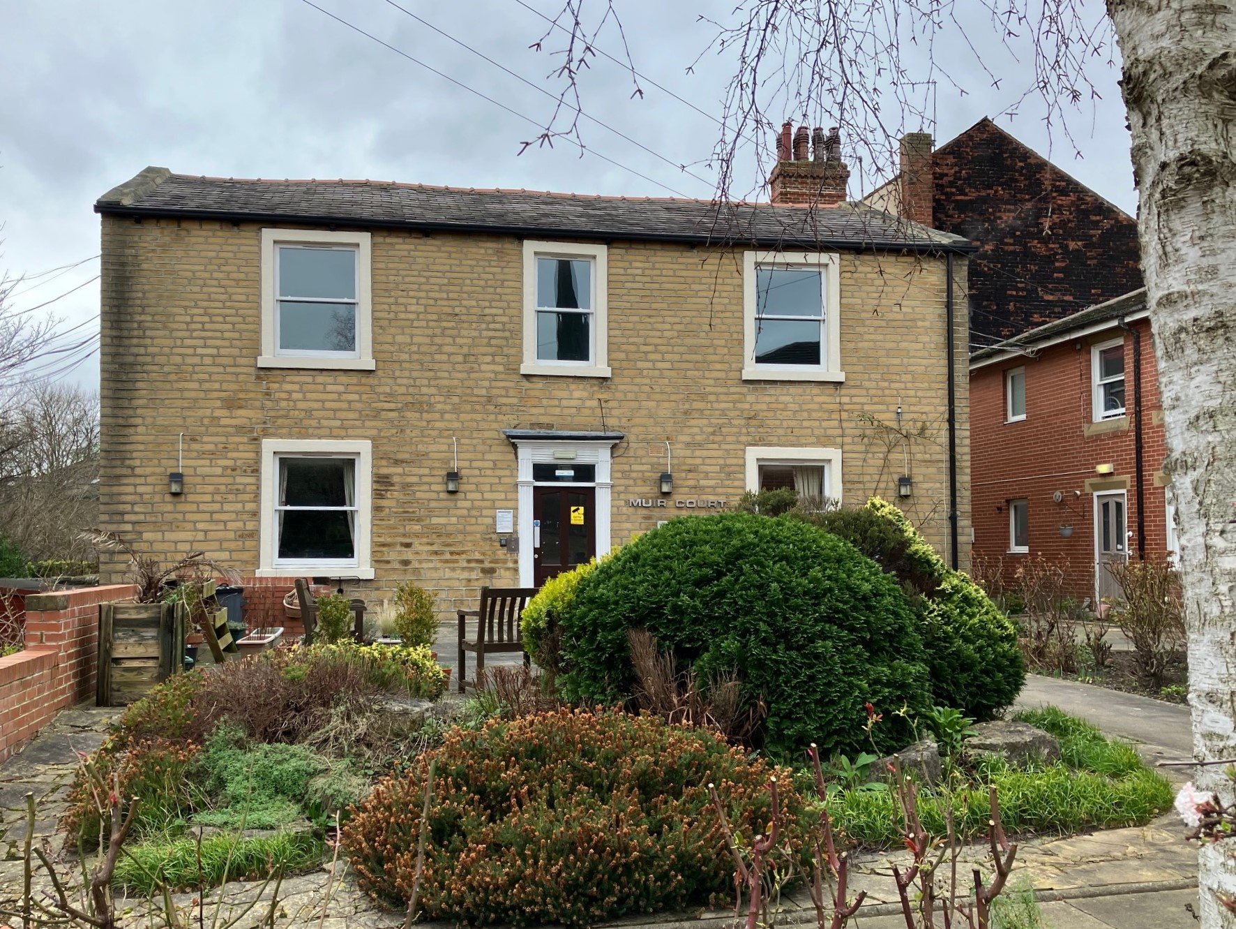
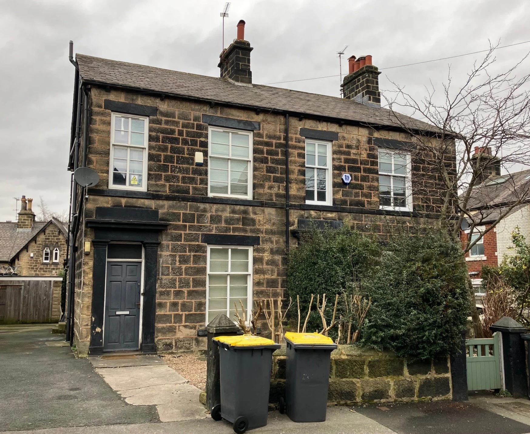
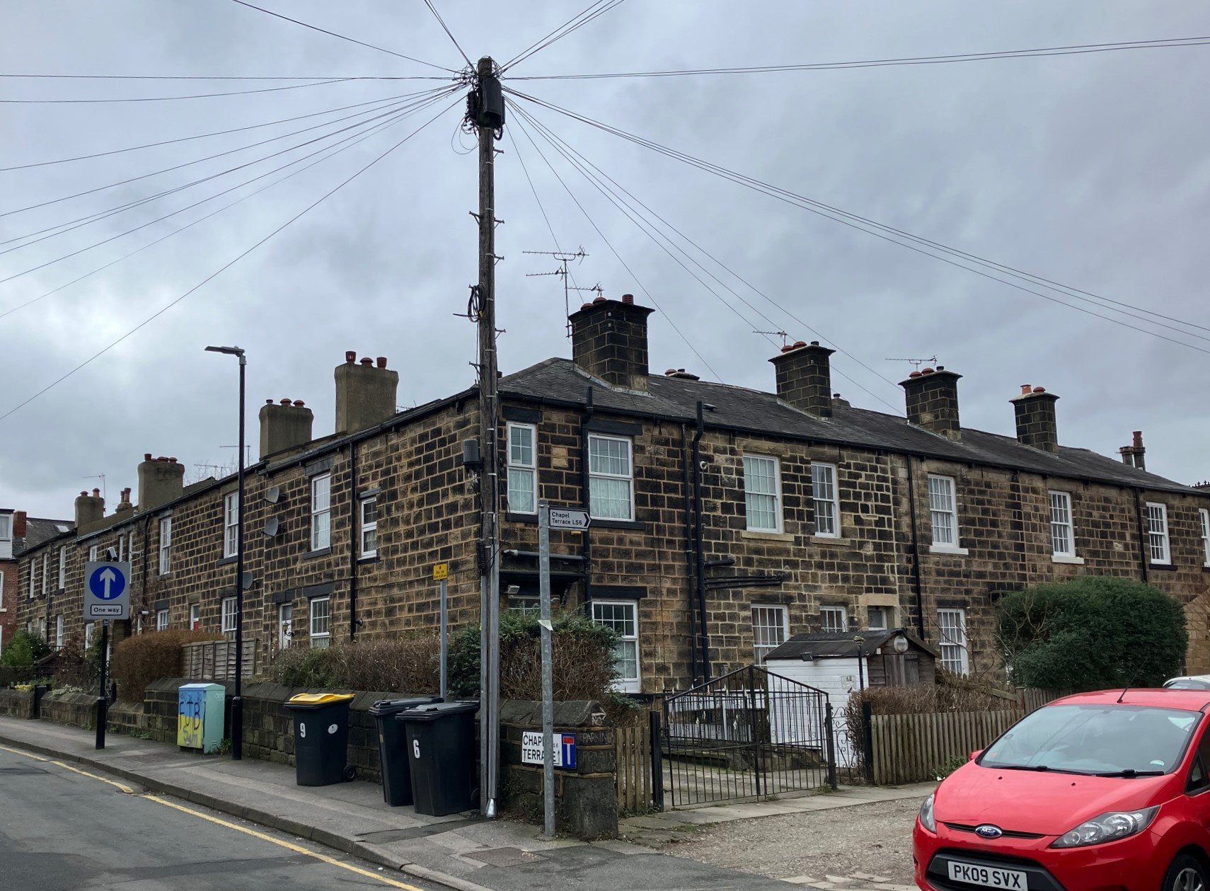
For photos of other neighbourhoods, go to Headingley Now.
Photographs by kind permission of Jerry Hardman-Jones (JHJ), Helen Pickering (HP), Alan Beswick (AB), John Hepworth (JH) and Richard Tyler (RT). Photographs are subject to copyright and should not be reproduced without the owner's permission.
Those interested in Headingley may like to join Headingley Development Trust - which follows in the footsteps of previous residents, who invested in Headingley - and made it Leeds Number One Suburb!
