
South Headingley
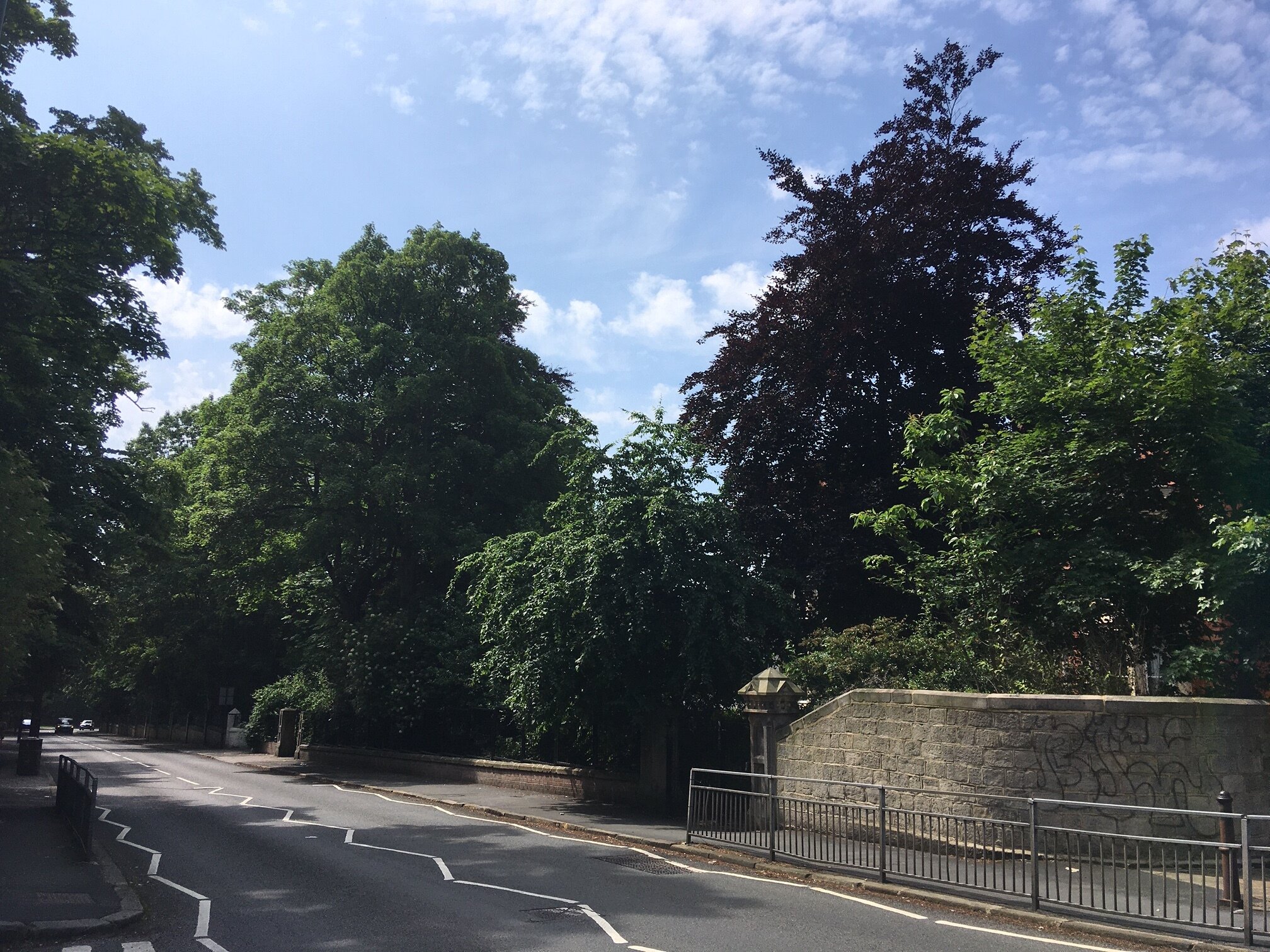
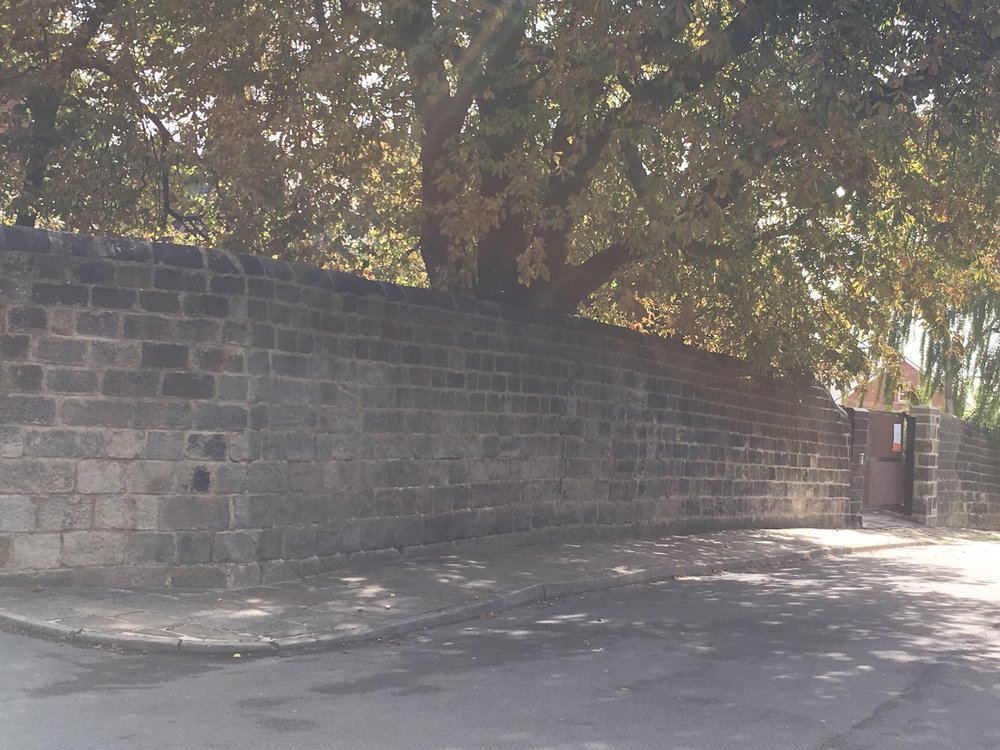
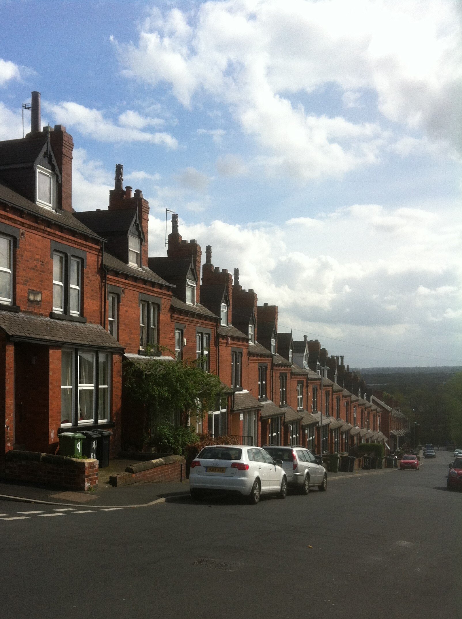
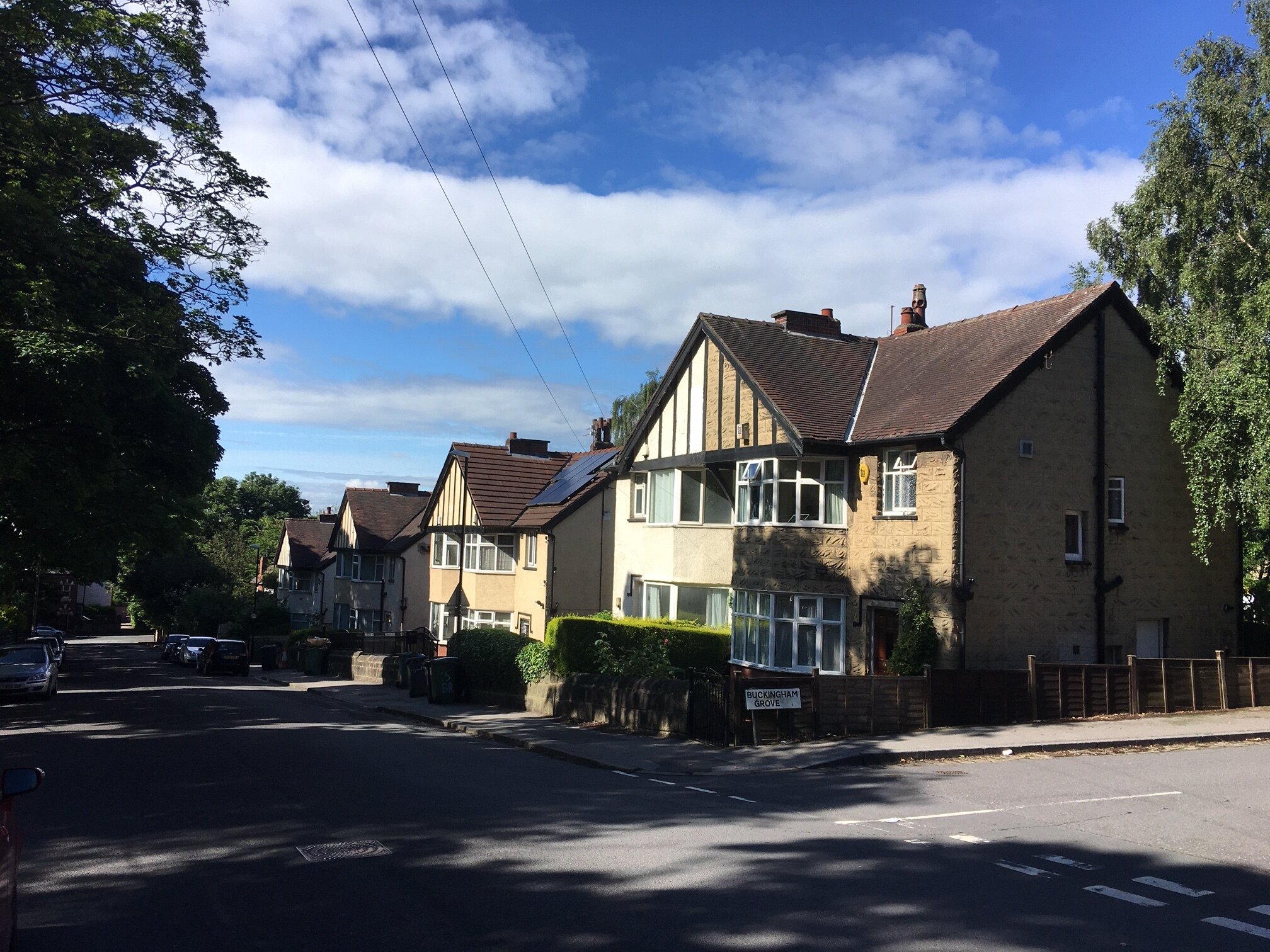
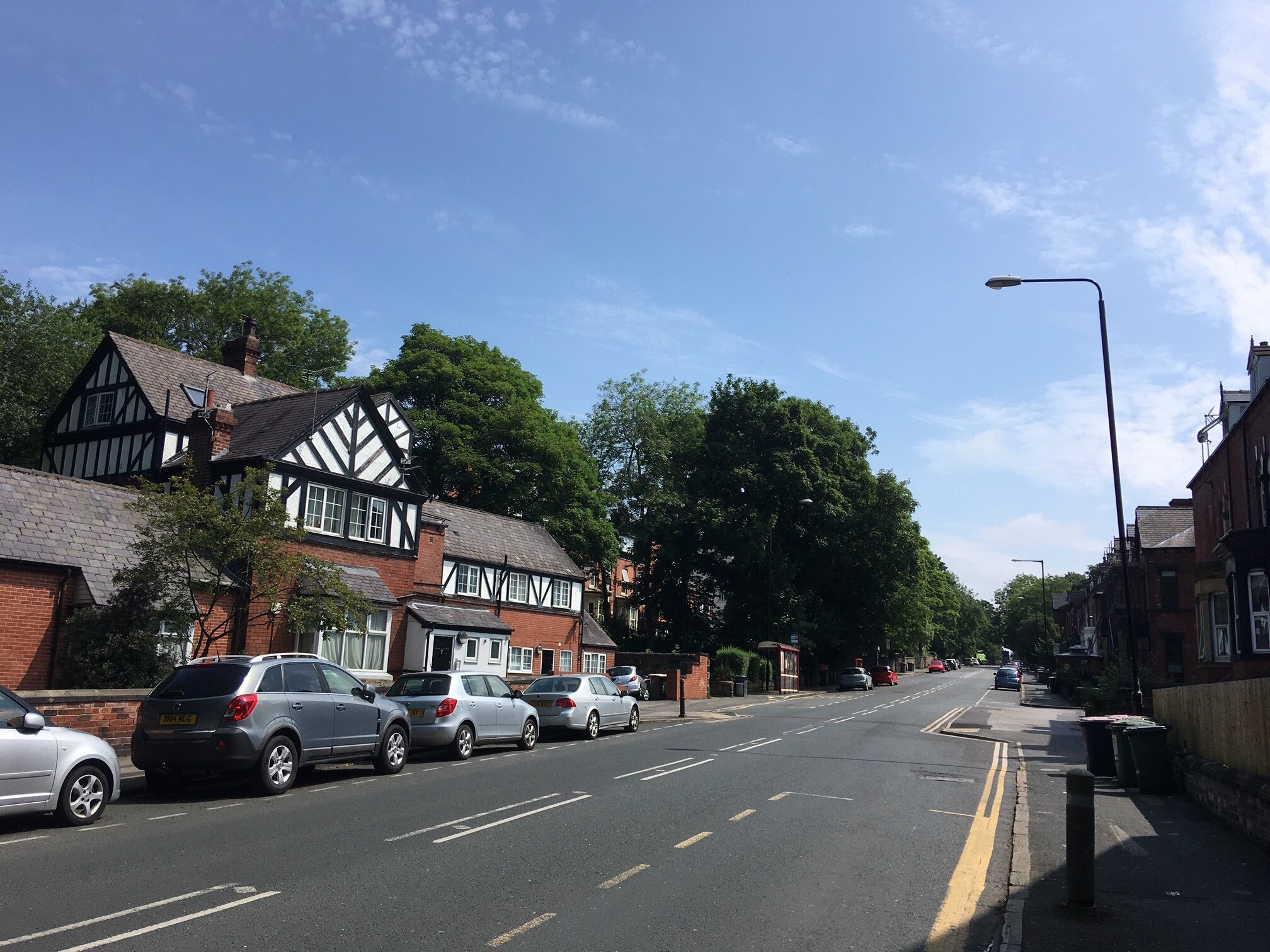
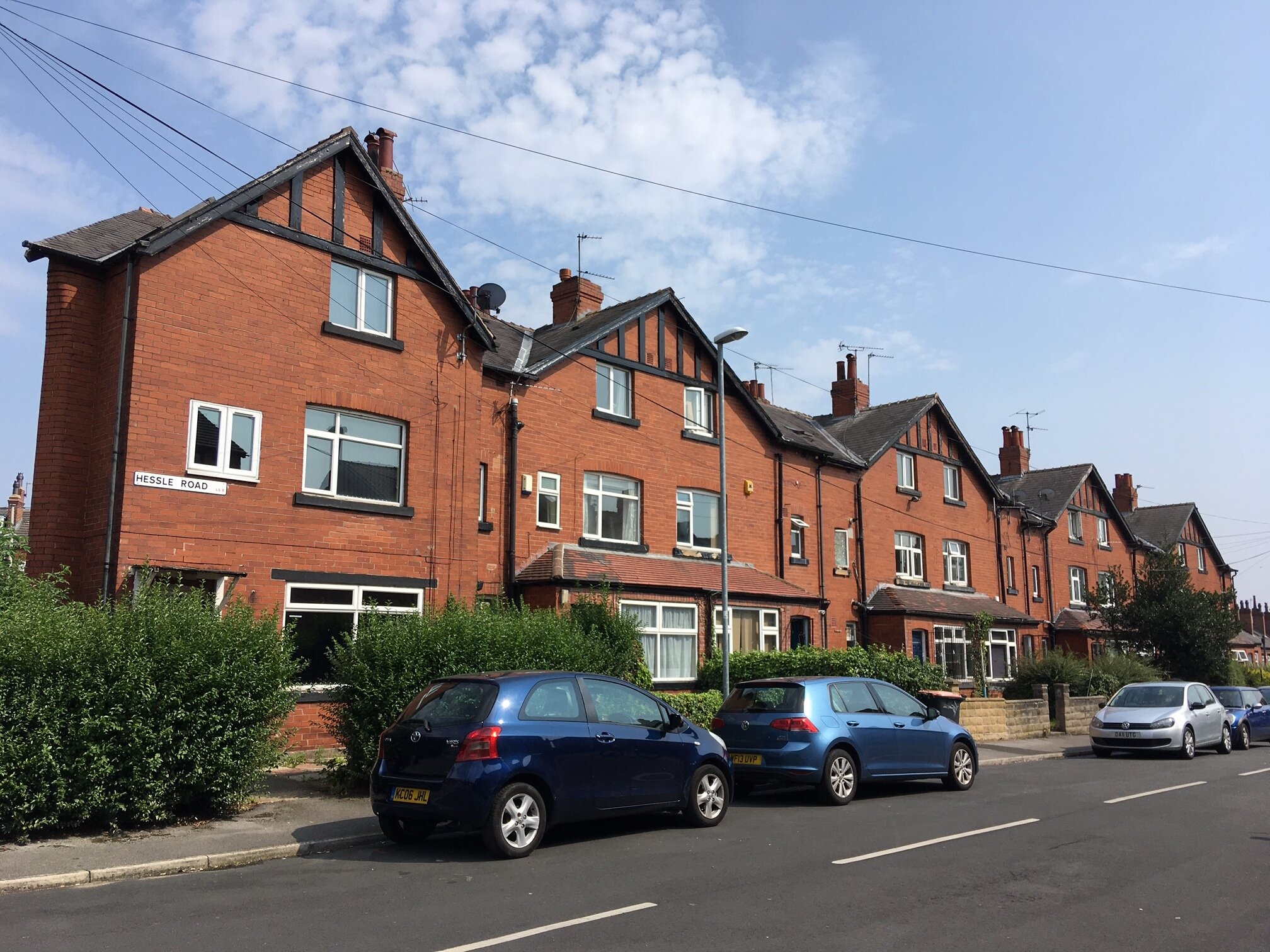
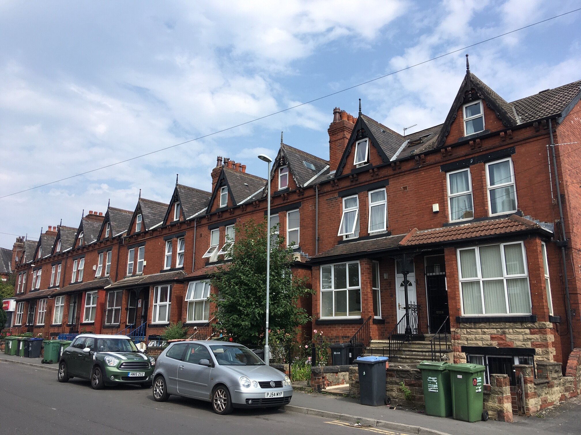
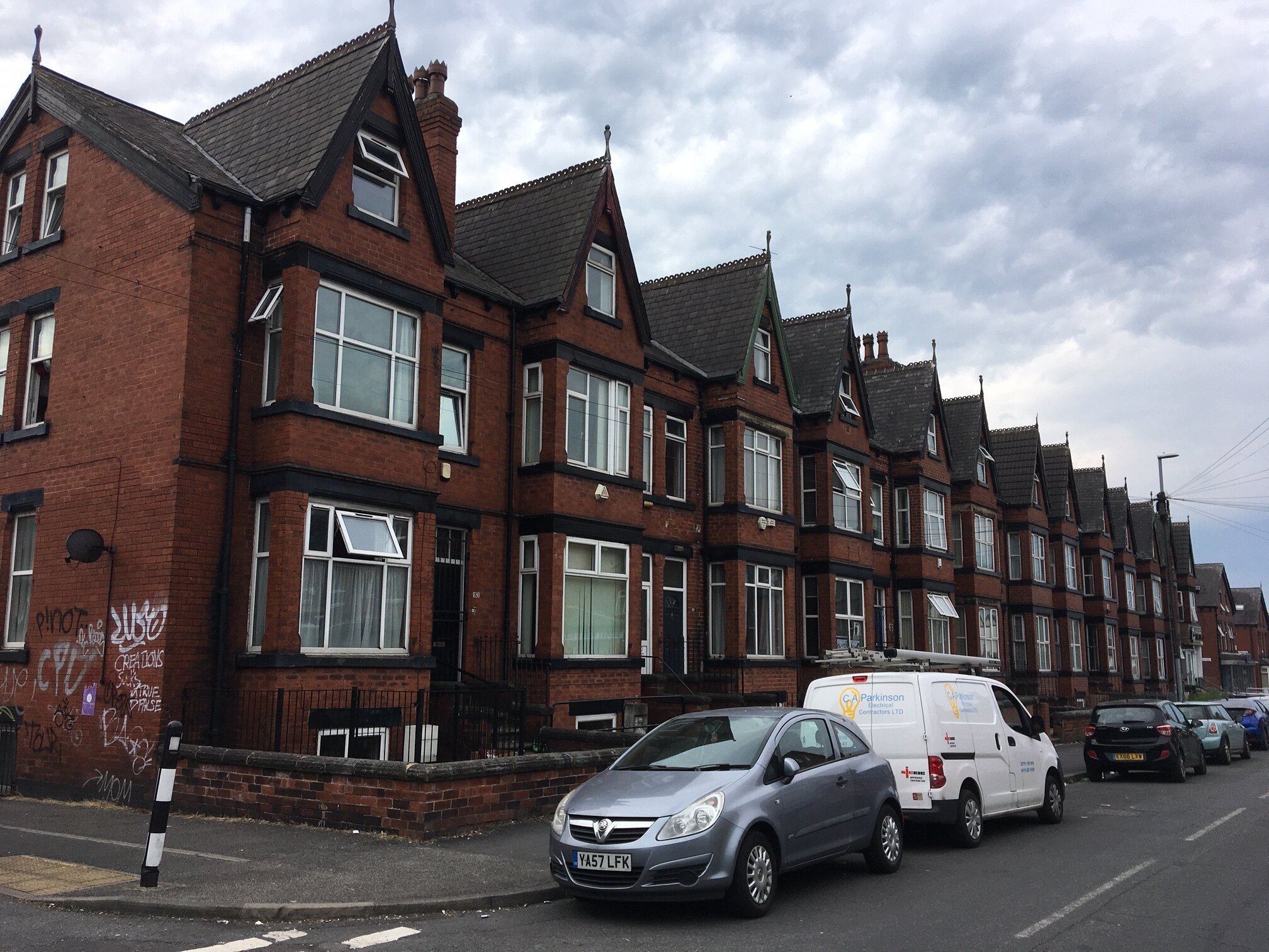
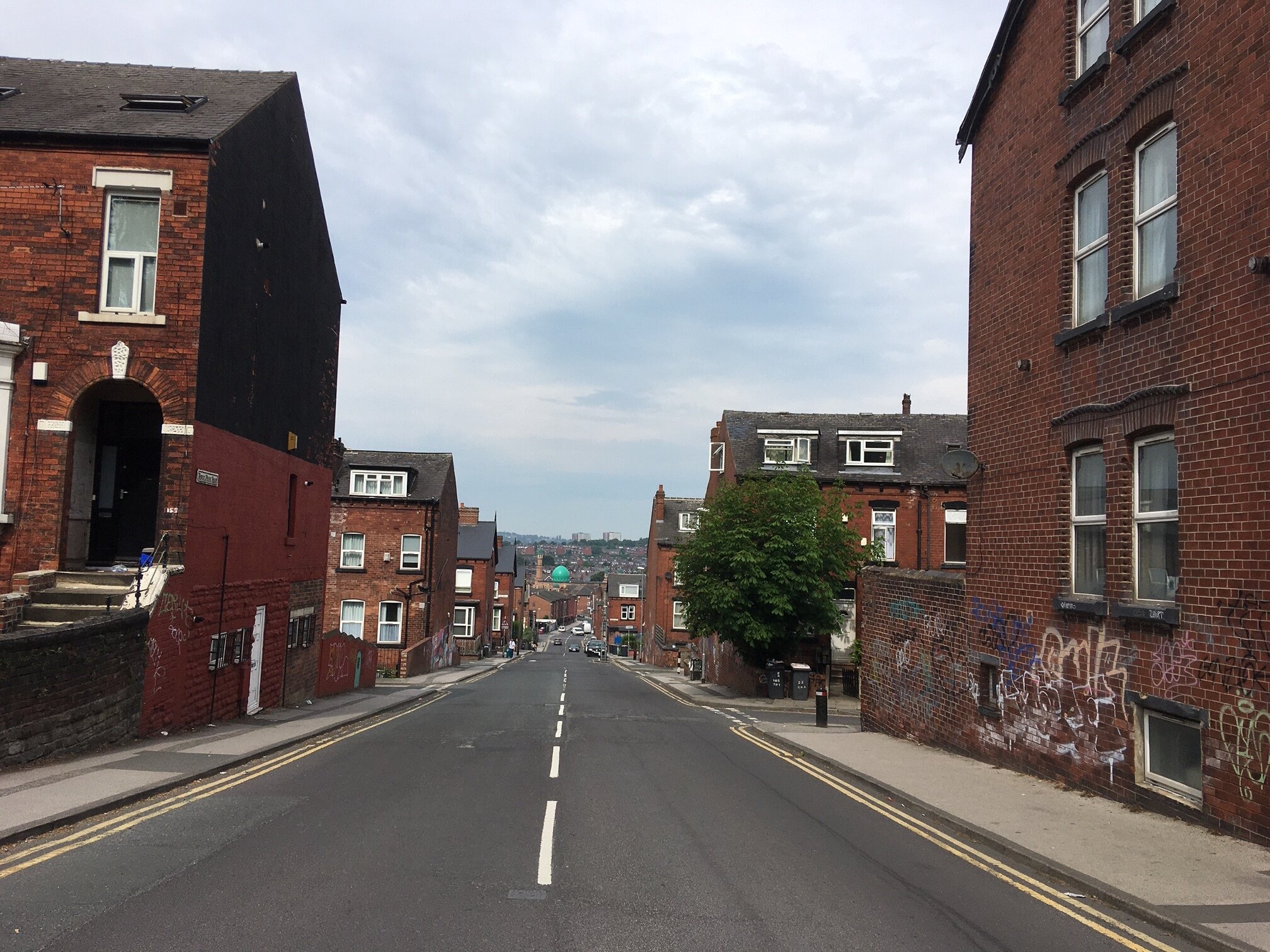
South Headingley slopes down south from Headingley Lane to Royal Park Road, and from Woodhouse Moor down west to the Harrogate railway line. See the downloadable map on the Home page.
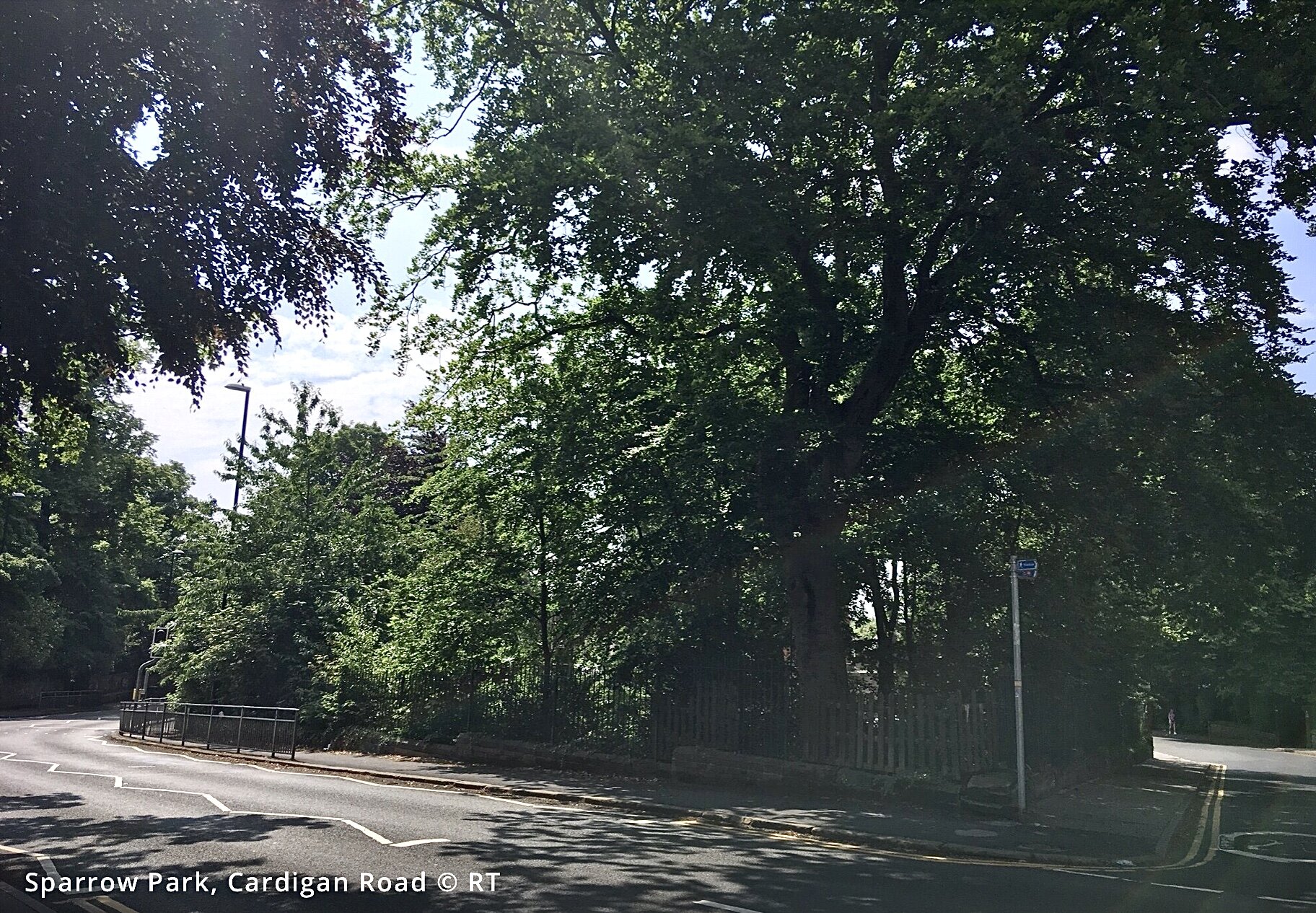
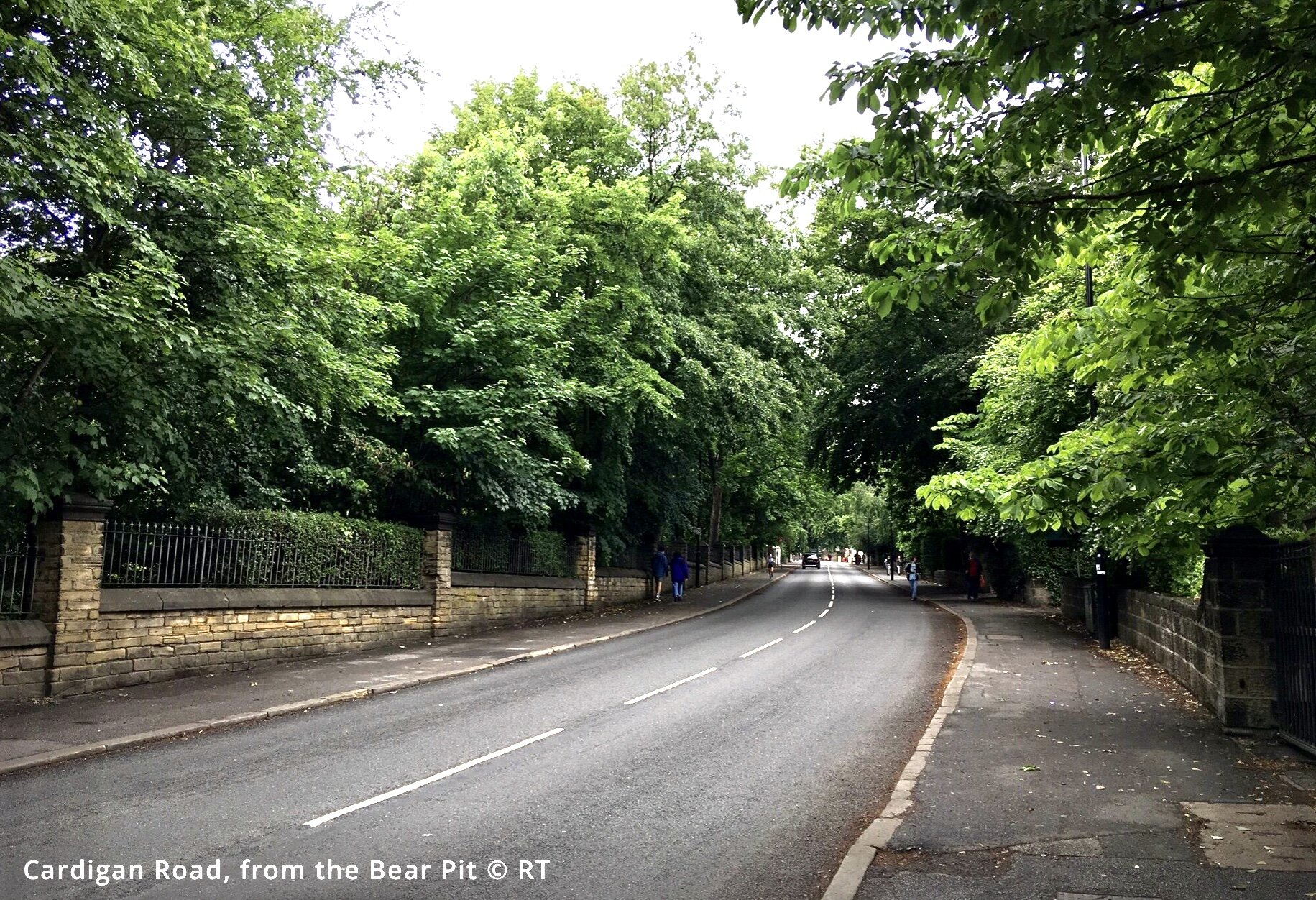
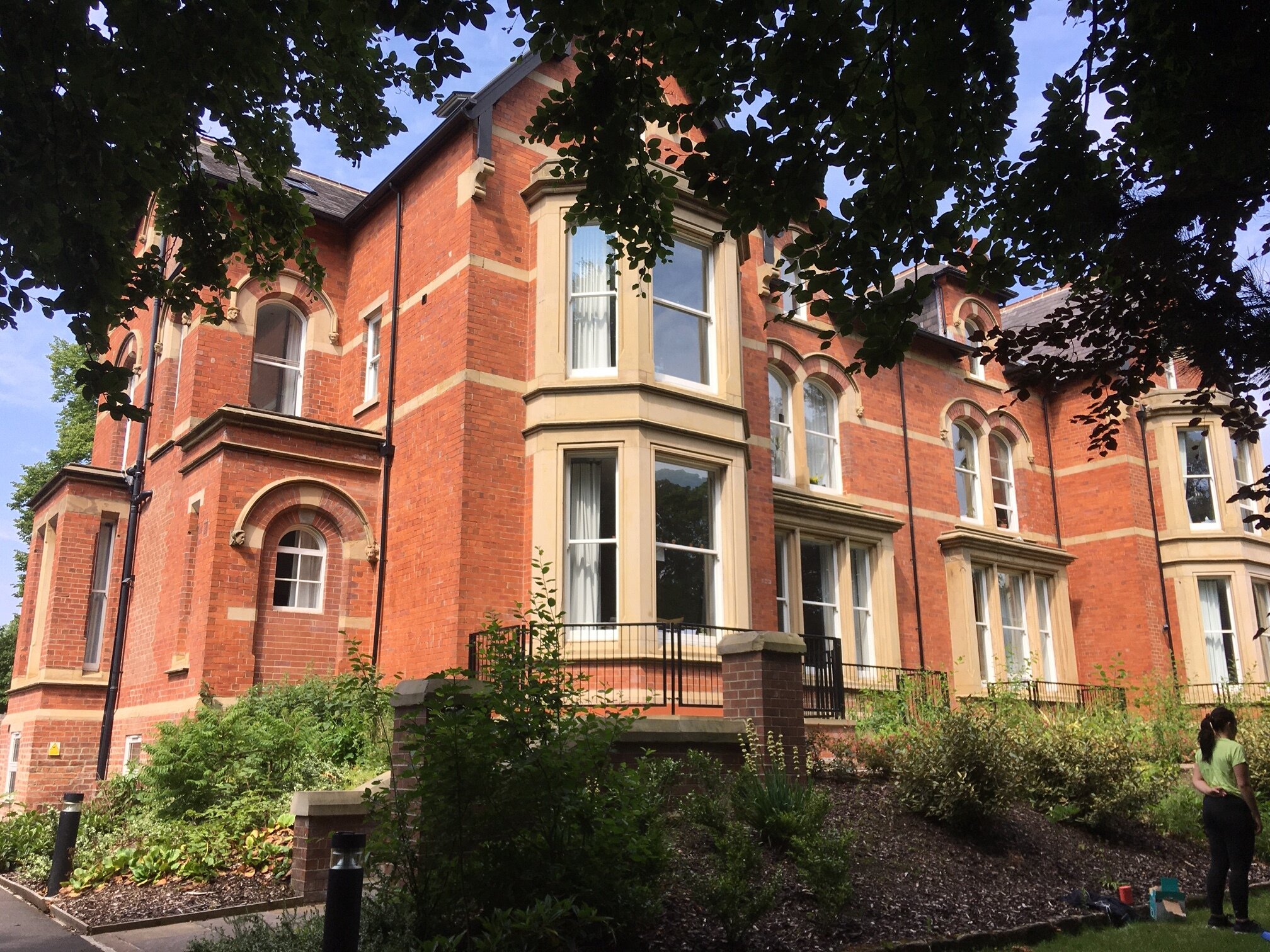
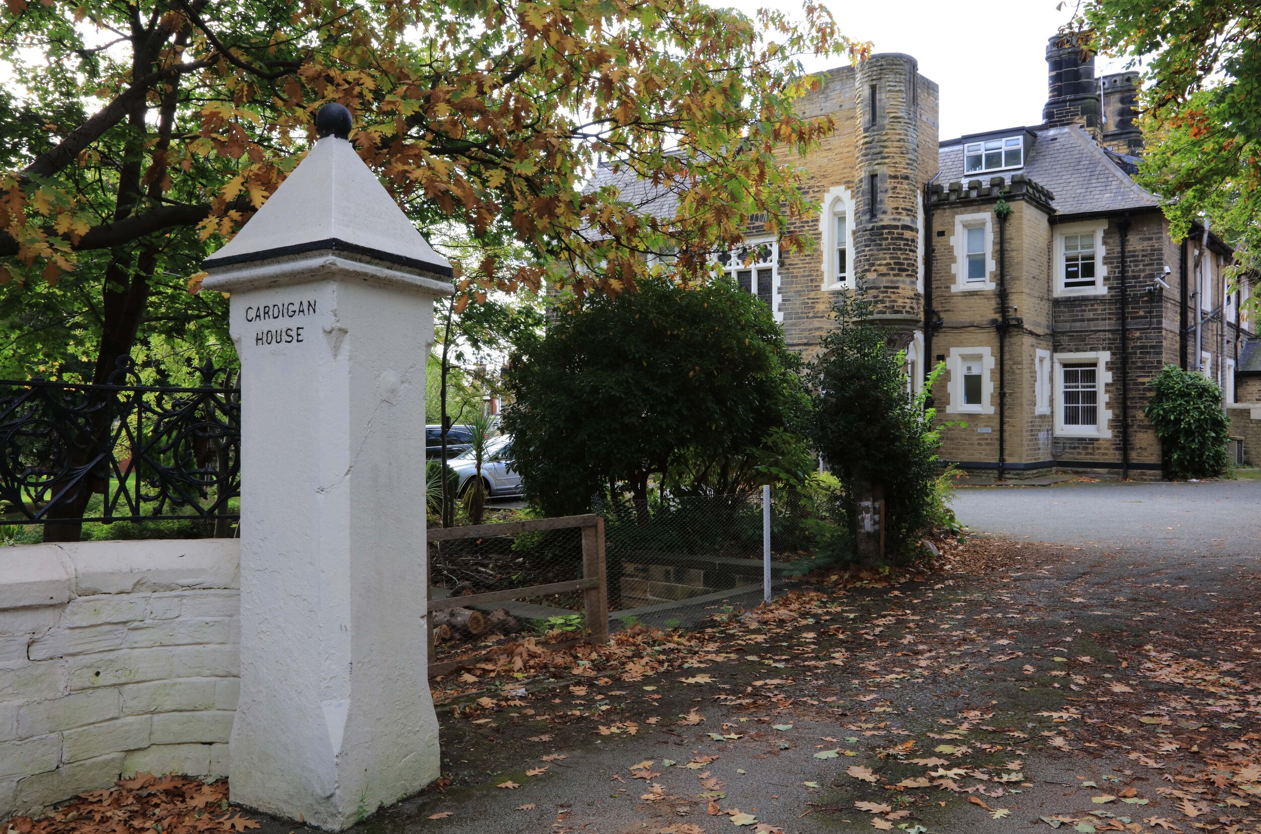
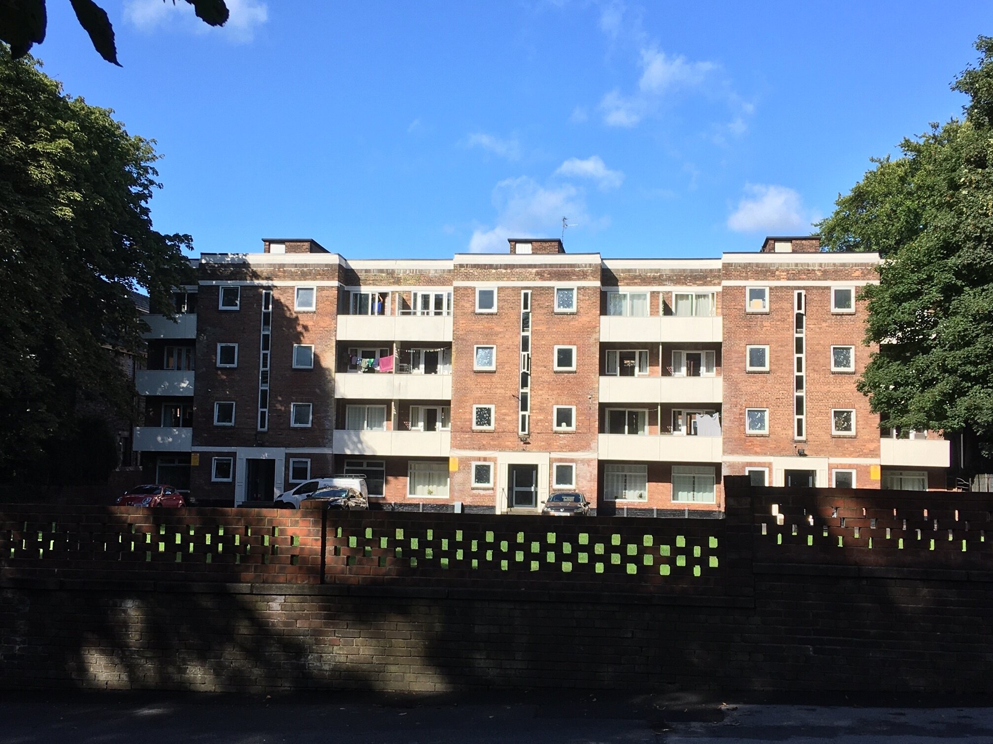
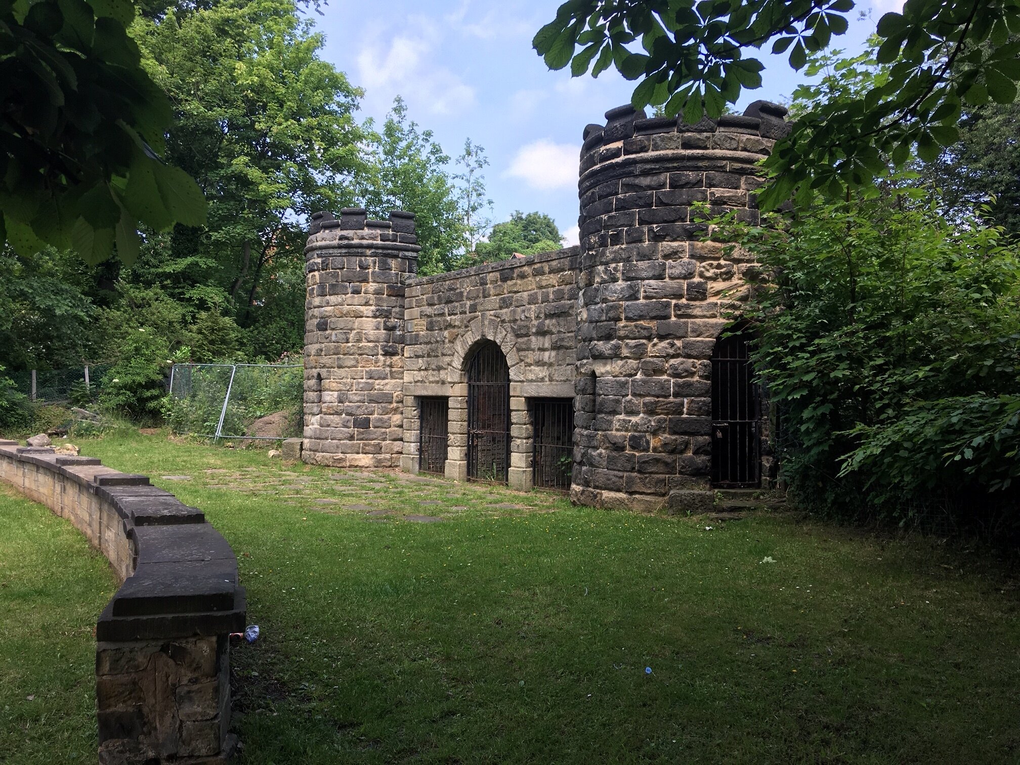
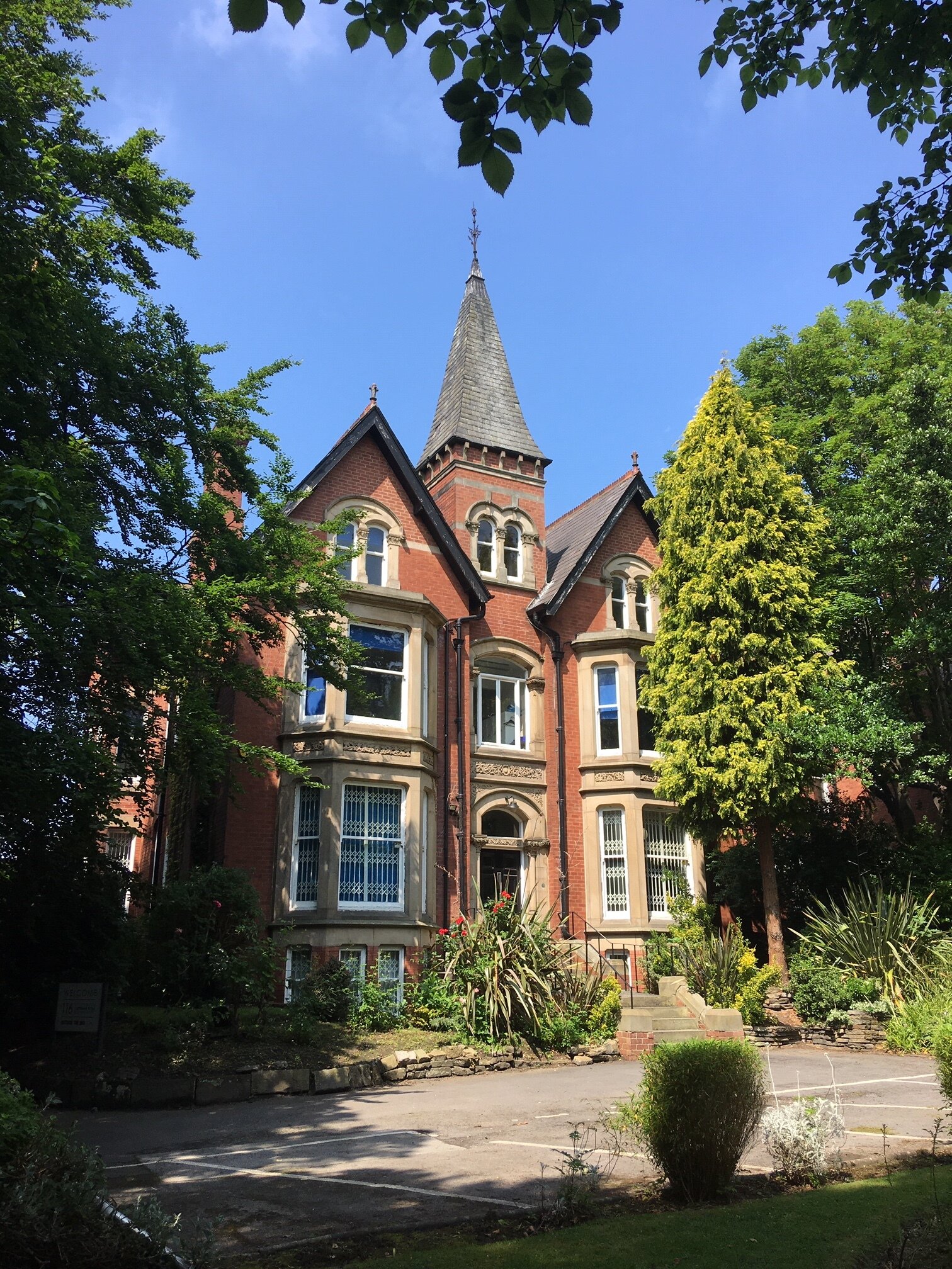
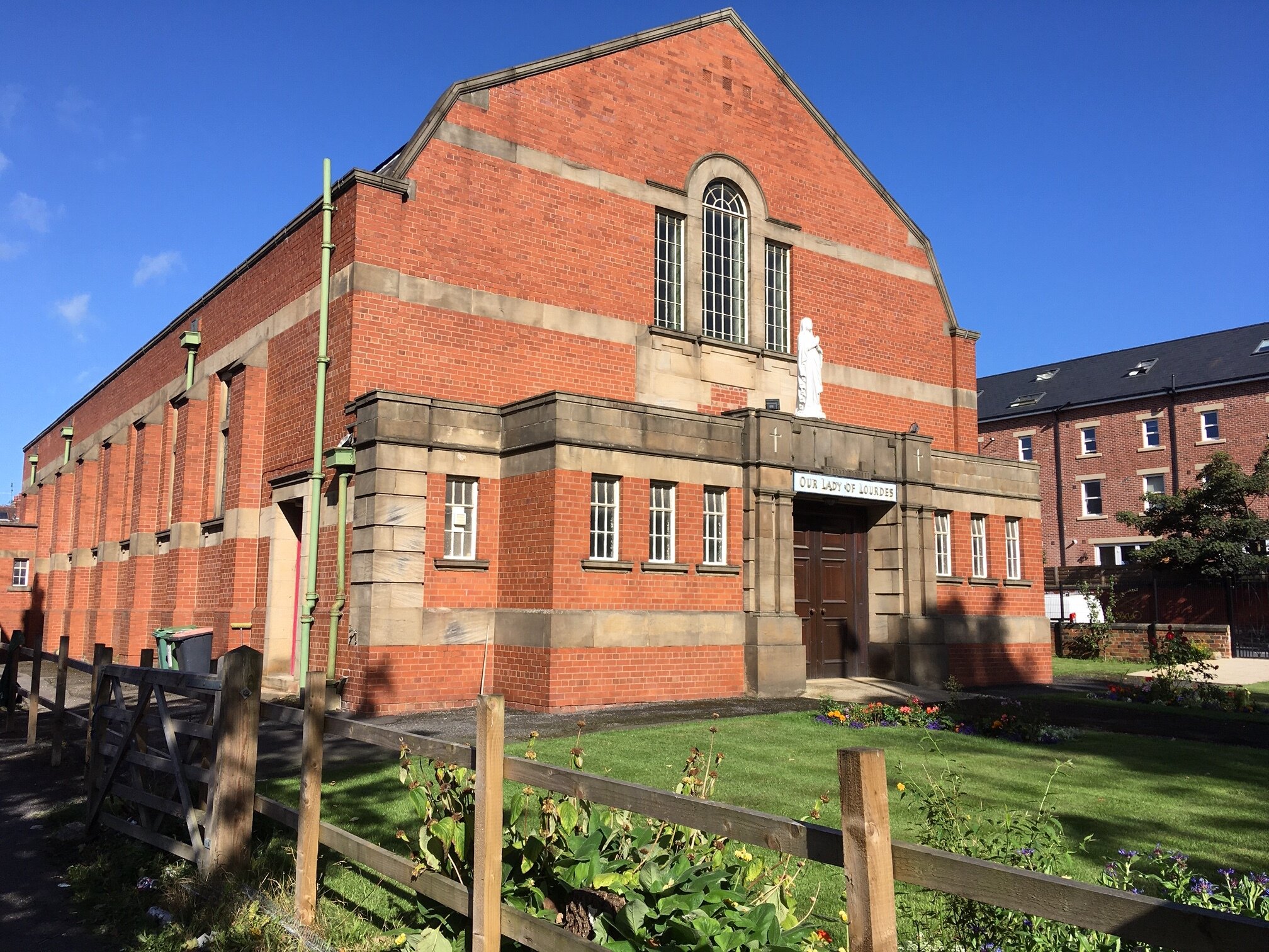
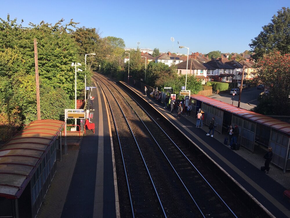
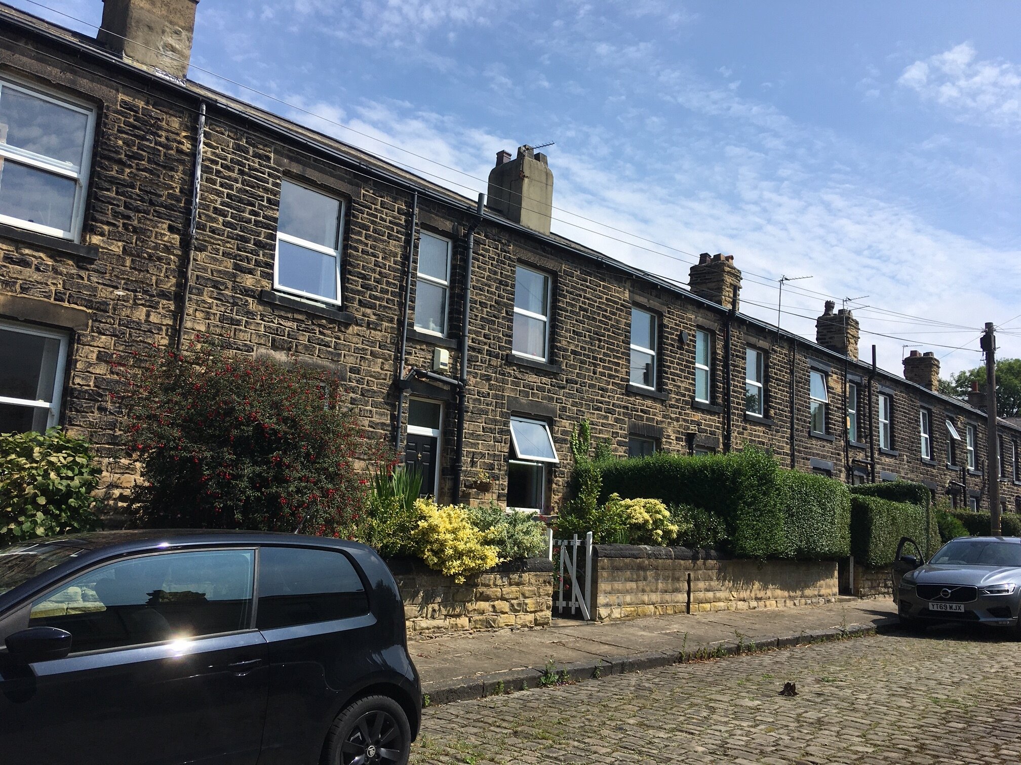
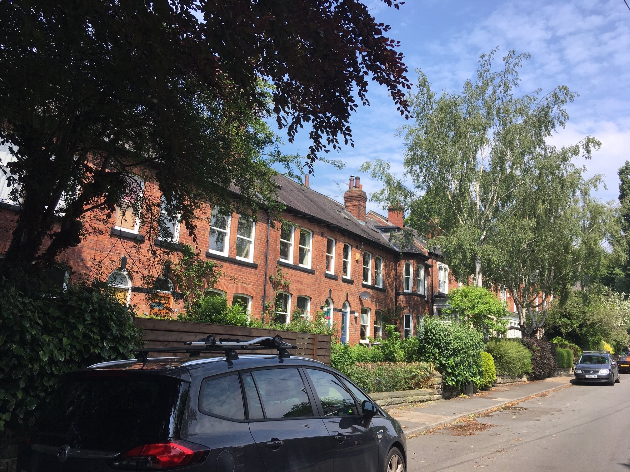
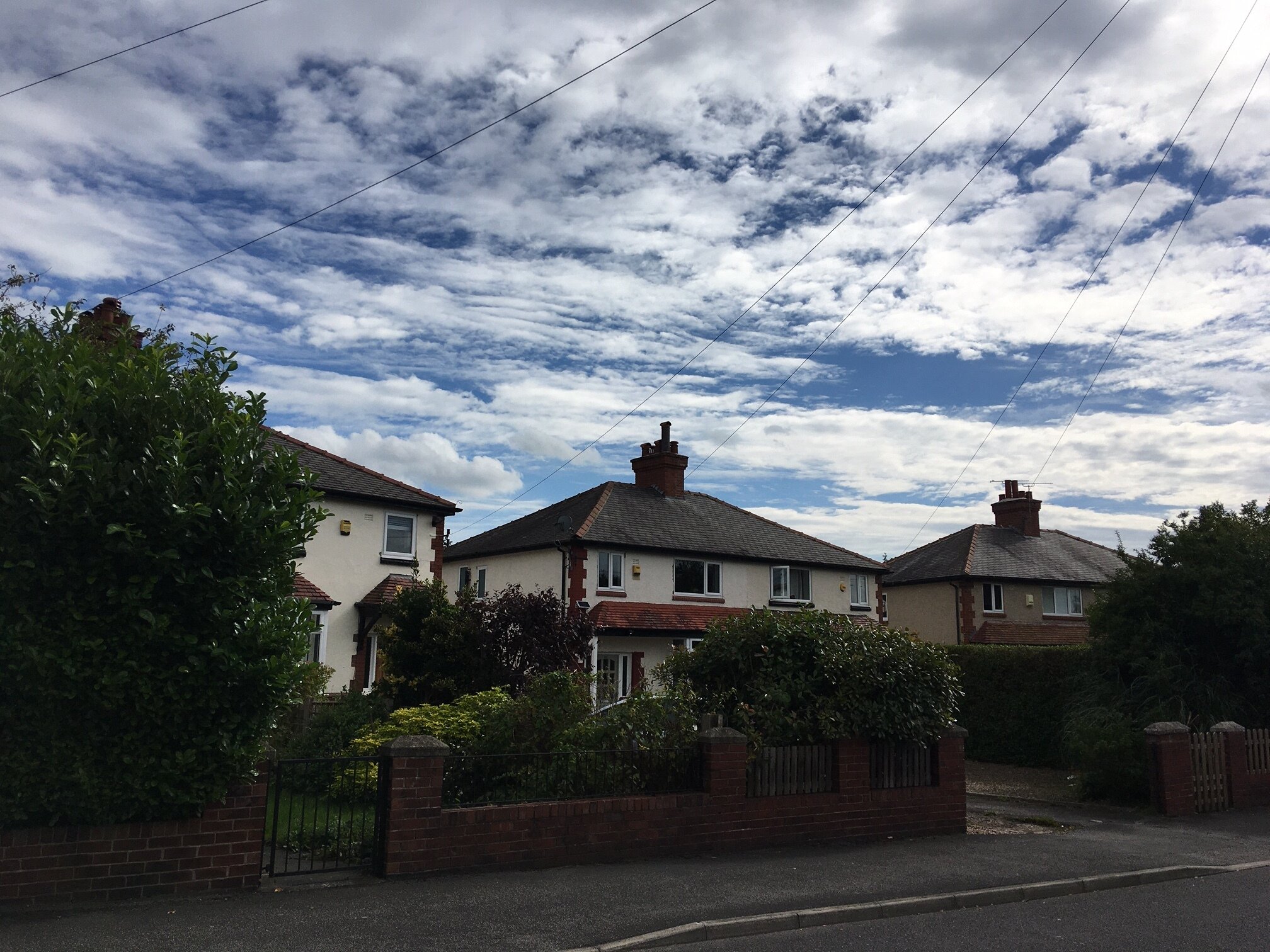
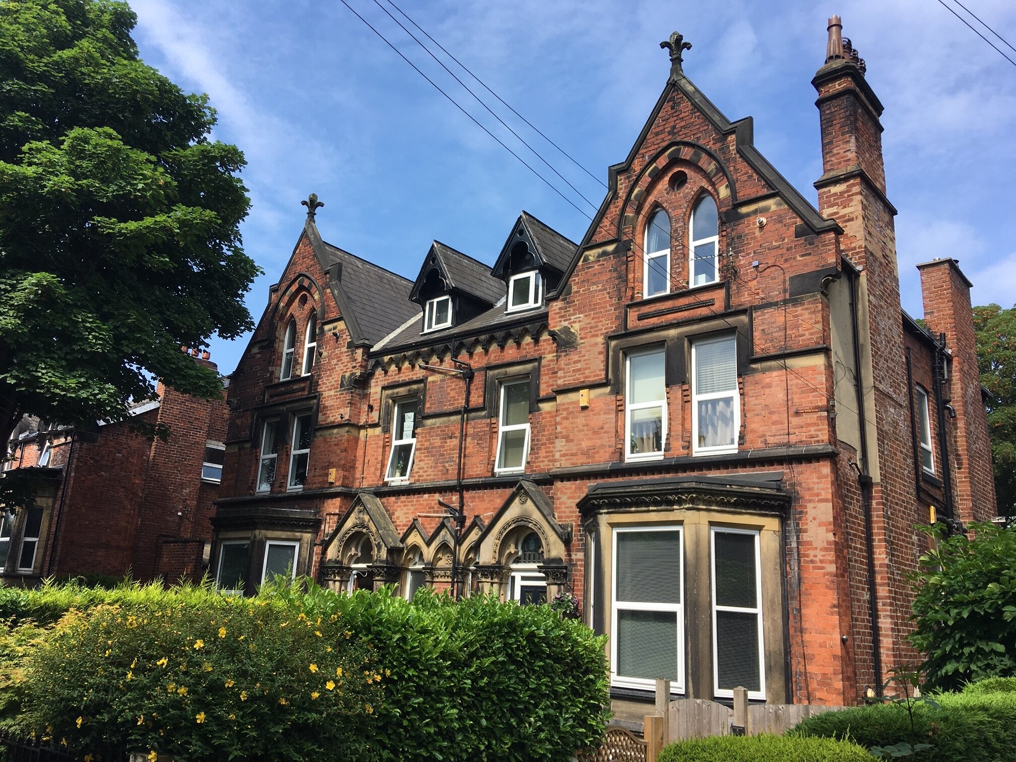
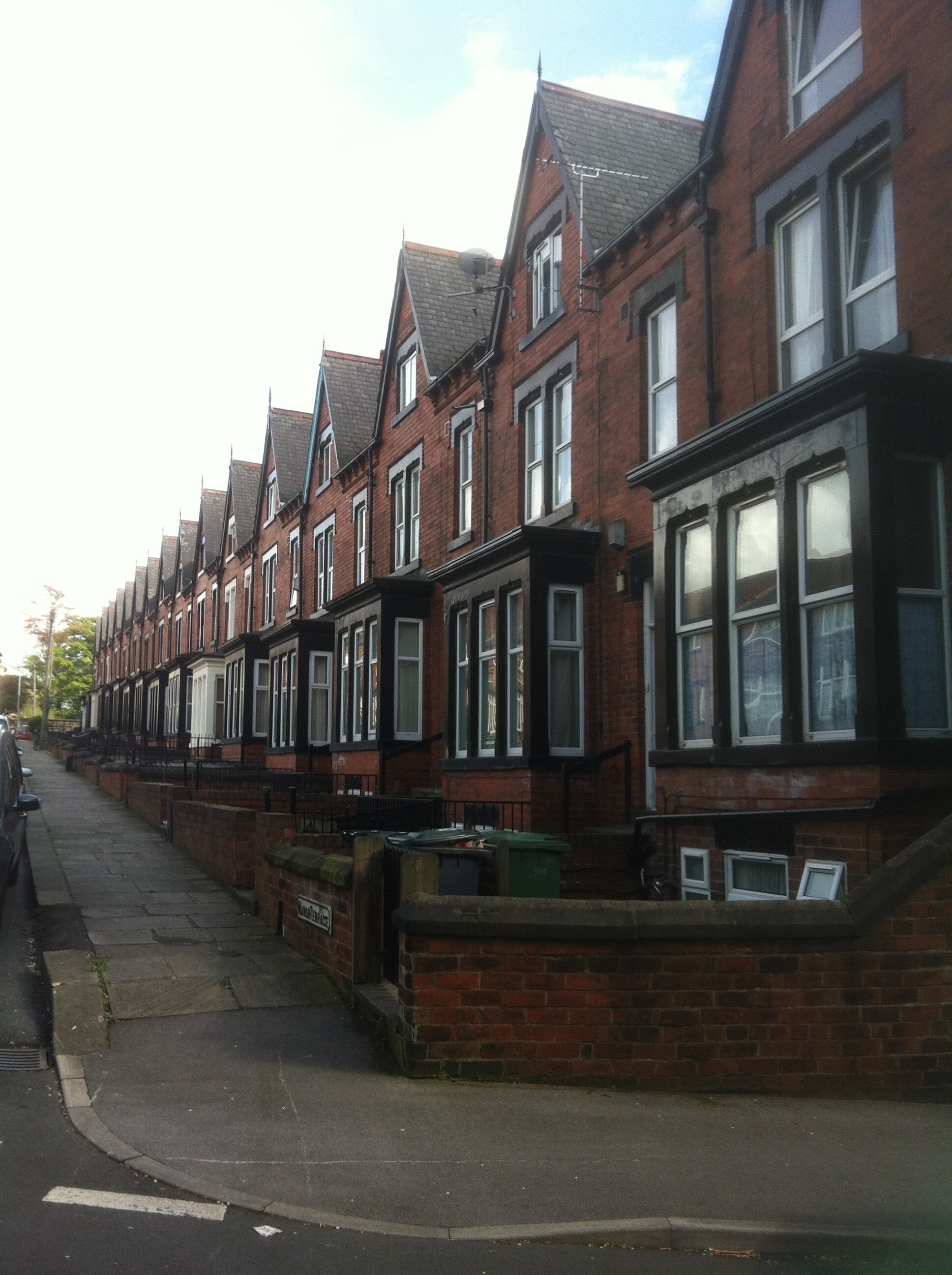
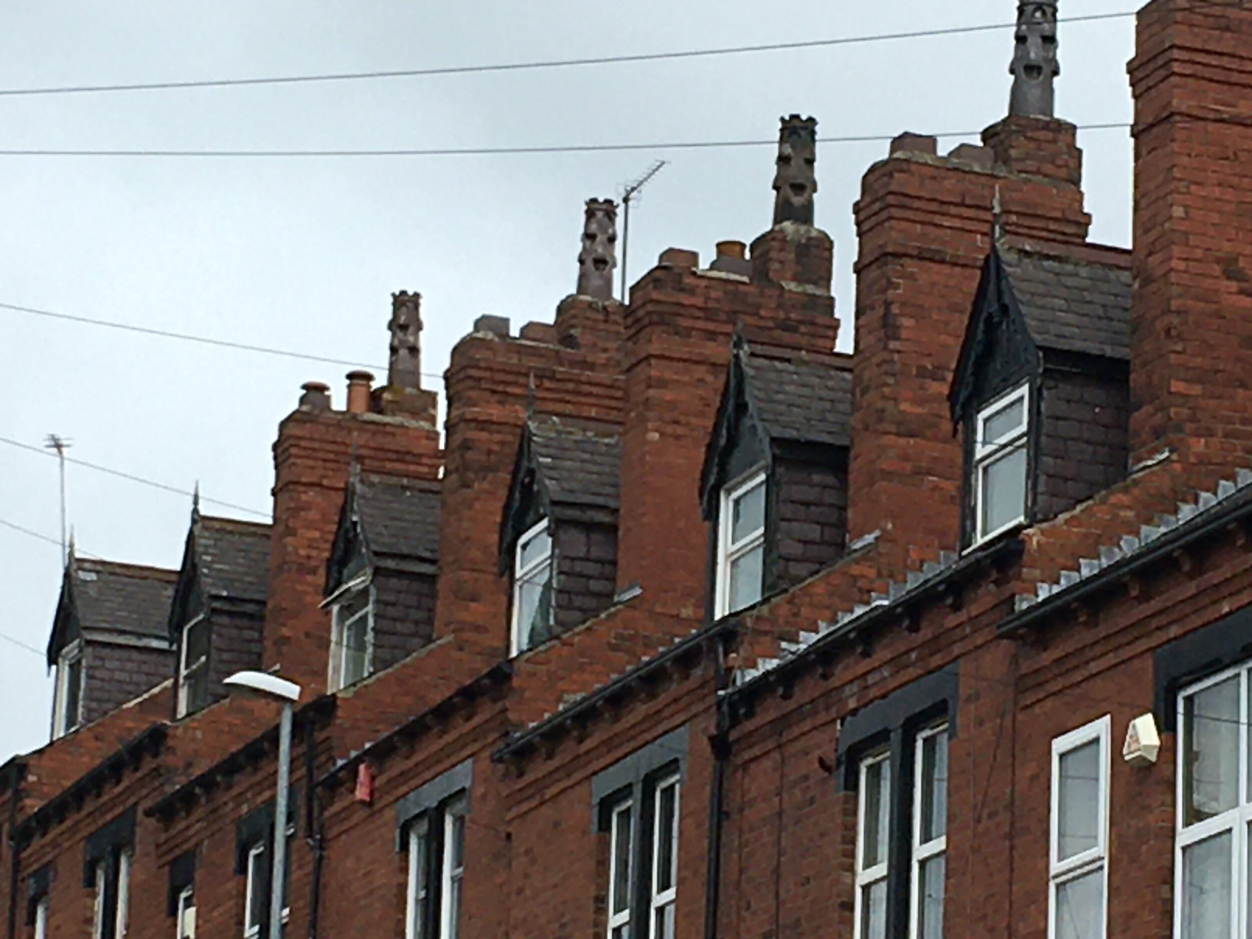
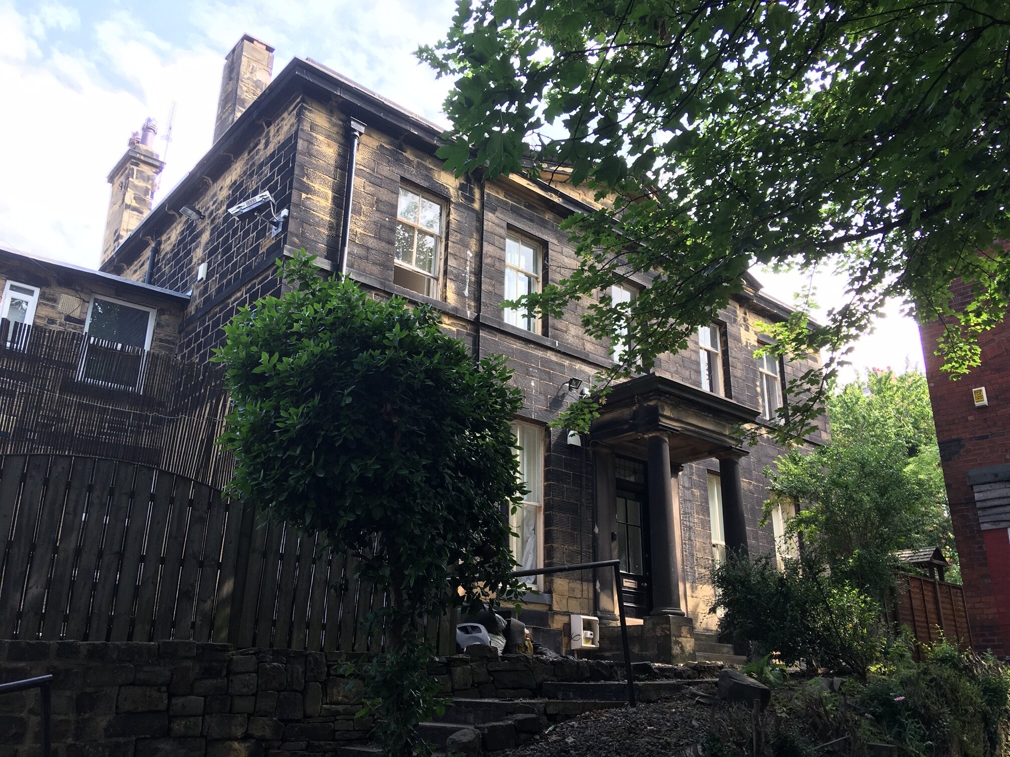
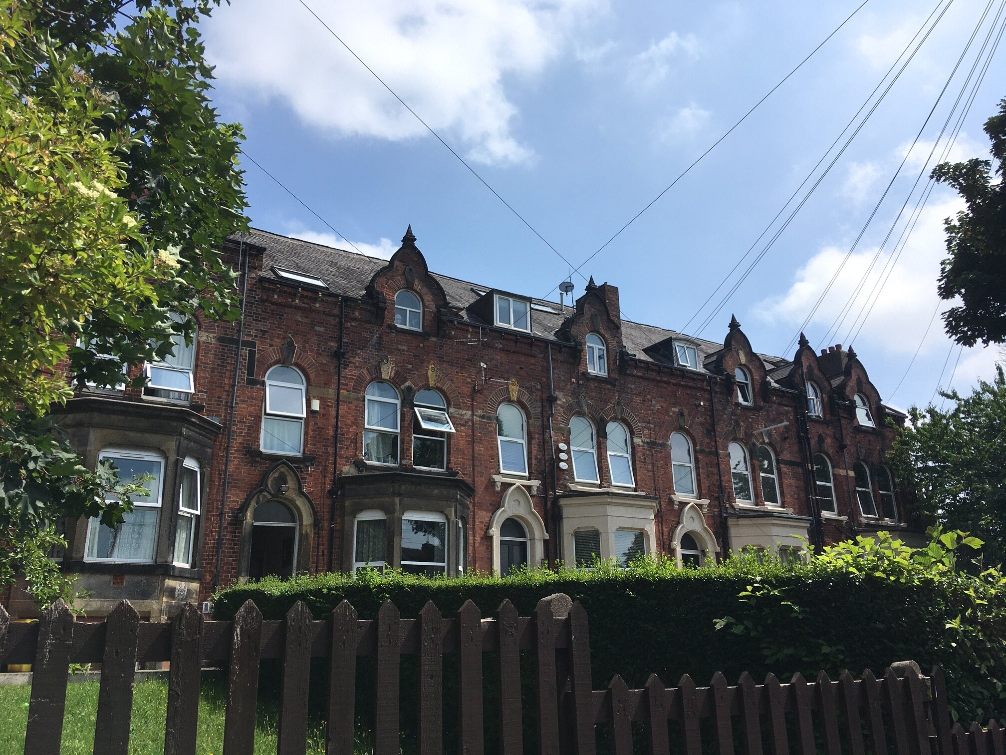
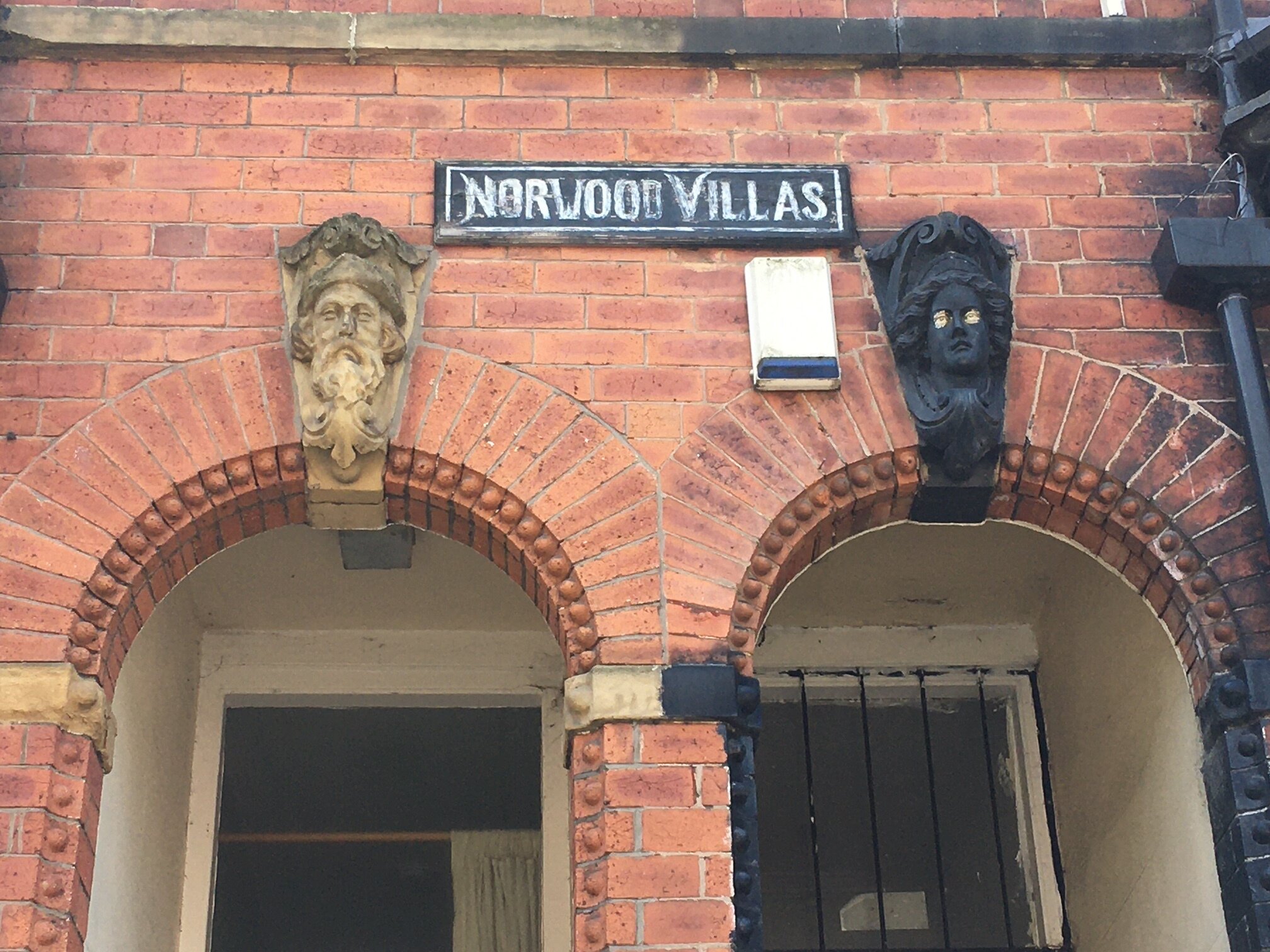
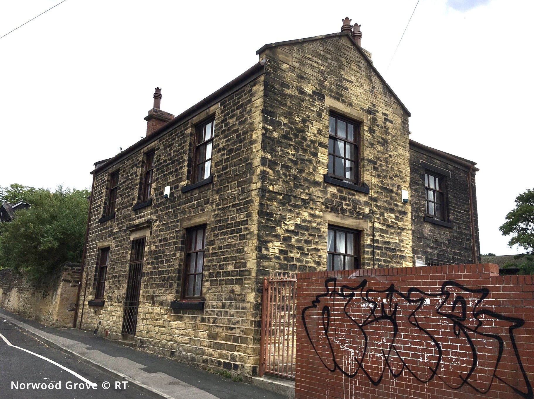
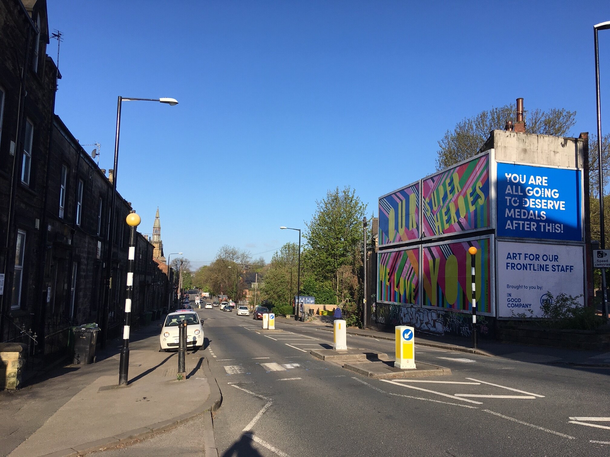
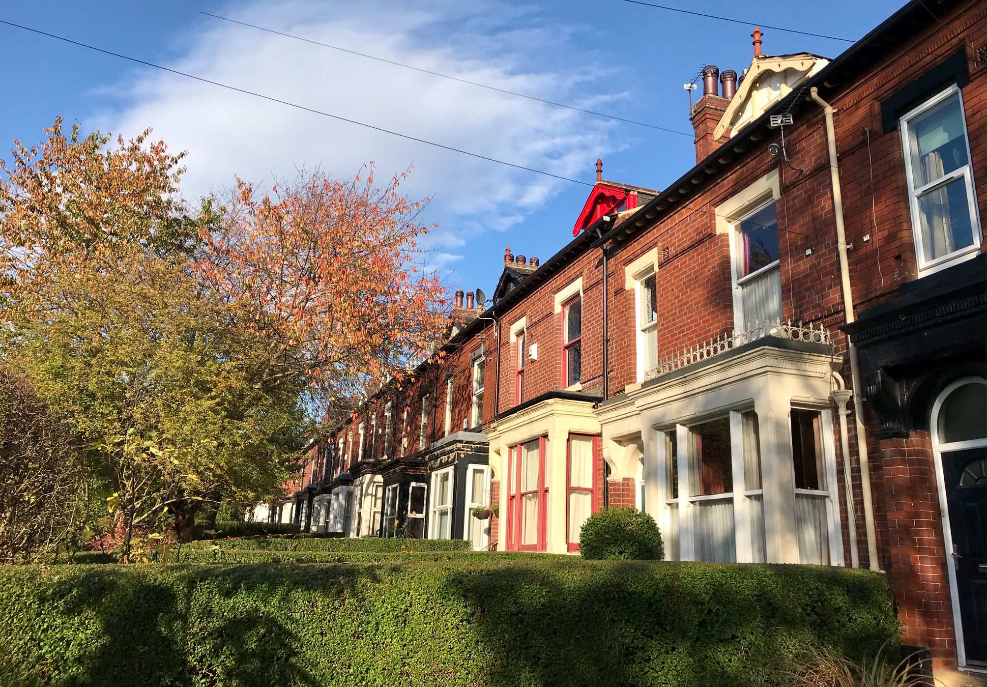
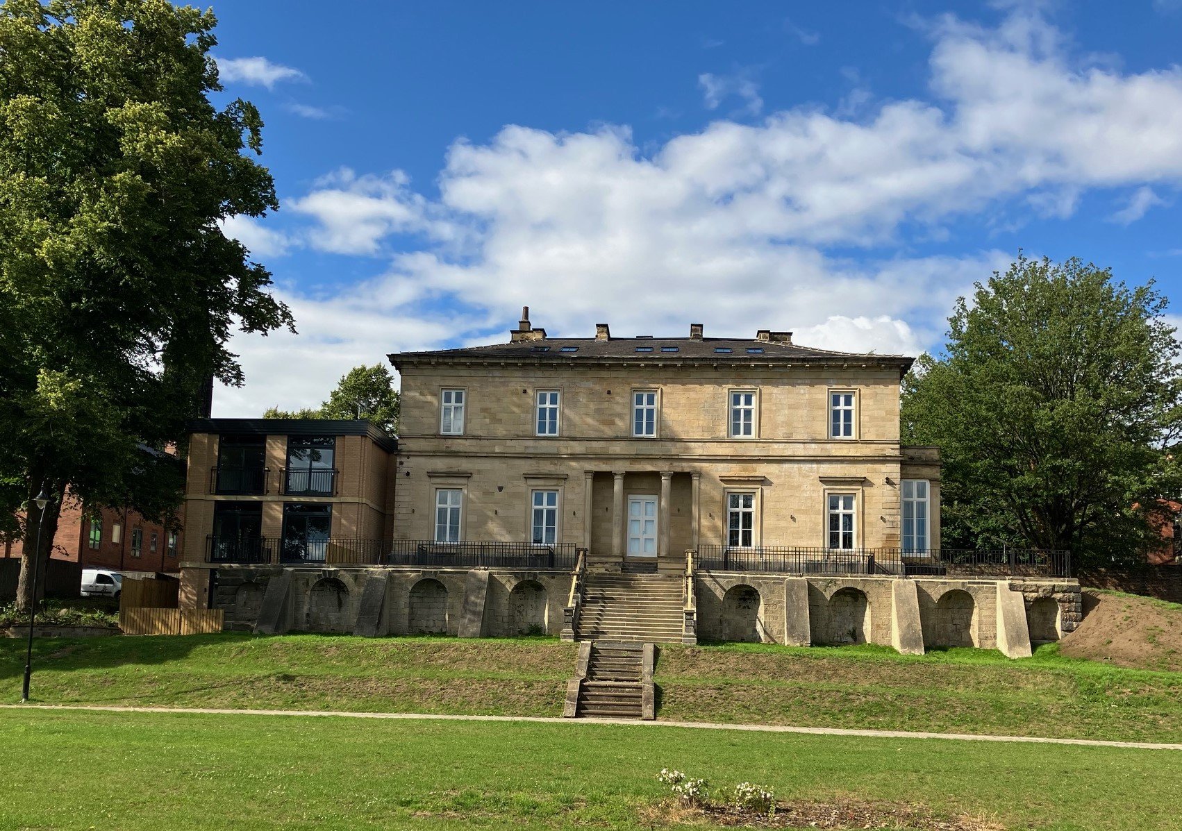
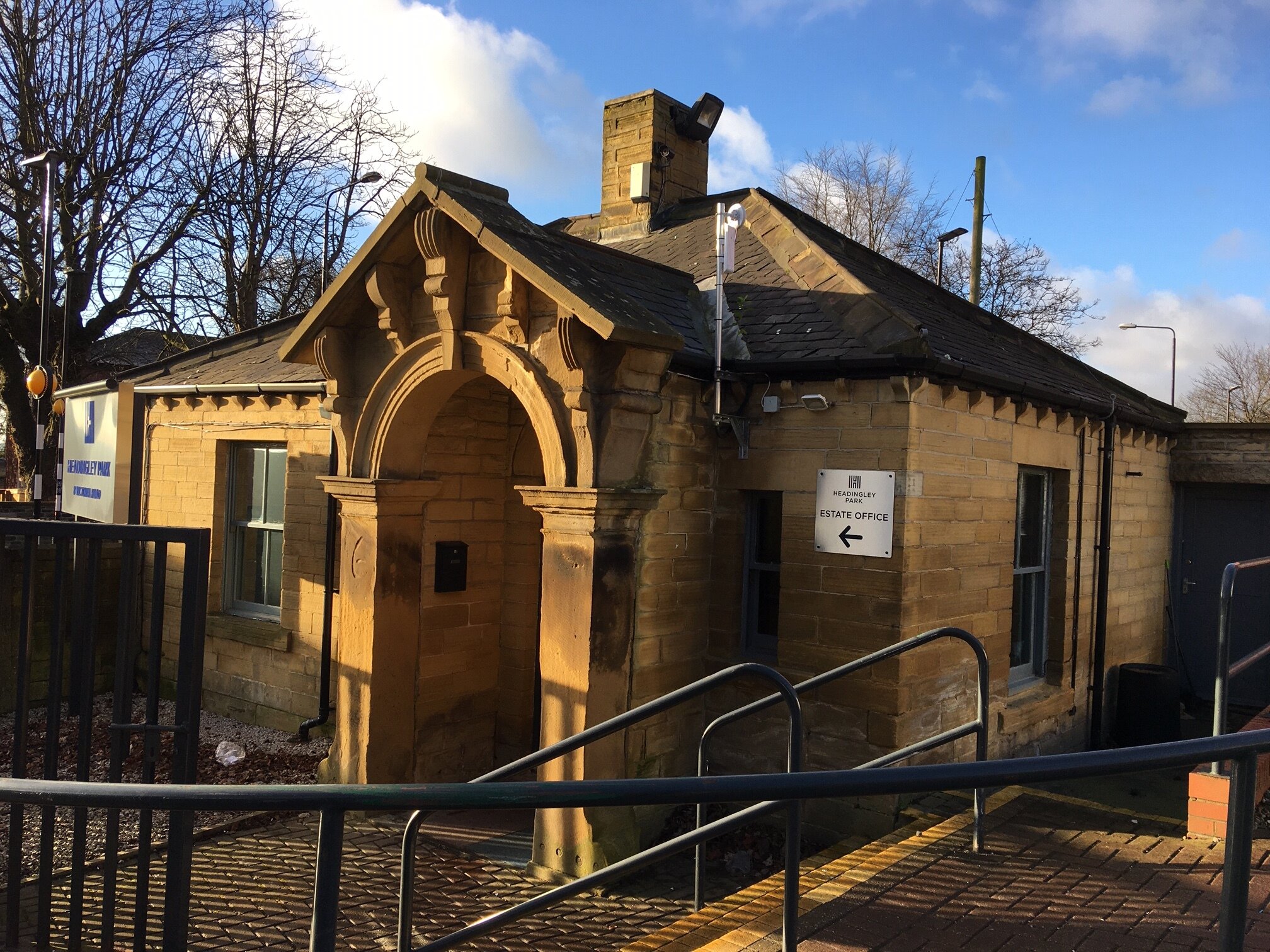
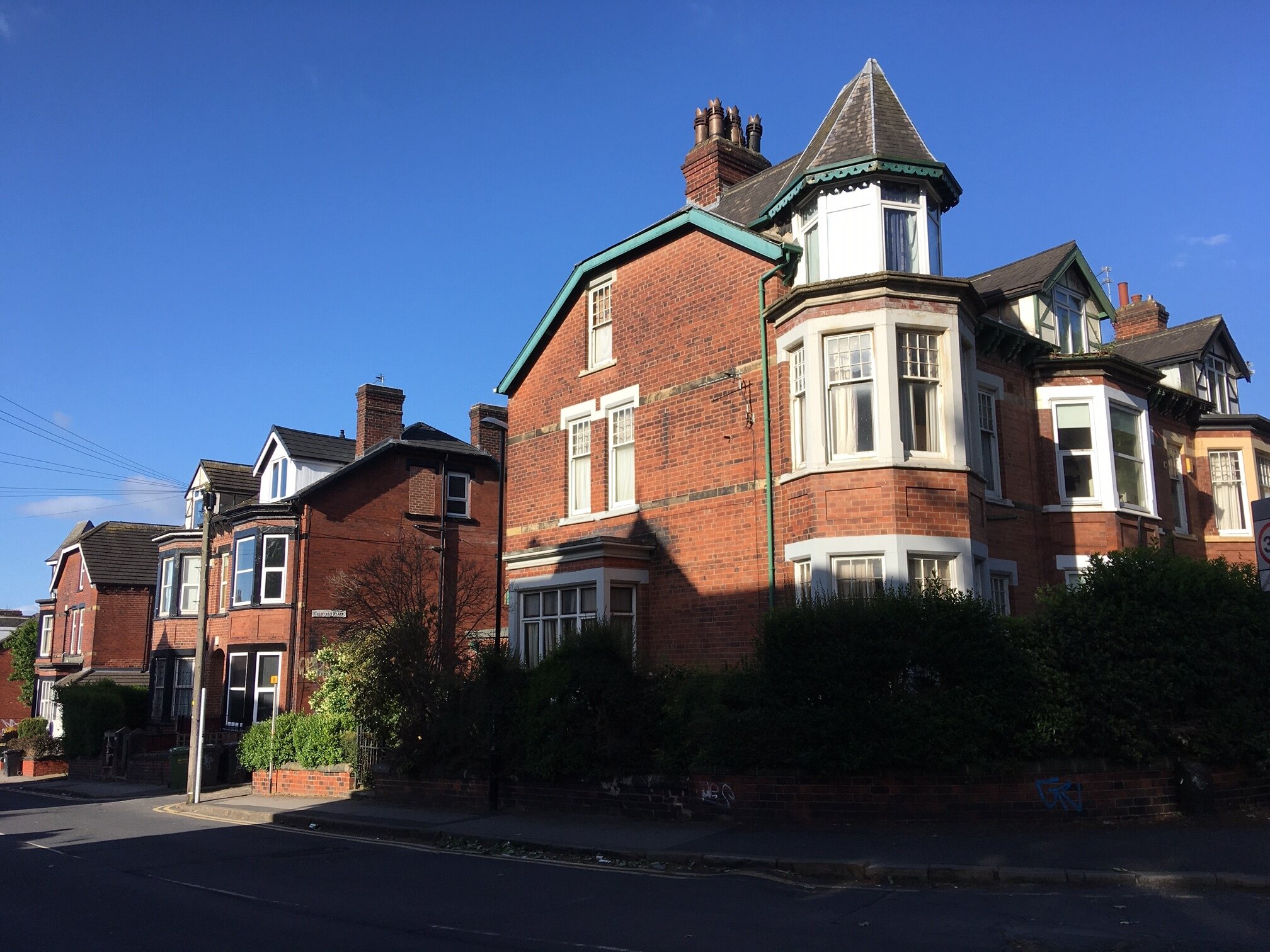
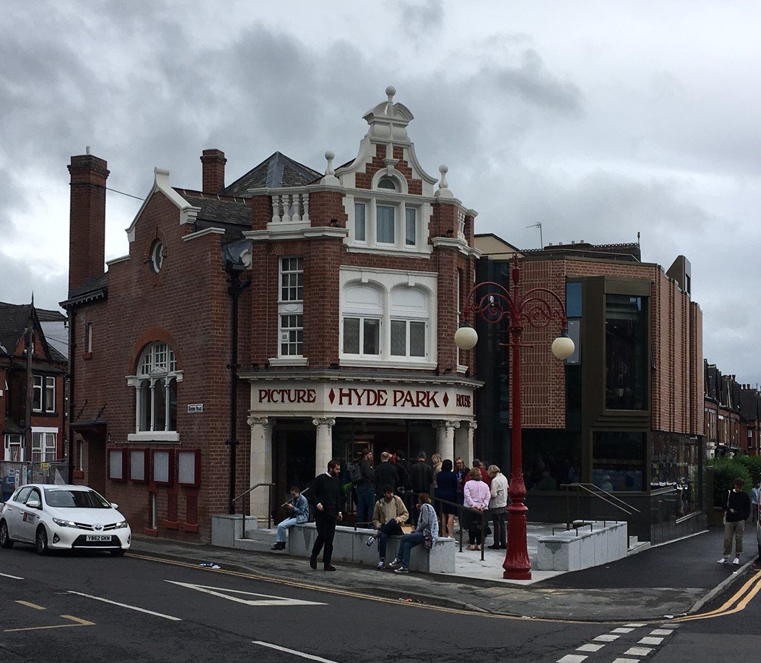
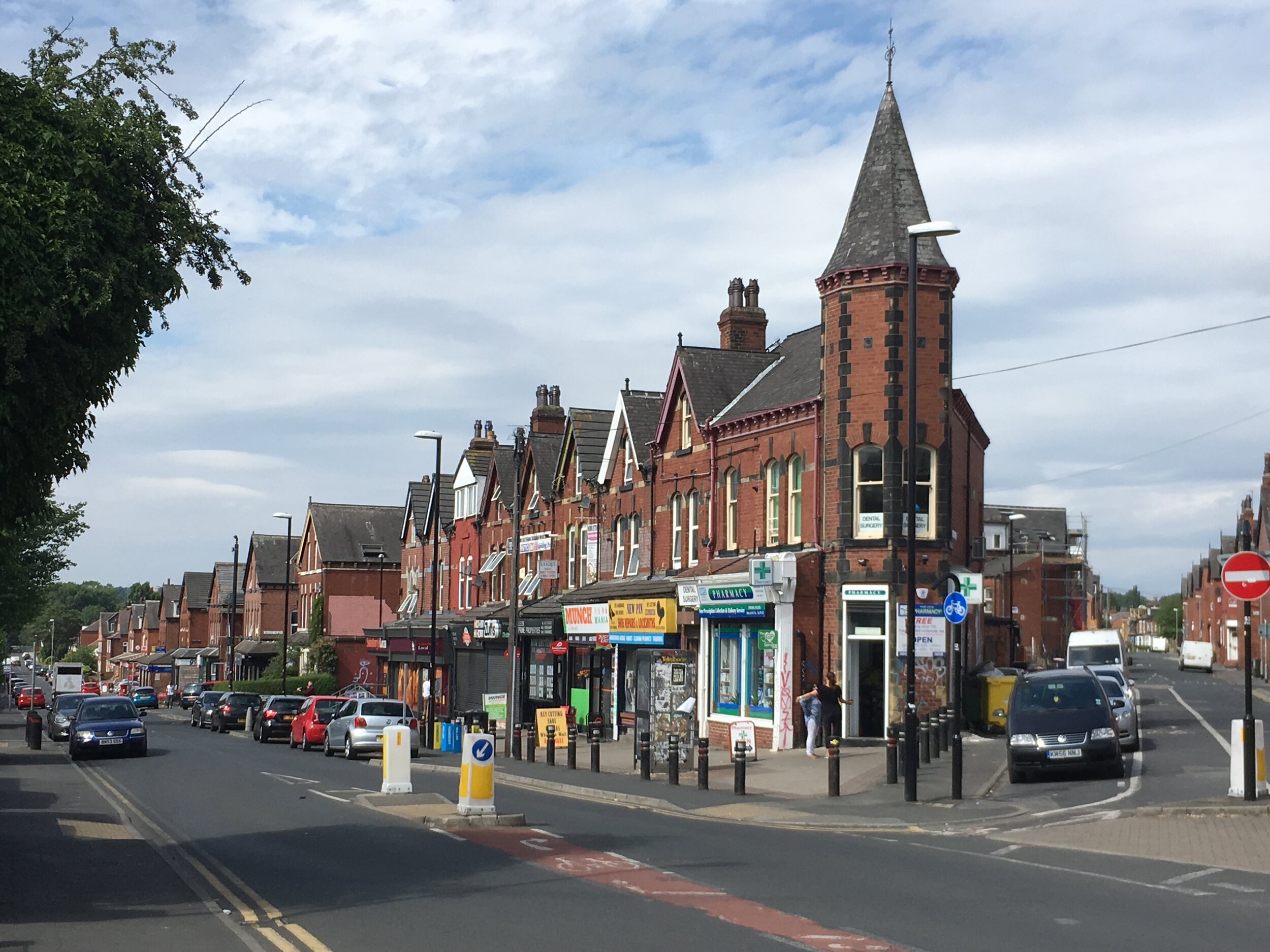
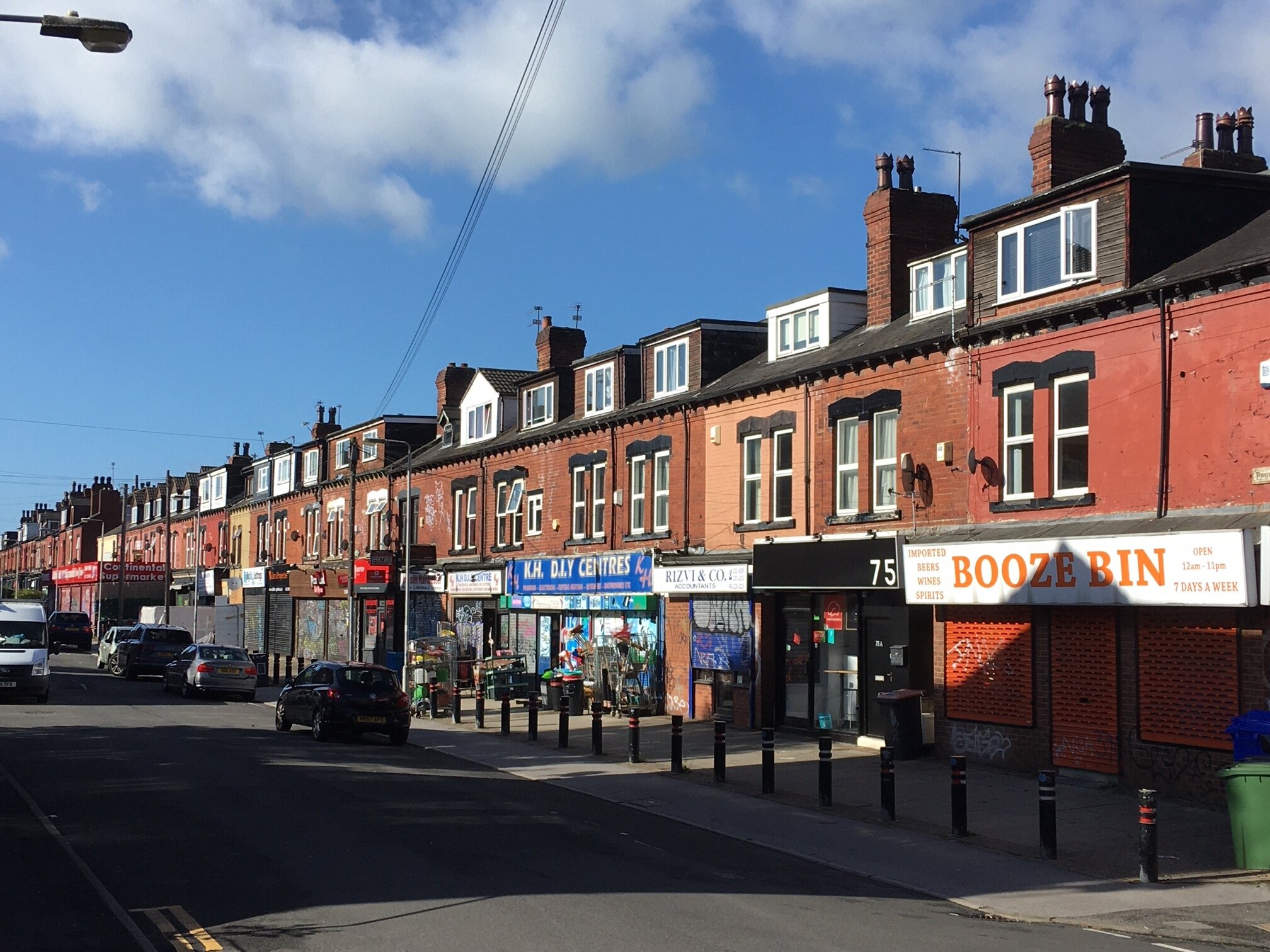
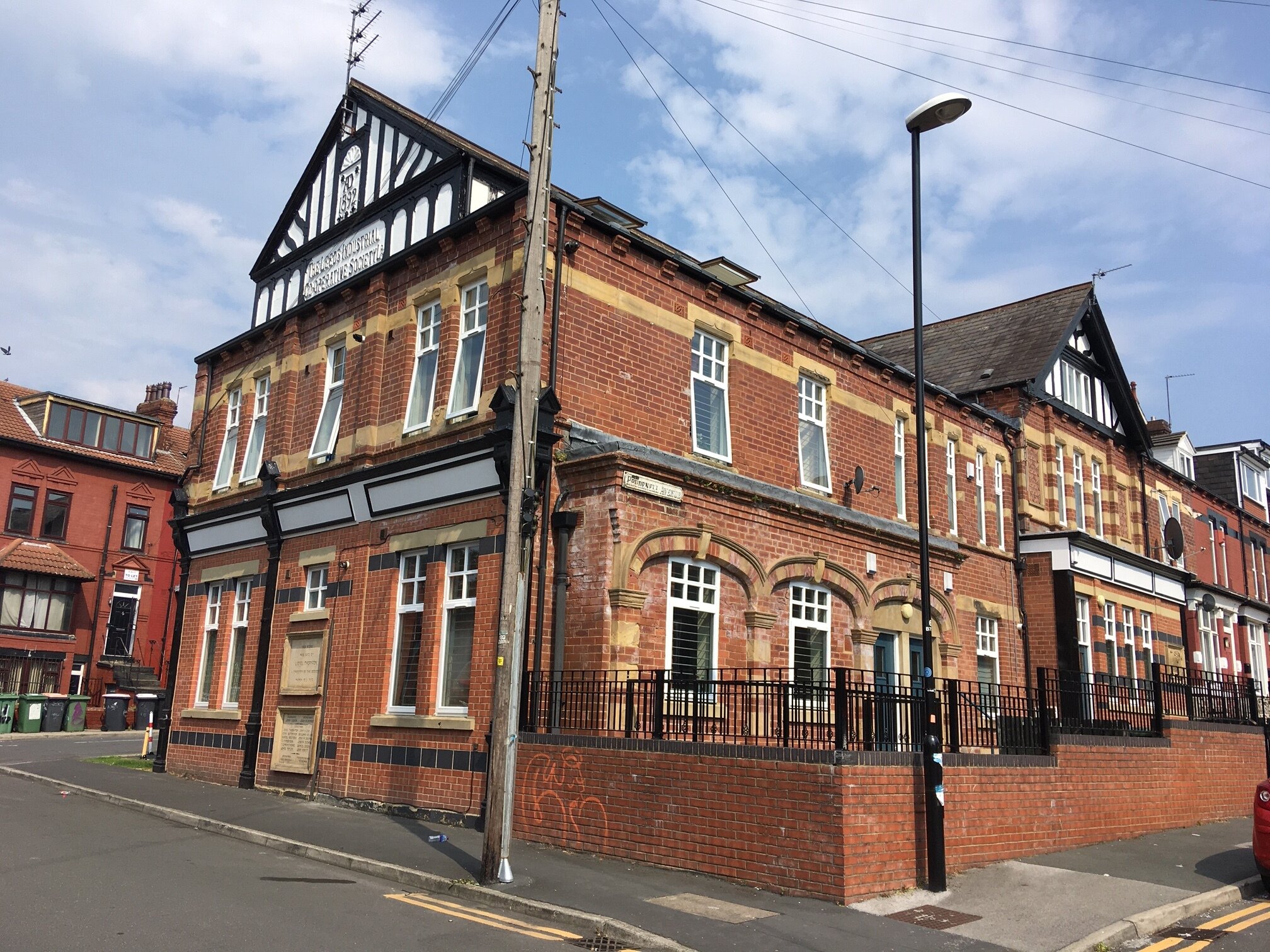
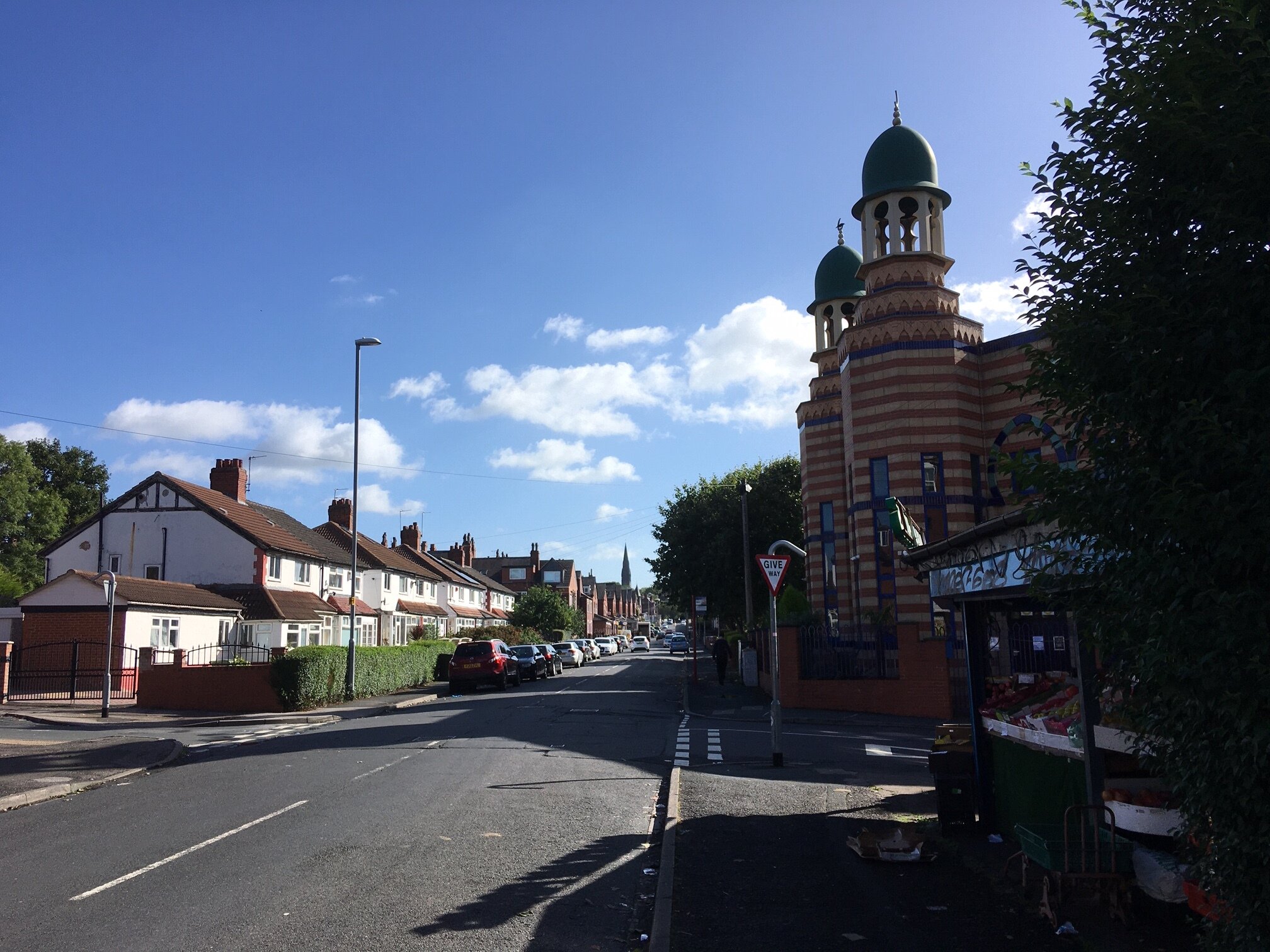
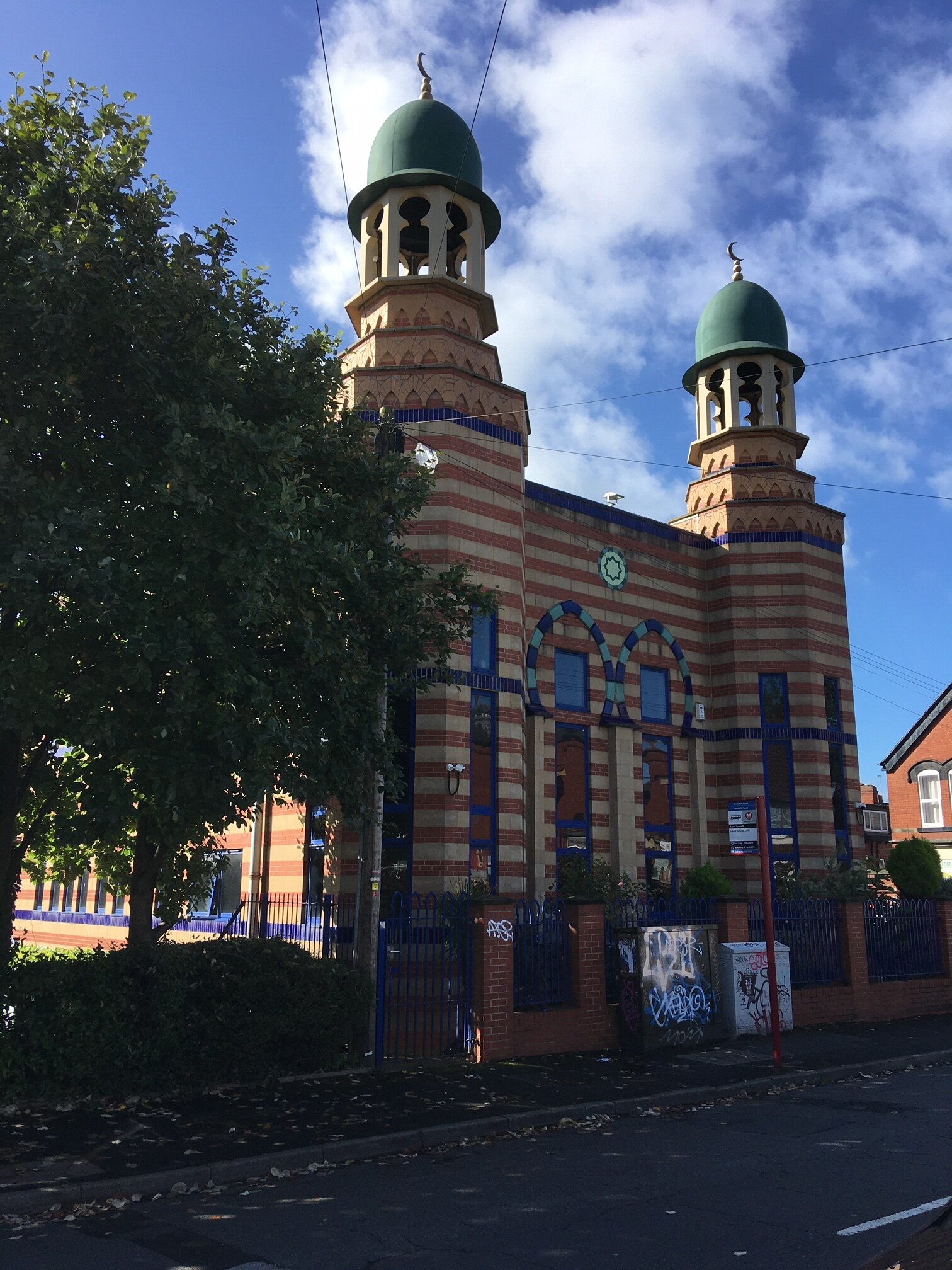
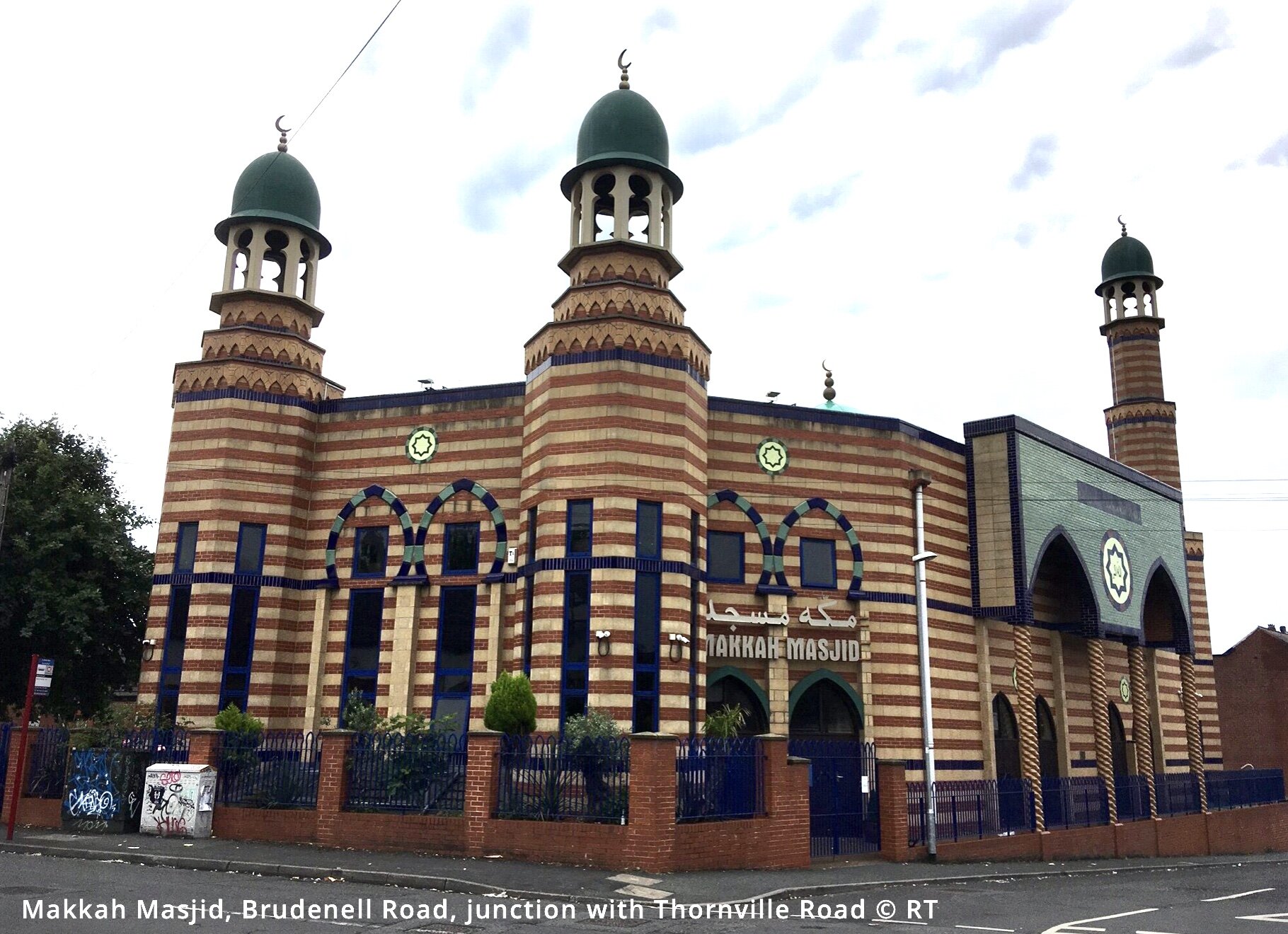
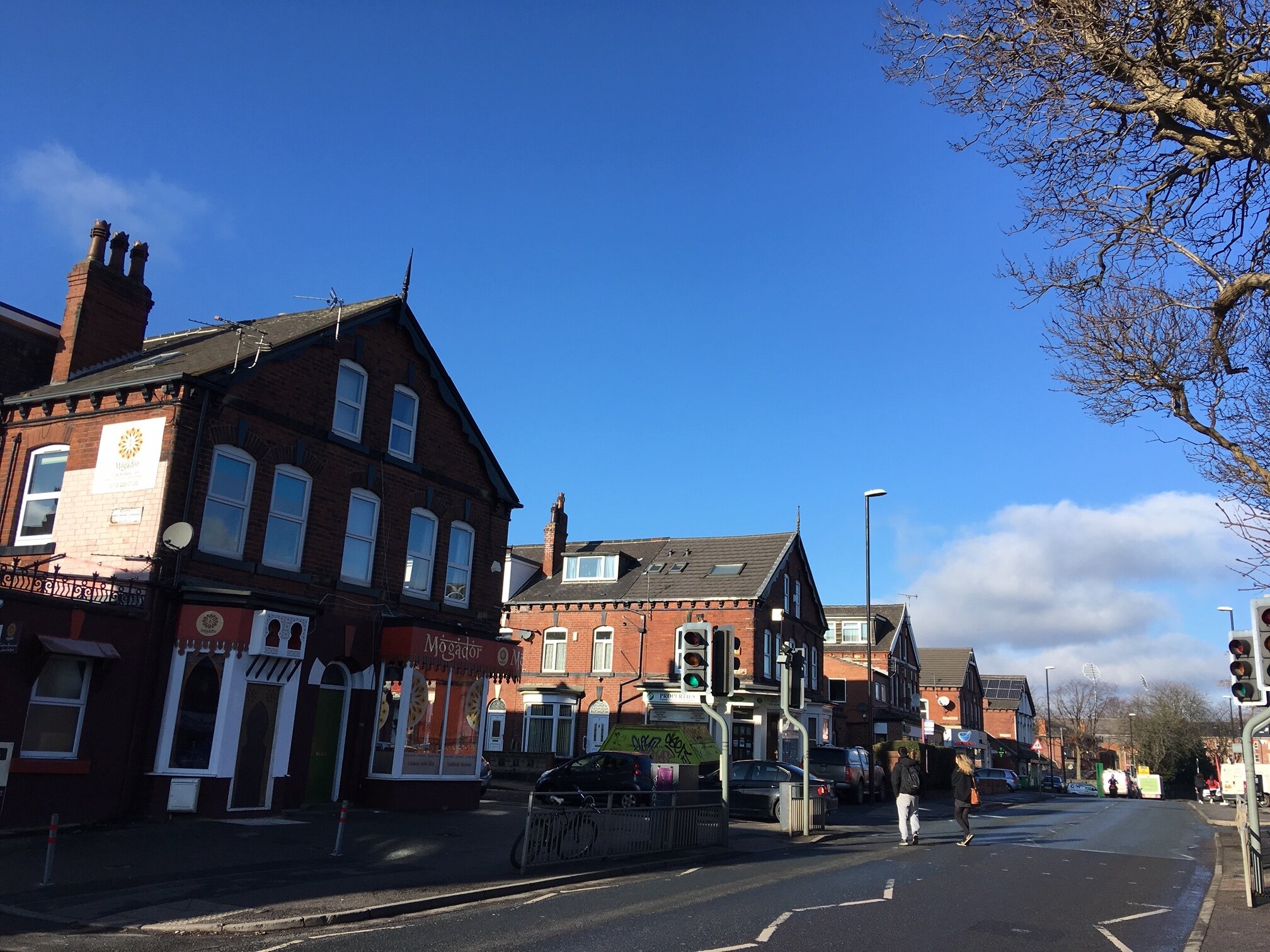
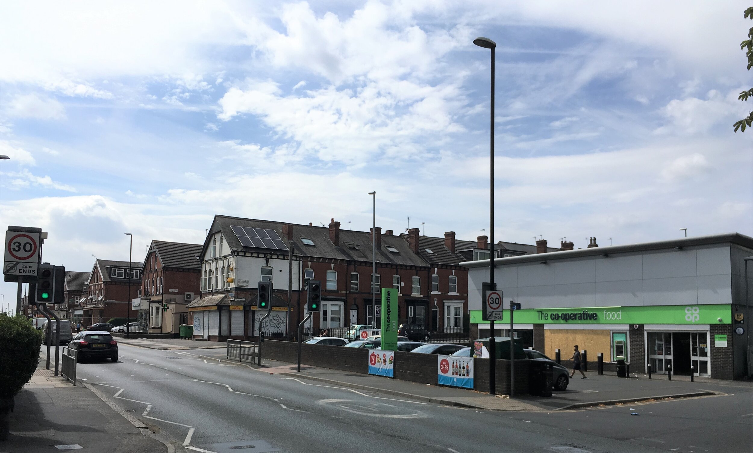
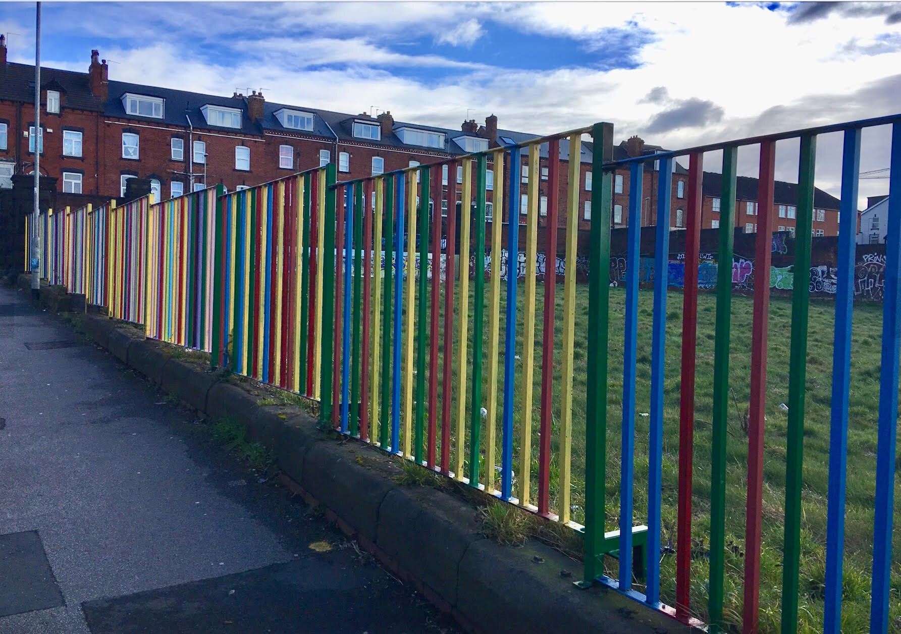
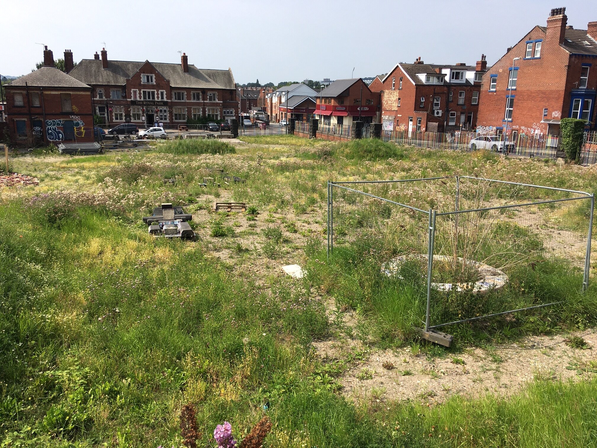
For an outline description of the area, go to South Headingley, also Cardigan Triangle; see also, Listed Buildings in South Headingley and Cardigan Triangle. South Headingley is home to two Schools, as well as two Chemists and a Mosque. It includes the Brudenell Shops and the Cardigan Road Shops - go to the Shopping Centres page - and also a Cinema. It lies beside Woodhouse Moor, and was once home to Headingley Zoo. Both the local Bus (56) and the local Train connect to town.
Photographs by kind permission of Jerry Hardman-Jones (JHJ), Helen Pickering (HP) and Richard Tyler (RT). Photographs are subject to copyright and should not be reproduced without the owner's permission.
For historic photographs of the area, go to Historic South Headingley. For other neighbourhoods, go to Headingley Now.
