
Headingley Moor
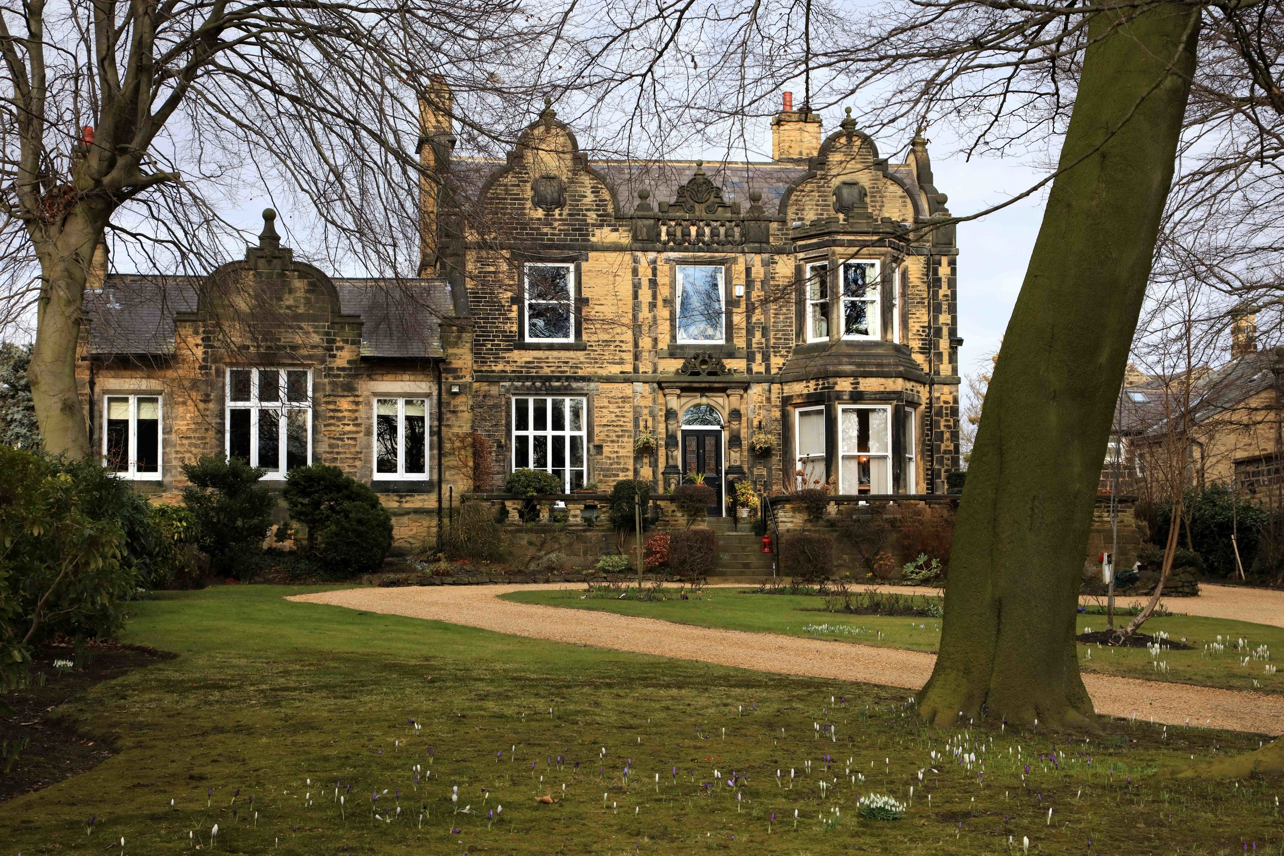
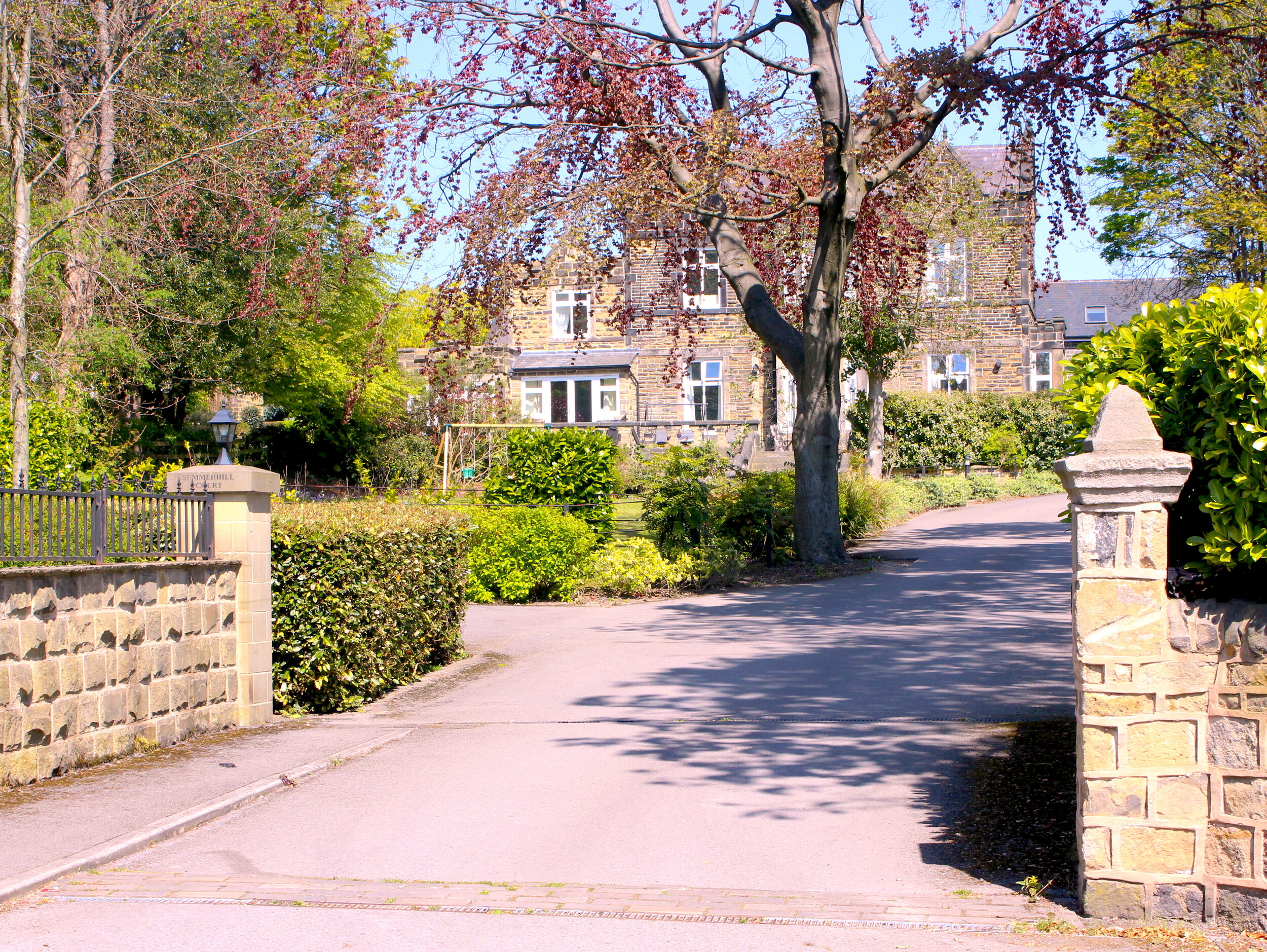
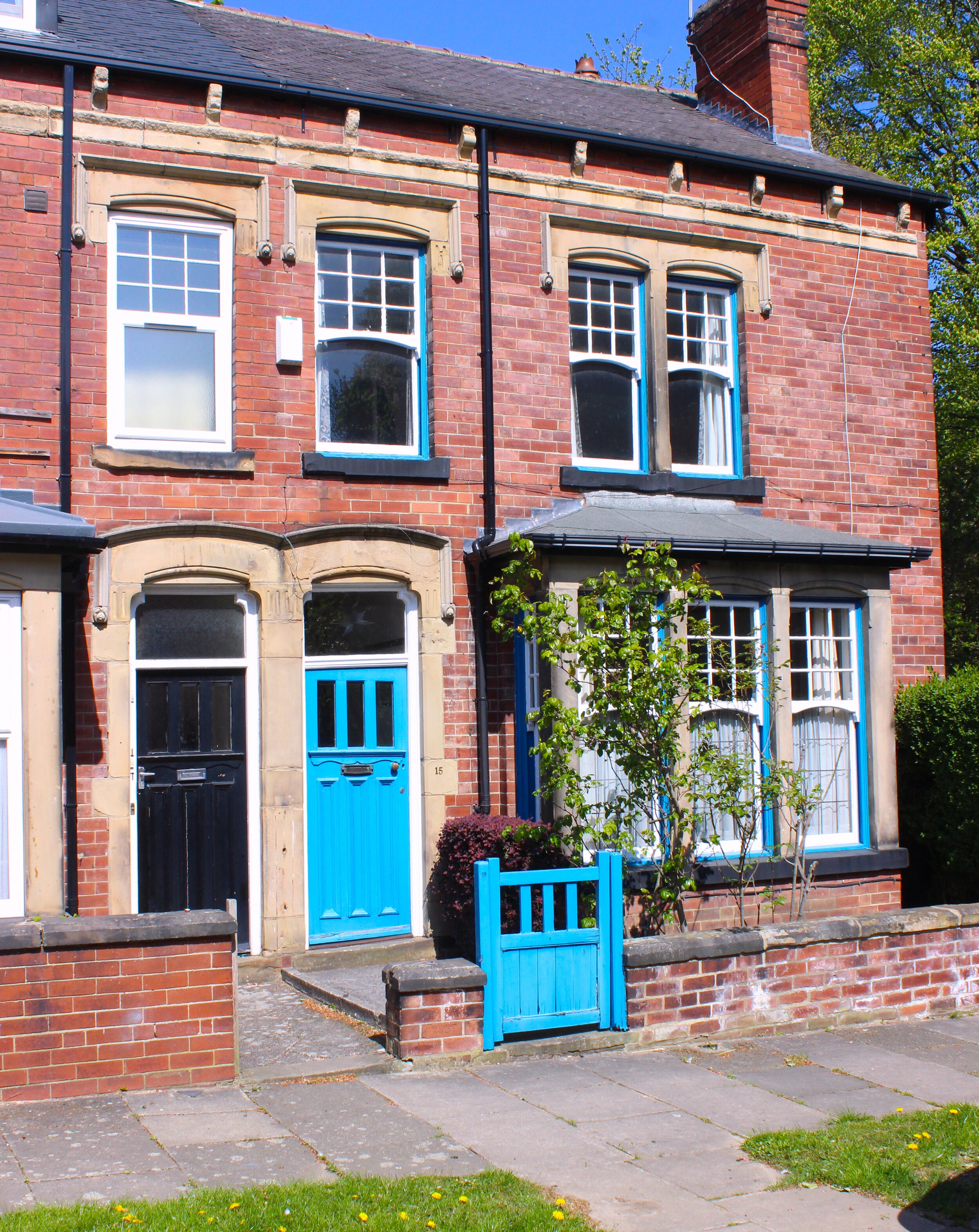
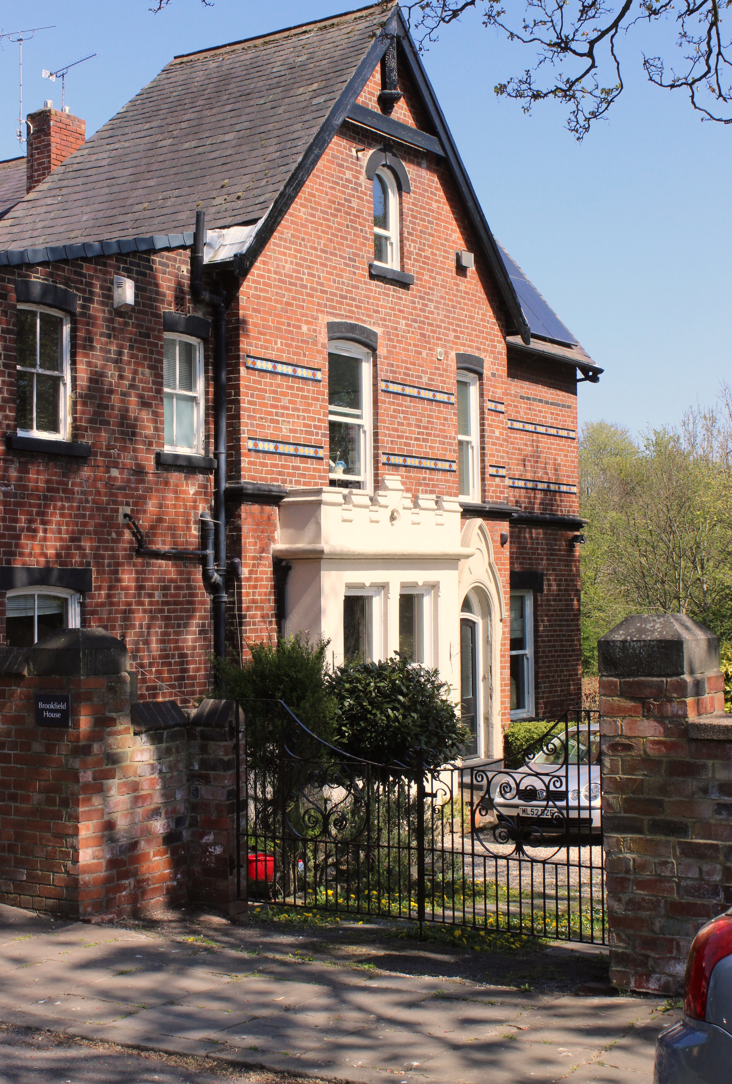
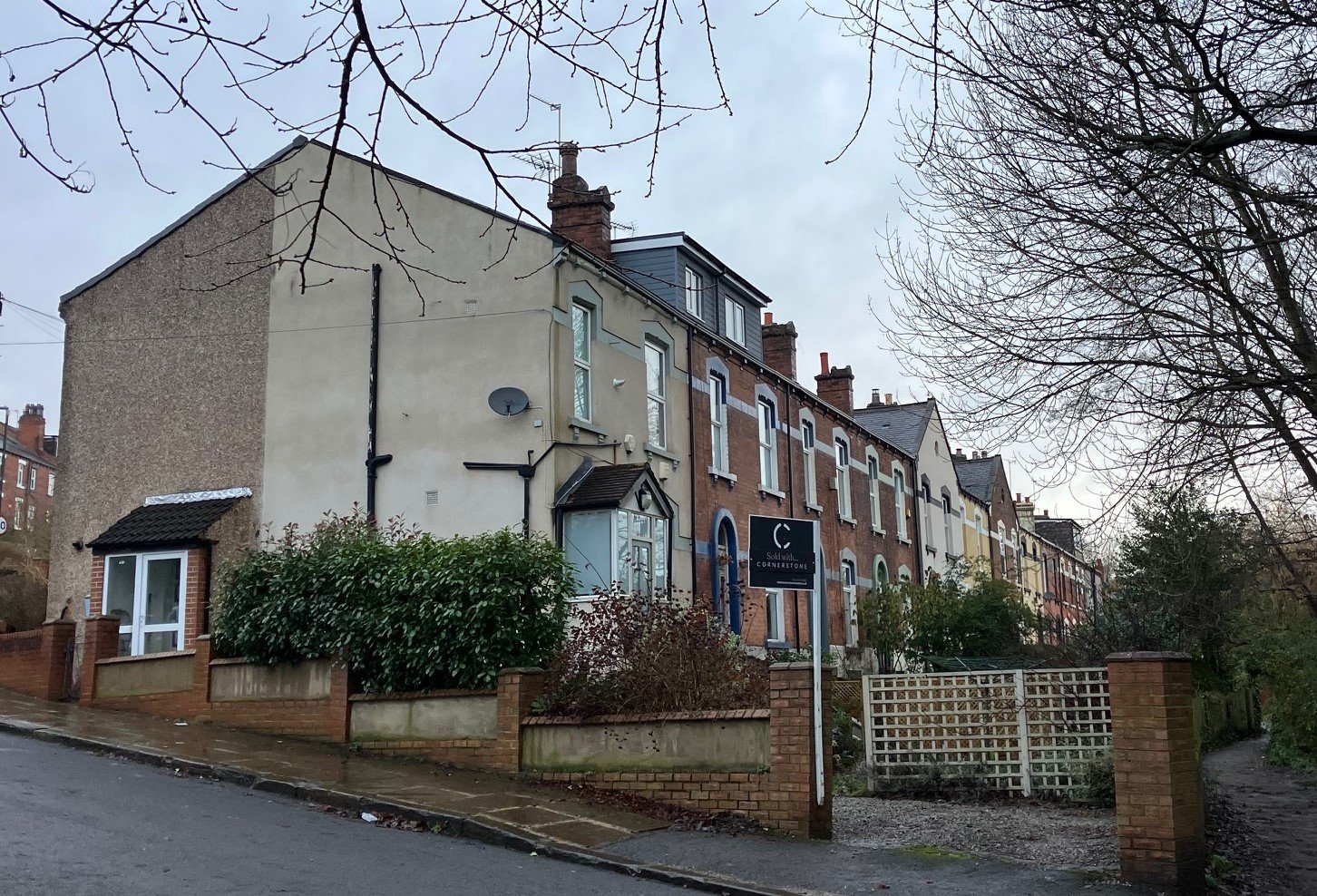
Comprising Moor Road, Claremonts and Highburys
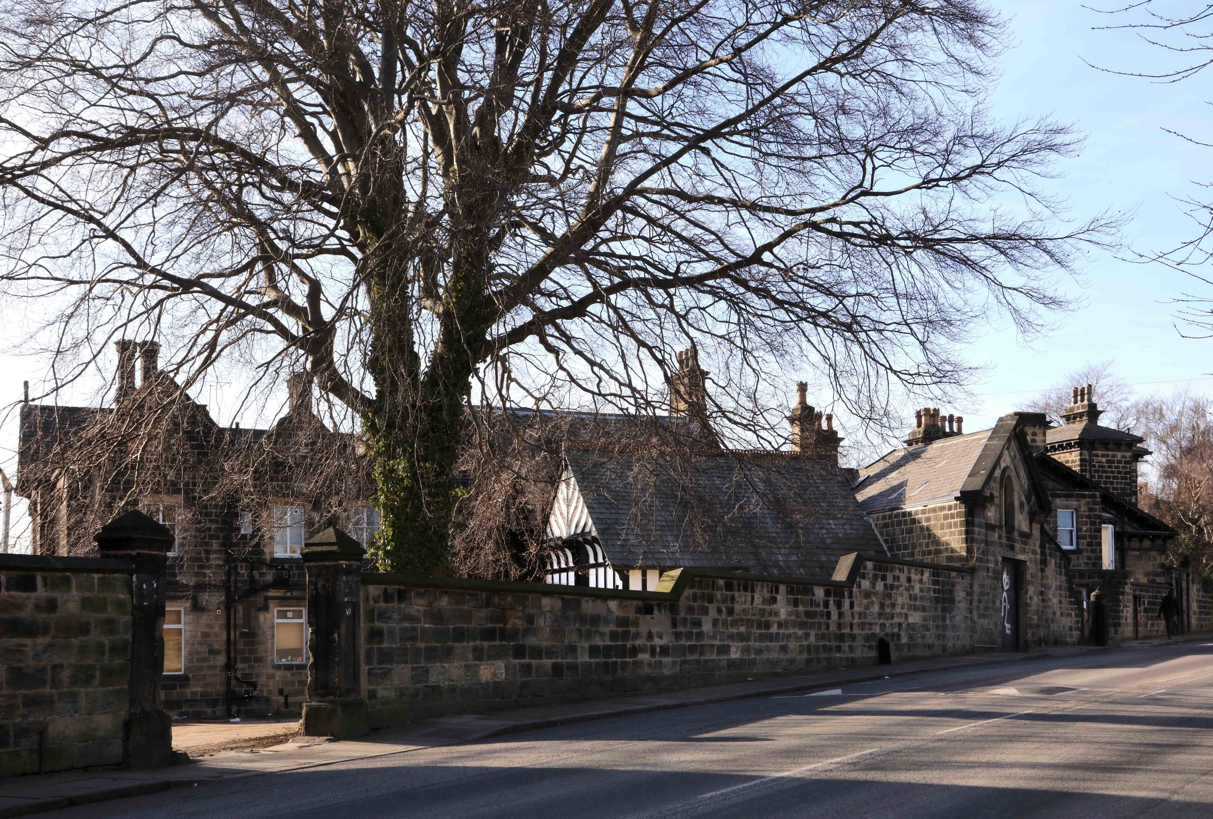
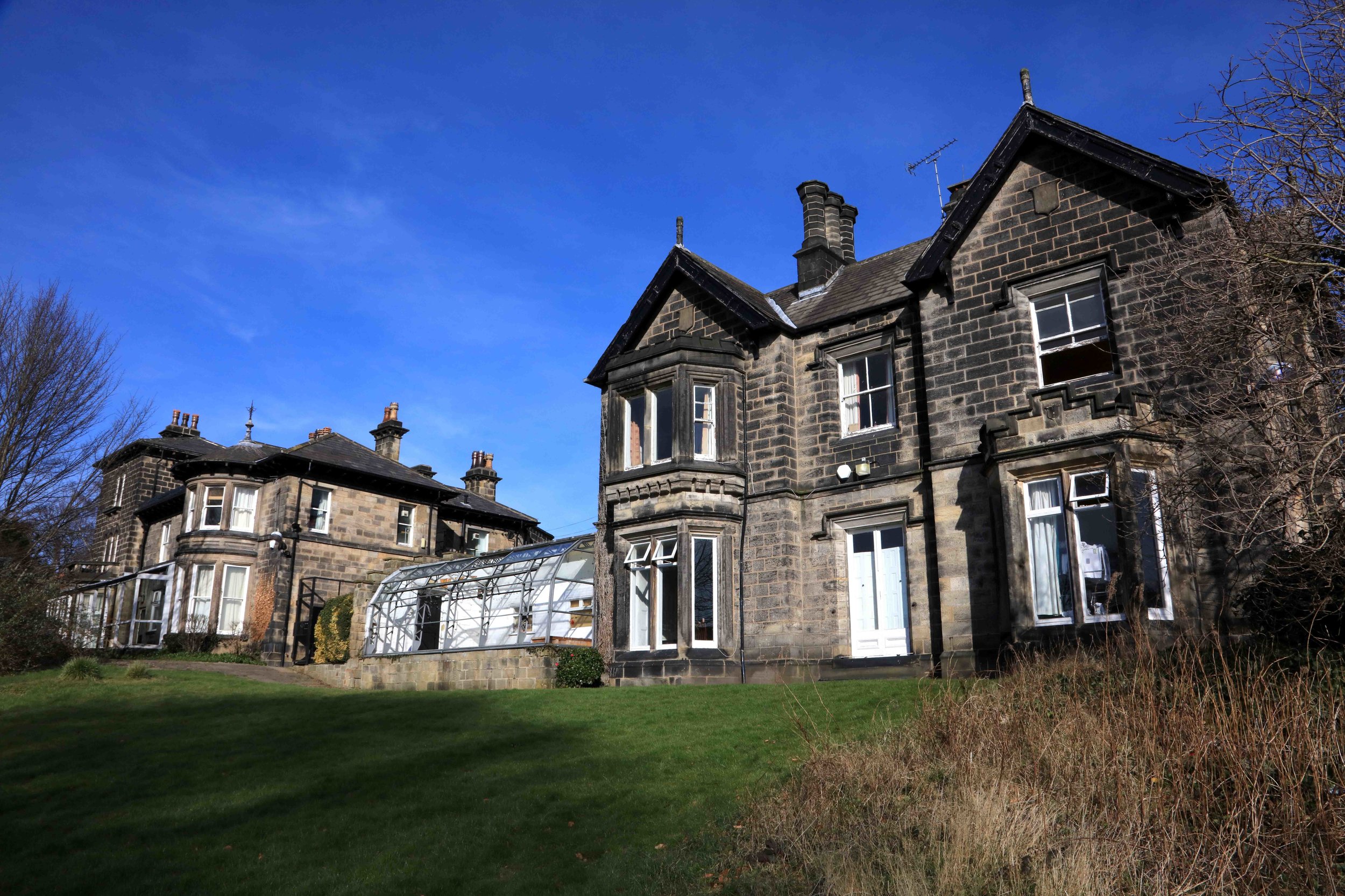
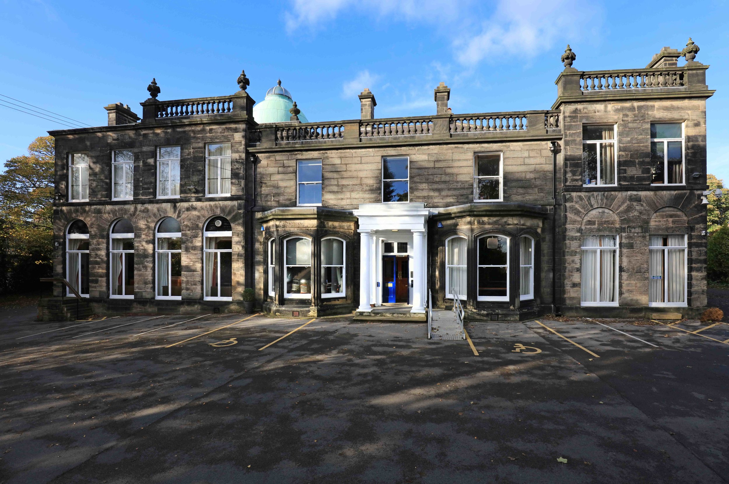
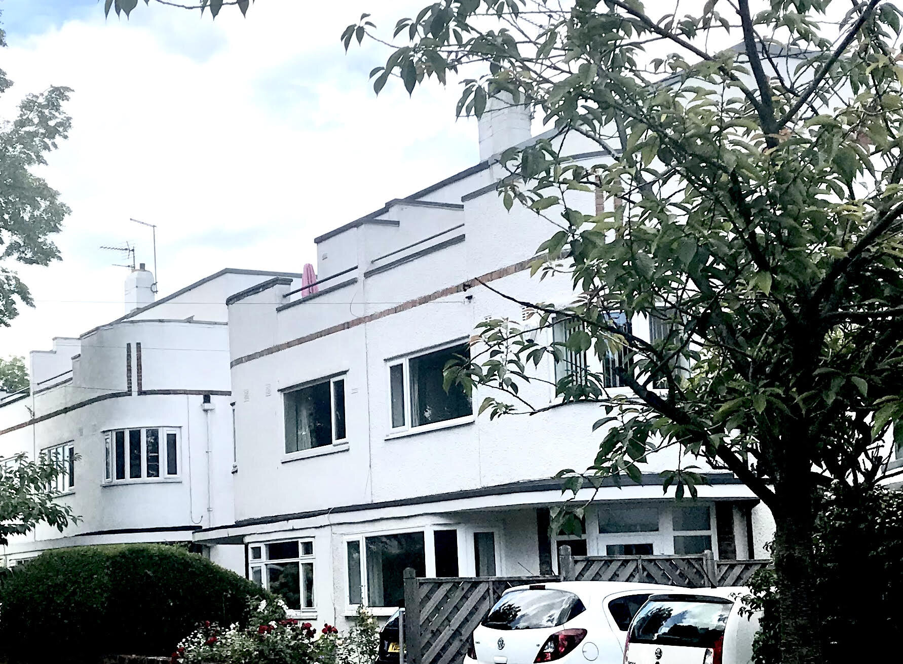
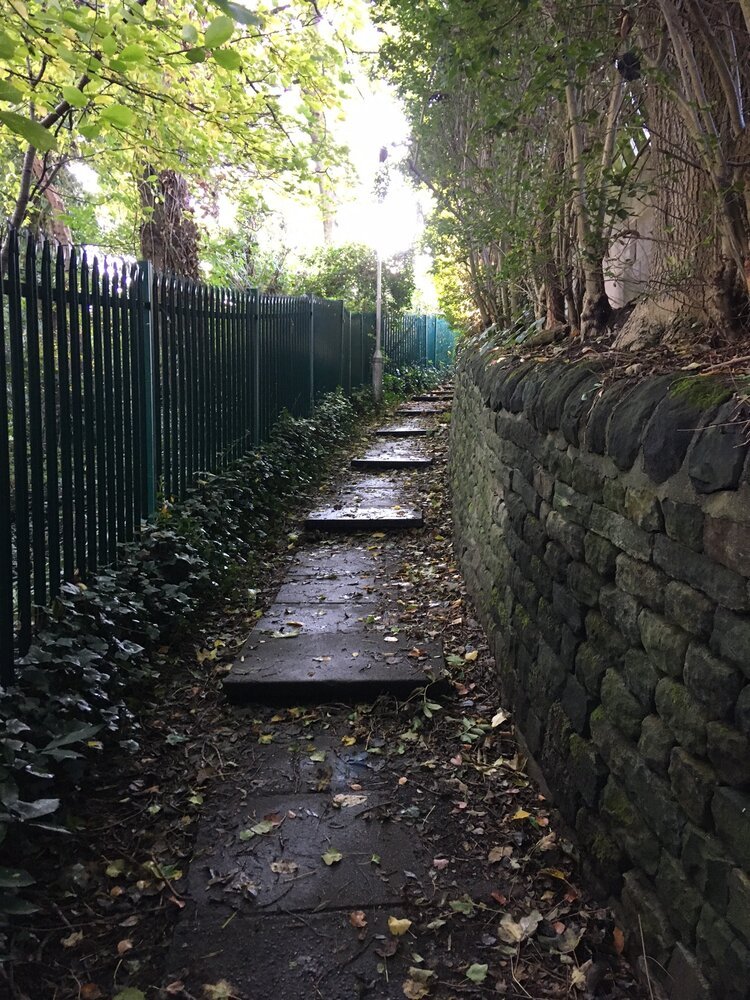
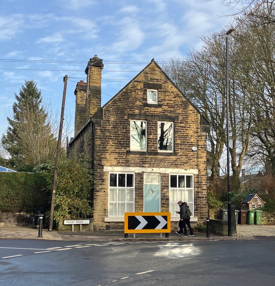
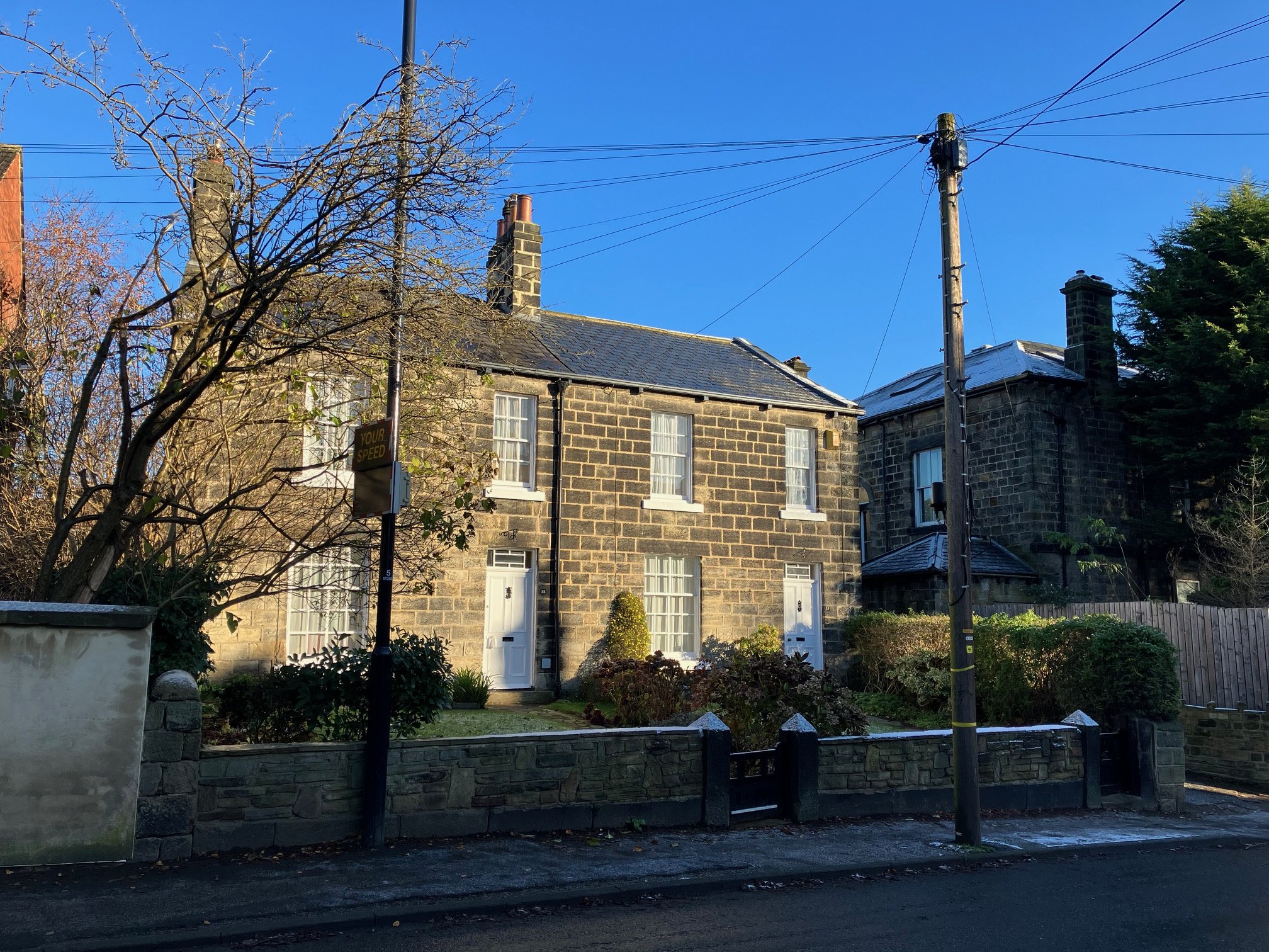
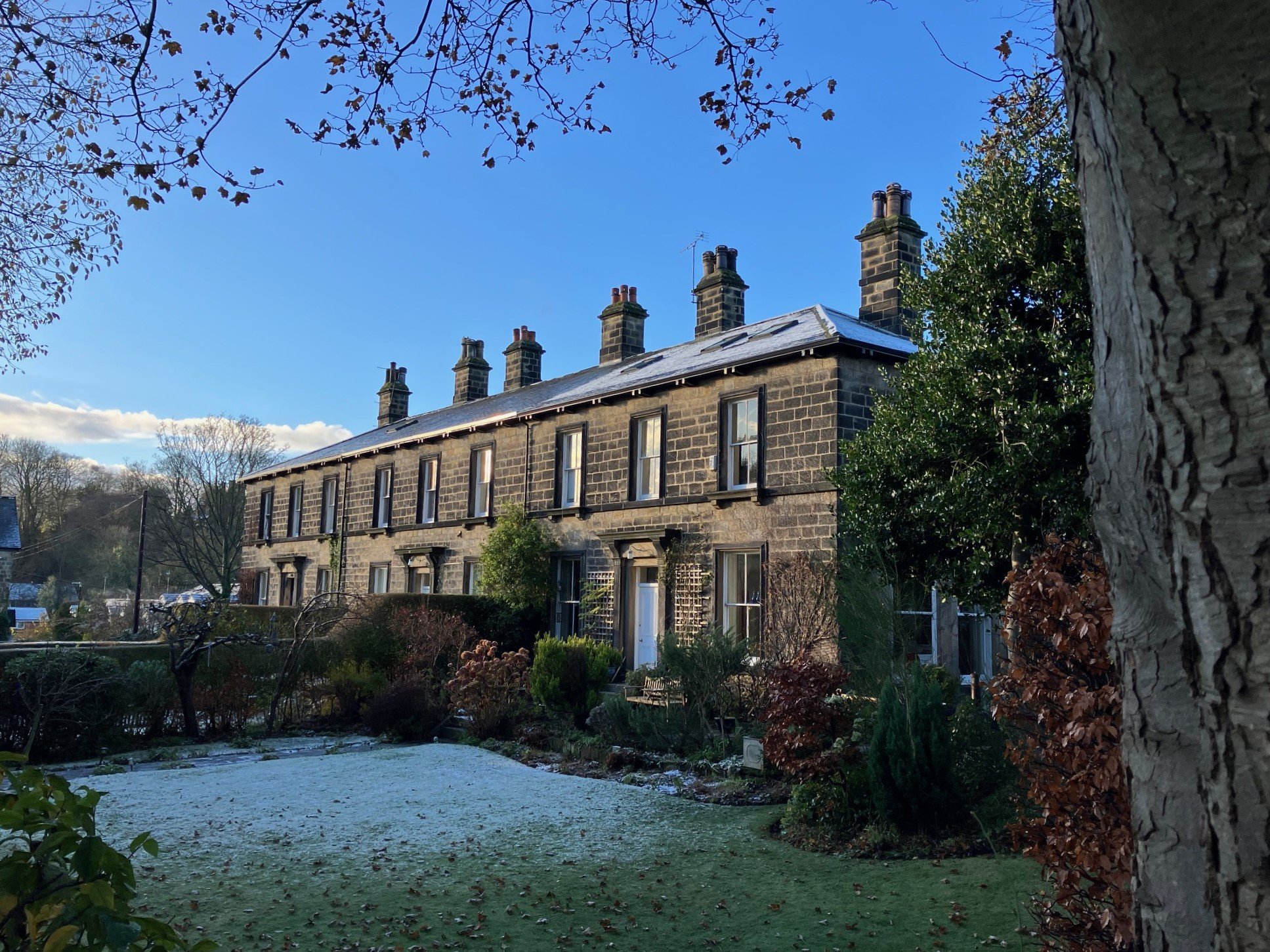
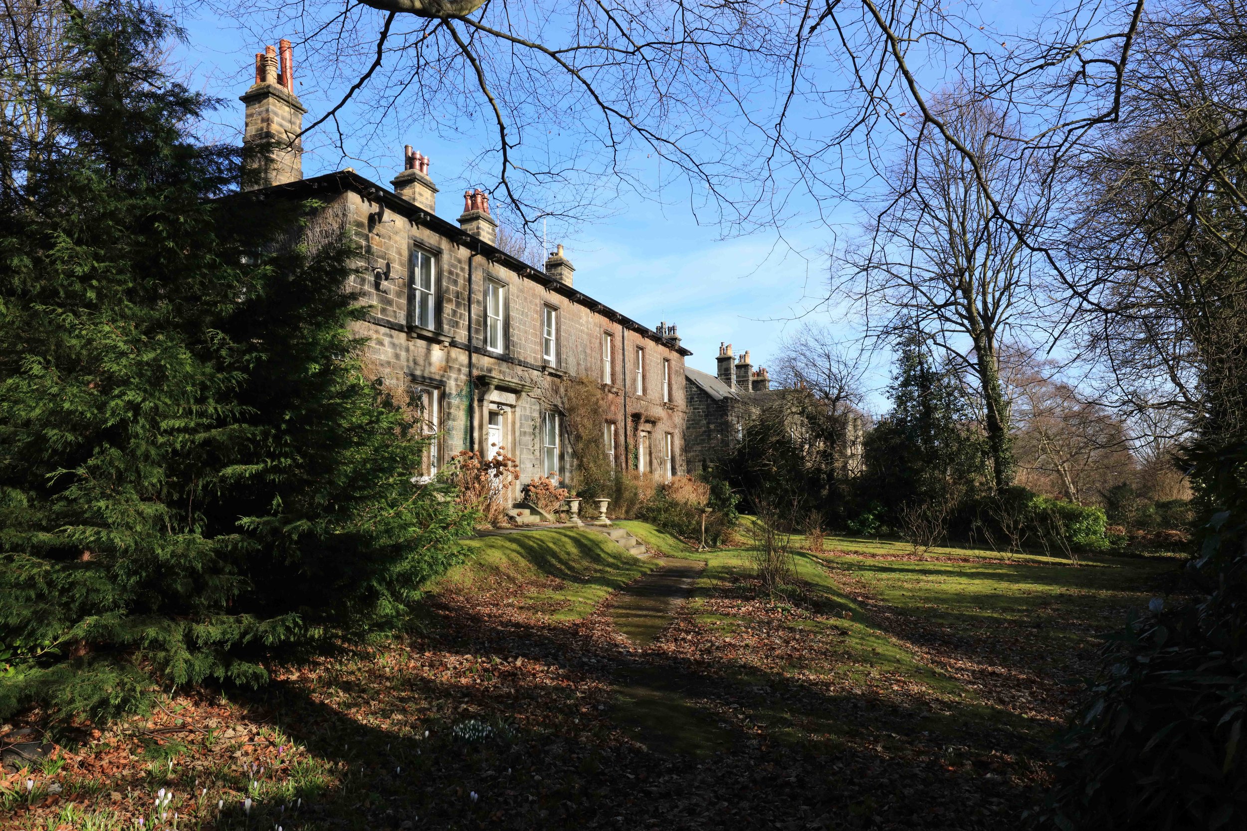

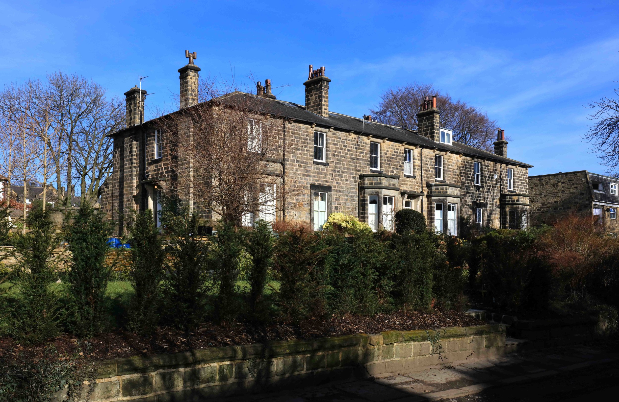
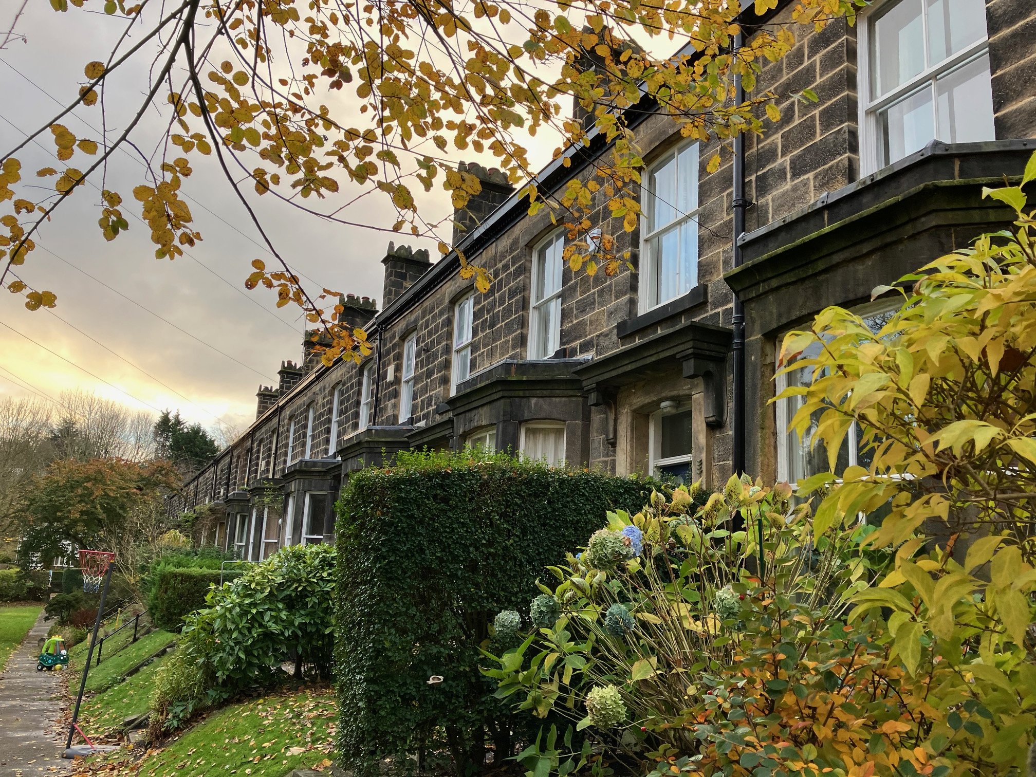

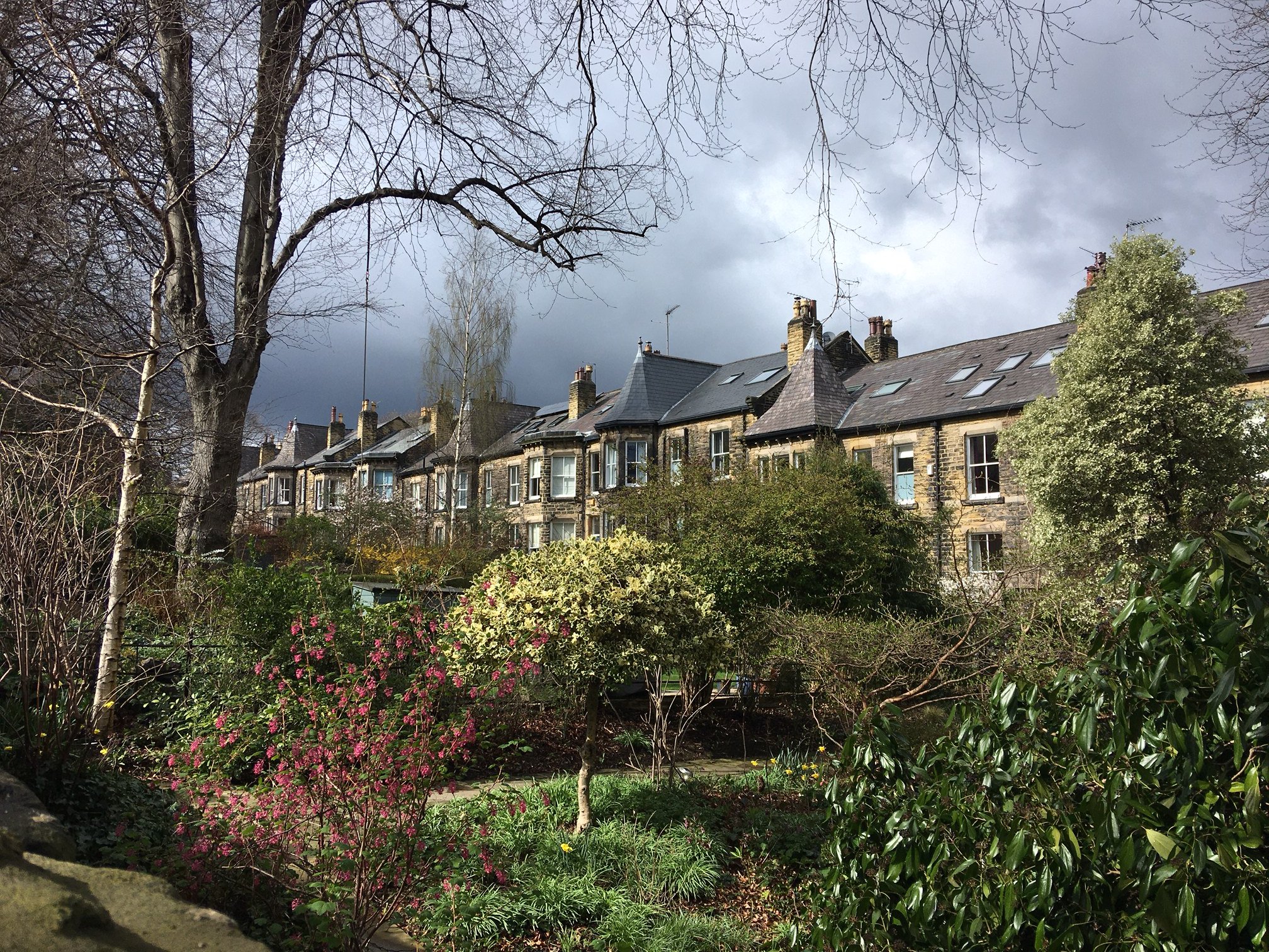
Far Headingley village is centred on the quadrangle on Otley Road made by Cottage Road, Moor Road and Weetwood Lane (gallery here). More broadly, Far Headingley neighbourhood extends east and west from the village, until the land falls away beyond Beckett Park to the River Aire on the one hand (including Headingley Campus), and on the other, formerly Headingley Moor, which drops down to Meanwood Beck, subject of the present gallery. See the downloadable map on the Home page.
For an outline description of the area, go to Far Headingley Village, and also, its Listed Buildings. See also Claremonts, Highburys and Moor Park to the east, and Beckett’s Park and Church Woods & Drummonds to the west, and the Listed Buildings of each.
Far Headingley is close to Schools in Wood Lane and Weetwood, it has two Dentists, and St Chad’s Church. Far Headingley Local Centre is a Shopping Centre, and also includes three Historic Pubs and a Cinema.
Far Headingley lies between two Parks, Beckett and Meanwood, and A Walk around Far Headingley explores the area. Further afield, regular Buses connect to town and to the Dales, and there’s a local Hotel for visitors.
Photographs by kind permission of Jerry Hardman-Jones (JHJ), Mike Sells (MS), Helen Pickering (HP) and Richard Tyler (RT).
Photographs are subject to copyright and should not be reproduced without the owner's permission.
For old photos of the area, go to Historic Far Headingley.
For photos of other neighbourhoods, go to Headingley Now.
Those interested in Far Headingley may like to join Far Headingley Village Society, or Beckett’s Park Residents Association or Drummond and Church Wood Residents Association.
