
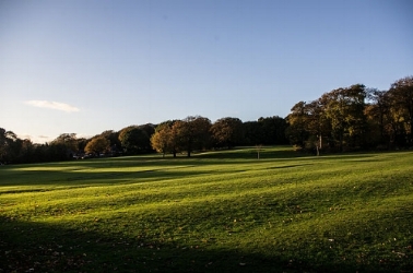
parks
Beckett Park
Batcliffe Drive/St Chad's Drive

West Park Fields
Northolme Avenue & Crescent

The Hollies
Weetwood Lane
Woodhouse Moor
Woodhouse Lane

Meanwood Park
Hollin Drive/Green Road

Woodhouse Ridge, Wood Lane
Sparrow Park
Cardigan Road/Chapel Lane/Spring Road
https://en-gb.facebook.com/SparrowParkLtd/
Royal Park
Royal Park Road/Queen’s Road
see article below
Dagmar Wood
Grosvenor Road
https://dagmarwood.com/
Leeds City Council
Parks and Countryside Service
0113 378 6002
https://www.leeds.gov.uk/parks-and-countryside
Love Leeds Parks
a charitable initiative dedicated to enhancing the public parks and green spaces of Leeds
https://loveleedsparks.org.uk/
University of Leeds
Leeds Parks Survey 2018
Access Report 2026
The downloadable map on the Home page shows the local parks.
Headingley Development Trust
Headingley Bound
A Circuit of the Parks of Headingley
See also, Parks in the Past.
Related articles


