
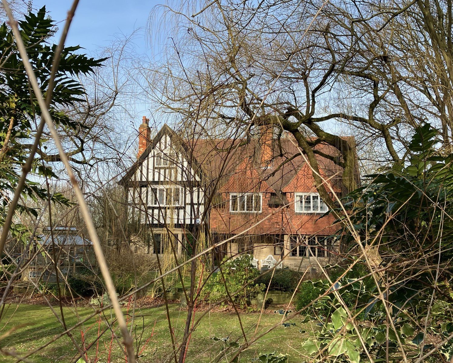
Wood Lane Area
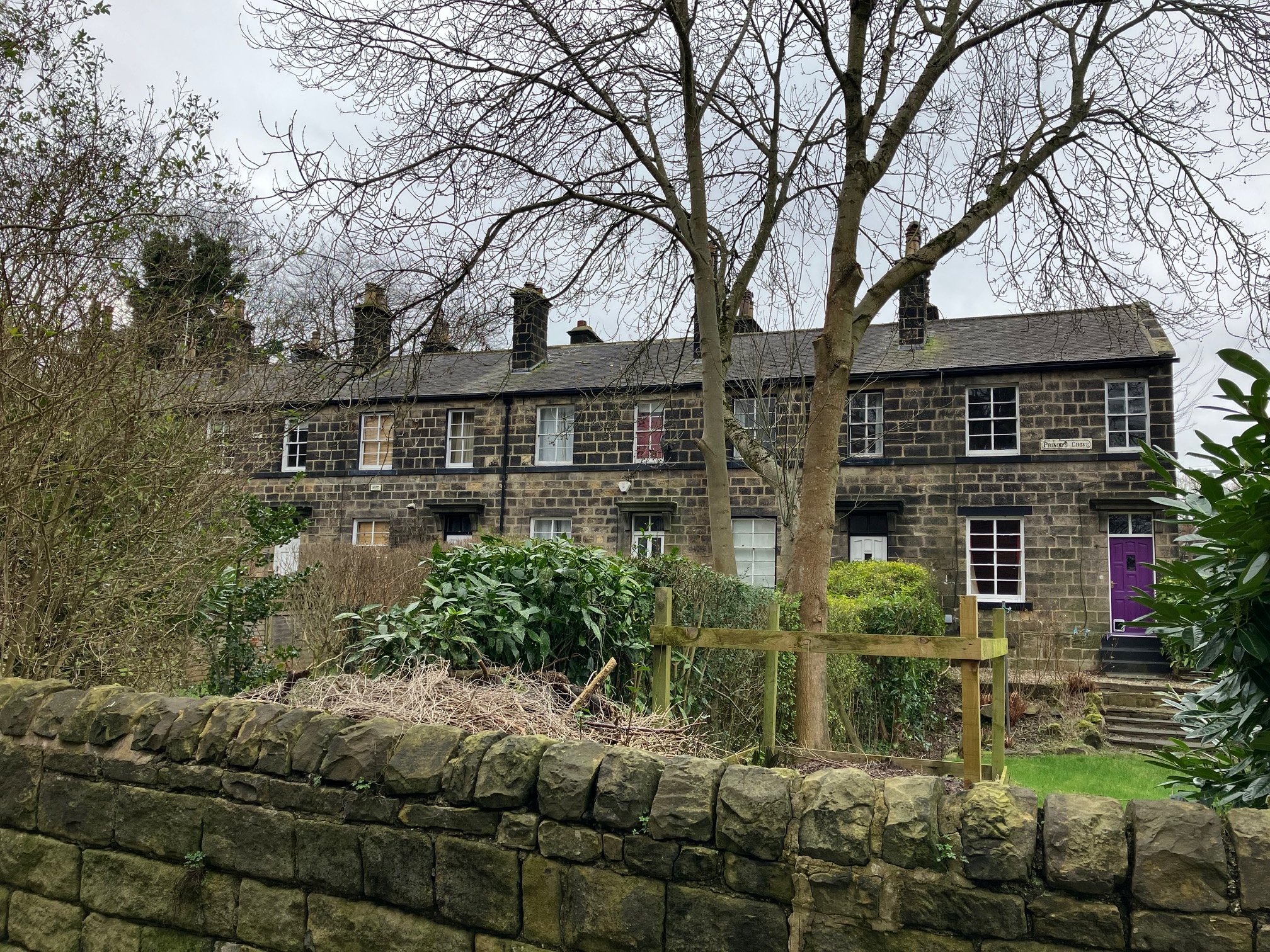
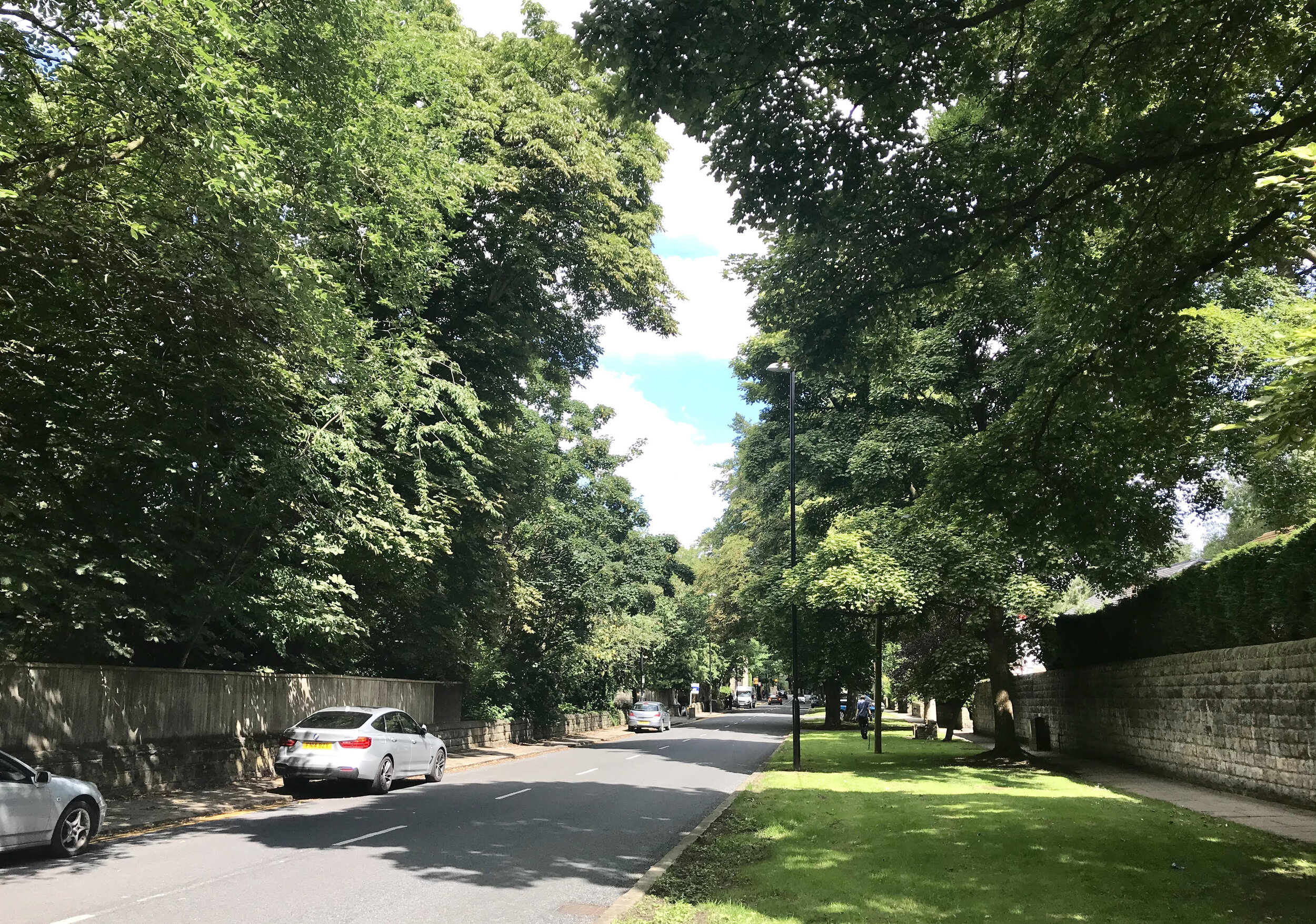
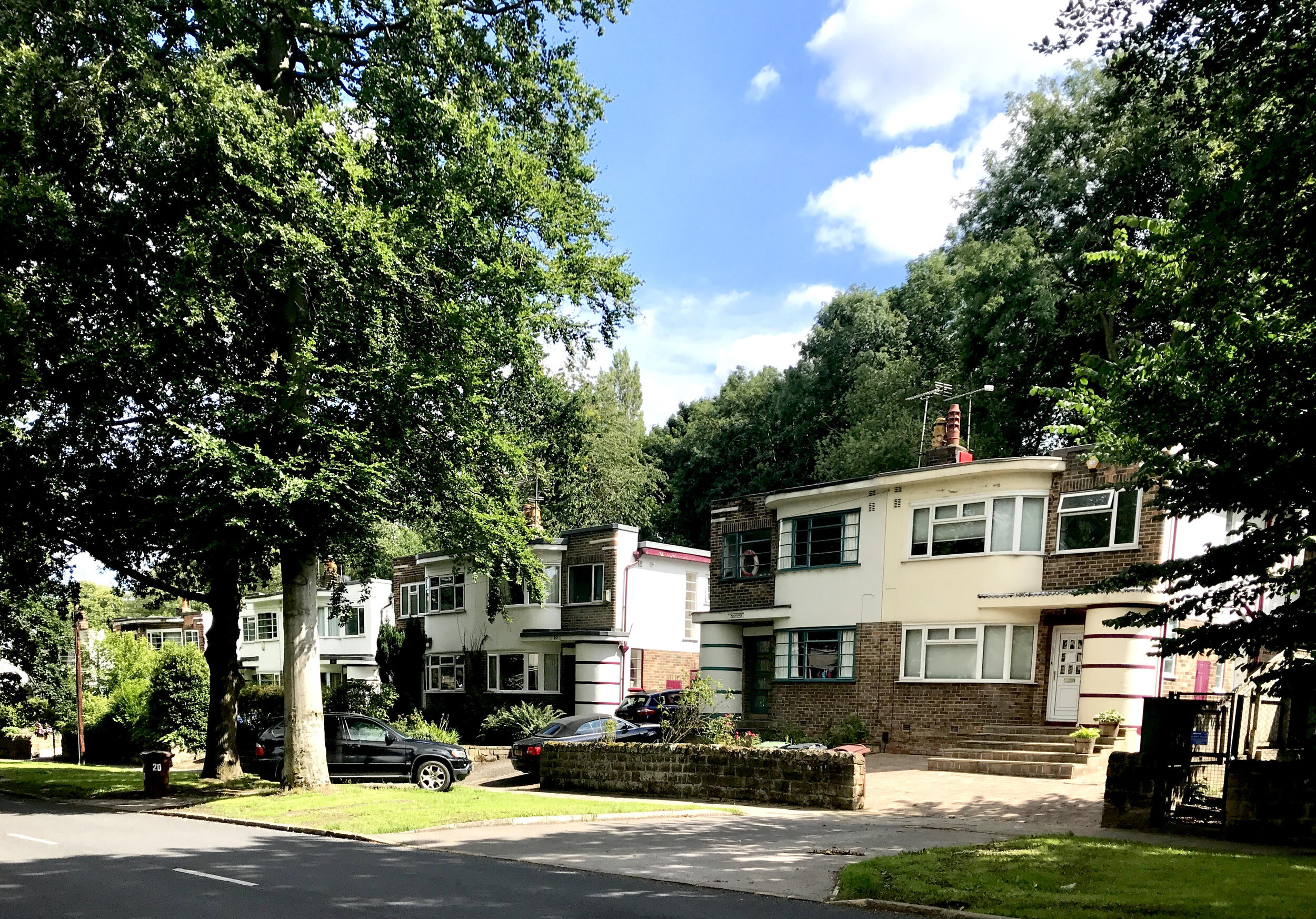
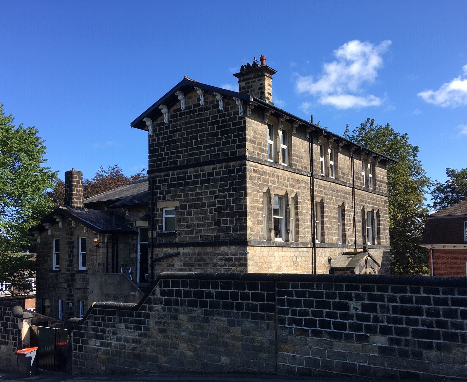
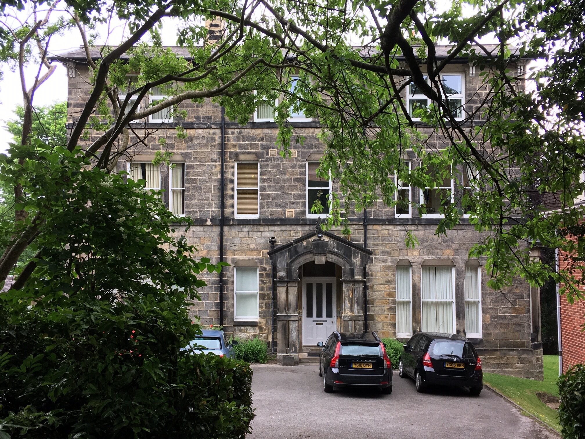
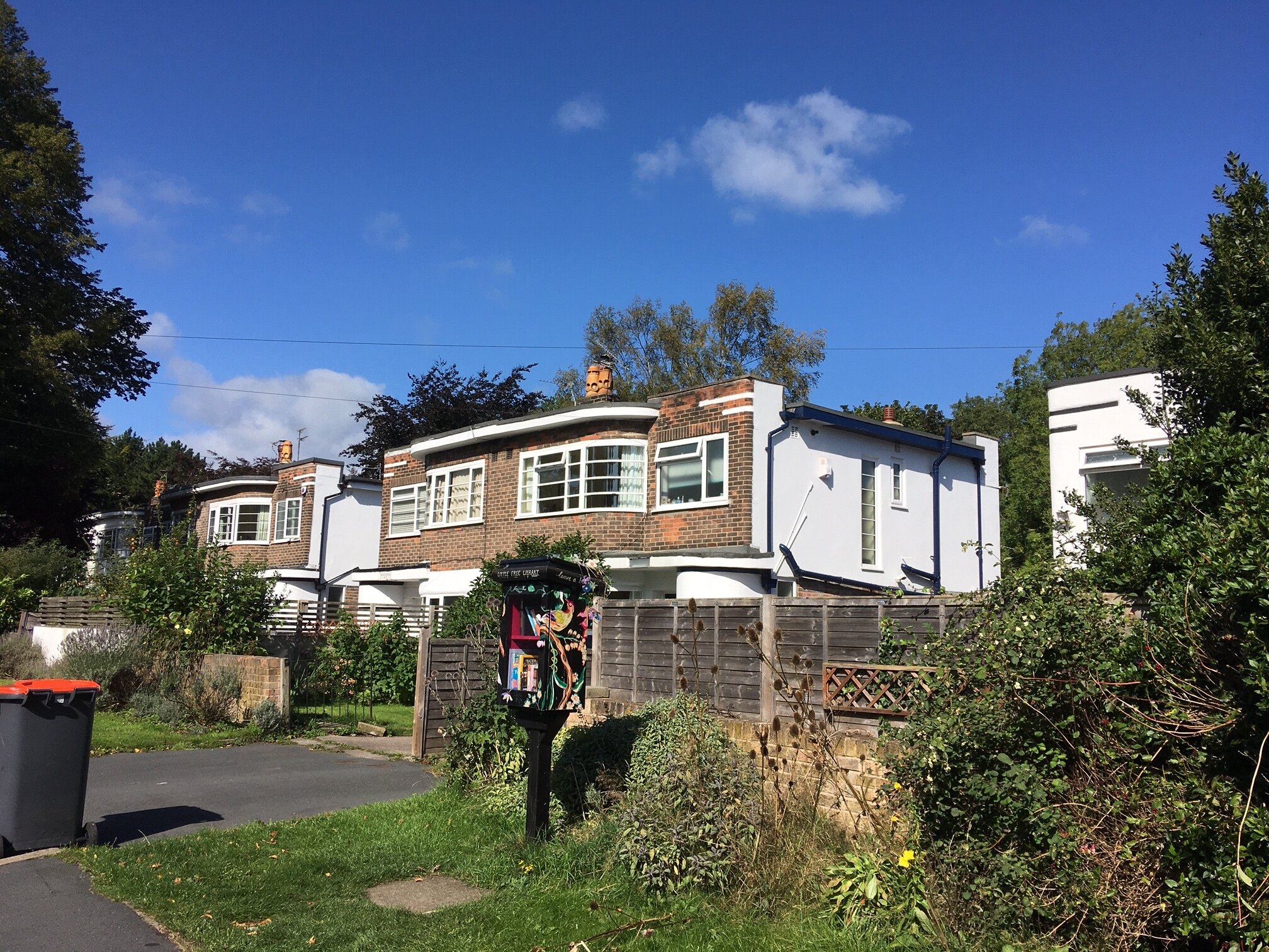
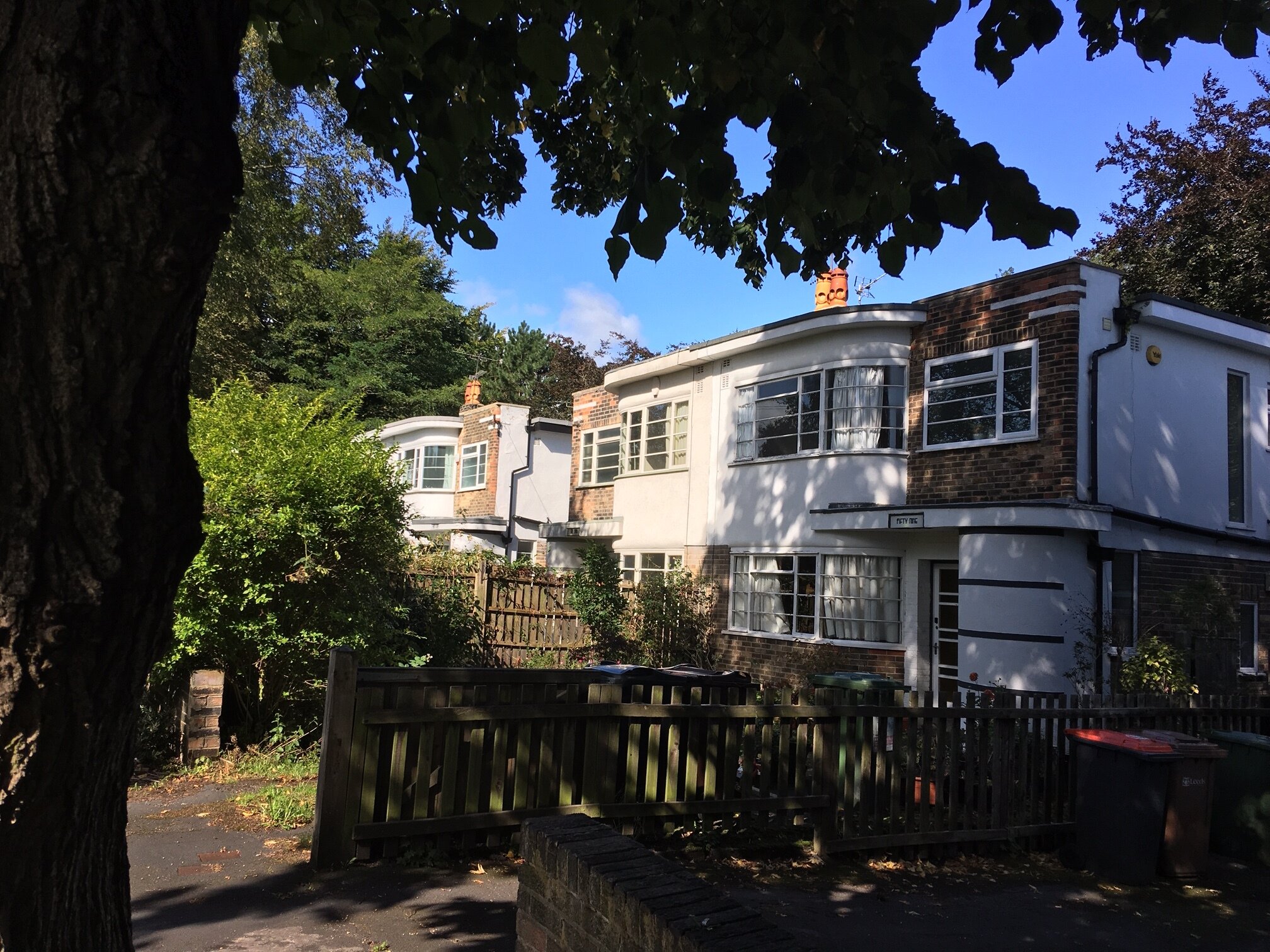

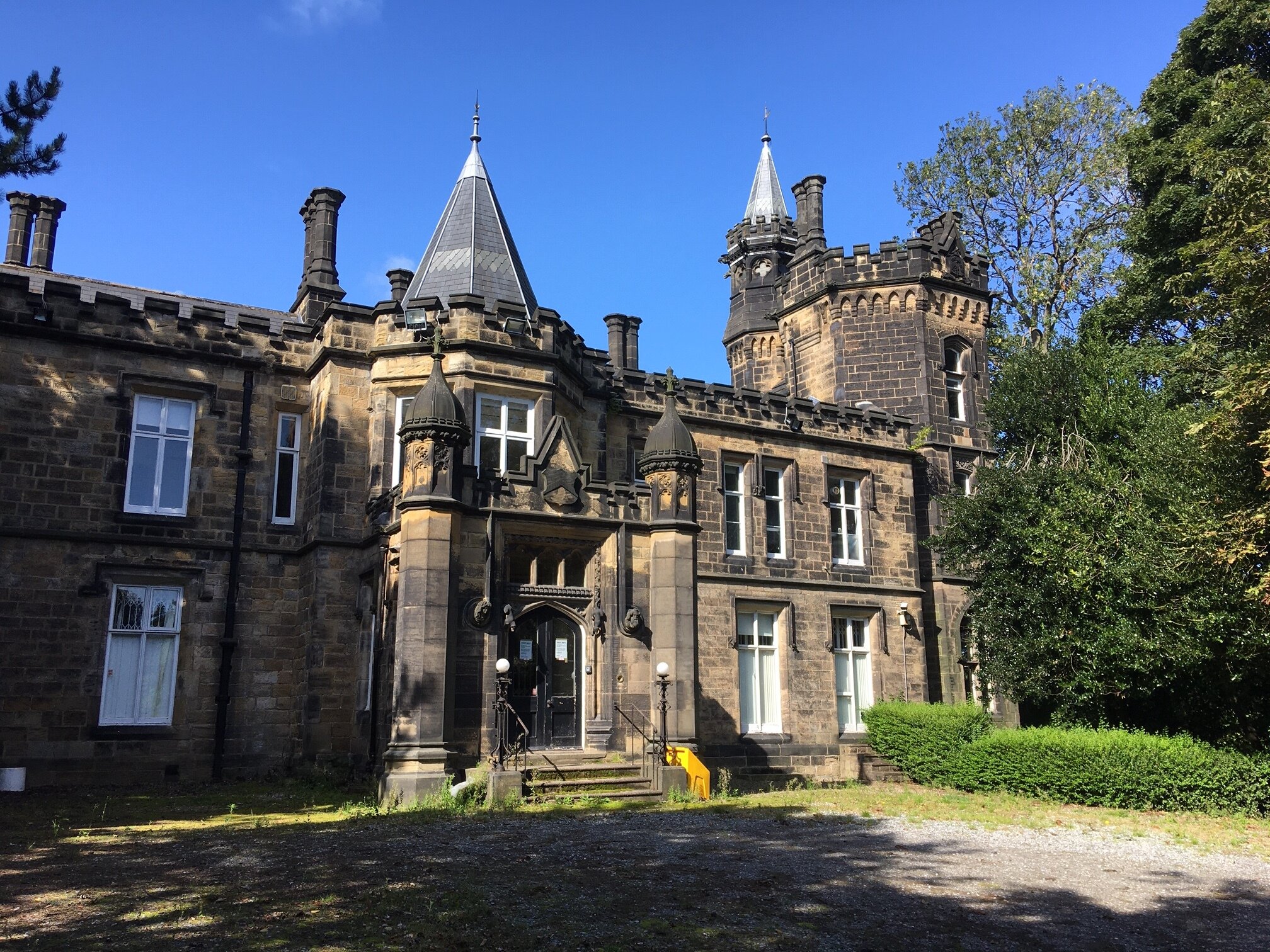
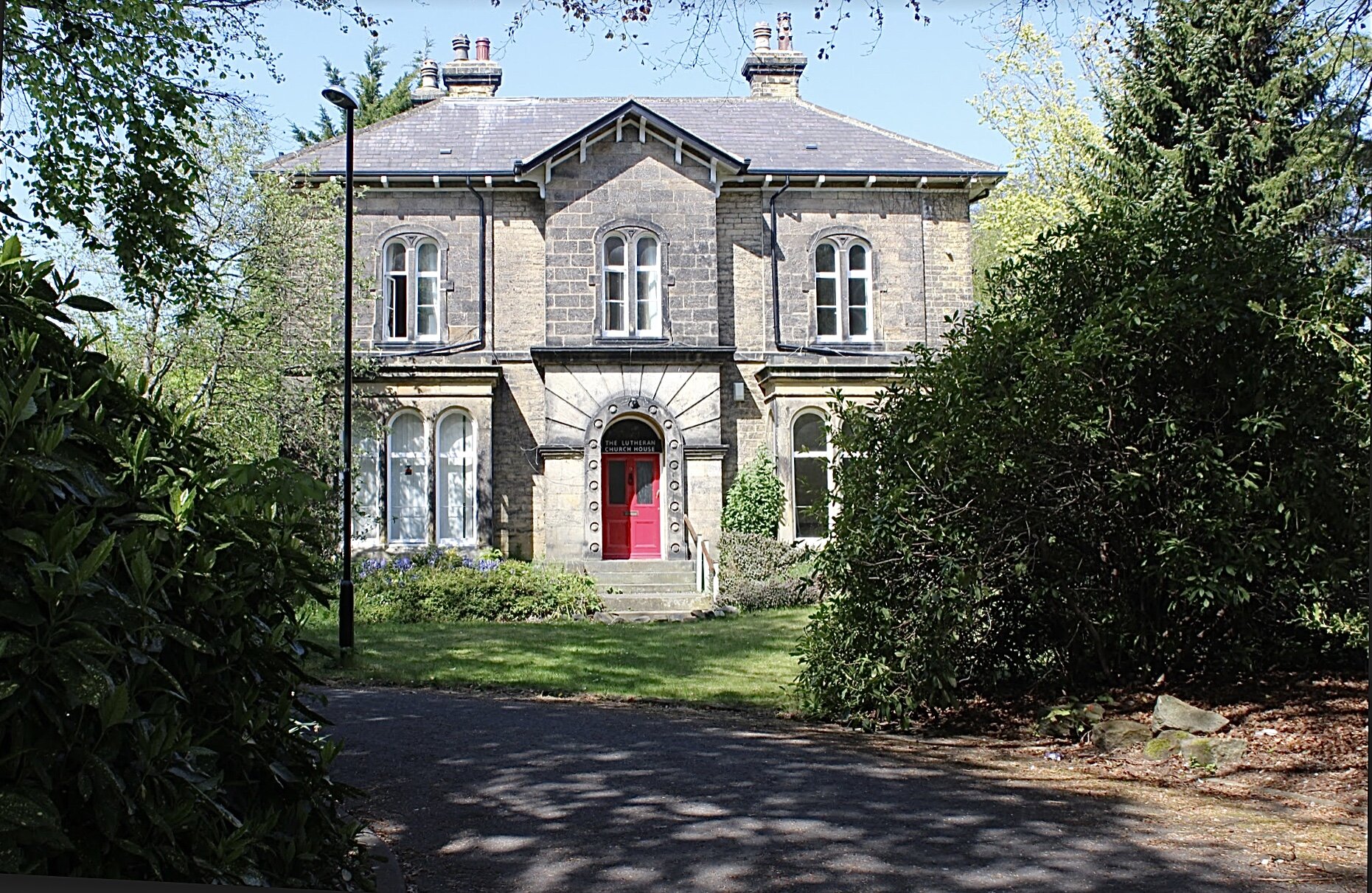
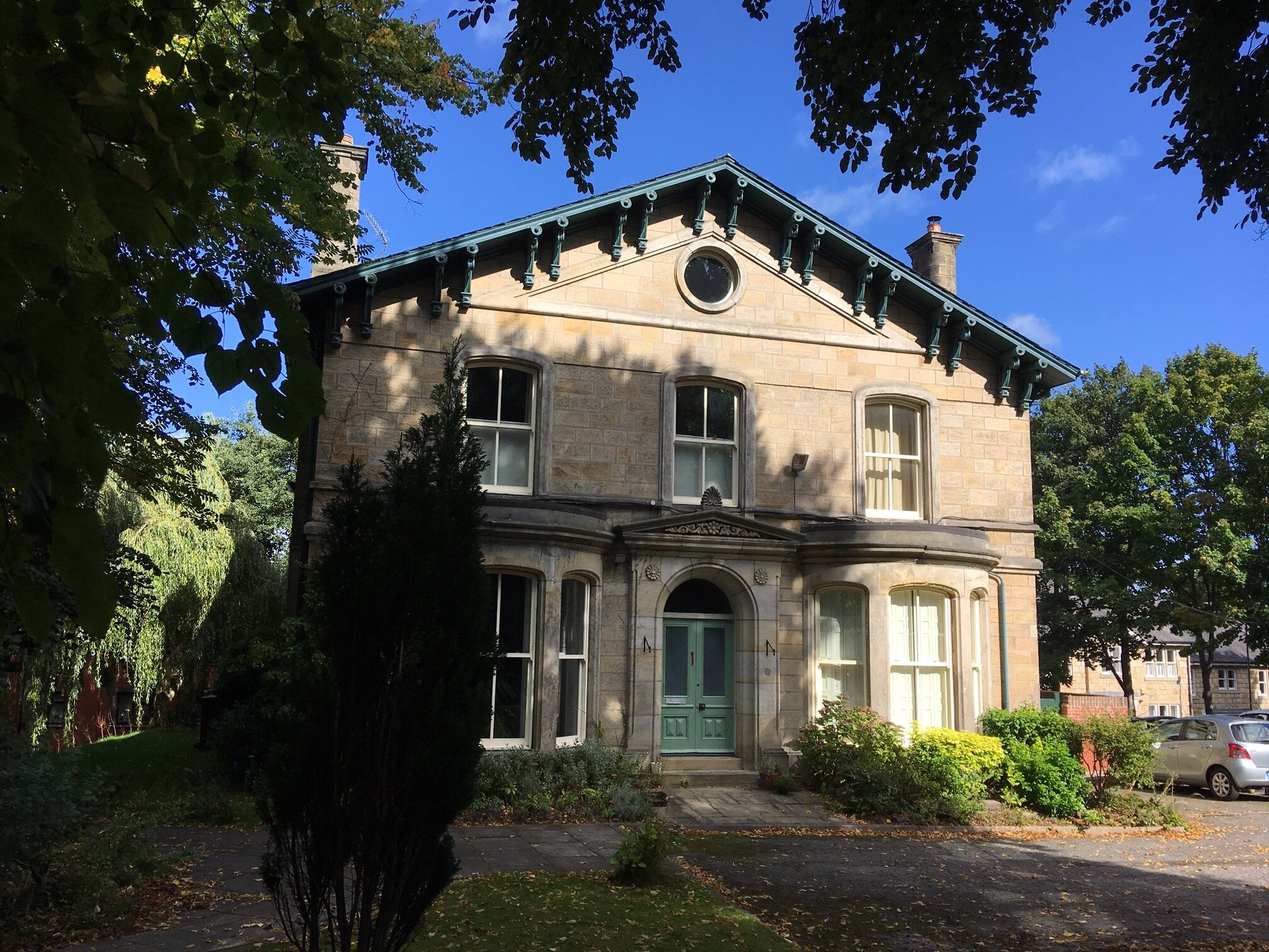
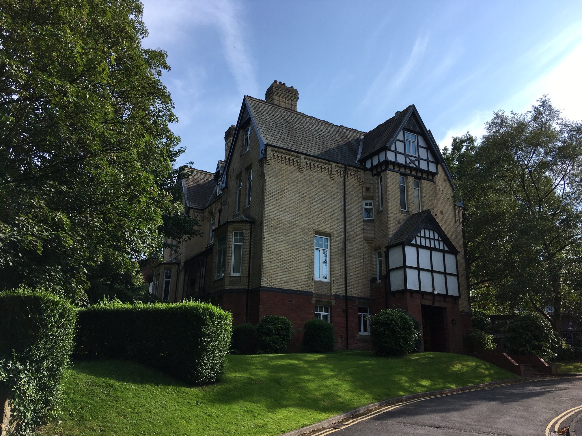


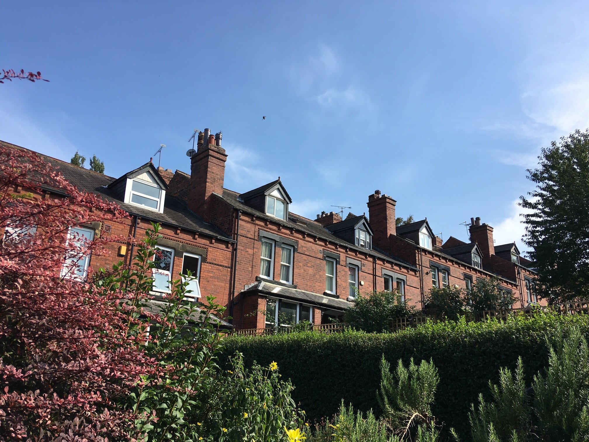

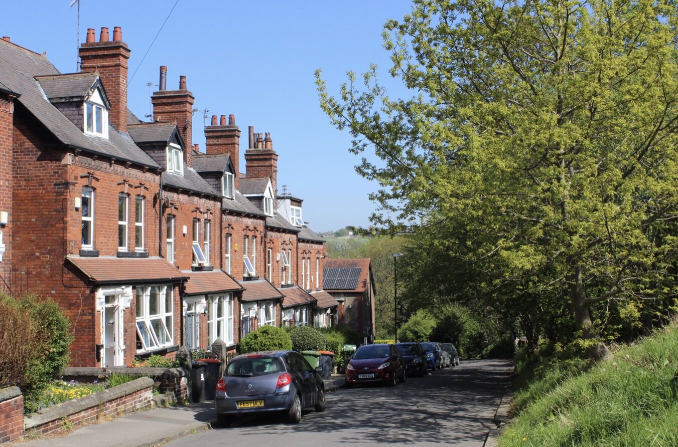
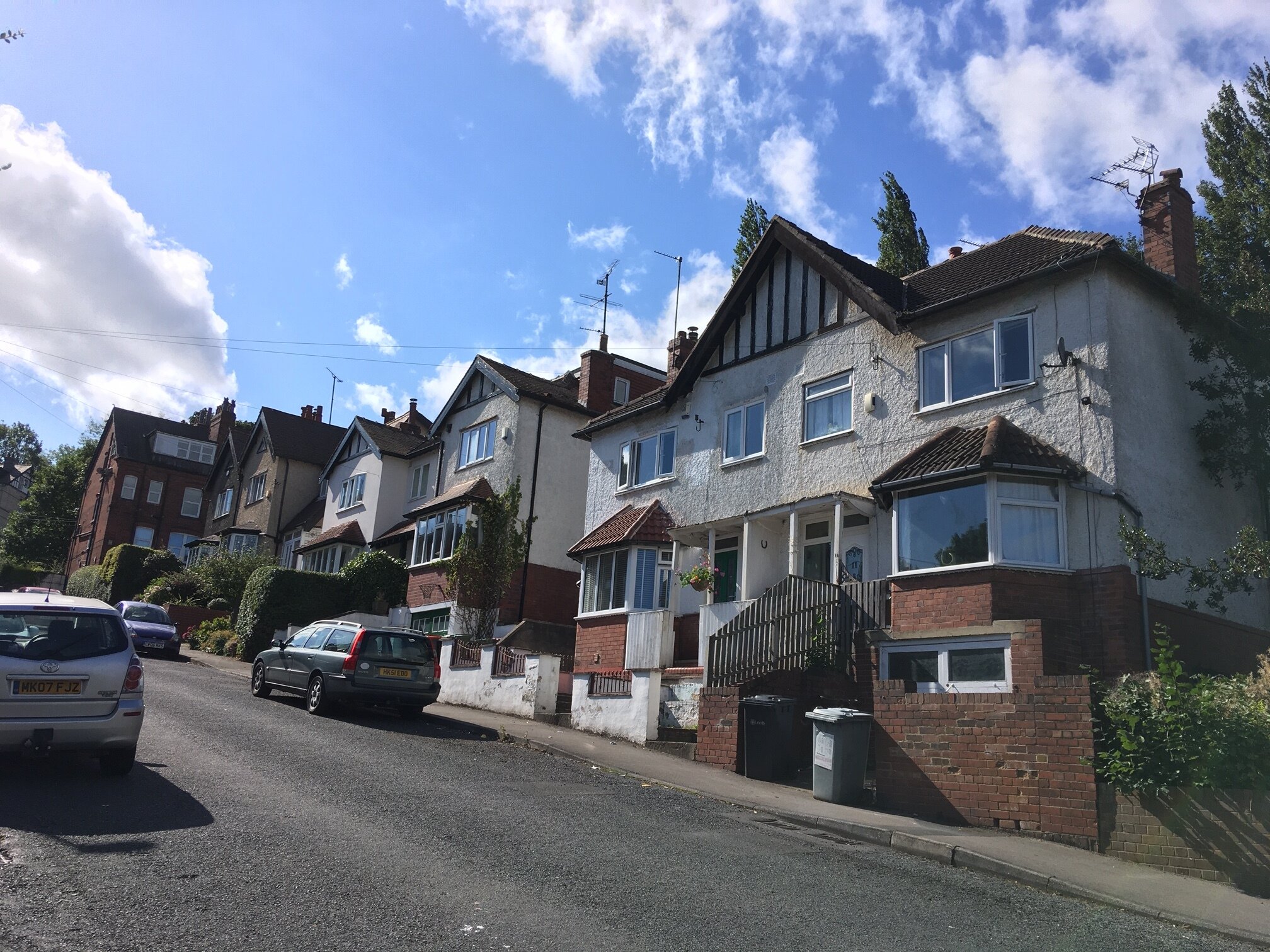
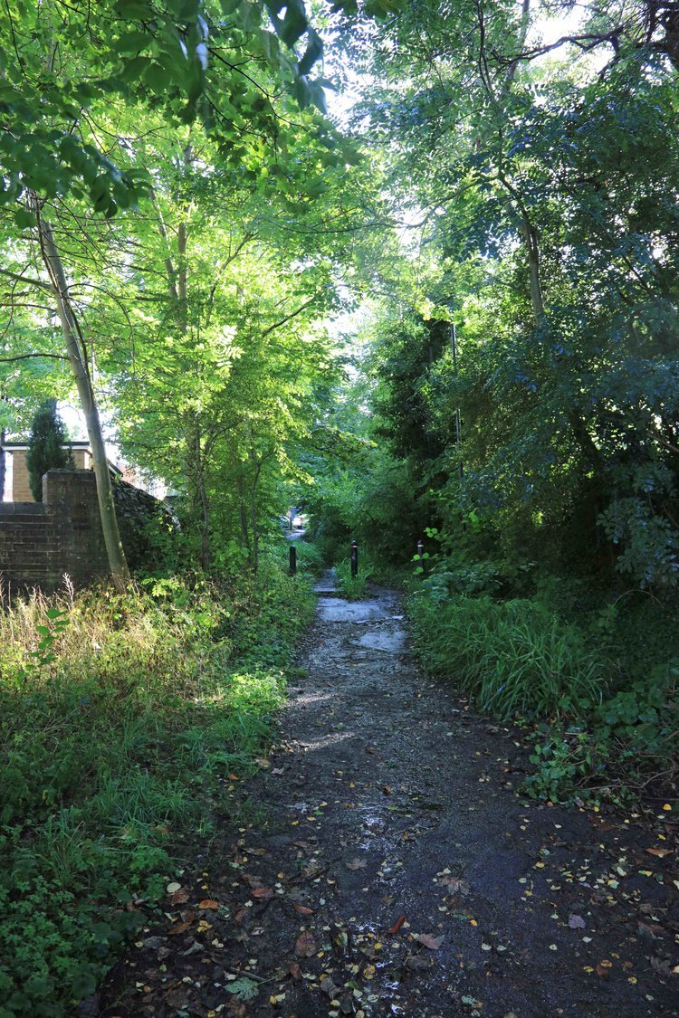
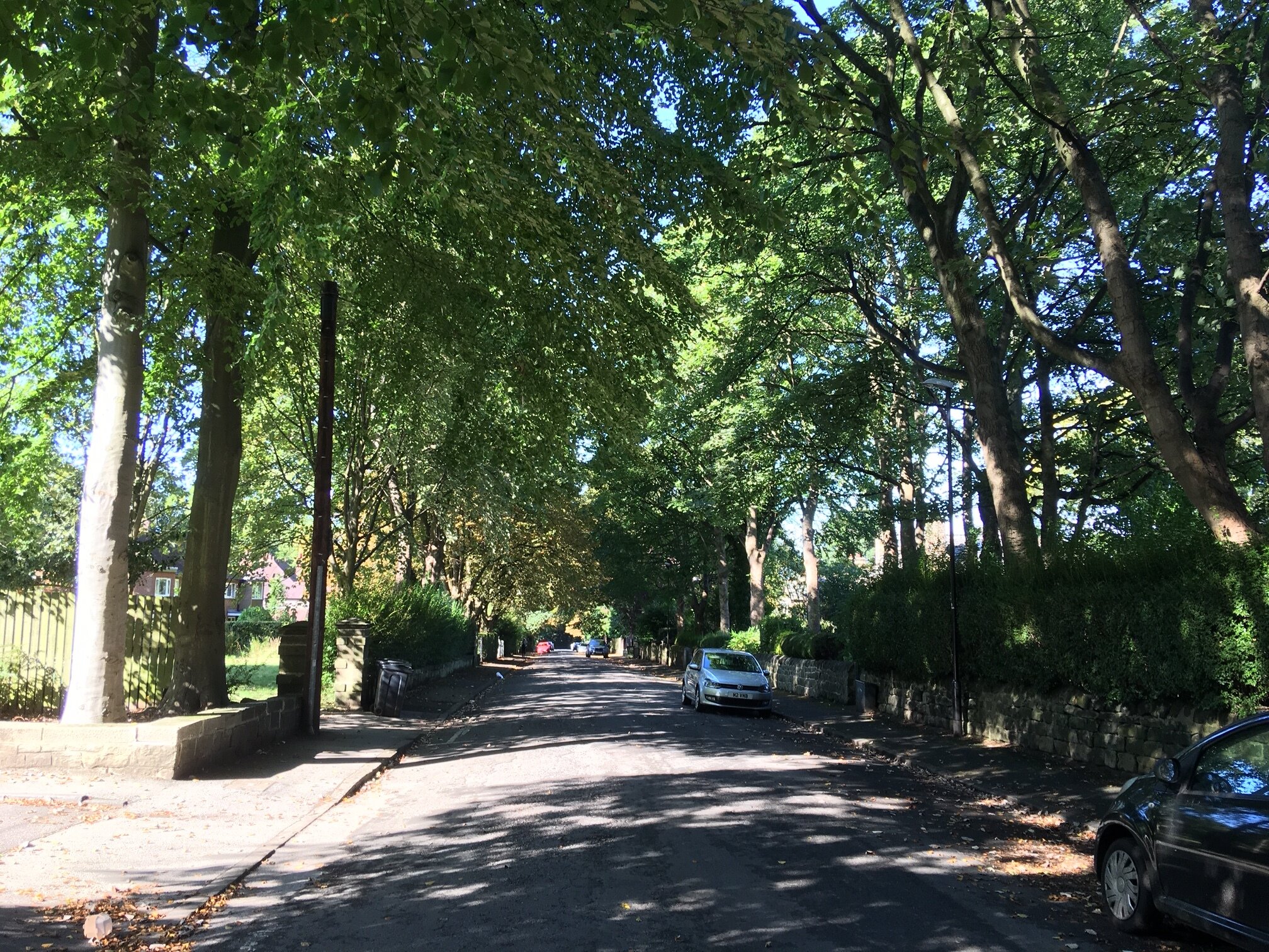
The Wood Lane area comprises Wood Lane itself, and three parallel streets, Grove Lane, Alma Road and Shire Oak Road, running east from Headingley Centre towards Meanwood Beck. See the downloadable map on the Home page.
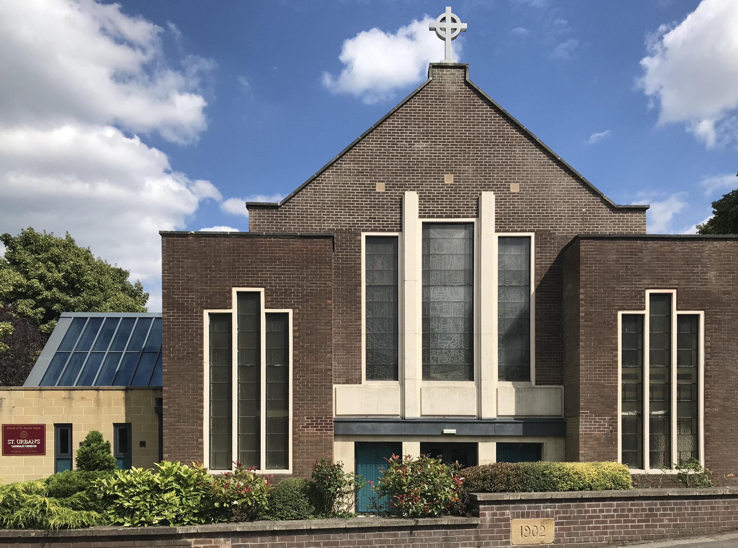
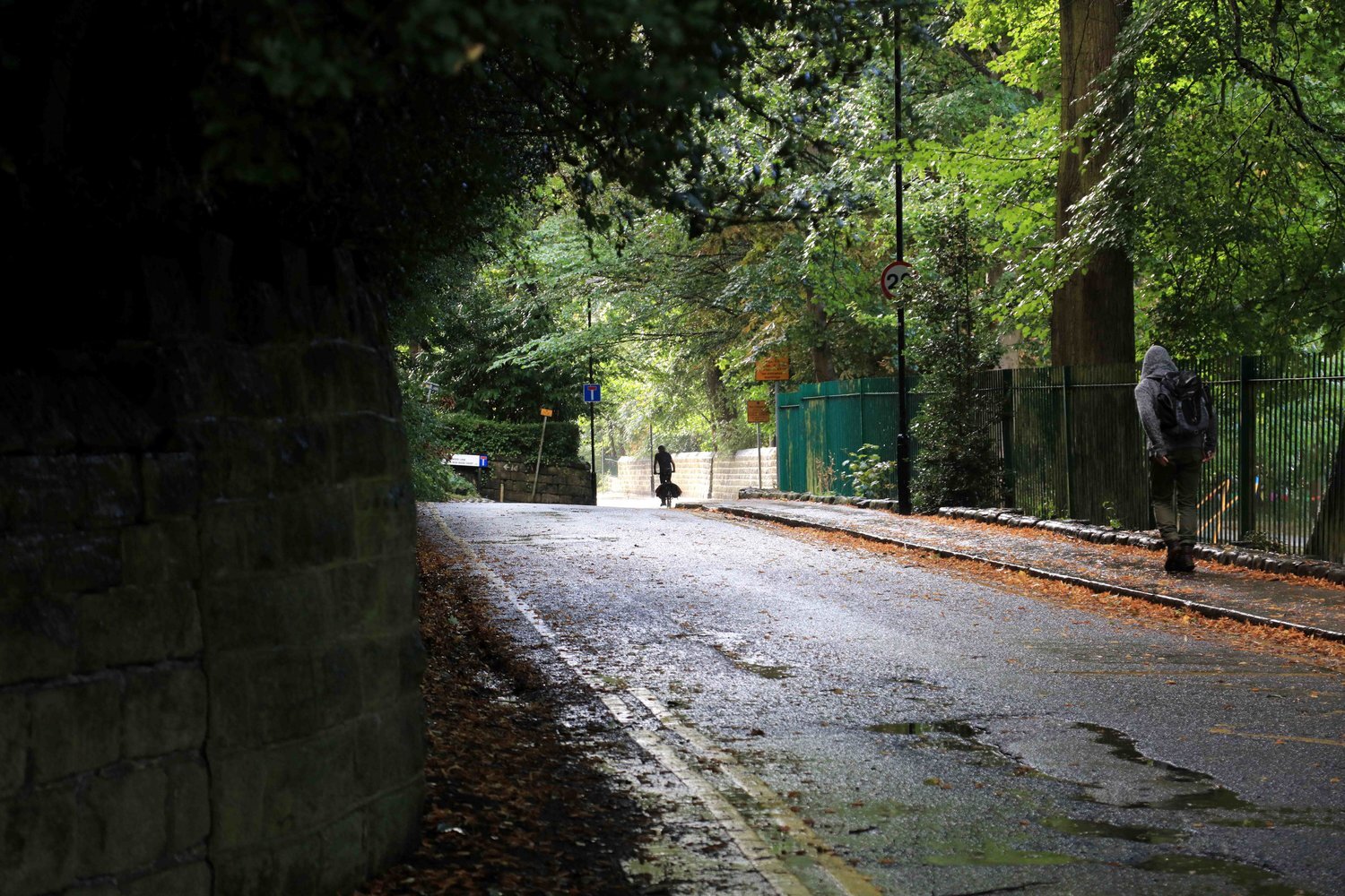
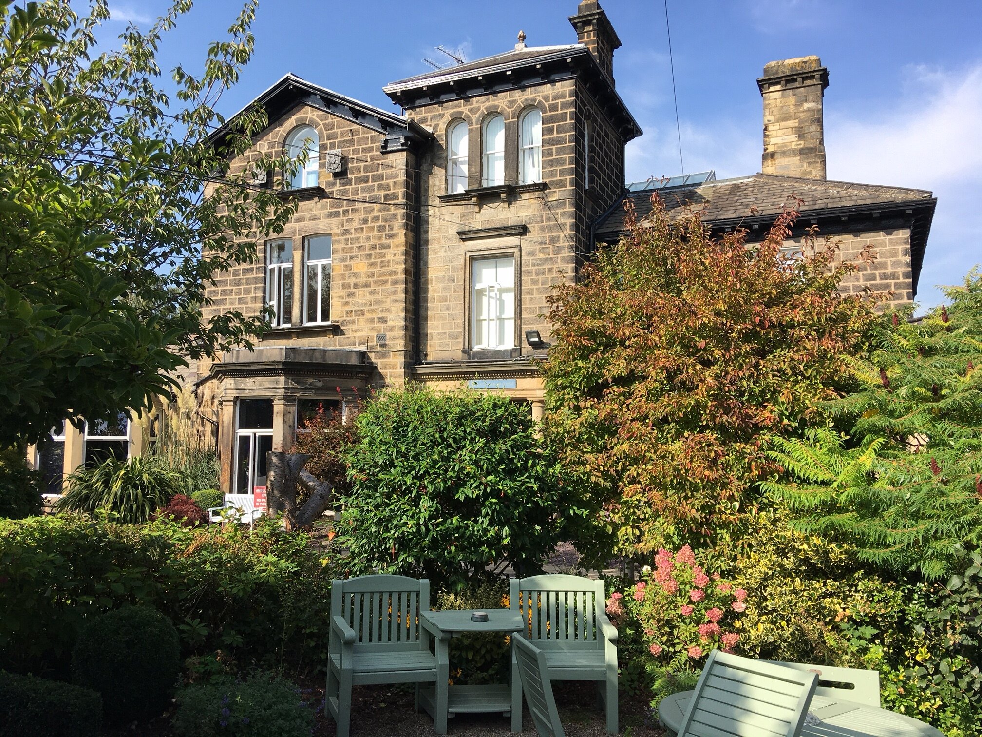
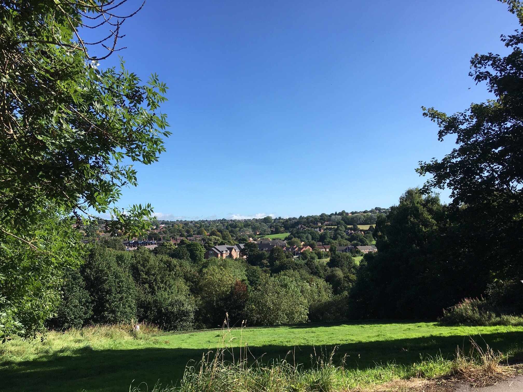
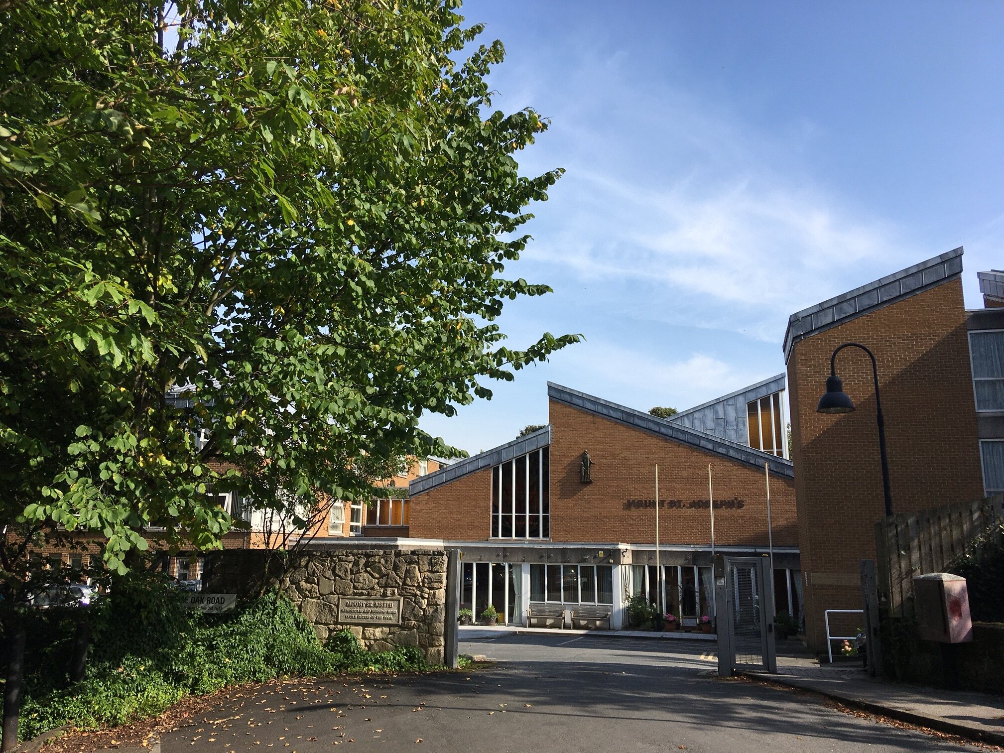
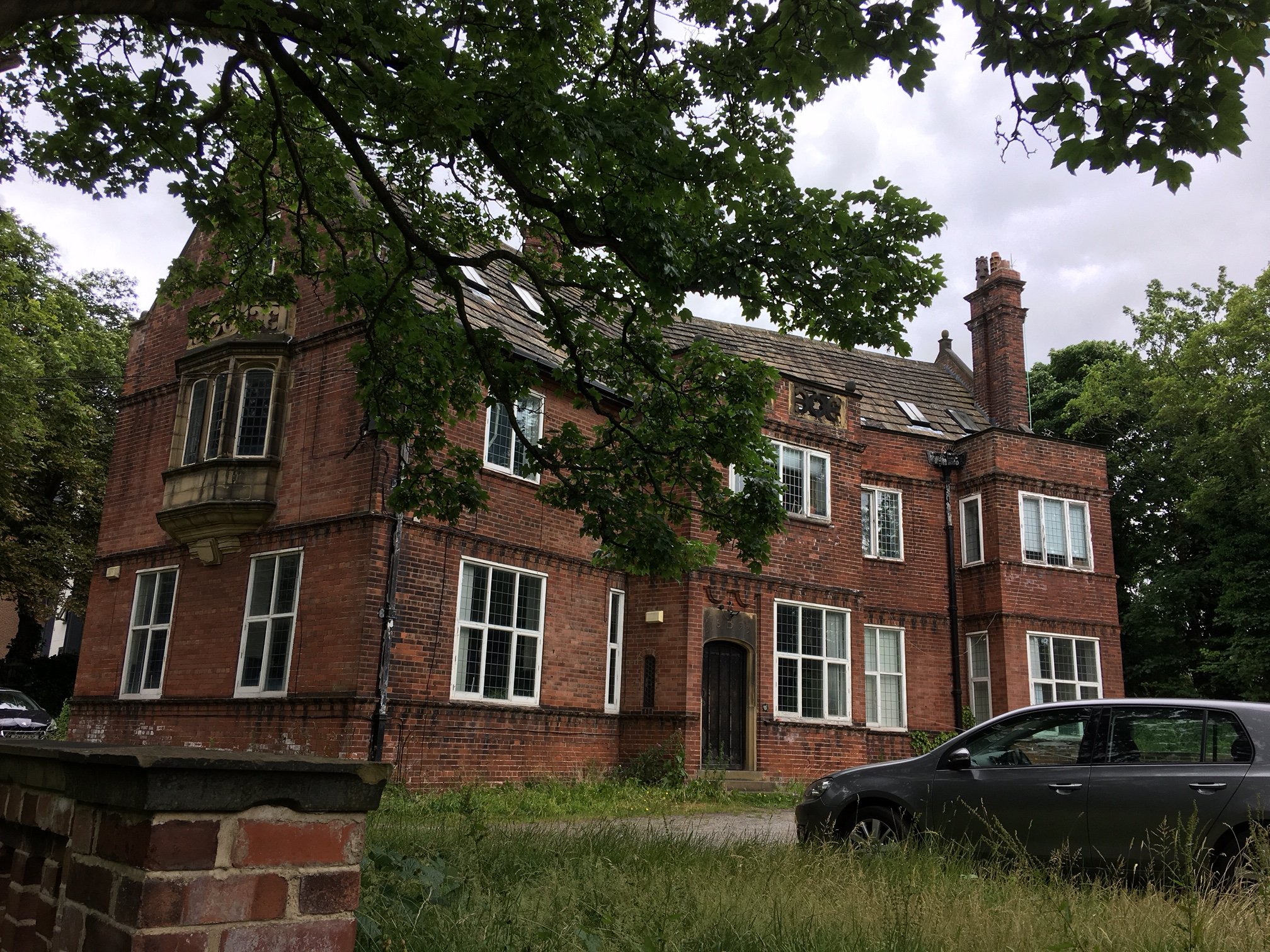
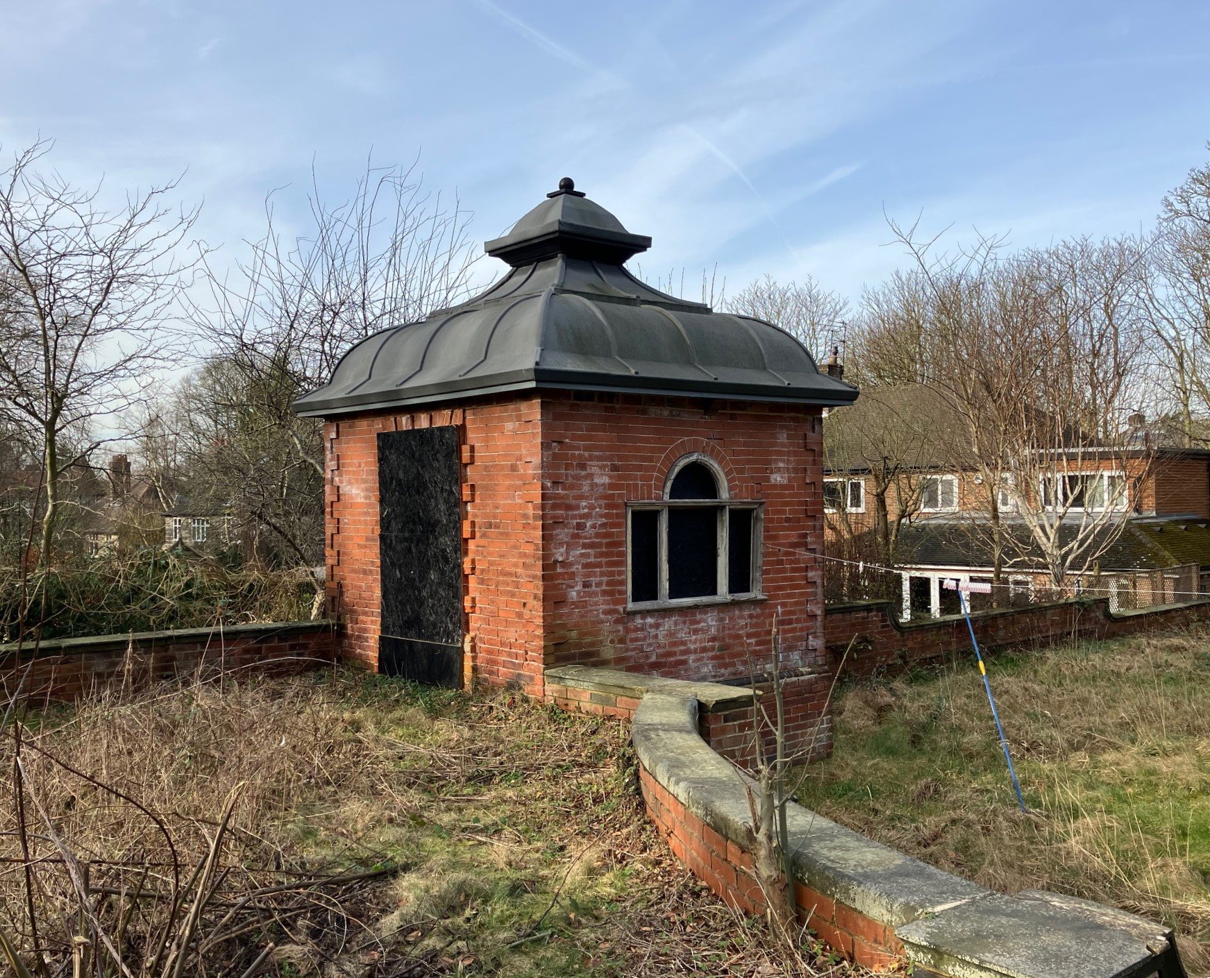
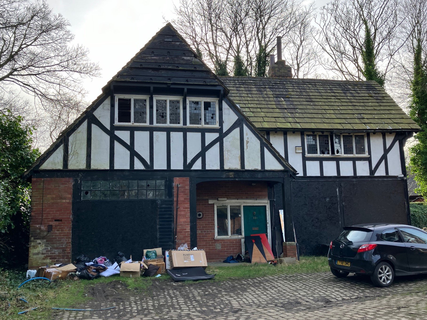
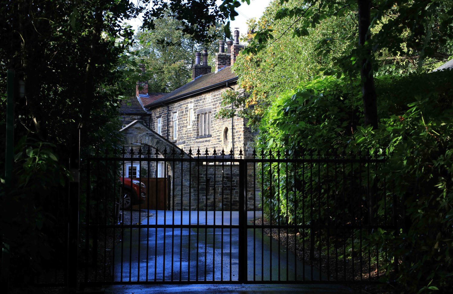
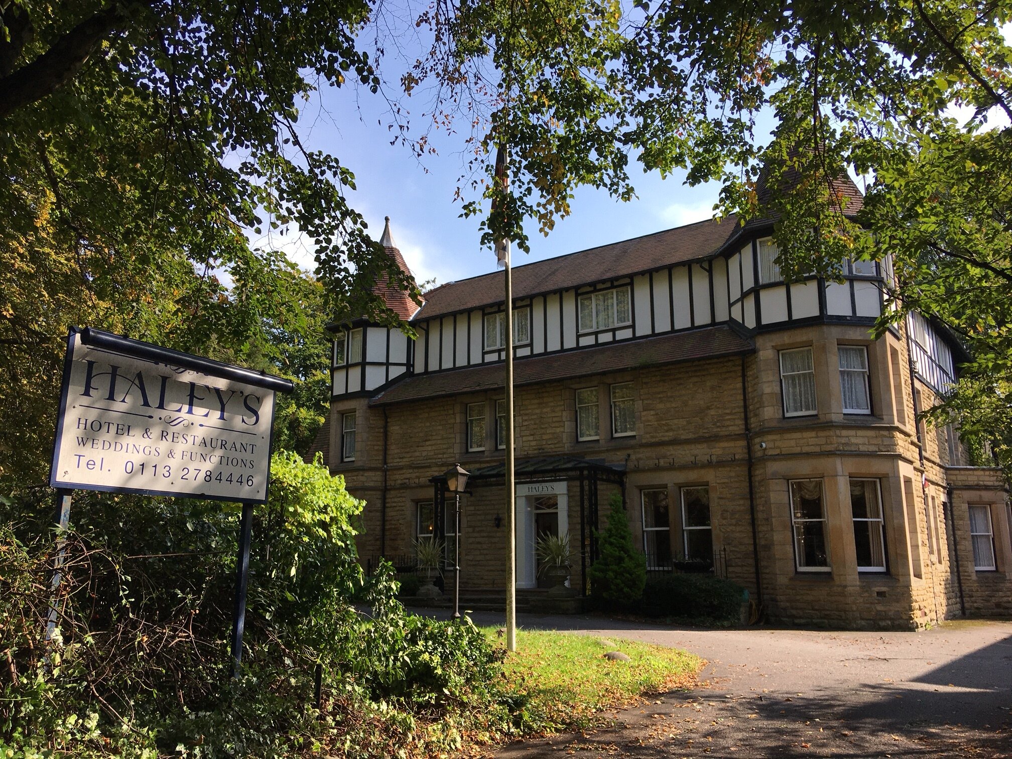
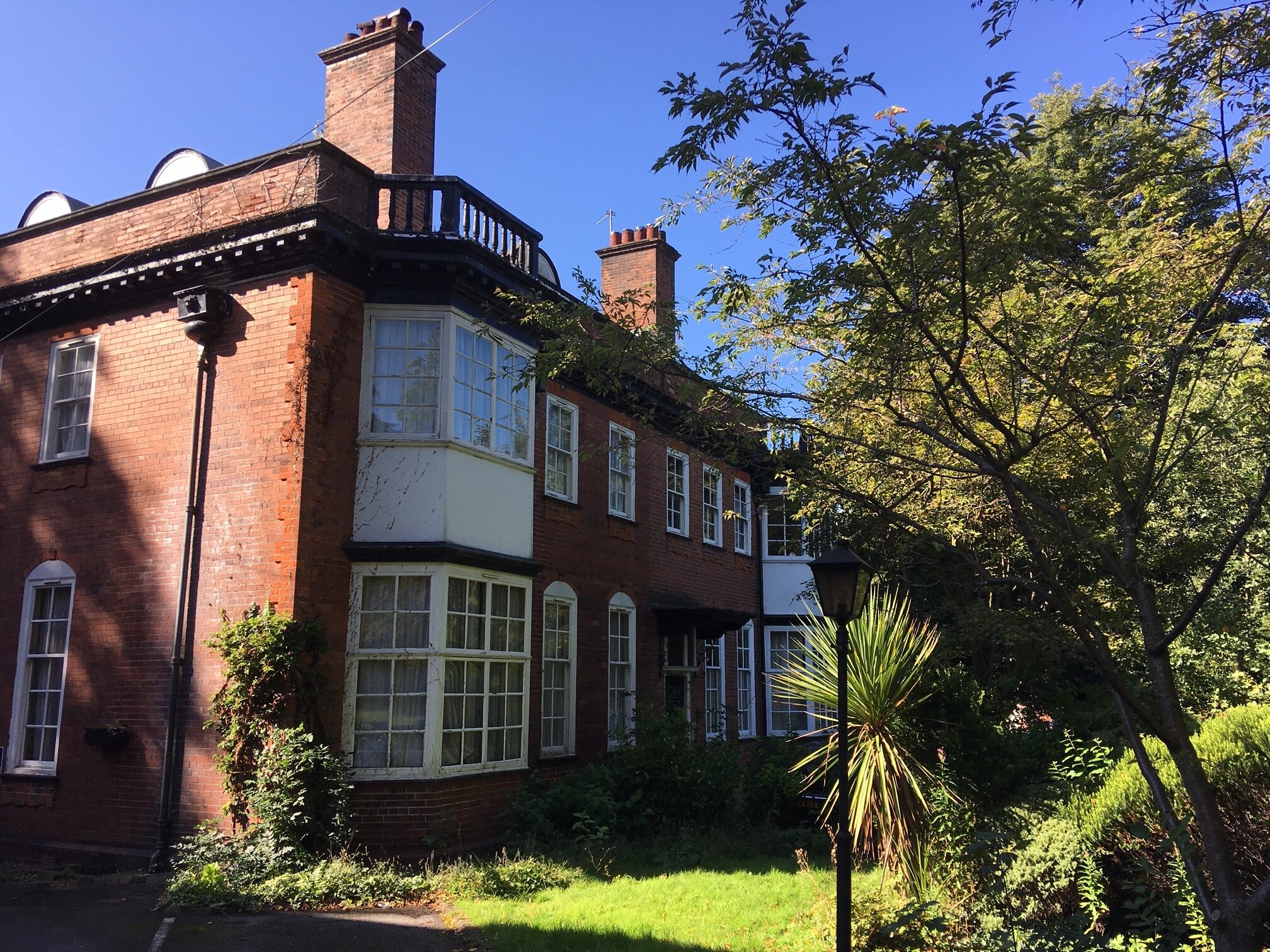
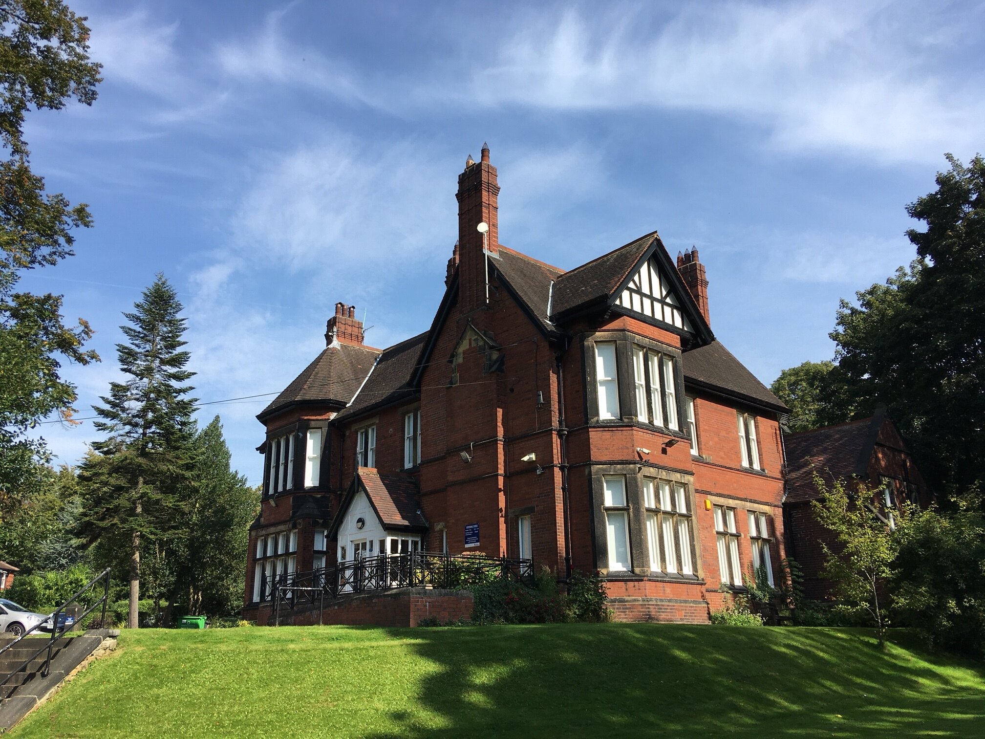
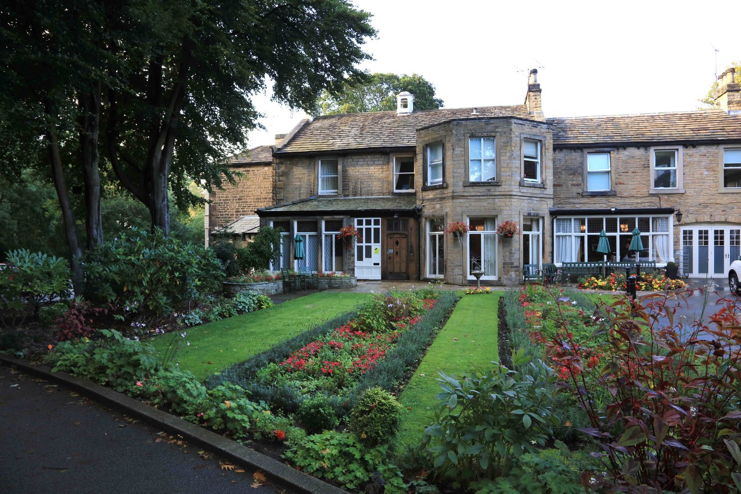
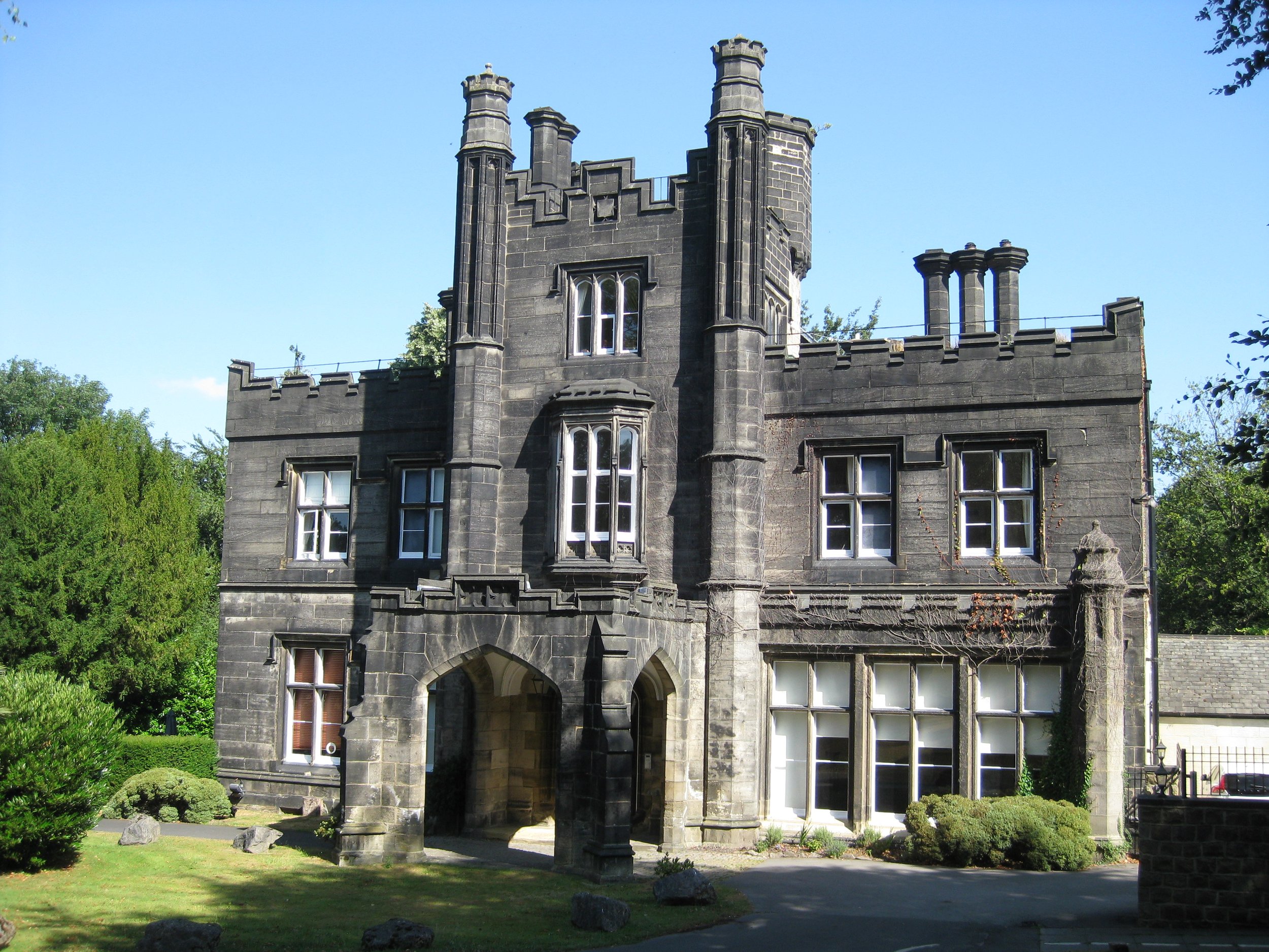
For an outline description of the area, go to Wood Lane and see also the Listed Buildings there. Wood Lane is a residential neighbourhood, with a School, and shops in the adjacent Headingley Town Centre (go to Shopping Centres). The local park is Woodhouse Ridge. Explore the area by following the Eastern Walk in the HEART Walks, which you can find on the Walk page. Also, the Millside Meander finishes at the far end of Wood Lane. Buses from Headingley Town Centre connect to town and the Dales, and for visitors, there is Haley’s Hotel.
Photographs by kind permission of Jerry Hardman-Jones (JHJ), Helen Pickering (HP), Mike Sells (MS) and Richard Tyler (RT). Photographs are subject to copyright and should not be reproduced without the owner's permission.
For historic photographs of the area, go to Historic Wood Lane. For other neighbourhoods, go to Headingley Now.
