
West Park

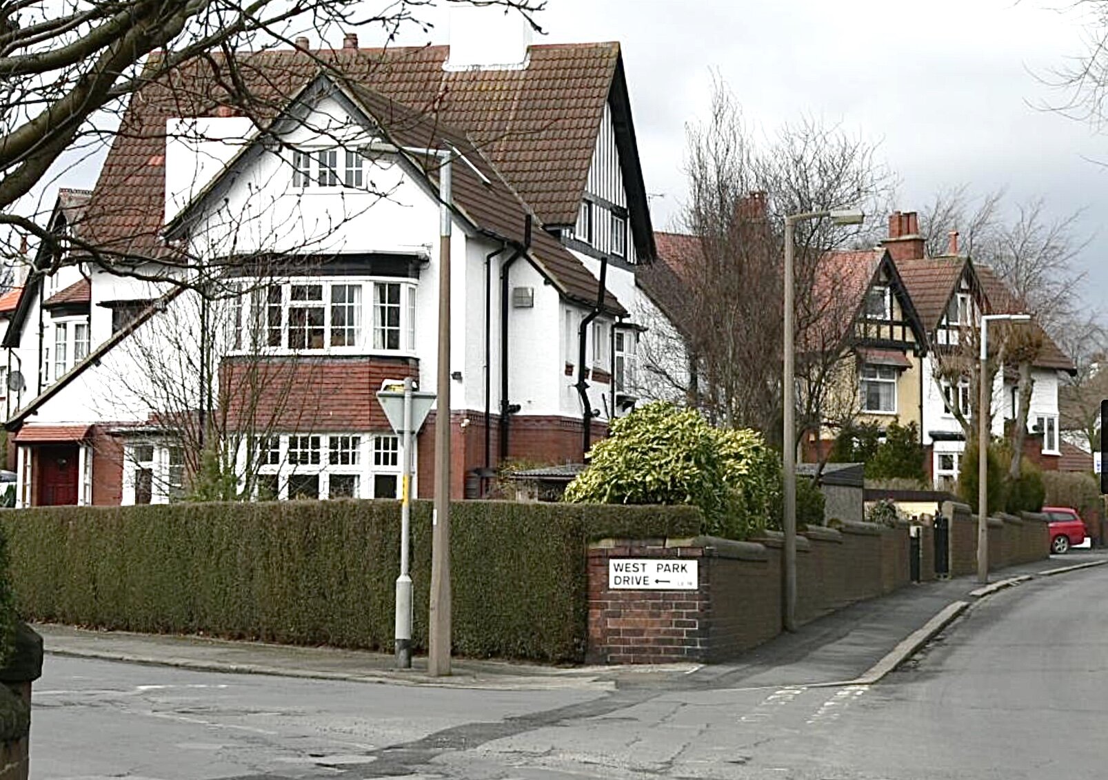
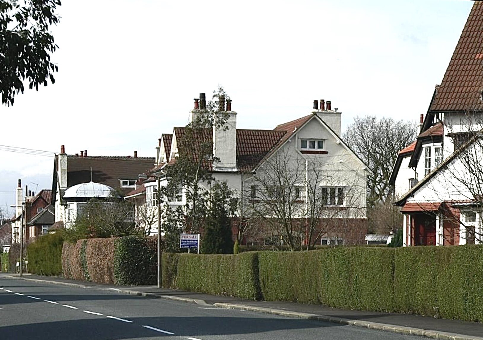
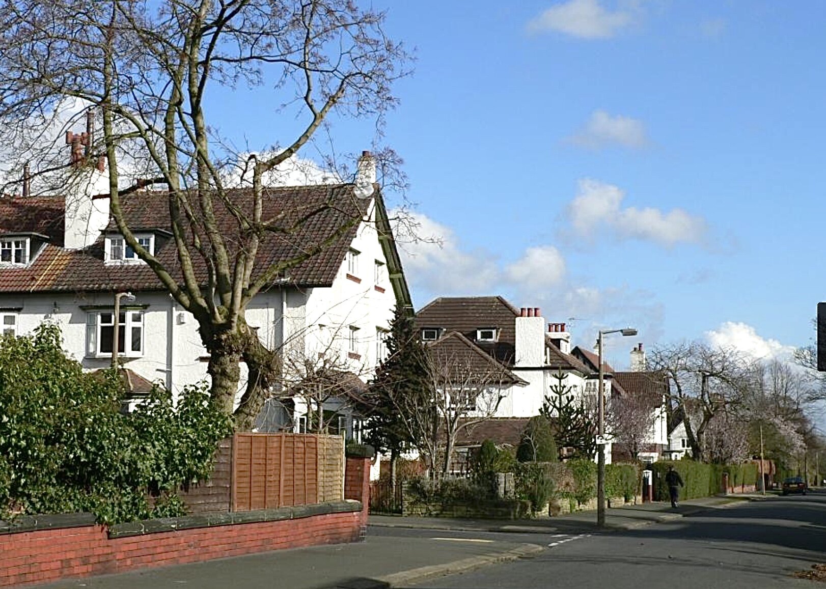


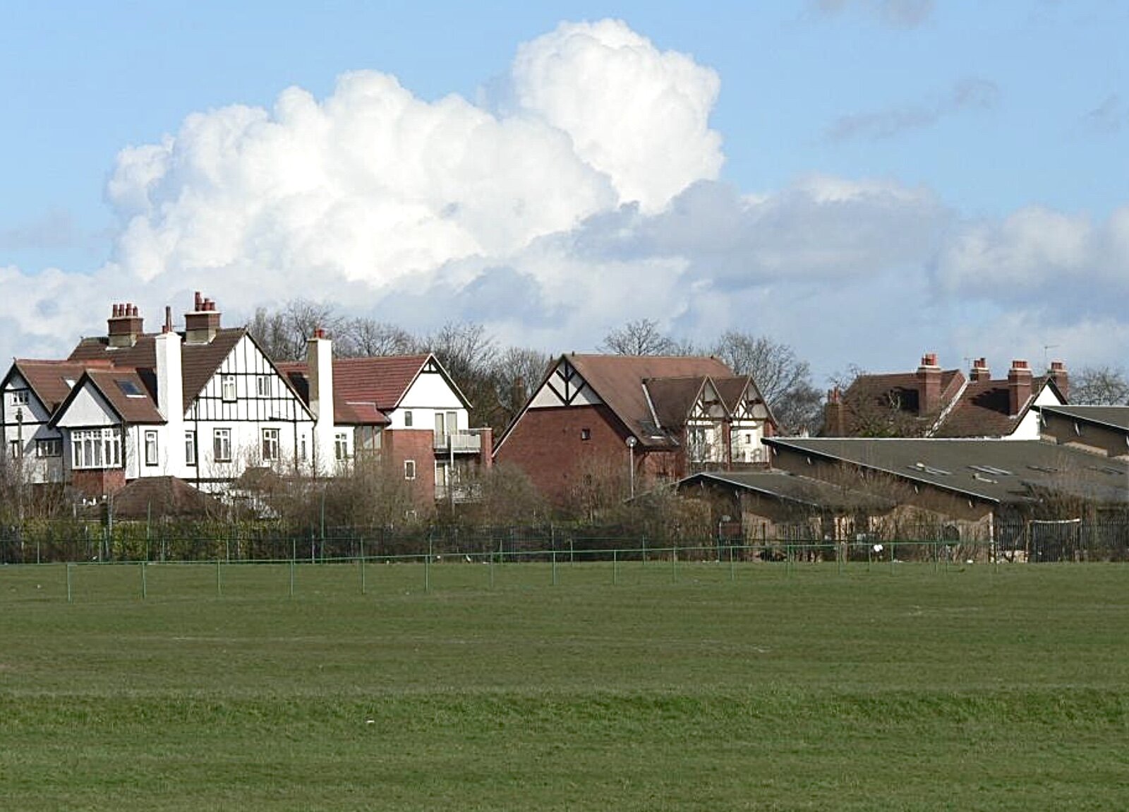

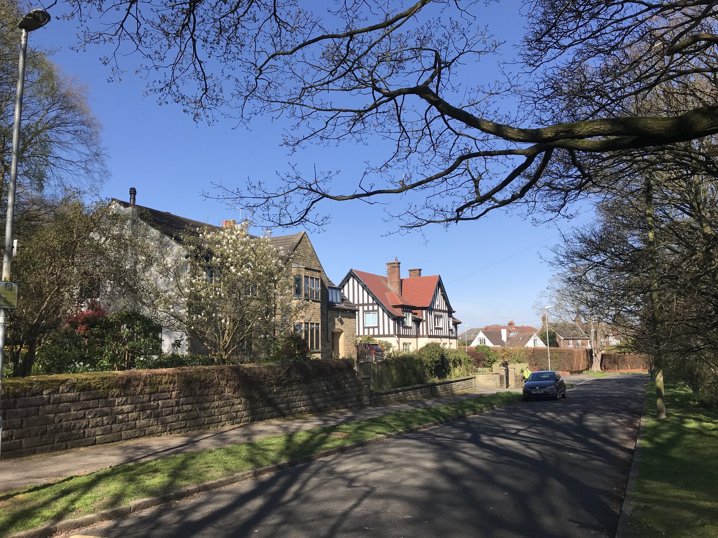
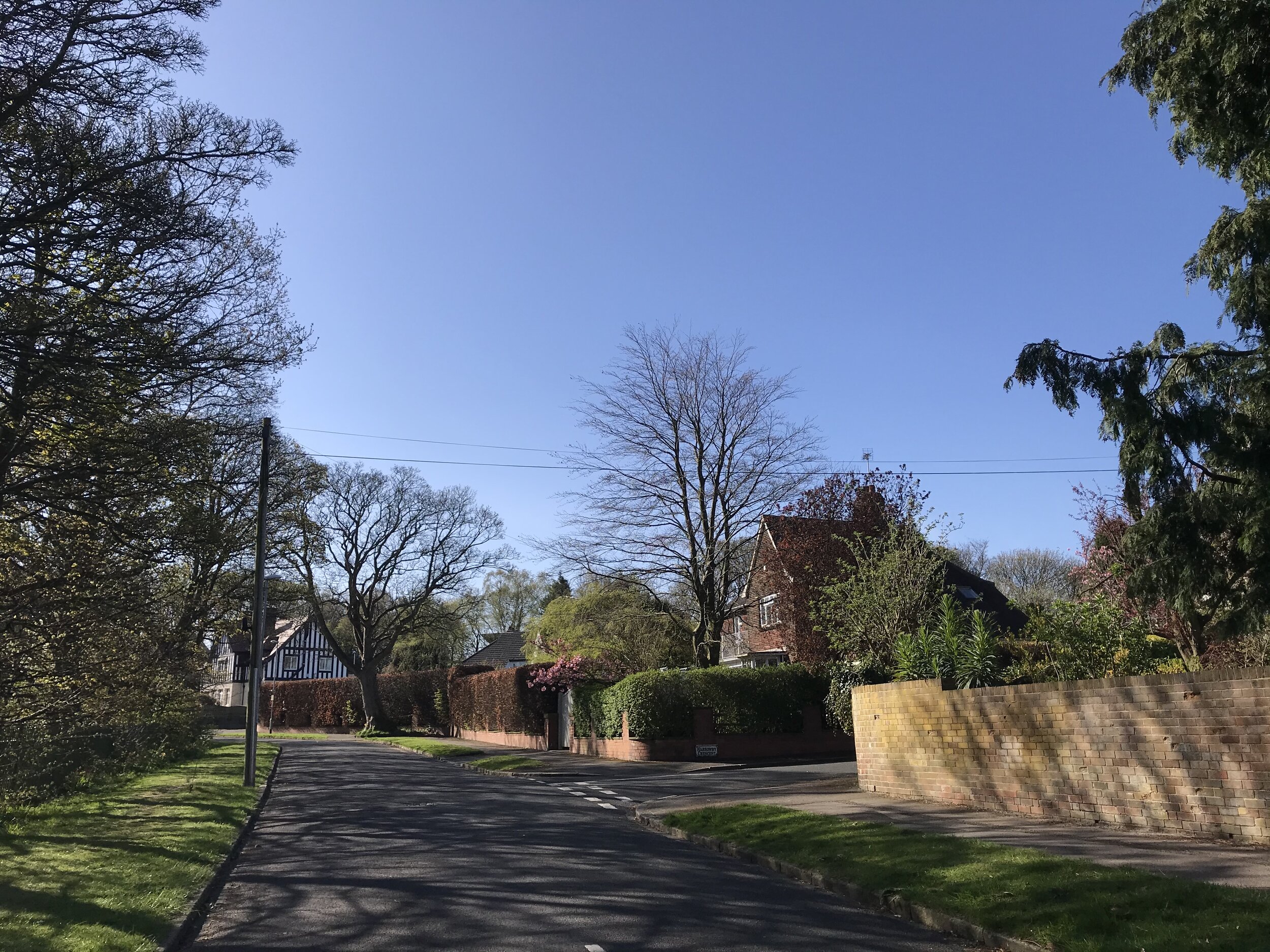


West Park lies broadly (but not entirely) between Spen Lane to the west and Otley Road to the east, and between Leeds Ring Road to the north and West Park Fields to the south. See the downloadable map on the Home page.
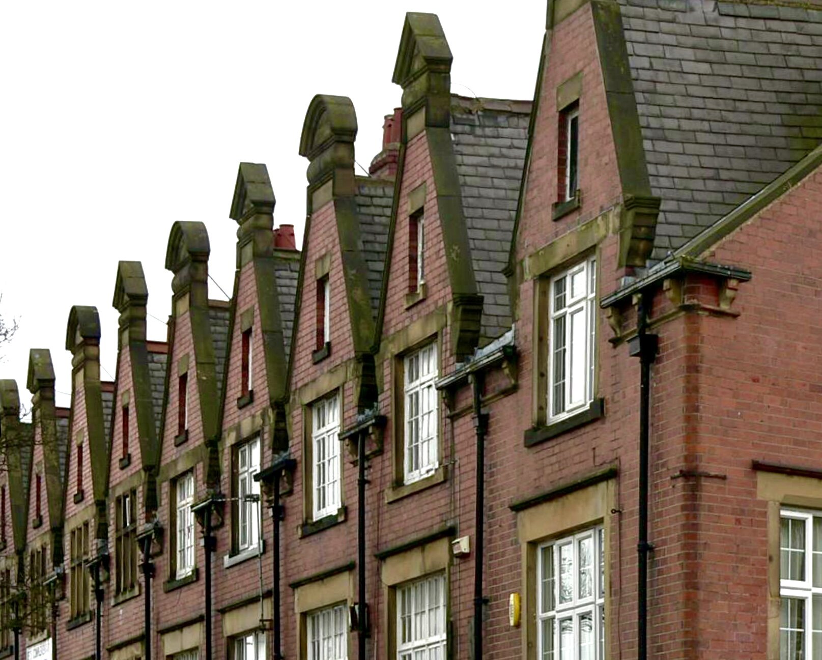
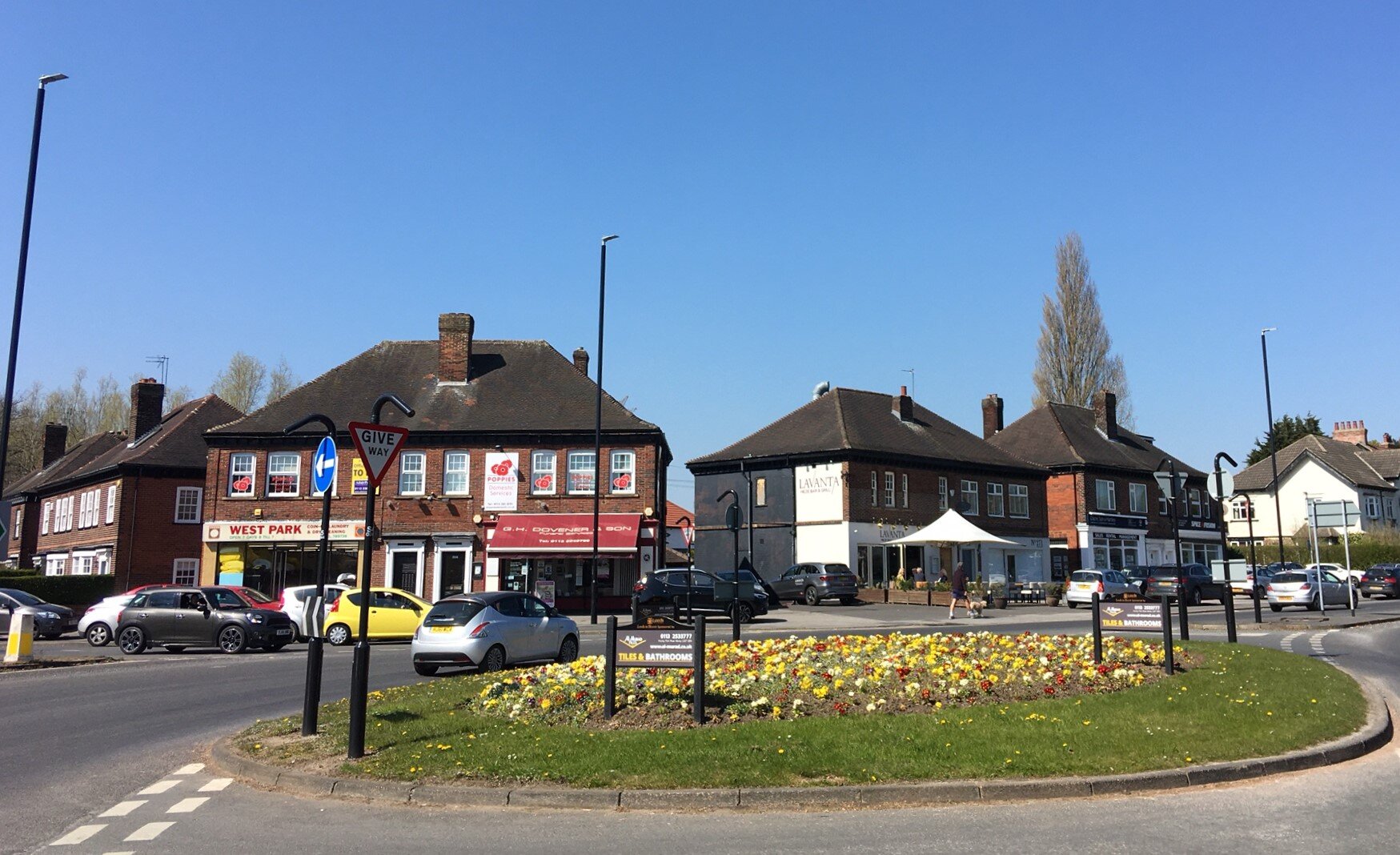
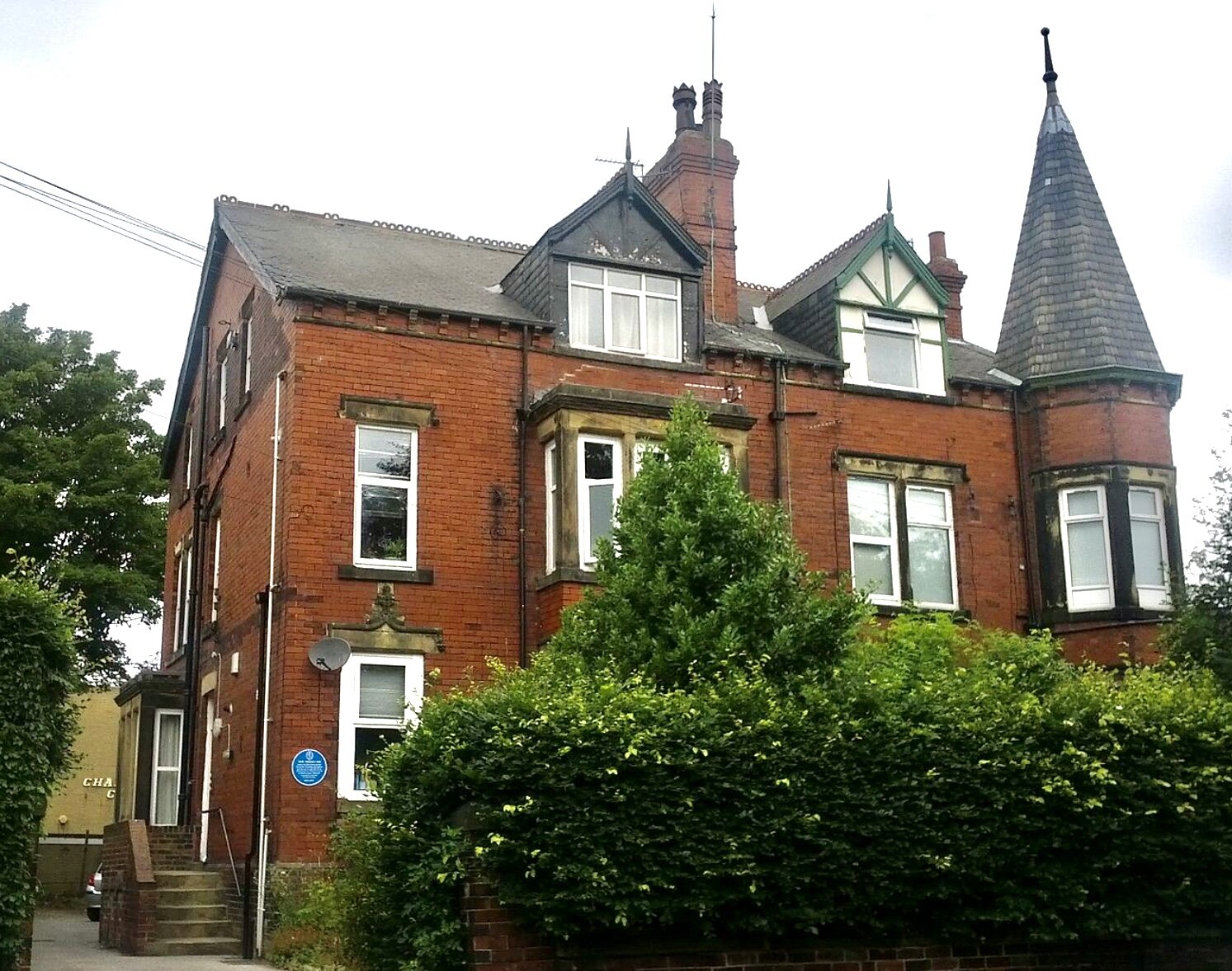
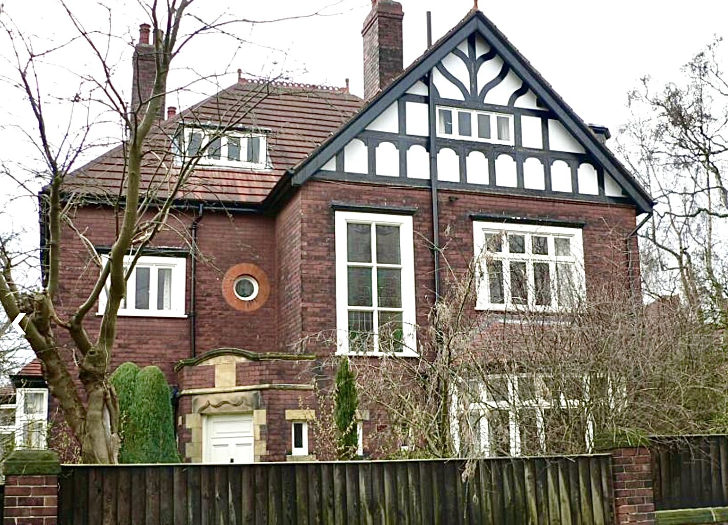
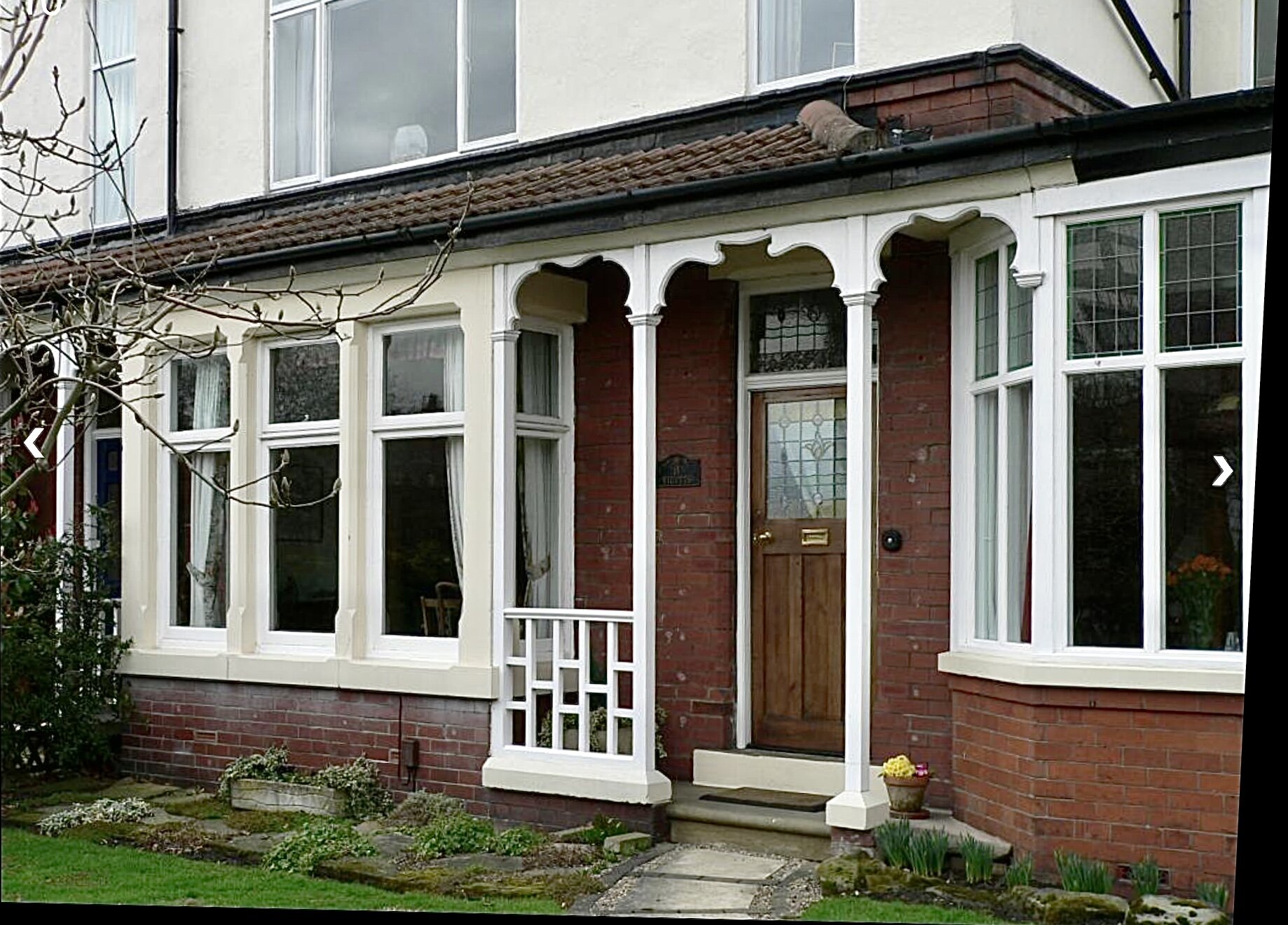
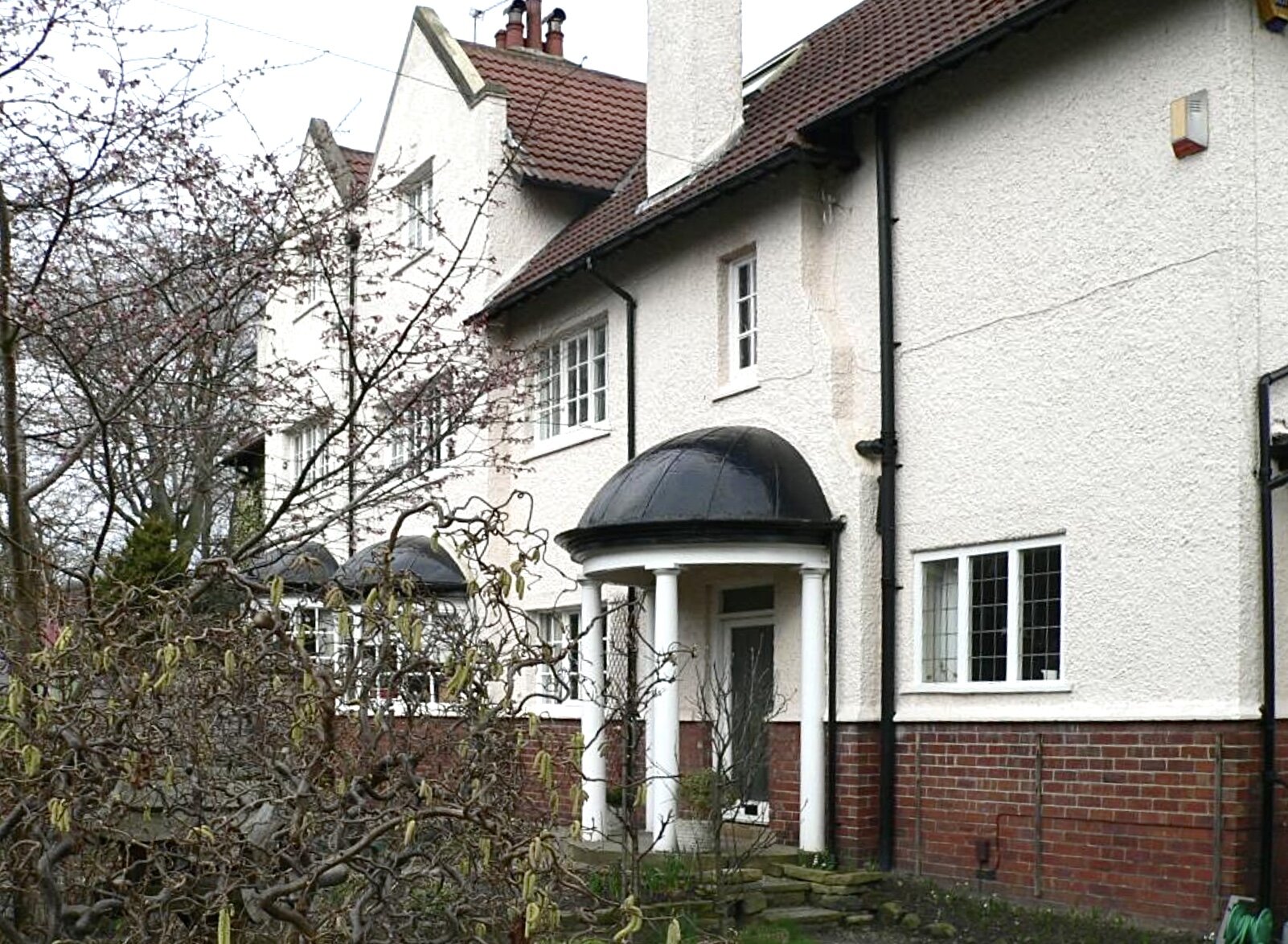
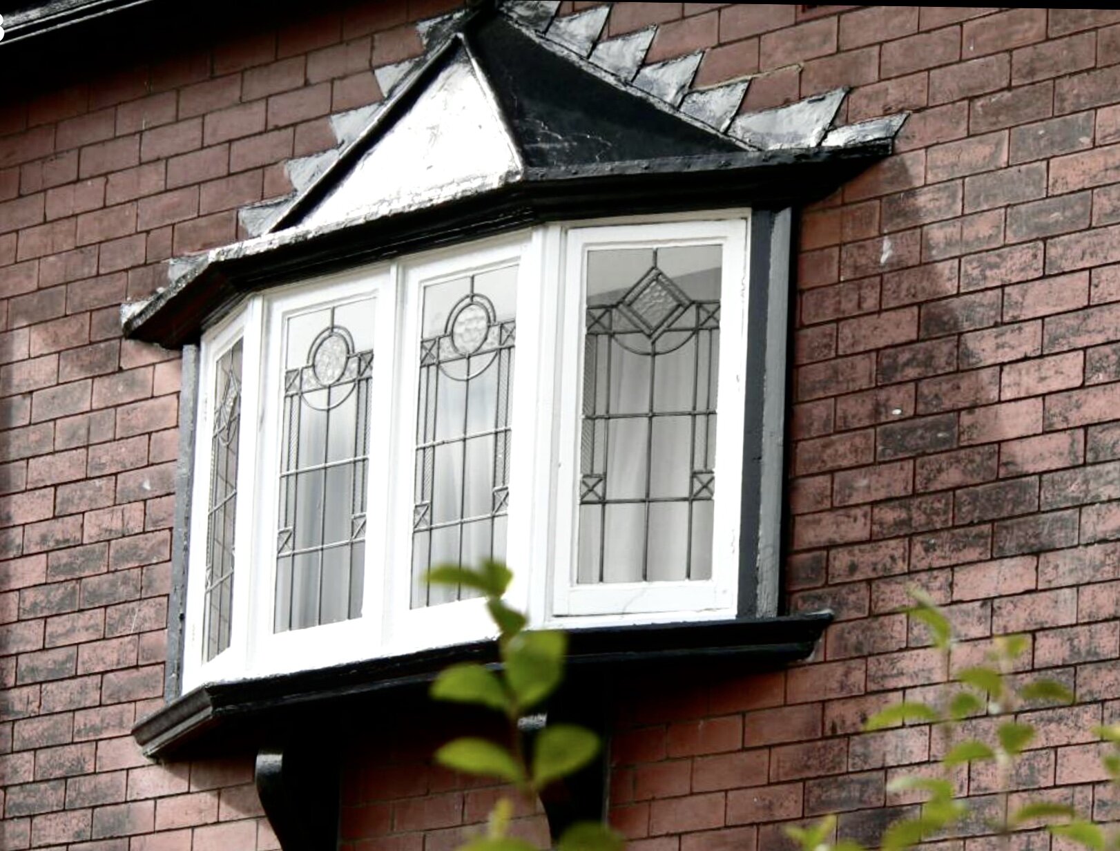
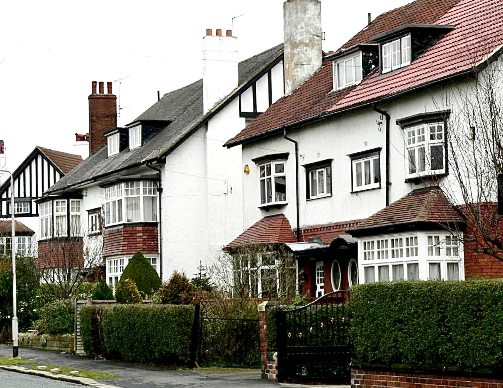
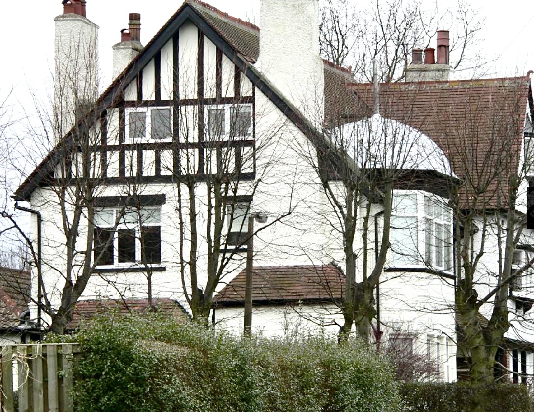
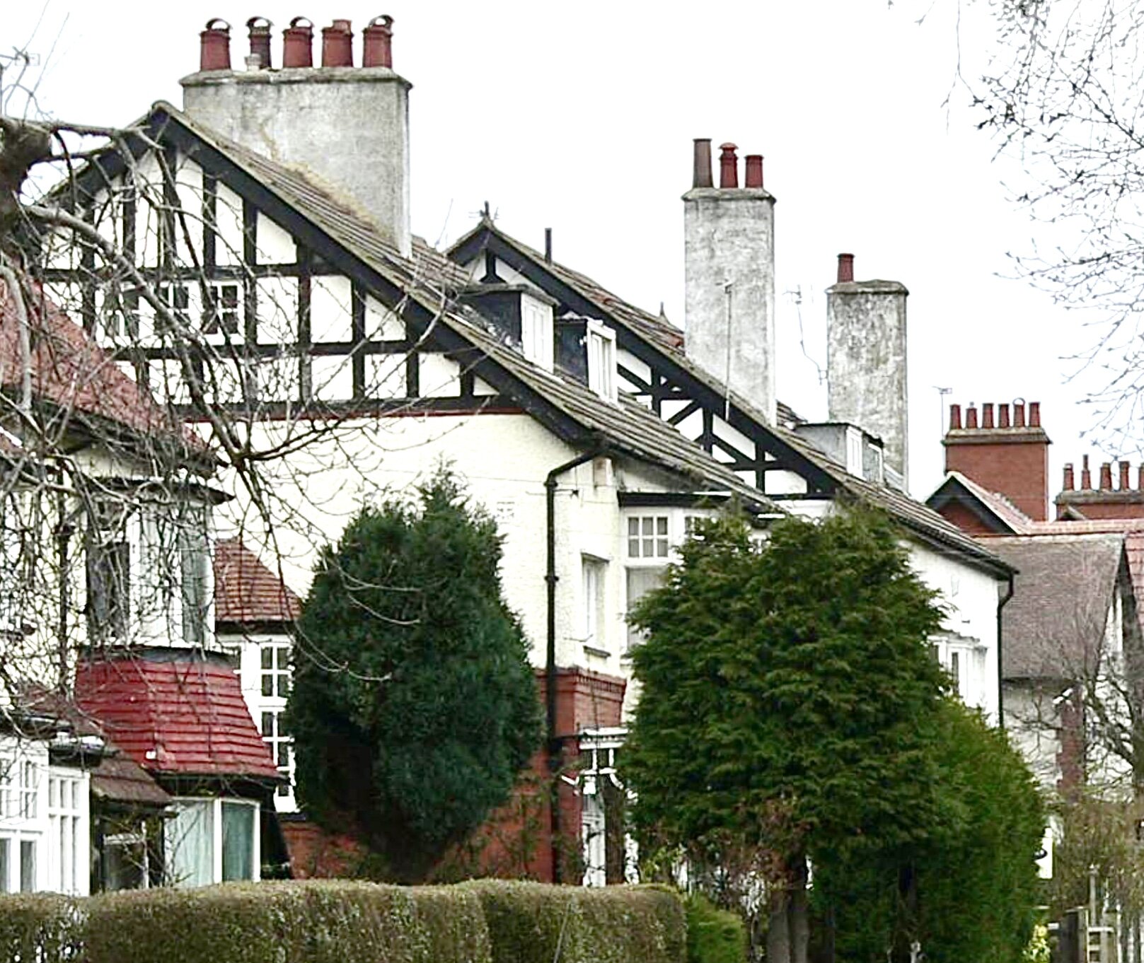
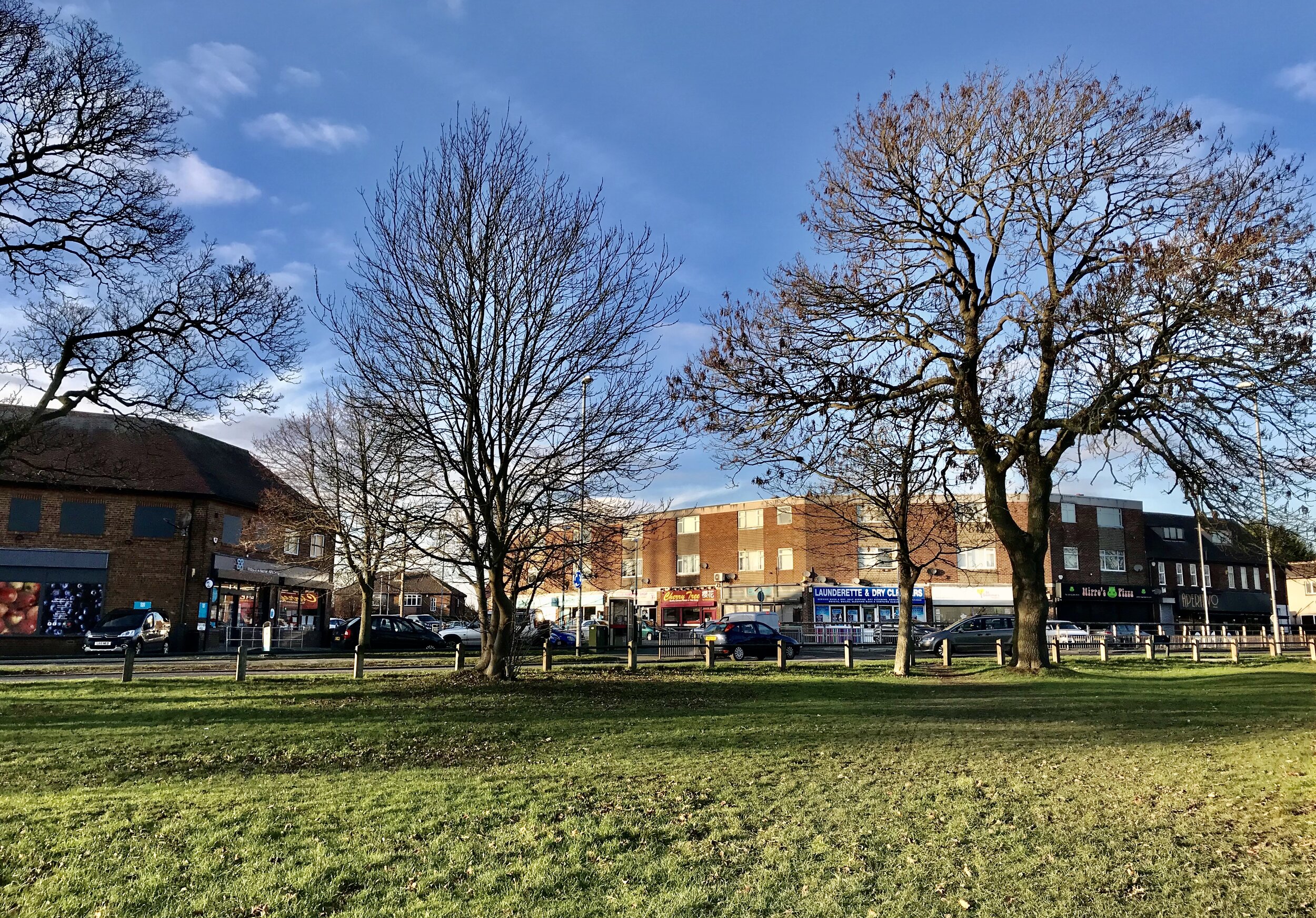
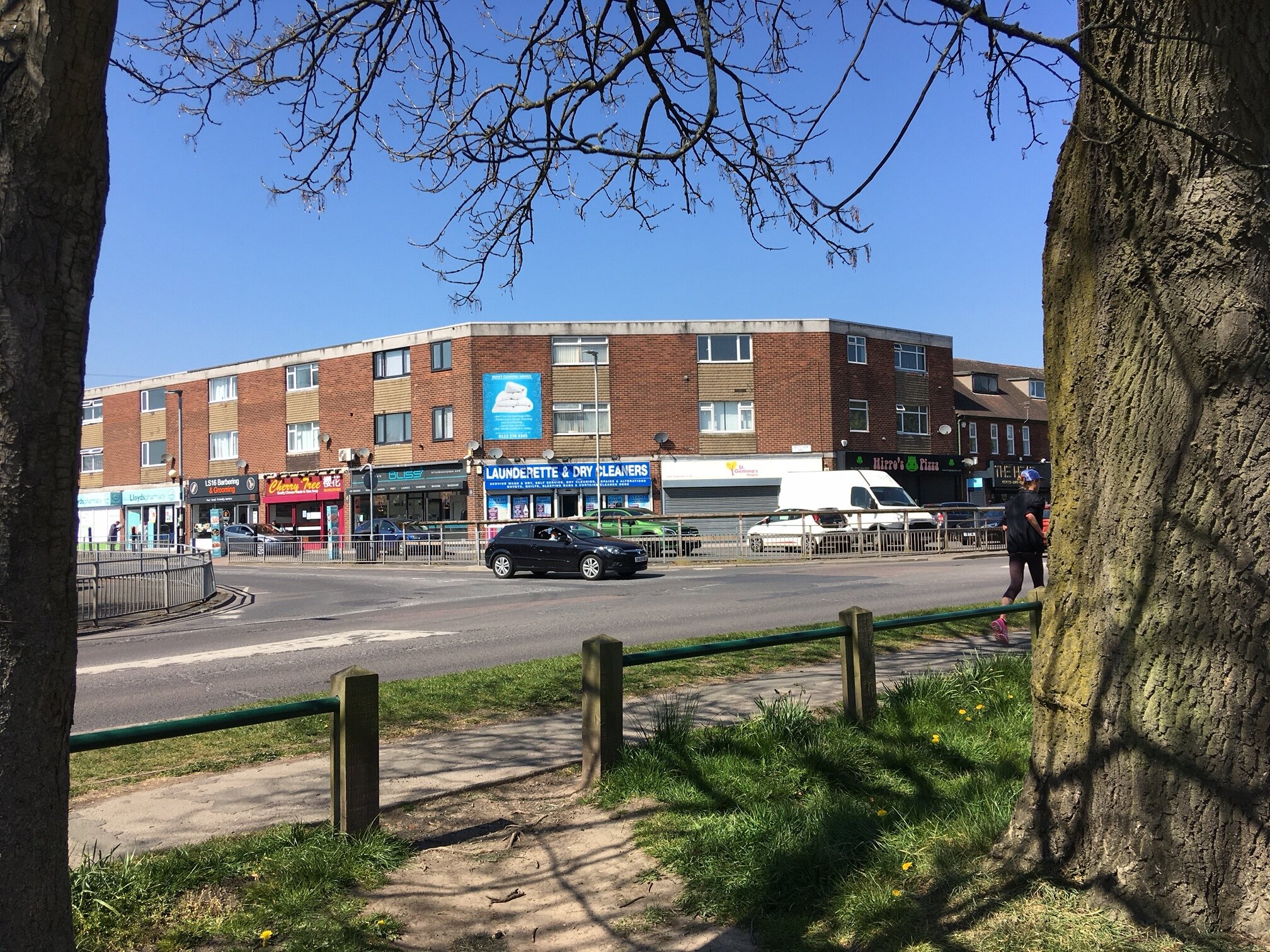
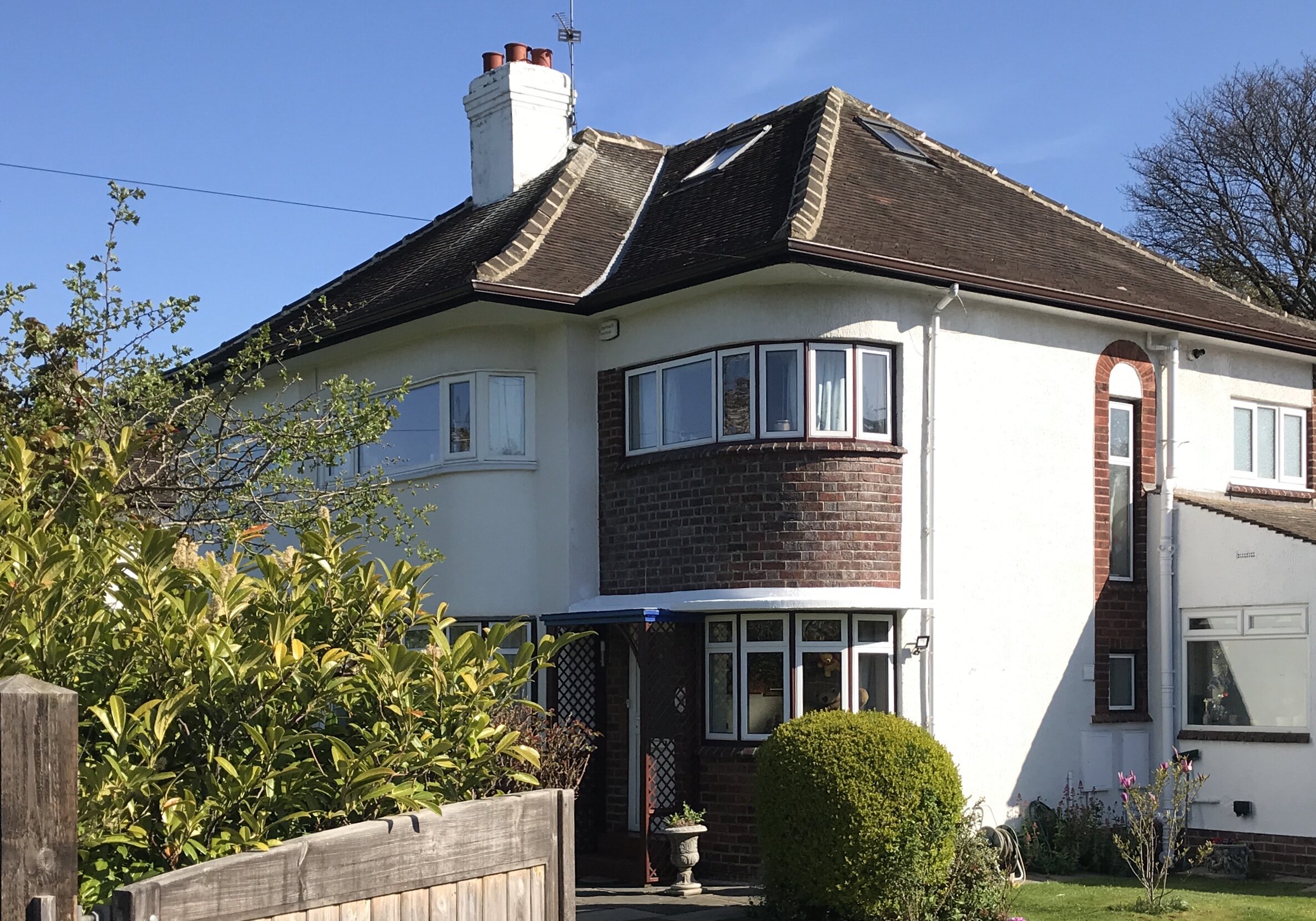
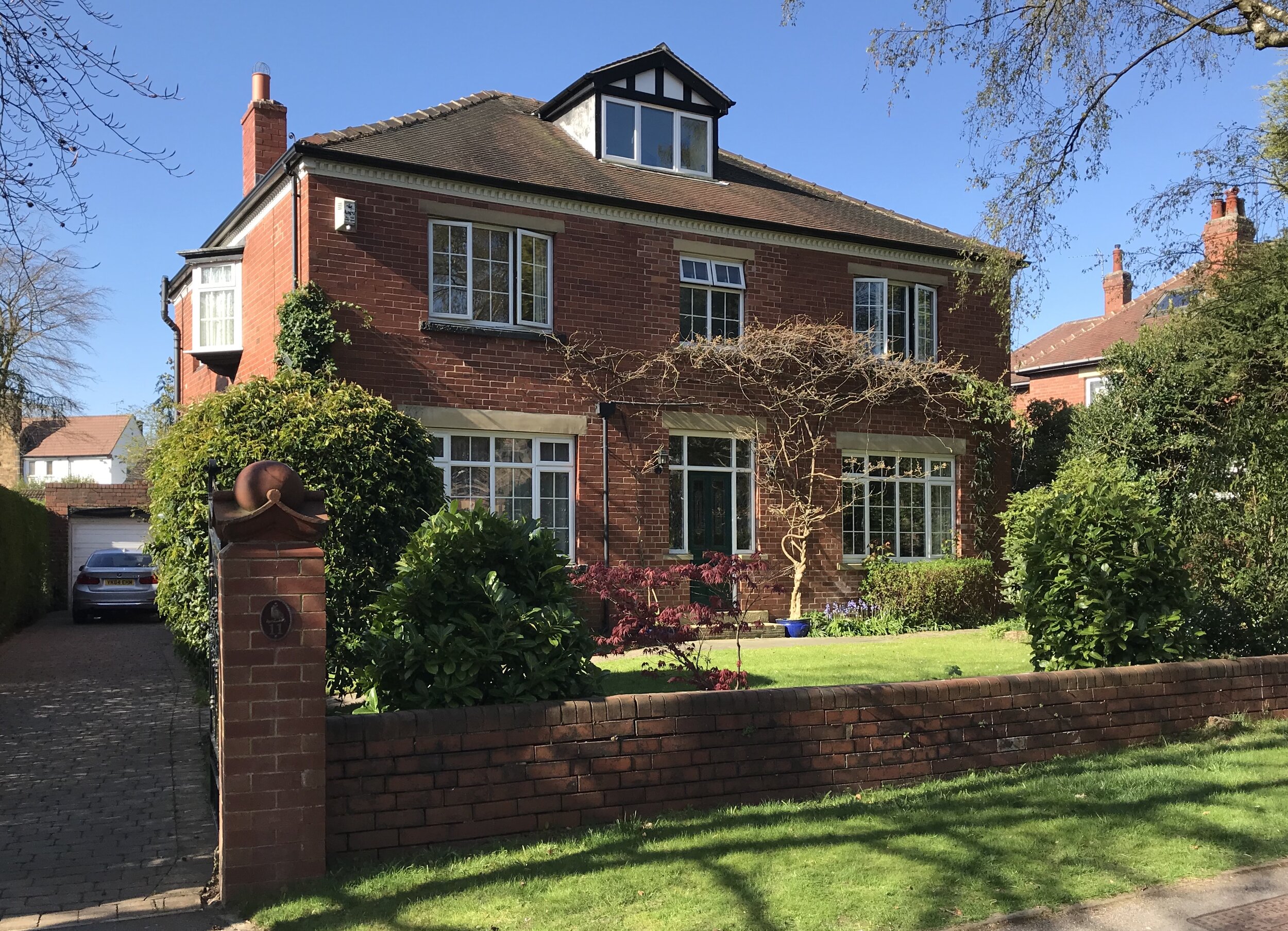
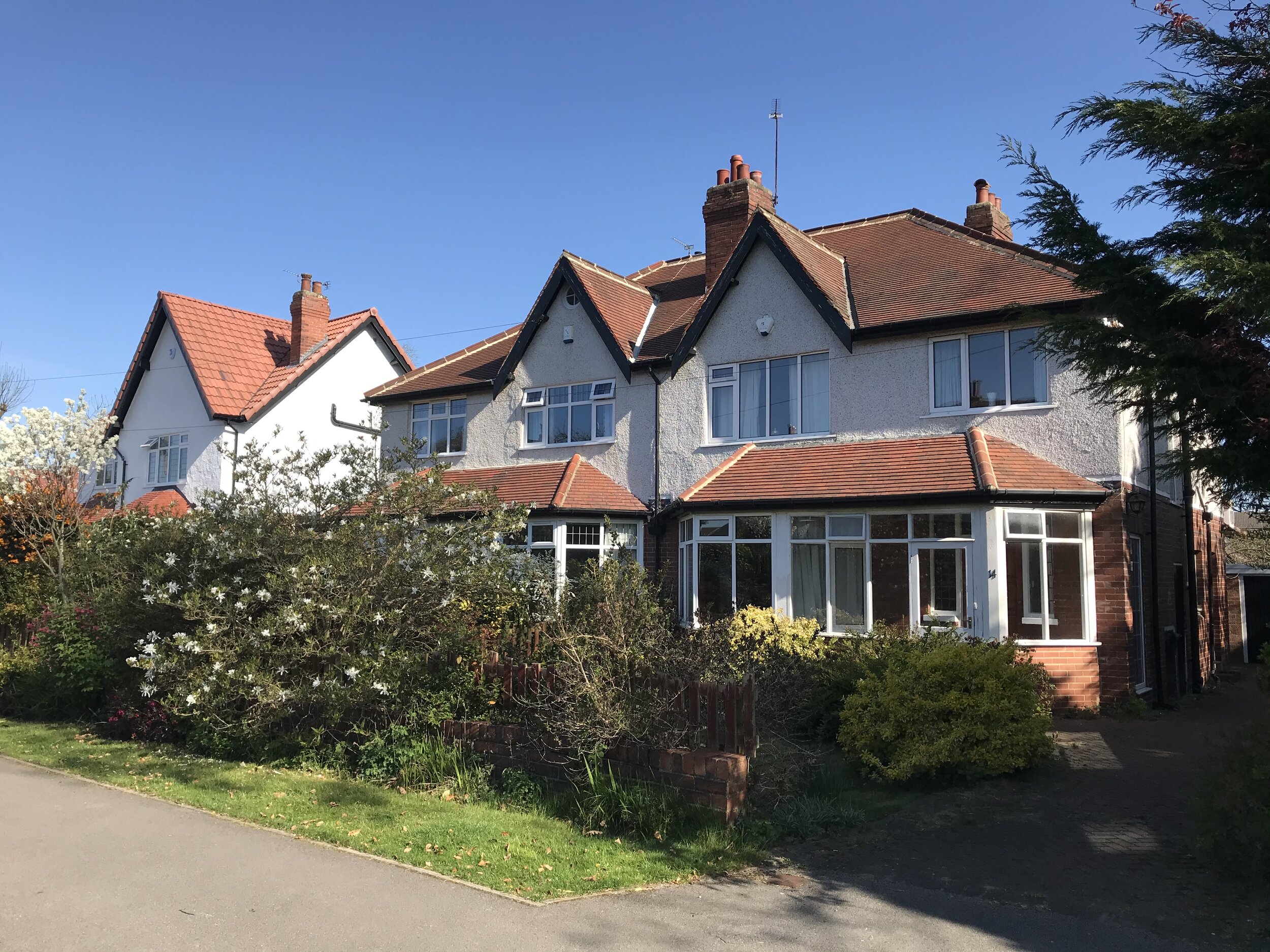
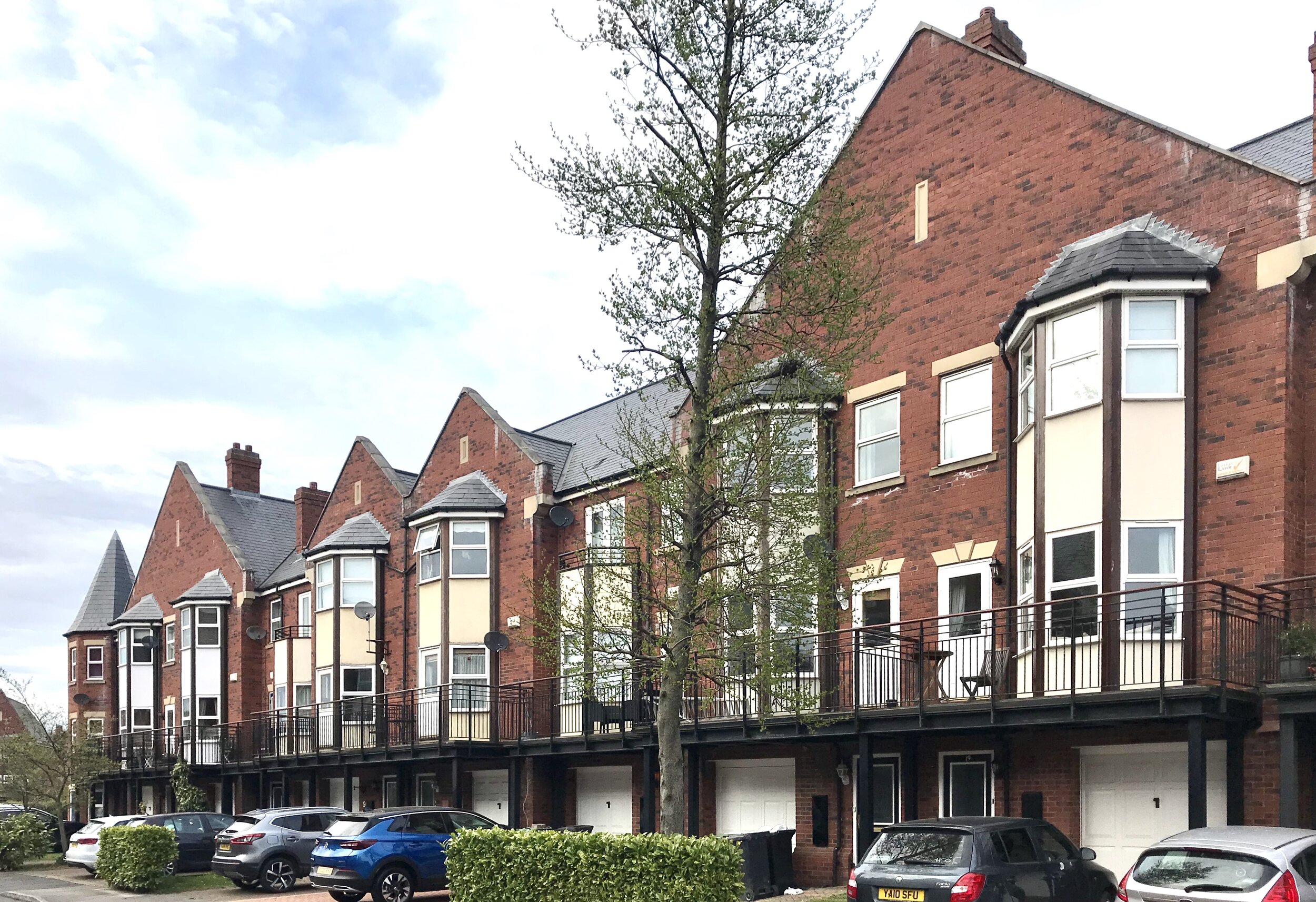
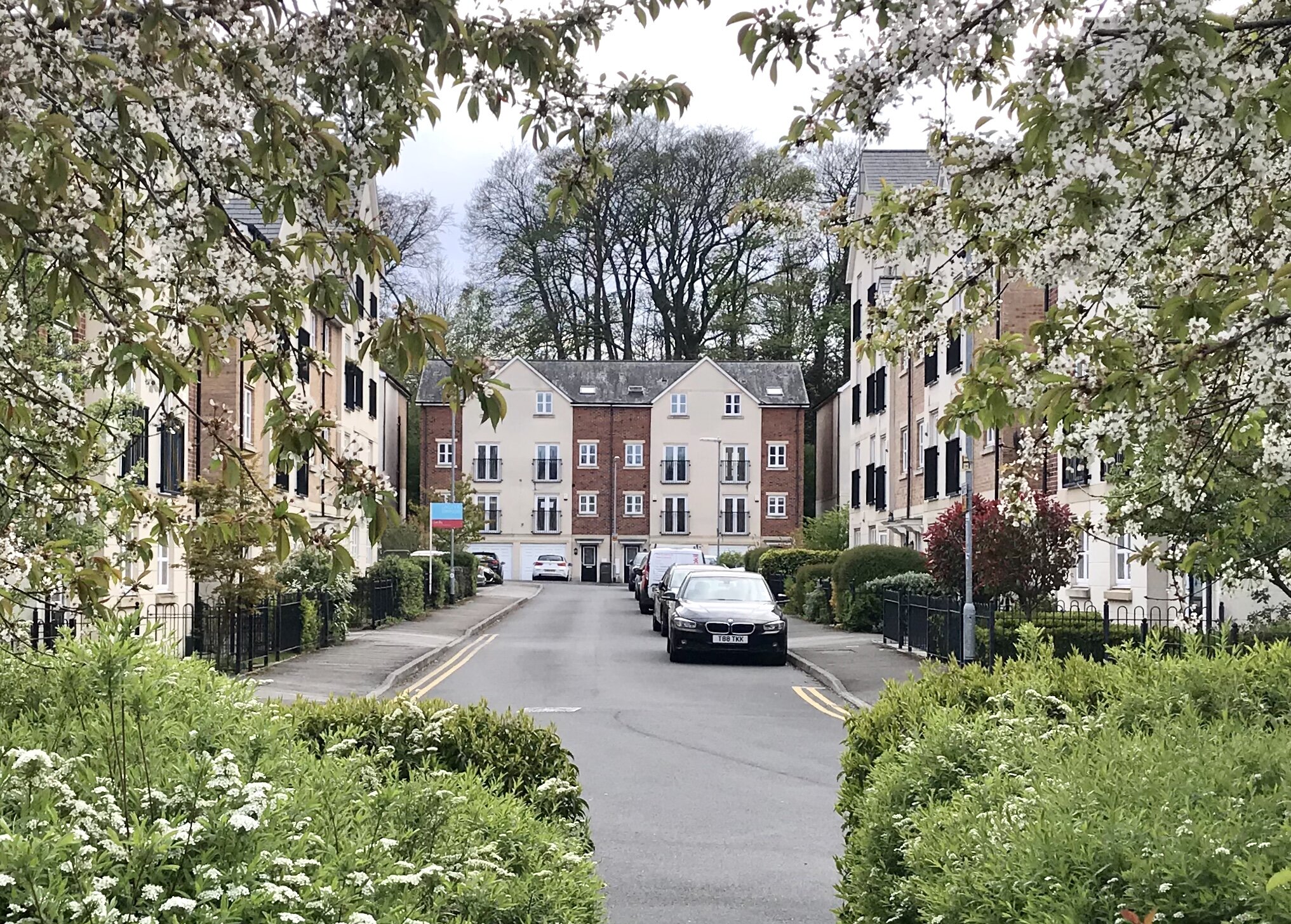
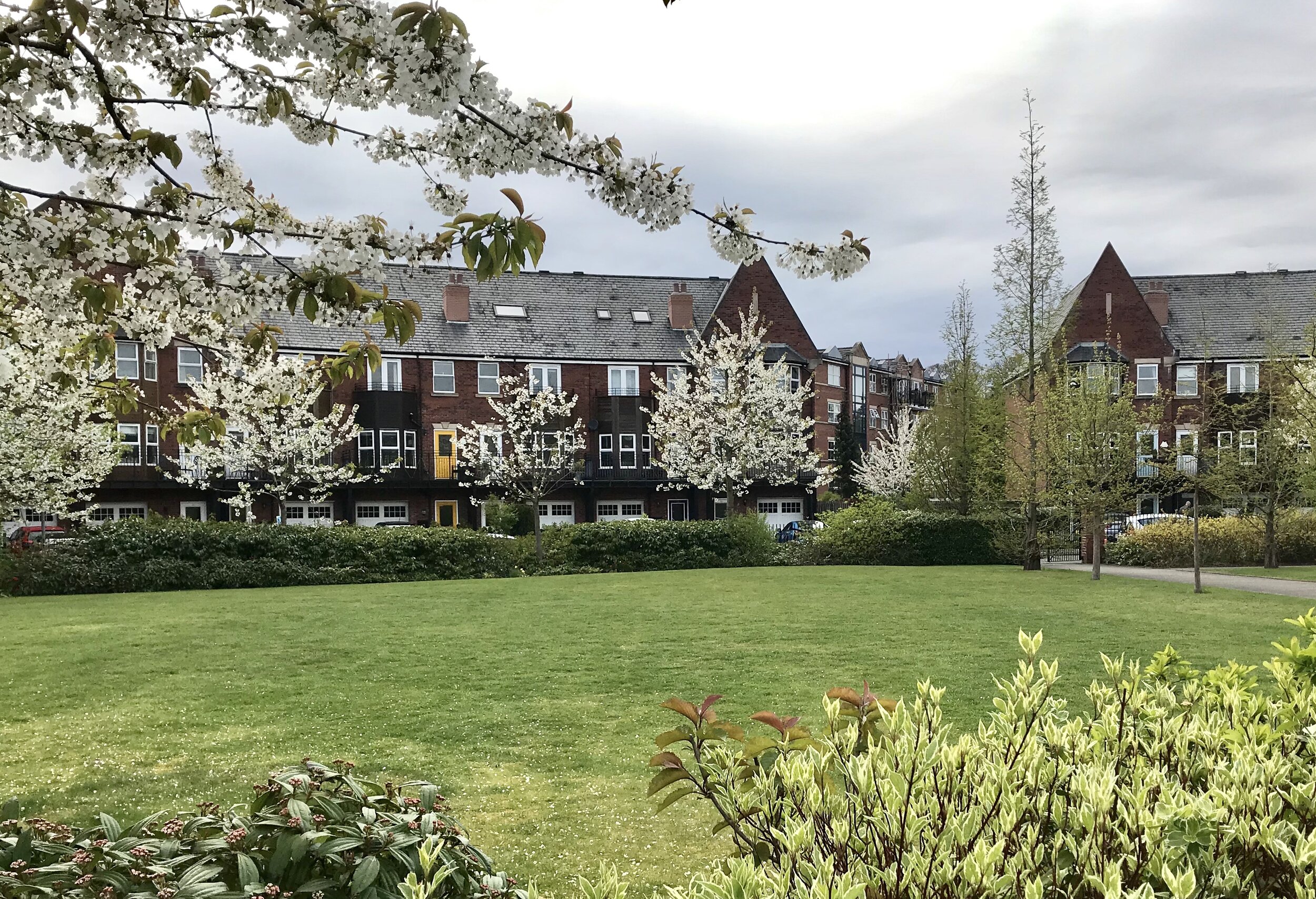
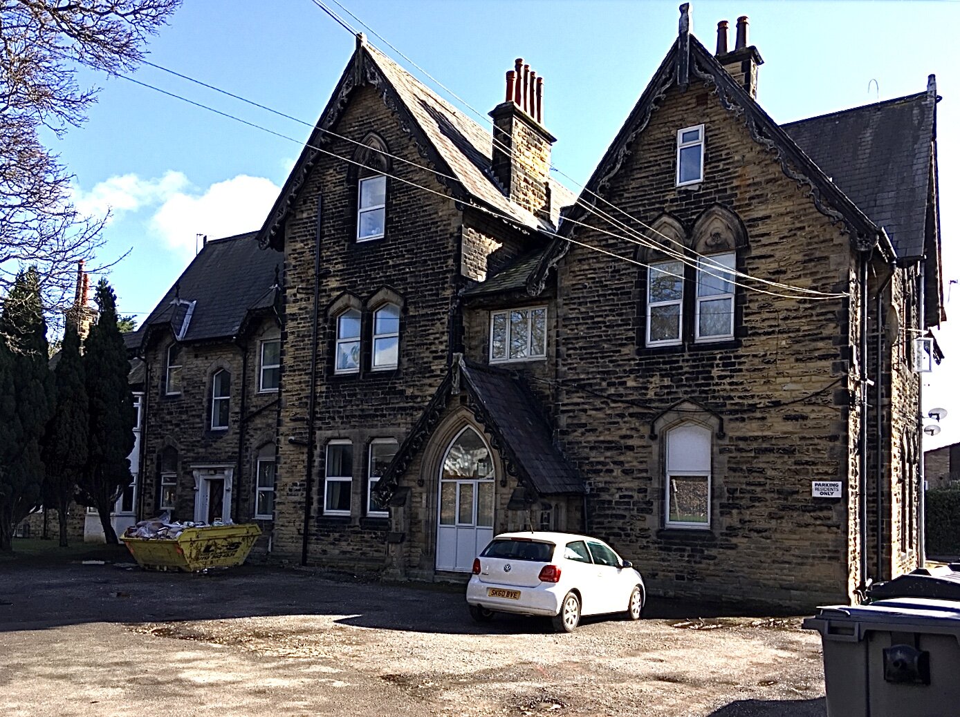
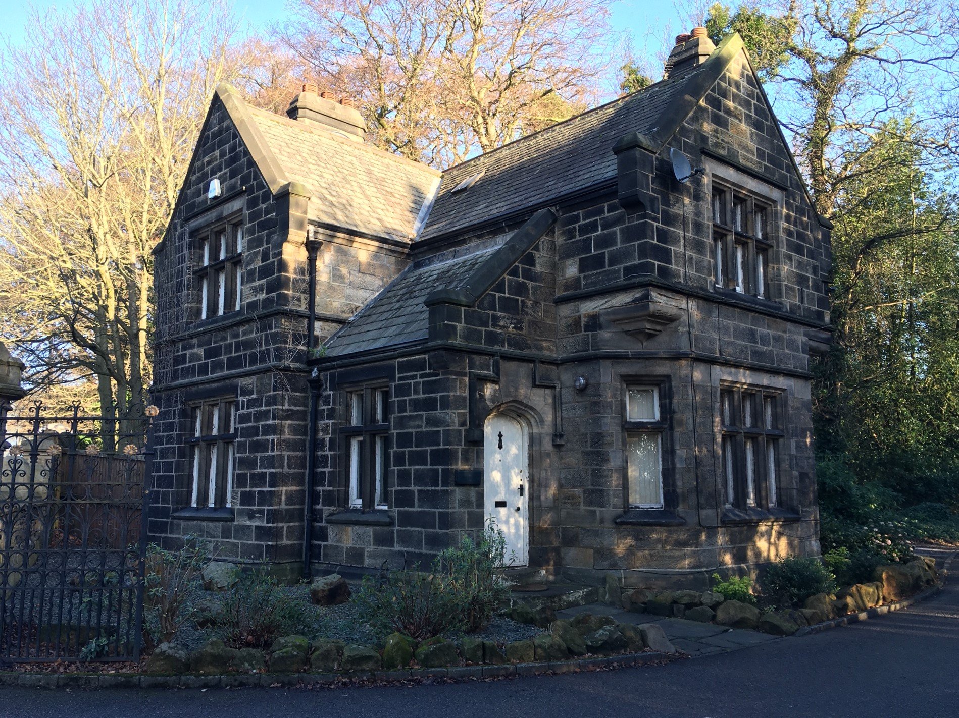
For an outline description of the area, go to West Park; see also, Listed Buildings. Also see, Central Park and its Listed Building. West Park has both Primary and Secondary schools, it has Doctors, Dentists and Chemists, two Churches, and a Post Office. It has two Shopping Centres, West Park Shops and Butcher Hill Shops. The local park is West Park Fields. Buses connect to town and to the Dales, and for visitors, there is the Village Hotel.
Photographs by kind permission of West Park Residents Association (WPRA), Helen Pickering (HP), Richard Tyler (RT) and Stuart Moss. Some of these photos are copyright and should not be reproduced without the owner's permission.
For old photographs of the area, go to Historic West Park, and for its history, see the Timeline. For other neighbourhoods, go to Headingley Now.
Those interested in West Park may like to join West Park Residents Association.
