
An Overview of Headingley
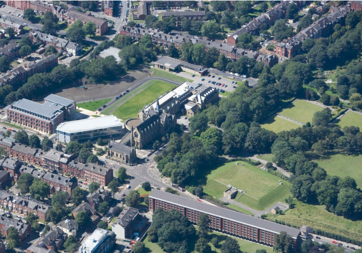
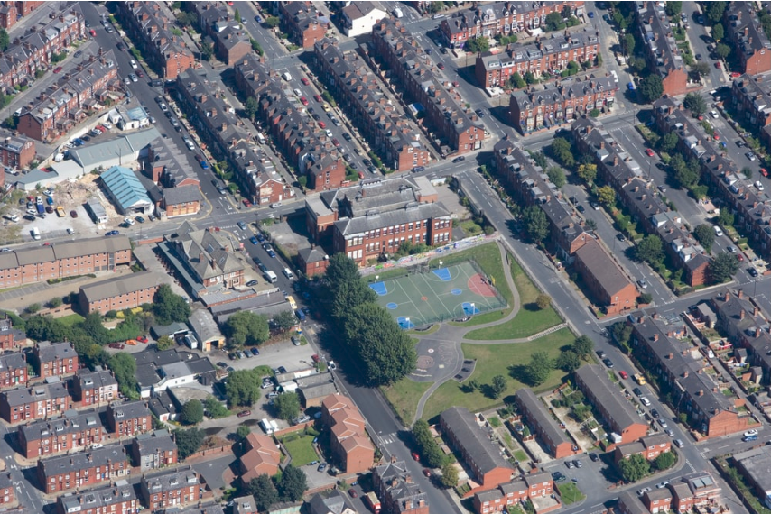
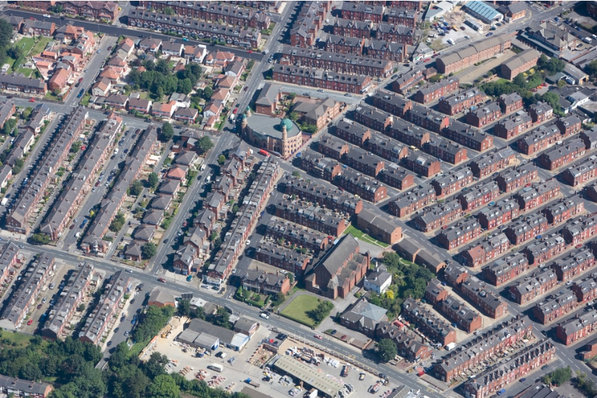
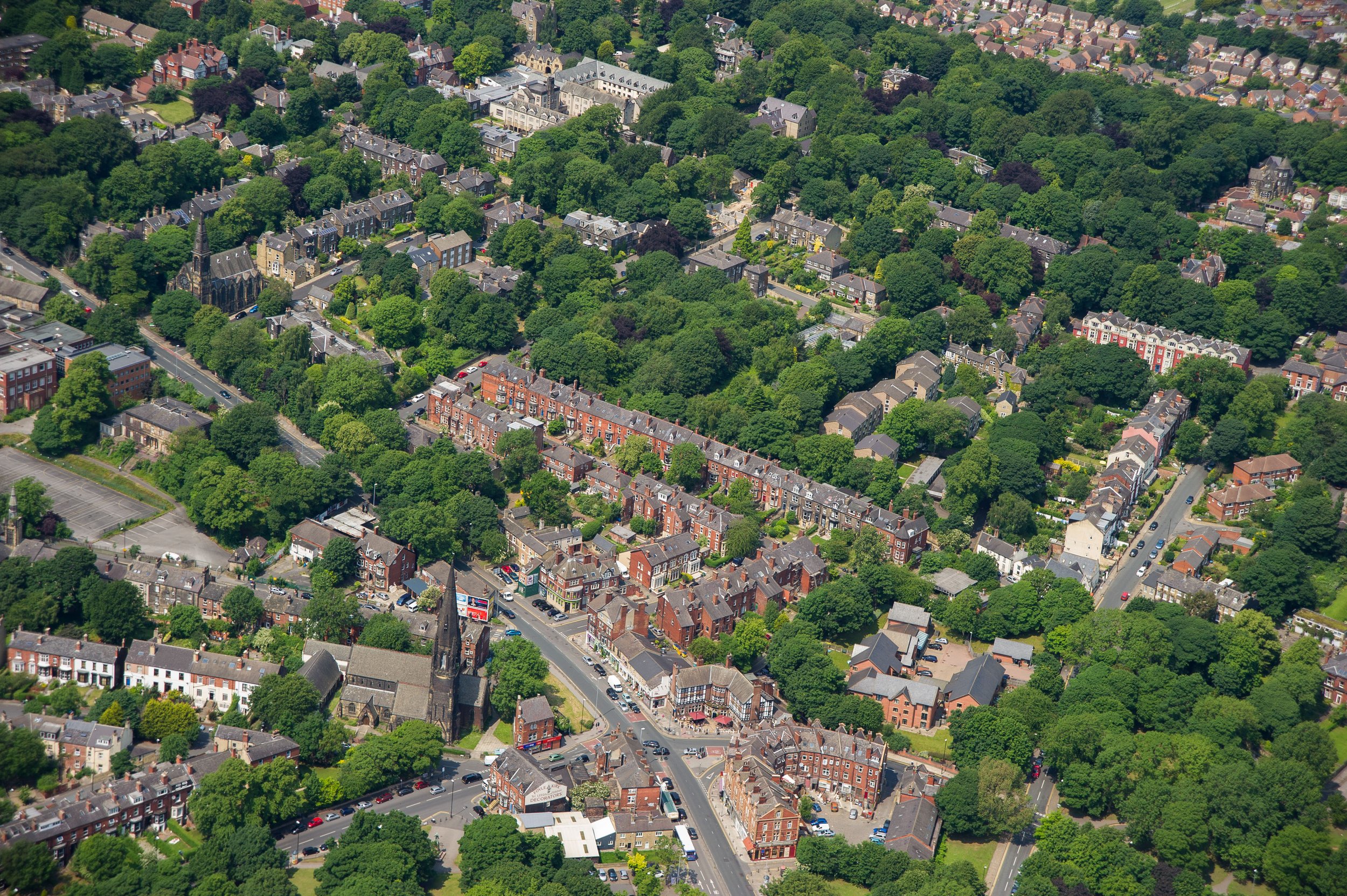
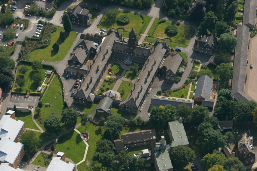
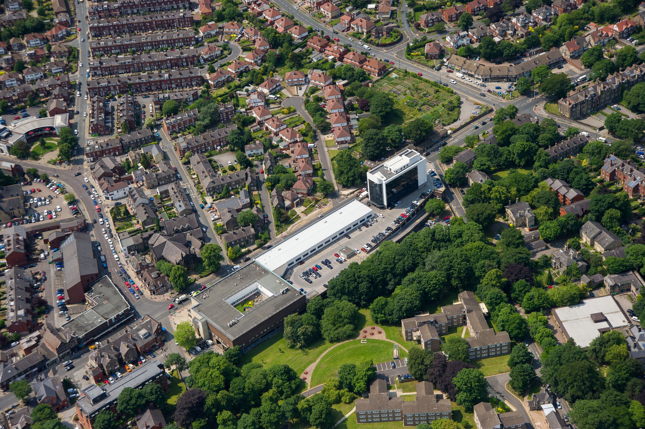
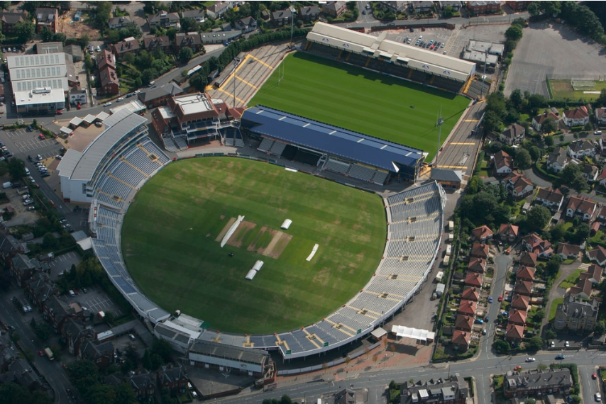
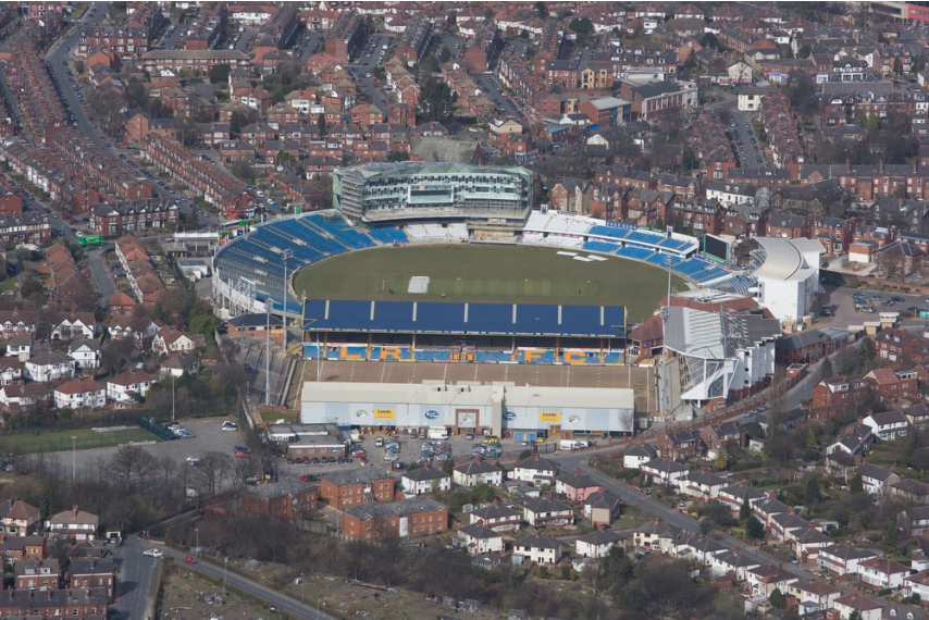
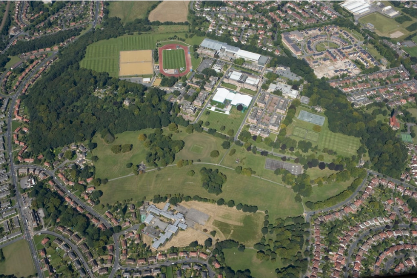
The gallery comprises aerial views taken in and around Headingley since the turn of the millennium. See also the A660 gallery.
For historic aerial photos of Headingley, go to A Historic Overview.
The photographs are copyright Historic England and Ian Barraclough. For more aerial photos, go to Historic England.
For more photos of Headingley, go to the Galleries.
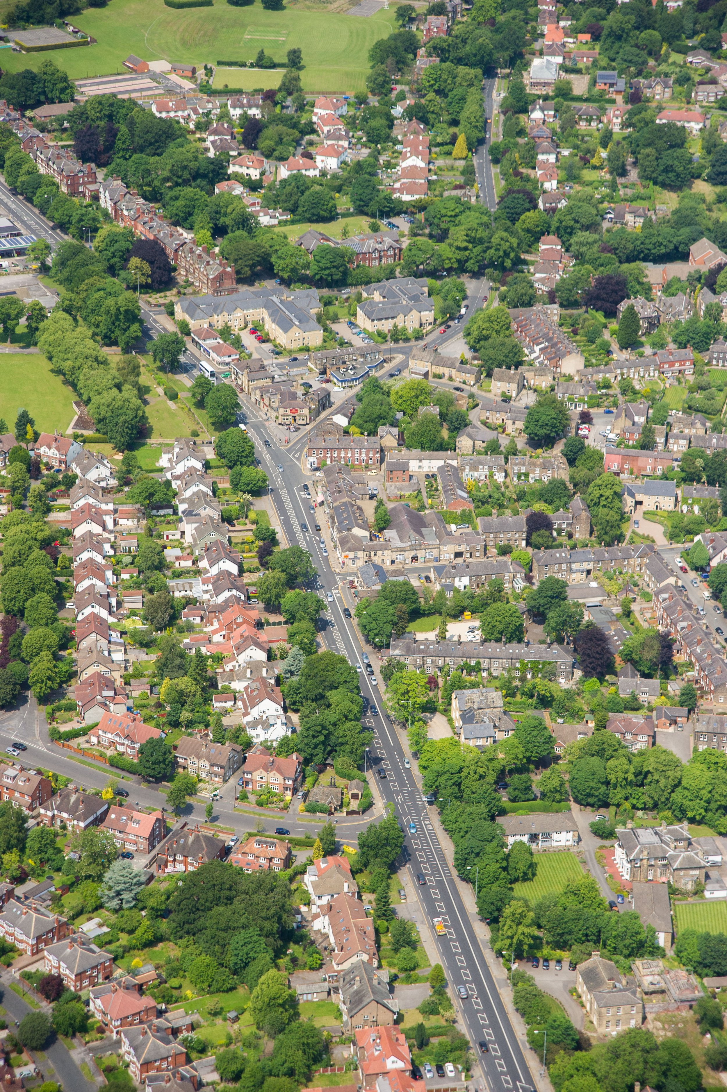
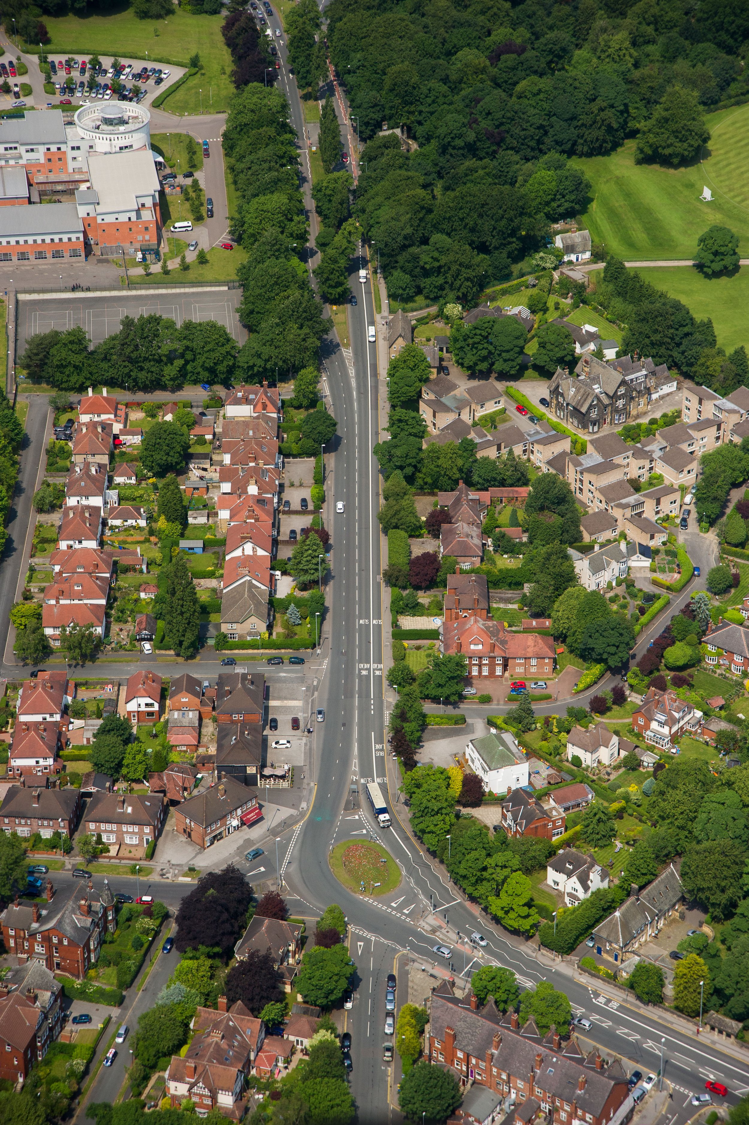
A rustic lane originally linked Headingley village with Leeds township. As the A660, it still threads together the neighbourhoods of Headingley. Woodhouse Lane enters the suburb at Hyde Park. Headingley Lane passes the terraces of South Headingley to the south and the villas of Headingley Hill to the north. Headingley Centre is then centred on the cross-roads on Otley Road, where North Lane leads to West Headingley, with the Wood Lane area to the east. Otley Road continues to the village of Far Headingley, with later developments on either hand. Then beyond, West Park lies to the west of Otley Road and Weetwood to the east. Meanwhile, these neighbourhoods are surrounded by a ring of parks. All combined make Headingley Leeds Number One Suburb.
